De Zwerver
Netherlands
2018
» Click to open
Stanfords
United Kingdom
2018
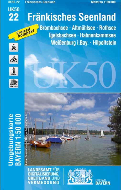
  • Franconia Lake District UK50-22
  • Franconia Lake District, map no. 50-22 covering an area around Altmühlsee, Rothsee, Bronbachsee, Ingelsbachsee, Hahnenkamm and Dennenloher See, in a series of special contoured and GP-compatible recreational maps from the Bavarian state survey organization, with cartography of the German topographic survey at 1:50,000 and extensive additional... Read more
» Click to close
De Zwerver
Netherlands
» Click to open
Stanfords
United Kingdom
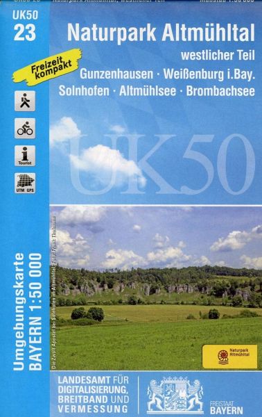
  • Altmuhltal NP West UK50-23
  • The western part of the Altmühl Valley Regional Park, map no. 50-23 covering an area around Weißenburg, Eichstätt, Gunzenhausen and Monheim, in a series of special contoured and GP-compatible recreational maps from the Bavarian state survey organization, with cartography of the German topographic survey at 1:50,000 and extensive additional... Read more
» Click to close
De Zwerver
Netherlands
» Click to open
Stanfords
United Kingdom
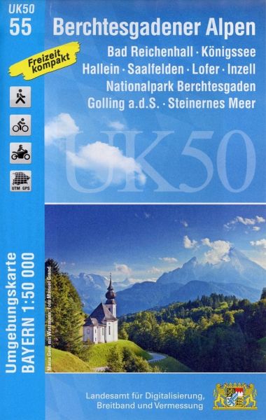
  • Berchtesgaden Alps - Bad Reichenhall - Konigssee UK50-55
  • Berchtesgaden Alps: Königssee - Bad Reichenhall area, map no. 50-55 including Hallein, Lofer and Saalfelden, in a series of special contoured and GP-compatible recreational maps from the Bavarian state survey organization, with cartography of the German topographic survey at 1:50,000 and extensive additional tourist overprint highlighting... Read more
» Click to close
De Zwerver
Netherlands
» Click to open
Stanfords
United Kingdom
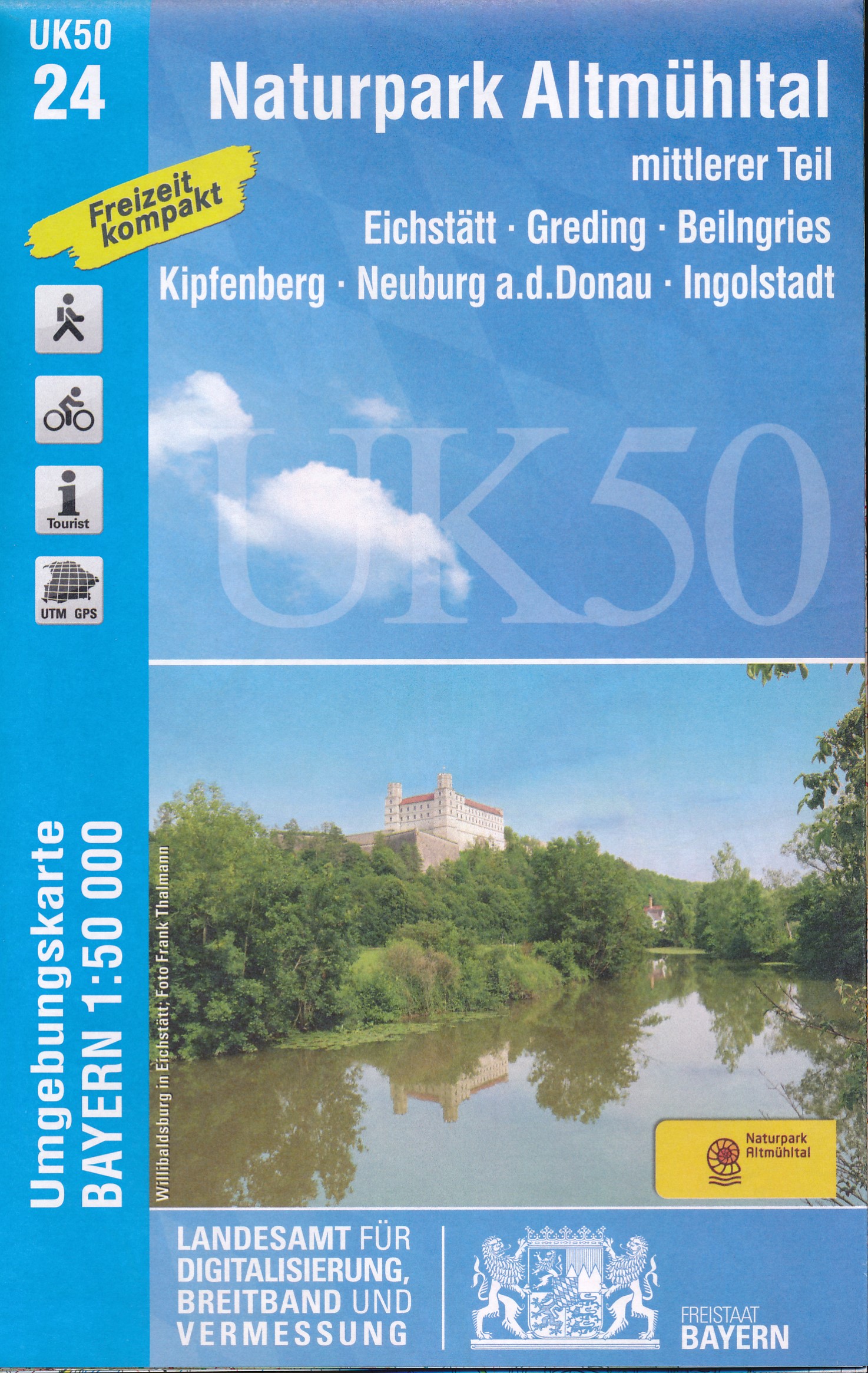
  • Altmuhltal NP Central UK50-24
  • The middle part of the Altmühl Valley Regional Park, map no. 50-24, in a series of special contoured and GP-compatible recreational maps from the Bavarian state survey organization, with cartography of the German topographic survey at 1:50,000 and extensive additional tourist overprint highlighting waymarked hiking trails and cycling routes,... Read more
» Click to close
De Zwerver
Netherlands
» Click to open
Stanfords
United Kingdom
  • Altmuhltal NP East UK50-25
  • The eastern part of the Altmühl Valley Regional Park and the western environs of Regensburg, map no. 50-25 covering an area which includes Parsberg, Riedenburg, Mainburg and Kehlheim, in a series of special contoured and GP-compatible recreational maps from the Bavarian state survey organization, with cartography of the German topographic... Read more
» Click to close
Stanfords
United Kingdom
Stanfords
United Kingdom
Stanfords
United Kingdom
Stanfords
United Kingdom
Stanfords
United Kingdom
Stanfords
United Kingdom
Stanfords
United Kingdom
Stanfords
United Kingdom
Stanfords
United Kingdom
Stanfords
United Kingdom