De Zwerver
Netherlands
De Zwerver
Netherlands
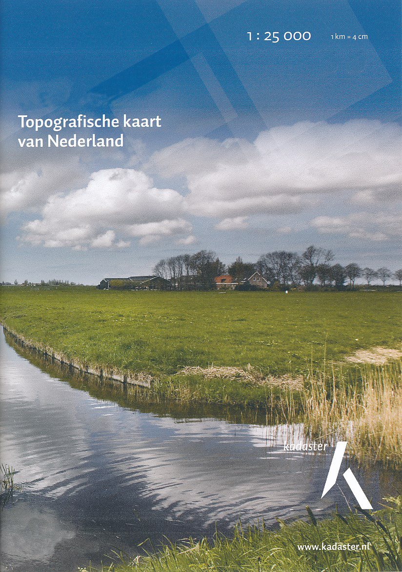
- Topografische kaart - Wandelkaart 25G Amsterdam | Kadaster
- De meest gedetailleerde kaart die via de verkoopkanalen verkrijgbaar is. Gemaakt door de Nederlandse Topografische dienst bevat deze kaart alle topografische elementen van het landschap en geeft daarmee een nauwkeurig beeld van het terrein. De meeste kaarten hebben een kaartbeeld dat overeenkomt met 12,5 x 10 kilometer in werkelijkheid. Naast... Read more
De Zwerver
Netherlands
De Zwerver
Netherlands
De Zwerver
Netherlands
De Zwerver
Netherlands

Stanfords
United Kingdom
- 2140 Rijn and Maas Delta Chart Atlas - 2019 edition
- Part of Imray’s popular small format chart coverage for the Netherlands, this atlas is a convenient A2 format, wirobound along one edge. Includes extensive coverage of Nieuwe Waterweg, Nieuwe- and Oude Maas, Brielse Meer, Spui, Noord, Dortsche Kil, Hollandsch Diep, Haringvliet, Volkerak and Grevelingenmeer. Also included are approach charts to... Read more

Stanfords
United Kingdom
- 2160 IJsselmeer Chart Atlas - 2019 edition
- Part of Imray’s popular small format chart coverage for the Netherlands, this atlas is a convenient A2 format, wirobound along one edge. Includes extensive coverage of the IJsselmeer, Markermeer and Randmeren, as well as the Nordzeekanaal from IJmuiden to Amsterdam.This 2019 edition has been fully updated throughout. The latest depth surveys... Read more

Stanfords
United Kingdom
- Gooi & Vechtstreek: Hilversum - Amersfoort - Utrecht
- Gooi and Vechtstreek - a popular hiking area south-east of Amsterdam - on a light, double-sided, waterproof and tear-resistant, GPS-compatible maps at 1:25,000 from ANWB, the country’s main motoring and touring organization. Coverage on the northern side extends southwards from the historic town of Naarden, and west/east between the... Read more

Stanfords
United Kingdom
- Netherlands Michelin
- Netherlands at 1:400,000 from Michelin, with information on driving regulations, a distance and journey time table, plus enlargements showing in greater detail road access to Amsterdam, The Hague and Rotterdam with the Europoort and Hoek Van Holland.Roads network includes local roads and is graded according to the number of lanes. Junctions... Read more

Stanfords
United Kingdom
- Fen Rail (Vennbahn) Cycle Route
- The High Fens (Vennbahn) Cycle Route, a 230-km long cycle trail from Aachen across the Hoge Venen / Hautes Fagnes Natural Park in eastern Belgium and Luxembourg to Luxembourg City, presented by the Verlag Esterbauer in guide with maps at 1:50,000 showing the route and its variants. Extensive information is conveyed by symbols, indicating road... Read more
Stanfords
United Kingdom
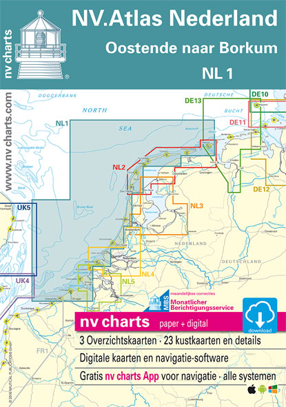
- NL1 Borkum naar Oostende
- Passage ChartsC1 Oostende tot IJmuiden 1:375.000 C2 IJmuiden tot Den Helder 1:375.000 C3 Den Helder tot Borkum 1:375.000 Coastal ChartsC4 Oostende tot Westkapelle 1:100.000 C5 Westkapelle tot Westhoofd 1:100.000 C6 Westhoofd tot Europoort 1:100.000 C7 Europoort tot Noordwijk aan Zee 1:100.000 C8 Noordwijk aan Zee tot IJmuiden 1:100.000 C9... Read more

Stanfords
United Kingdom
- NL3 Ijsselmeer en Randmeren
- Passage ChartsC1 Rotterdam tot IJsselmeer 1:375.000 Coastal ChartsC2 IJsselmeer Noord 1:80.000 C3 IJsselmeer Zuid 1:80.000 C4 Markermeer 1:80.000 C8A Gouwzee 1:30.000 C10 Friese Meren Oost 1:50.000 C11 Friese Meren West 1:50.000 C14 Randmeren· Gooimeer· Eemmeer 1:50.000 C15 Randmeren · Wolderwijd 1:50.000 C16 Randmeren · Veluwemeer 1:50.000 C17... Read more

Stanfords
United Kingdom

Stanfords
United Kingdom
- NL4 Rijn en Maas Delta
- Passage ChartsC1 Zuidelijke Noordzeekust · Zeeland 1: 375.000 Coastal ChartsC2 West Schouwen tot Westhoofd 1 : 50.000 C3 Westhoofd tot Europoort 1 : 50.000 C4 Europoort · Maasgeul 1 : 30.000 C5 Nieuwe Waterweg · Maassluis 1 : 25.000 C6 Rotterdam West 1 : 25.000 C7 Rotterdam Oost 1 : 25.000 C8 Zwijndrecht · Dordrecht 1 : 20.000 C9 Brielsemeer... Read more