The Book Depository
United Kingdom
» Click to open
Stanfords
United Kingdom
  • The Cumbria Way
  • The waterproof Footprint map-guide to the Cumbria Way - the 73 mile (117km) route between Ulverstone and Carlisle. It generally follows well maintained paths and tracks through some of the Lake District`s finest scenery. This Footprint map is divided into 5 sections each portrayed on a separate panel. It is marked in miles, starting in... Read more
» Click to close
The Book Depository
United Kingdom
The Book Depository
United Kingdom
» Click to open
De Zwerver
Netherlands
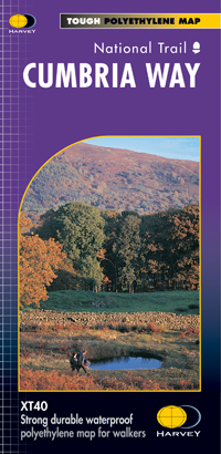
  • Wandelkaart Cumbria Way | Harvey Maps
  • Cumbria Way, a 112km / 70 mile route liking Ulverston and Carlisle across the heart of the Lake District, presented at 1:40,000 on a light, waterproof and tear-resistant map from Harvey Map Services. The route is shown on five overlapping panels, with additional street plans of Carlisle, Keswick, and Ulverston.Maps in the Harvey Read more
Stanfords
United Kingdom
  • Cumbria Way Harvey National Trail XT40
  • Cumbria Way, a 112km / 70 mile route liking Ulverston and Carlisle across the heart of the Lake District, presented at 1:40,000 on a light, waterproof and tear-resistant map from Harvey Map Services. The route is shown on five overlapping panels, with additional street plans of Carlisle, Keswick, and Ulverston.Maps in the Harvey’s series... Read more
» Click to close
Stanfords
United Kingdom