The Book Depository
United Kingdom
2022
» Click to open
» Click to close
The Book Depository
United Kingdom
» Click to open
De Zwerver
Netherlands
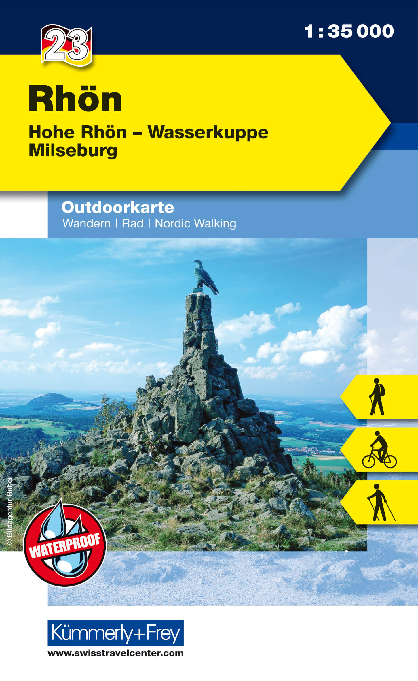
  • Wandelkaart 23 Outdoorkarte Rhön | Kümmerly & Frey
  • The Rhön region between Fulda and Bad Neustadt at 1:35,000 from Kümmerly+Frey in a series GPS compatible, double-sided maps printed on durable, waterproof and tear-resistant plastic paper; contoured, with hiking and cycle routes, other recreational activities, etc. Maps in this series are at a scale of either 1:50,000 or 1:35,000. Contour... Read more
Stanfords
United Kingdom
  • Rhön - Hohe Rhön - Wasserkuppe - Milseburg K+F Outdoor Map 23
  • The Rhön region between Fulda and Bad Neustadt at 1:35,000 from Kümmerly+Frey in a series GPS compatible, double-sided maps printed on durable, waterproof and tear-resistant plastic paper; contoured, with hiking and cycle routes, other recreational activities, etc. Maps in this series are at a scale of either 1:50,000 or 1:35,000. Contour... Read more
» Click to close
The Book Depository
United Kingdom
» Click to open
Stanfords
United Kingdom
  • Hochspessart - Aschaffenburg - Lohr - Wertheim K+F Outdoor Map 50
  • Hochspessart - Aschaffenburg - Lohr - Wertheim area of Germany at 1:35,000 from Kümmerly+Frey in a series GPS compatible, double-sided maps printed on durable, waterproof and tear-resistant plastic paper; contoured, with hiking and cycle routes, other recreational activities, etc.Maps in this series are at a scale of either 1:50,000 or... Read more
» Click to close
The Book Depository
United Kingdom
» Click to open
De Zwerver
Netherlands
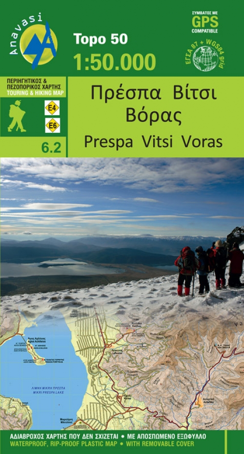
  • Wandelkaart 6.2 Prespa - Vitsi - Voras | Anavasi
  • Uitstekende topografische kaarten van een deel van Griekenland: zonder meer hele goede kaarten voor wandeltochten in een onbekend stuk Griekenland! Ze zijn gedrukt op scheurvast en watervast papier op een schaal van 1:50.000 met een UTM grid voor GPS gebruikers. Op de meeste kaarten is geven de hoogtelijnen een interval van 20m. aan. Met... Read more
Stanfords
United Kingdom
  • Prespa - Vitsi - Voras Anavasi 6.2
  • Prespa - Vitsi – Voras area of northern Greece at 1:50,000 on a light, waterproof and tear-resistant, GPS compatible, contoured map from Anavasi, with recommendations for three hiking trails and notes on the E4 and E6 cross-European trails. The map is double-sided; coverage in the west starts from the Prespa Lake on the border with Albania and... Read more
» Click to close
The Book Depository
United Kingdom
» Click to open
De Zwerver
Netherlands
Stanfords
United Kingdom
» Click to close
De Zwerver
Netherlands
2019
De Zwerver
Netherlands
De Zwerver
Netherlands
» Click to open
Stanfords
United Kingdom
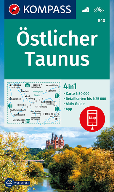
  • Taunus East Kompass 840
  • The eastern part of the Taunus Mountain in Hessen on a detailed, GPS compatible map at 1:50,000 from Kompass with local and long-distance footpaths, cycling routes, accommodation, etc, printed on durable, waterproof and tear-resistant synthetic paper.KOMPASS HIKING & RECREATIONAL MAPS: this title is part of an extensive series covering Austria,... Read more
» Click to close
De Zwerver
Netherlands
De Zwerver
Netherlands
2023
De Zwerver
Netherlands
2020
De Zwerver
Netherlands
De Zwerver
Netherlands
De Zwerver
Netherlands
» Click to open
Stanfords
United Kingdom
  • Stara Planina Western: Berkovita to Zlatitsa Domino Map
  • Stara Planina Western: Berkovita to Zlatitsa map at 1:50,000 from Bulgarian publishers Domino, contoured and GPS compatible, with hiking trails, accommodation options including a list of local mountain refuges, etc. The map is double-sided and covers the mountains from Varshets (directly north of Sofia) to just beyond Etrepole.Maps in the... Read more
» Click to close
De Zwerver
Netherlands
2019