The Book Depository
United Kingdom
United Kingdom
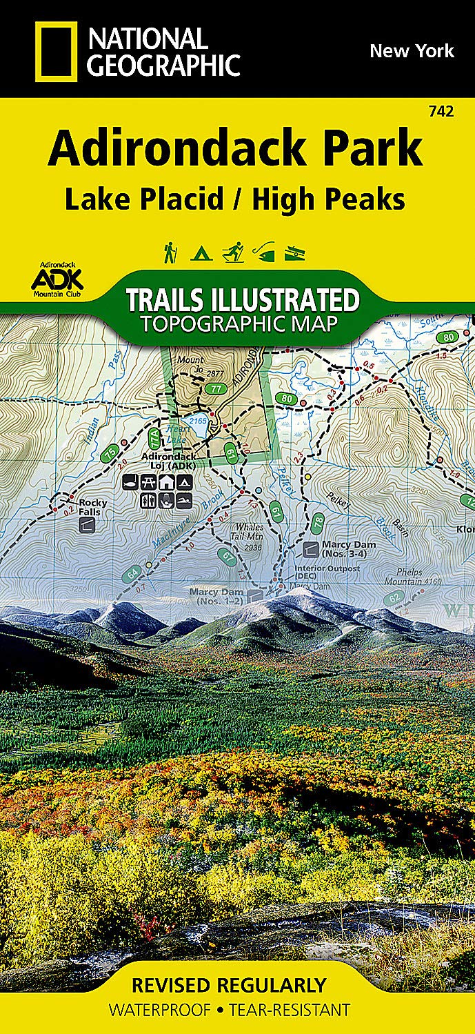
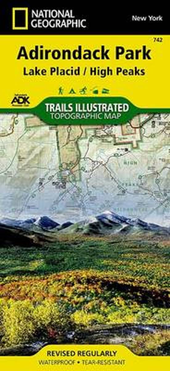
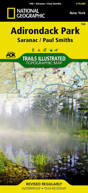
- Paul Smiths/saranac, Adirondack Park
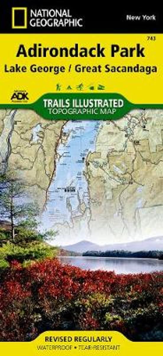
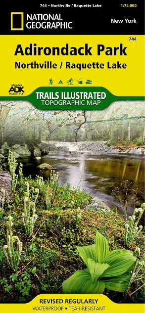
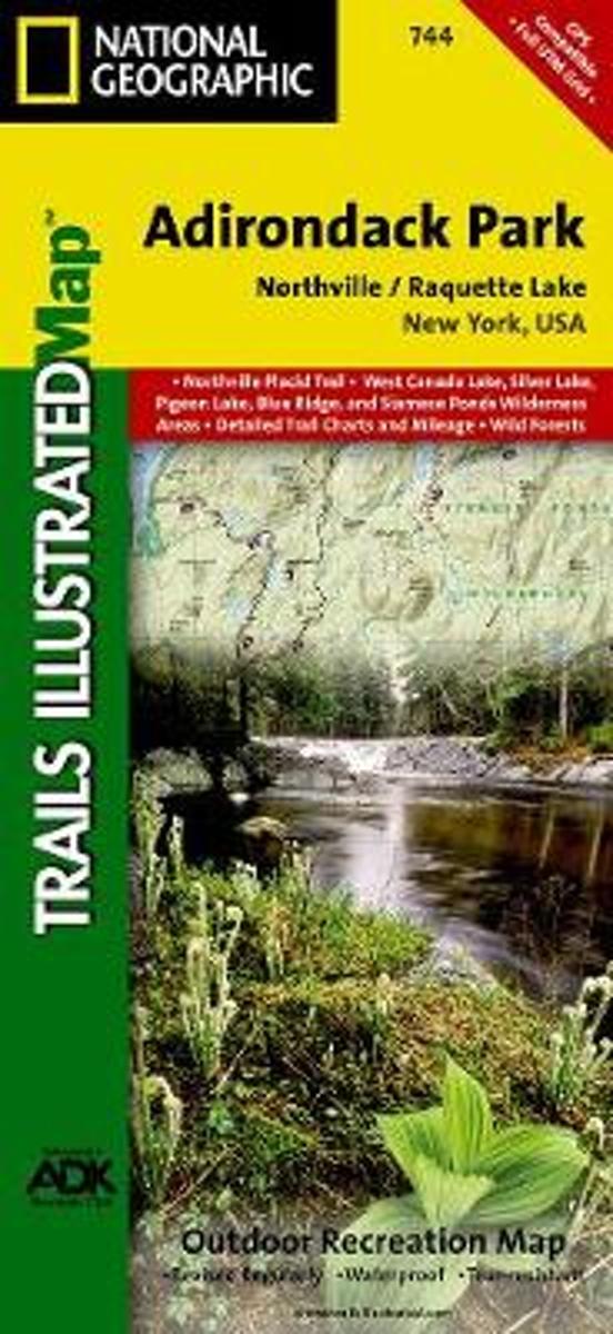
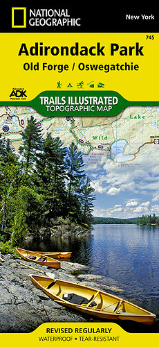
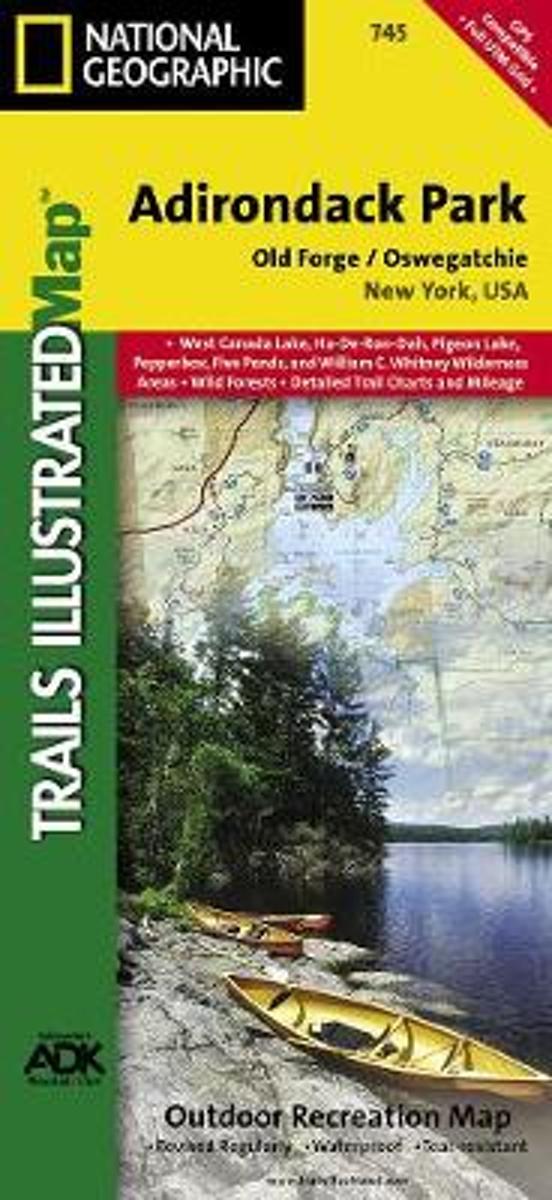
- Trails Illustrated Other Rec. Areas Read more
- Also available from:
- De Zwerver, Netherlands
- Stanfords, United Kingdom
- Bol.com, Netherlands
- Bol.com, Belgium
De Zwerver
Netherlands
Netherlands
- Wandelkaart - Topografische kaart 746 Adirondack Park - Saranac - Paul Smiths | National Geographic
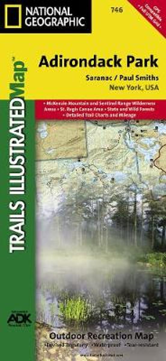
- Prachtige geplastificeerde kaart van het bekende nationaal park. Met alle recreatieve voorzieningen als campsites, maar ook met topografische details en wandelroutes ed. Door uitgekiend kleurgebruik zeer prettig in gebruik. Scheur en watervast! National Geographic's Trails Illustrated map of Adirondack Park Saranac/Paul Smiths is a... Read more

Stanfords
United Kingdom
United Kingdom
- Adirondack Park - Saranac - Paul Smiths NY
- Map No. 746, Adirondack Park: Paul Smiths - Saranac, in an extensive series of GPS compatible, contoured hiking maps of USA’s national and state parks or forests and other popular recreational areas. Cartography based on the national topographic survey, with additional tourist information.The maps, with most titles now printed on light,... Read more
Bol.com
Netherlands
Netherlands
- Paul Smiths/saranac, Adirondack Park
- Waterproof Tear-Resistant Topographic MapNational Geographic's Trails Illustrated map of Adirondack Park Saranac/Paul Smiths is a two-sided, waterproof, topographic trail map designed to meet the needs of outdoor enthusiasts with unmatched durability and detail. This map was created in cooperation with the Adirondack Mountain Club and is... Read more
Bol.com
Belgium
Belgium
- Paul Smiths/saranac, Adirondack Park
- Waterproof Tear-Resistant Topographic MapNational Geographic's Trails Illustrated map of Adirondack Park Saranac/Paul Smiths is a two-sided, waterproof, topographic trail map designed to meet the needs of outdoor enthusiasts with unmatched durability and detail. This map was created in cooperation with the Adirondack Mountain Club and is... Read more