The Book Depository
United Kingdom
» Click to open
De Zwerver
Netherlands
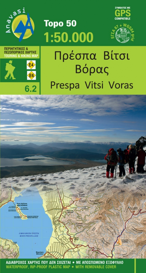
  • Wandelkaart 6.2 Prespa - Vitsi - Voras | Anavasi
  • Uitstekende topografische kaarten van een deel van Griekenland: zonder meer hele goede kaarten voor wandeltochten in een onbekend stuk Griekenland! Ze zijn gedrukt op scheurvast en watervast papier op een schaal van 1:50.000 met een UTM grid voor GPS gebruikers. Op de meeste kaarten is geven de hoogtelijnen een interval van 20m. aan. Met... Read more
Stanfords
United Kingdom
  • Prespa - Vitsi - Voras Anavasi 6.2
  • Prespa - Vitsi – Voras area of northern Greece at 1:50,000 on a light, waterproof and tear-resistant, GPS compatible, contoured map from Anavasi, with recommendations for three hiking trails and notes on the E4 and E6 cross-European trails. The map is double-sided; coverage in the west starts from the Prespa Lake on the border with Albania and... Read more
» Click to close
The Book Depository
United Kingdom
» Click to open
Stanfords
United Kingdom
  • Tennengebirge - Lammertal - Osternhorngruppe F&B WK392
  • Tennengebirge - Lammertal - Osternhorngruppe area of the Austrian Alps presented at 1:50,000 in a series of contoured and GPS compatible outdoor leisure map from Freytag & Berndt with hiking and cycling routes, mountain huts, campsites and youth hostels, local bus stops, plus other tourist information. To see the list of currently available... Read more
» Click to close
De Zwerver
Netherlands
De Zwerver
Netherlands
» Click to open
Stanfords
United Kingdom
  • Stara Planina Central: Zlatitsa to Kalofer Domino Map
  • Stara Planina Central: Zlatitsa to Kalofer map at 1:50,000 from Bulgarian publishers Domino, contoured and GPS compatible, with hiking trails, accommodation options including a list of local mountain refuges, etc. The map is double-sided and covers the mountains from just west of Ribaritsa and Zlatitsa eastwards beyond Kalofer to the peak of... Read more
» Click to close
De Zwerver
Netherlands
» Click to open
Stanfords
United Kingdom
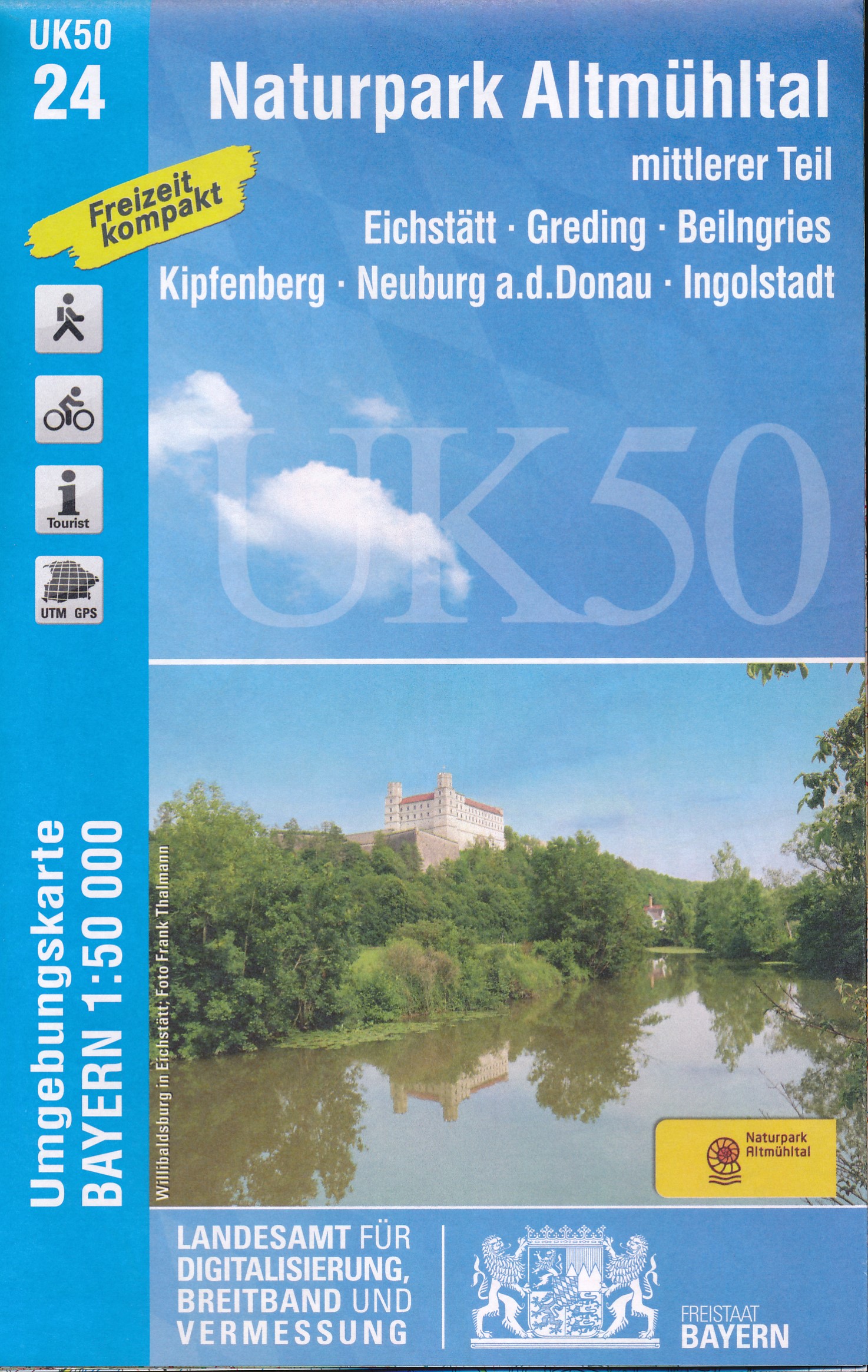
  • Altmuhltal NP Central UK50-24
  • The middle part of the Altmühl Valley Regional Park, map no. 50-24, in a series of special contoured and GP-compatible recreational maps from the Bavarian state survey organization, with cartography of the German topographic survey at 1:50,000 and extensive additional tourist overprint highlighting waymarked hiking trails and cycling routes,... Read more
» Click to close
De Zwerver
Netherlands
» Click to open
Stanfords
United Kingdom
  • Altmuhltal NP East UK50-25
  • The eastern part of the Altmühl Valley Regional Park and the western environs of Regensburg, map no. 50-25 covering an area which includes Parsberg, Riedenburg, Mainburg and Kehlheim, in a series of special contoured and GP-compatible recreational maps from the Bavarian state survey organization, with cartography of the German topographic... Read more
» Click to close
De Zwerver
Netherlands
De Zwerver
Netherlands
2022
De Zwerver
Netherlands
De Zwerver
Netherlands
» Click to open
Stanfords
United Kingdom
  • Stara Planina Central: Uzana to Vratnik Domino Map
  • Stara Planina Central: Uzana to Vratnik map at 1:50,000 from Bulgarian publishers Domino, contoured and GPS compatible, with hiking trails, accommodation options including a list of local mountain refuges, etc. The map is double-sided and covers the mountains from just west of the Uzana massif, the geographical centre of Bulgaria, eastwards to... Read more
» Click to close
De Zwerver
Netherlands
De Zwerver
Netherlands
De Zwerver
Netherlands
» Click to open
Stanfords
United Kingdom
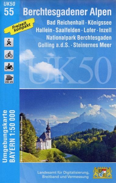
  • Berchtesgaden Alps - Bad Reichenhall - Konigssee UK50-55
  • Berchtesgaden Alps: Königssee - Bad Reichenhall area, map no. 50-55 including Hallein, Lofer and Saalfelden, in a series of special contoured and GP-compatible recreational maps from the Bavarian state survey organization, with cartography of the German topographic survey at 1:50,000 and extensive additional tourist overprint highlighting... Read more
» Click to close
De Zwerver
Netherlands
» Click to open
Stanfords
United Kingdom
  • Stara Planina Western: Belogradchik to Berkovita Domino Map
  • Stara Planina Western: Belogradchik to Berkovita map at 1:50,000 from Bulgarian publishers Domino, contoured and GPS compatible, with hiking trails, accommodation options including a list of local mountain refuges, etc. The map is double-sided and covers the mountains from the peak of Byala Voda near Belogradchik eastwards to just beyond... Read more
» Click to close
De Zwerver
Netherlands