The Book Depository
United Kingdom
» Click to open
Stanfords
United Kingdom
  • Topographical Map of the Lake District - Wainwright Fells
  • The fells of the Lake District shown on a contoured map at 1:100,000 approx. from Rivers Publishing, with on the reverse side tables showing the 214 fells grouped by location and each presented with its height and a column so the user can record the date climbed or other personal notes. Coverage extends from the Northern Fells group southwards... Read more
» Click to close
The Book Depository
United Kingdom
» Click to open
Stanfords
United Kingdom
  • Gerry Charnley Round in the Lakeland Fells
  • Bob Graham Round, a 63km / 38 mile approx. circuit in the fells of the Lake District presented at 1:40,000 on a light, waterproof and tear-resistant map from Harvey Map Services. The circuit, first devised in 1984, includes Scafell and Scafell Pike but provides a shorter alternative to the better known and more challenging Bob Graham Round. The... Read more
» Click to close
The Book Depository
United Kingdom
2015
» Click to open
De Zwerver
Netherlands
2015
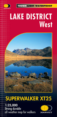
  • Wandelkaart Lake District West | Harvey Maps
  • The western part of the Lake District at 1:25,000 on a light, waterproof and tear-resistant, GPS compatible, double-sided map from Harvey Map Services in their Superwalker series. Coverage includes Grasmere, Coniston, Torver, Wast Water, Coniston Water, the peaks of Scaffel and Scaffel Pike, etc. The whole of Lake District is covered on four... Read more
Stanfords
United Kingdom
2015
  • Lake District West Harvey Superwalker XT25
  • The western part of the Lake District at 1:25,000 on a light, waterproof and tear-resistant map from Harvey Map Services in their Superwalker series. Coverage includes Grasmere, Coniston, Torver, Wast Water, Coniston Water, the peaks of Scaffel and Scaffel Pike, etc.PLEASE NOTE: this title is also available as a pocket-size Ultramap with its... Read more
» Click to close
The Book Depository
United Kingdom
» Click to open
Stanfords
United Kingdom
  • Lake District A-Z Adventure Atlas
  • The A-Z Adventure Series of maps combines the best of OS and A-Z, creating the perfect companion for walkers, off-road cyclists, horse riders and anyone wishing to explore the great outdoors.The Lake District is a National Park and a Unesco World Heritage Site in northwest England. It is a region rich in natural beauty with breathtaking views... Read more
» Click to close
The Book Depository
United Kingdom
2015
» Click to open
De Zwerver
Netherlands
2015
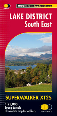
  • Wandelkaart Lake District Zuid Oost | Harvey Maps
  • The south-eastern part of the Lake District at 1:25,000 on a light, waterproof and tear-resistant, GPS compatible, double-sided map from Harvey Map Services in their Superwalker series. Coverage includes Kendal, Windermere, Bowness-on-Windermere, Coniston, Newby Bridge, Coniston Water, Lake Windermere, etc, and extends from Ambleside in the... Read more
Stanfords
United Kingdom
2015
  • Lake District South East Harvey Superwalker XT25
  • The south-eastern part of the Lake District at 1:25,000 on a light, waterproof and tear-resistant map from Harvey Map Services in their Superwalker series. Coverage includes Kendal, Windermere, Bowness-on-Windermere, Coniston, Newby Bridge, Coniston Water, Lake Windermere, etc, and extends from Ambleside in the north to Newby Bridge in the... Read more
» Click to close
The Book Depository
United Kingdom
The Book Depository
United Kingdom
» Click to open
De Zwerver
Netherlands
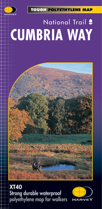
  • Wandelkaart Cumbria Way | Harvey Maps
  • Cumbria Way, a 112km / 70 mile route liking Ulverston and Carlisle across the heart of the Lake District, presented at 1:40,000 on a light, waterproof and tear-resistant map from Harvey Map Services. The route is shown on five overlapping panels, with additional street plans of Carlisle, Keswick, and Ulverston.Maps in the Harvey Read more
Stanfords
United Kingdom
  • Cumbria Way Harvey National Trail XT40
  • Cumbria Way, a 112km / 70 mile route liking Ulverston and Carlisle across the heart of the Lake District, presented at 1:40,000 on a light, waterproof and tear-resistant map from Harvey Map Services. The route is shown on five overlapping panels, with additional street plans of Carlisle, Keswick, and Ulverston.Maps in the Harvey’s series... Read more
» Click to close
The Book Depository
United Kingdom
» Click to open
De Zwerver
Netherlands
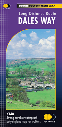
  • Wandelkaart Dales Way | Harvey Maps
  • The Dales Way, a 135km / 85 mile route in the Yorkshire Dales and the Lake District National Parks, presented at 1:40,000 on a map from Harvey Map Services. The route itself, between Ilkley and Bowness-on-Windermere, is shown on six panels, with additional three panels covering the access to the start of the Dales Way in Ilkley from Leeds,... Read more
Stanfords
United Kingdom
  • Dales Way Harvey National Trail XT40
  • The Dales Way, a 135km / 85 mile route in the Yorkshire Dales and the Lake District National Parks, presented at 1:40,000 on a map from Harvey Map Services. The route itself, between Ilkley and Bowness-on-Windermere, is shown on six panels, with additional three panels covering the access to the start of the Dales Way in Ilkley from Leeds,... Read more
» Click to close
The Book Depository
United Kingdom
» Click to open
Stanfords
United Kingdom
  • The Cumbria Way
  • The waterproof Footprint map-guide to the Cumbria Way - the 73 mile (117km) route between Ulverstone and Carlisle. It generally follows well maintained paths and tracks through some of the Lake District`s finest scenery. This Footprint map is divided into 5 sections each portrayed on a separate panel. It is marked in miles, starting in... Read more
» Click to close
De Zwerver
Netherlands
De Zwerver
Netherlands
2022
De Zwerver
Netherlands
2018
» Click to open
Stanfords
United Kingdom
2018
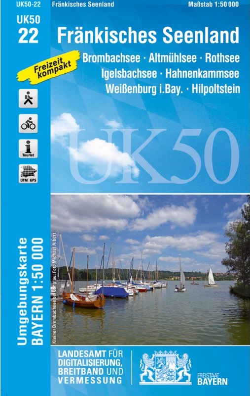
  • Franconia Lake District UK50-22
  • Franconia Lake District, map no. 50-22 covering an area around Altmühlsee, Rothsee, Bronbachsee, Ingelsbachsee, Hahnenkamm and Dennenloher See, in a series of special contoured and GP-compatible recreational maps from the Bavarian state survey organization, with cartography of the German topographic survey at 1:50,000 and extensive additional... Read more
» Click to close
De Zwerver
Netherlands
De Zwerver
Netherlands
2015
» Click to open
Stanfords
United Kingdom
2015
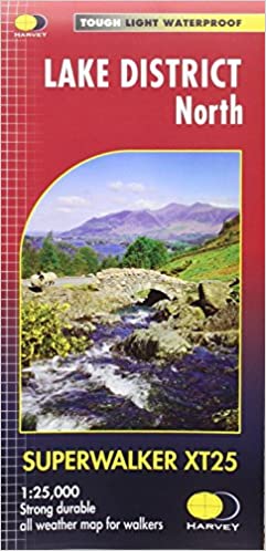
  • Lake District North Harvey Superwalker XT25
  • The northern part of the Lake District at 1:25,000 on a light, waterproof and tear-resistant map from Harvey Map Services in their Superwalker series. Coverage includes Cockermouth, Keswick, Buttermere, Bassenthwaite Lake, Derwentwater, Thirlmere, Ennerdale Water, Crummock Water, the peak of Skiddaw, etc, and extends south just beyond Ennerdale... Read more
» Click to close
De Zwerver
Netherlands