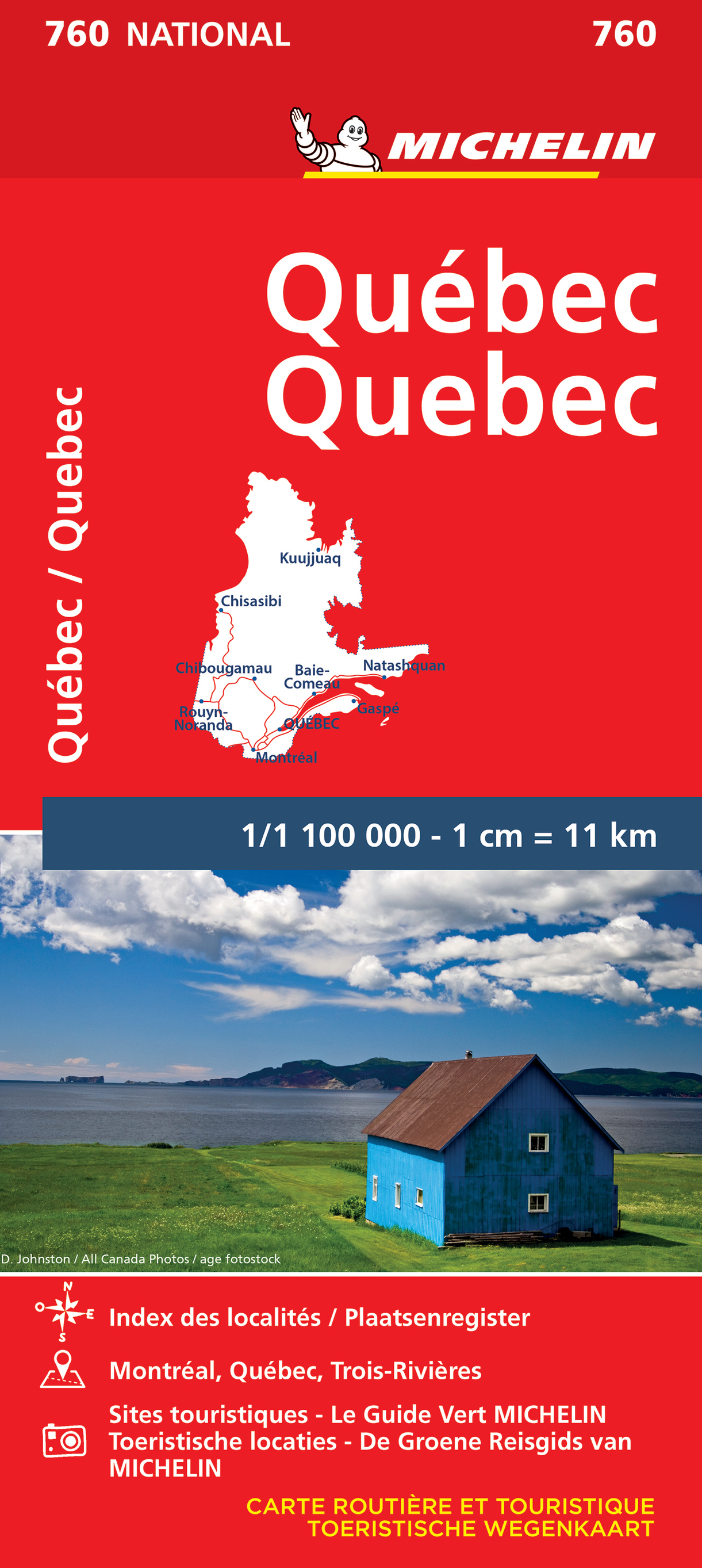
De Zwerver
Netherlands
De Zwerver
Netherlands
De Zwerver
Netherlands

De Zwerver
Netherlands
De Zwerver
Netherlands
De Zwerver
Netherlands

Stanfords
United Kingdom
- Manning Park - Skagit River ITMB
- Manning Park - Skagit River at 1:50,000 in a series of topographic survey maps of selected areas of British Columbia and the Canadian Rockies from ITMB with cartography from Canada’s national survey organization. Most sheets are printed on light, waterproof and tear- resistant plastic paper.Whilst the Canadian Department of Natural Resources... Read more

Stanfords
United Kingdom
- Atlantic Canada - New Brunswick - Nova Scotia - Prince Edward Island - Newfoundland
- Atlantic Provinces of Canada on an indexed road map at 1:800,000 with Newfoundland at 1:1,400,000, plus street maps of the region’s main cities, an overview route planning map, a distance table, and contact details for information on ferry services.On one side two panels present at 1:800,000 New Brunswick, Nova Scotia and Prince Edward Island,... Read more

Stanfords
United Kingdom
- Quebec City and Environs Street Atlas
- Street atlas of Quebec City and environs, including Beauport, Beaupre, Bernieres, Boischatel, Bourg-Royal, Breakeyville, Cap-Route, Cap-Sante, Charlesbourg, Charny, Chateau-Richer, Donnacona and other locations. The atlas is part of an extensive coverage of Canadian cities and towns from the country’s largest map publisher, MapArt. The mapping... Read more

Stanfords
United Kingdom

Stanfords
United Kingdom
- Quebec City FastTrack
- Montreal on an indexed, double-sided, waterproof and tear-resistant FastTrack map presenting the city’s central districts at 1:26,000, with an enlargement showing in greater detail Montreal’s downtown area at 1:15,000, plus a road map of the surrounding district at 1:250,000.Street plans from the MapArt / Canadian Cartographics Corporation /... Read more

Stanfords
United Kingdom
- Quebec Province Pocket Road Atlas
- Pocket road atlas of the Quebec province presenting its southern part at 1:700,000 with the St. Lawrence area between Montreal / Laval and Quebec City also covered at 1:500,000, plus more detailed urban maps for Ottawa-Hull-Gatineau, Montreal, Quebec City, and Sherbrooke.Road network indicates loose surface and unimproved roads, showing driving... Read more

Stanfords
United Kingdom
- Quebec MapArt Street Plan
- Québec City at 1:25,000 on a double-sided, indexed street plan with an enlargement showing the city centre in greater detail at 1:15,000. Coverage includes Boischatel, Lac-Beauport, L`Ancienne-Loretteville, Lévis and Saint-Augustin-de-Desmaures.Street plans from the MapArt / Canadian Cartographics Corporation / JDM Géo publishing group are... Read more