The Book Depository
United Kingdom
United Kingdom
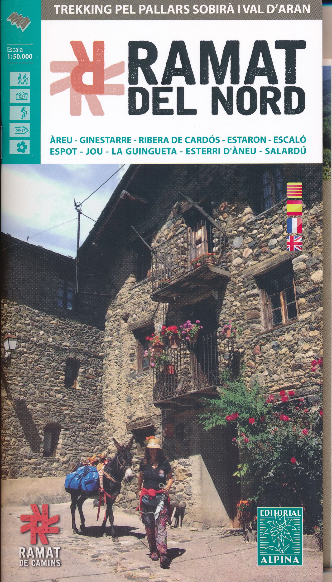
- Ramat del Nord trekking map & guide
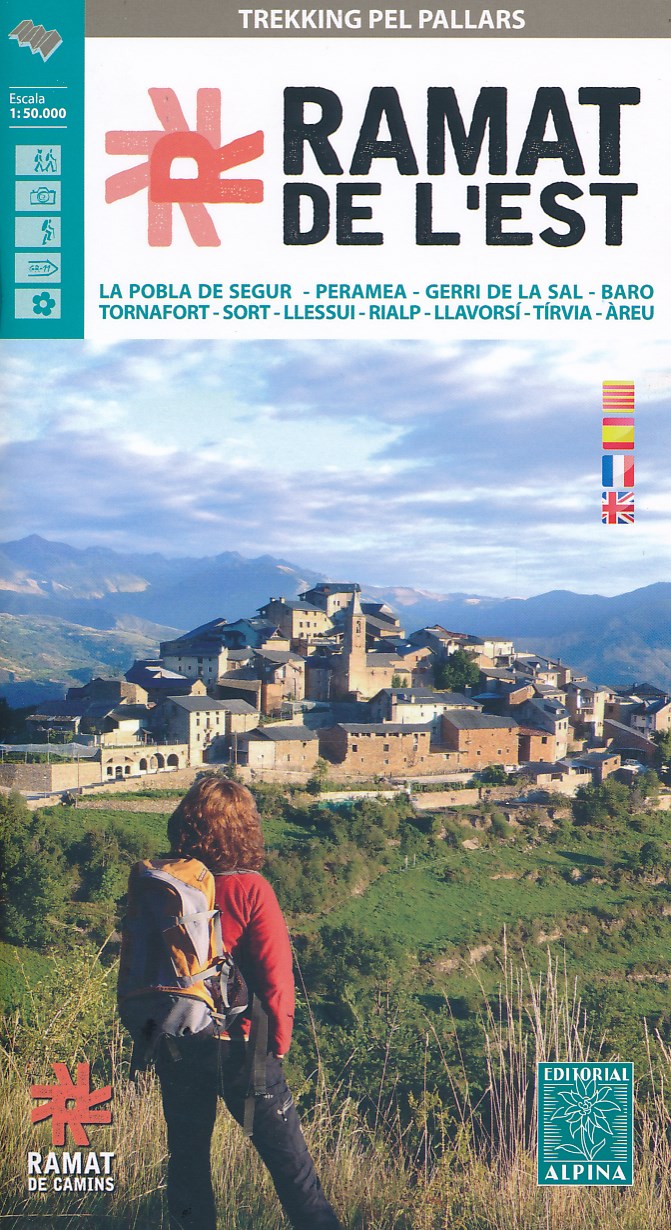
- Trekking through the Pallars following in the footsteps of Camilo Jose Cela and Josep M. Espinas. This Editorial Alpina map and guide at 1:50,000 scale is in English, French, Spanish and Catalan.Covers: La Pobla de Segur, Peramea, Gerri de la Sal, Baro, Tornafort, Sort, Llessui, Rialp, Llavorsi, Tirvia, Areu. Read more
- Also available from:
- De Zwerver, Netherlands
- Stanfords, United Kingdom
De Zwerver
Netherlands
Netherlands
- Wandelkaart Ramat del Nord | Editorial Alpina
- Trekking through the Pallars following in the footsteps of Camilo Jose Cela and Josep M. Espinas. This Editorial Alpina map and guide at 1:50,000 scale is in English, French, Spanish and Catalan.Covers: La Pobla de Segur, Peramea, Gerri de la Sal, Baro, Tornafort, Sort, Llessui, Rialp, Llavorsi, Tirvia, Areu. Read more

Stanfords
United Kingdom
United Kingdom
- Ramat del Nord Editorial Alpina
- Trekking through the Pallars following in the footsteps of Camilo Jose Cela and Josep M. Espinas. This Editorial Alpina map and guide at 1:50,000 scale is in English, French, Spanish and Catalan.Covers: La Pobla de Segur, Peramea, Gerri de la Sal, Baro, Tornafort, Sort, Llessui, Rialp, Llavorsi, Tirvia, Areu. Read more