De Zwerver
Netherlands
De Zwerver
Netherlands
De Zwerver
Netherlands
De Zwerver
Netherlands
» Click to open
Stanfords
United Kingdom
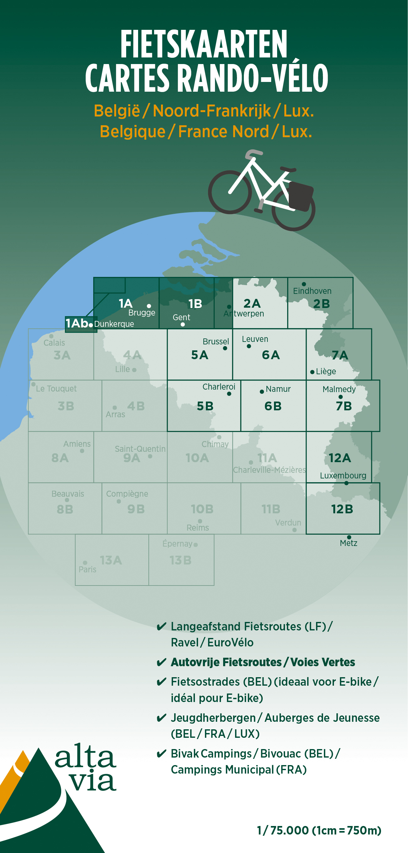
  • East and West Flanders Cycling Map 1
  • Alta Via`s topographical cycling maps emphasize car-free cycling routes or the so-called Voies Vertes (Green Routes), a cycling network that runs through Belgium and Luxembourg. All LF and Ravel cycle routes are included, supplemented with old railways and towpaths that have been transformed into bike paths. The map also lists all youth... Read more
» Click to close
De Zwerver
Netherlands
2021
De Zwerver
Netherlands
» Click to open
Stanfords
United Kingdom
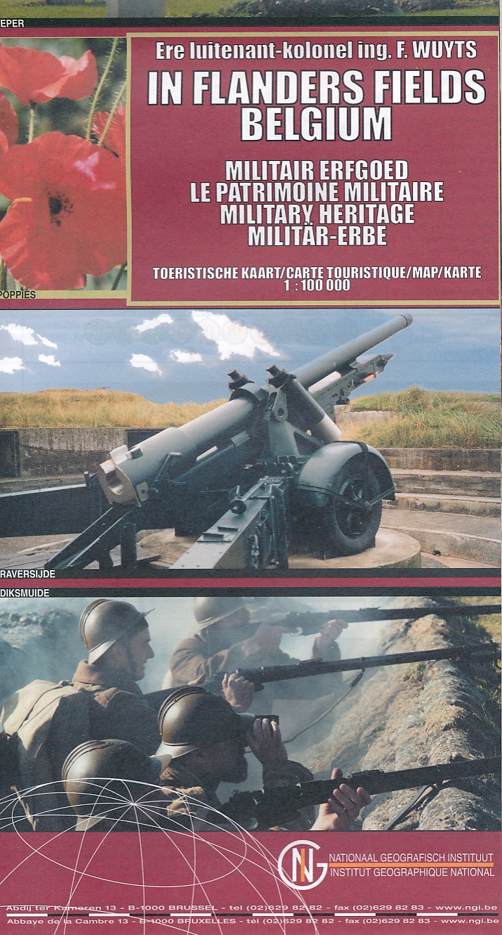
  • Belgium: In Flanders Fields
  • The Western Front in Flanders on a detailed map at 1:100,000 from the Belgian Nationaal Geografisch Instituut highlighting locations of numerous monuments, cemeteries, front lines and other WWI-related sites, listed in the accompanying panels with, where appropriate, their phone numbers. The map is double-sided but all the main WWI battlefields... Read more
» Click to close
De Zwerver
Netherlands
De Zwerver
Netherlands
» Click to open
Stanfords
United Kingdom
  • Heuvelland NGI Topo 28/5-6 - WWI Ypres Salient Battlefields
  • Heuvelland - Mesen (Messines), map No. 28/5-6 in the topographic survey of Belgium at 1:20,000 covering the World War I battlefields area between St-Elooi and Ploegsteert, including Wijtschate. Please note that areas on the French side of the border, around Bailleul and St-Jans-Cappel in the west and across the Lys in the south-eastern corner,... Read more
» Click to close
De Zwerver
Netherlands
De Zwerver
Netherlands
» Click to open
Stanfords
United Kingdom
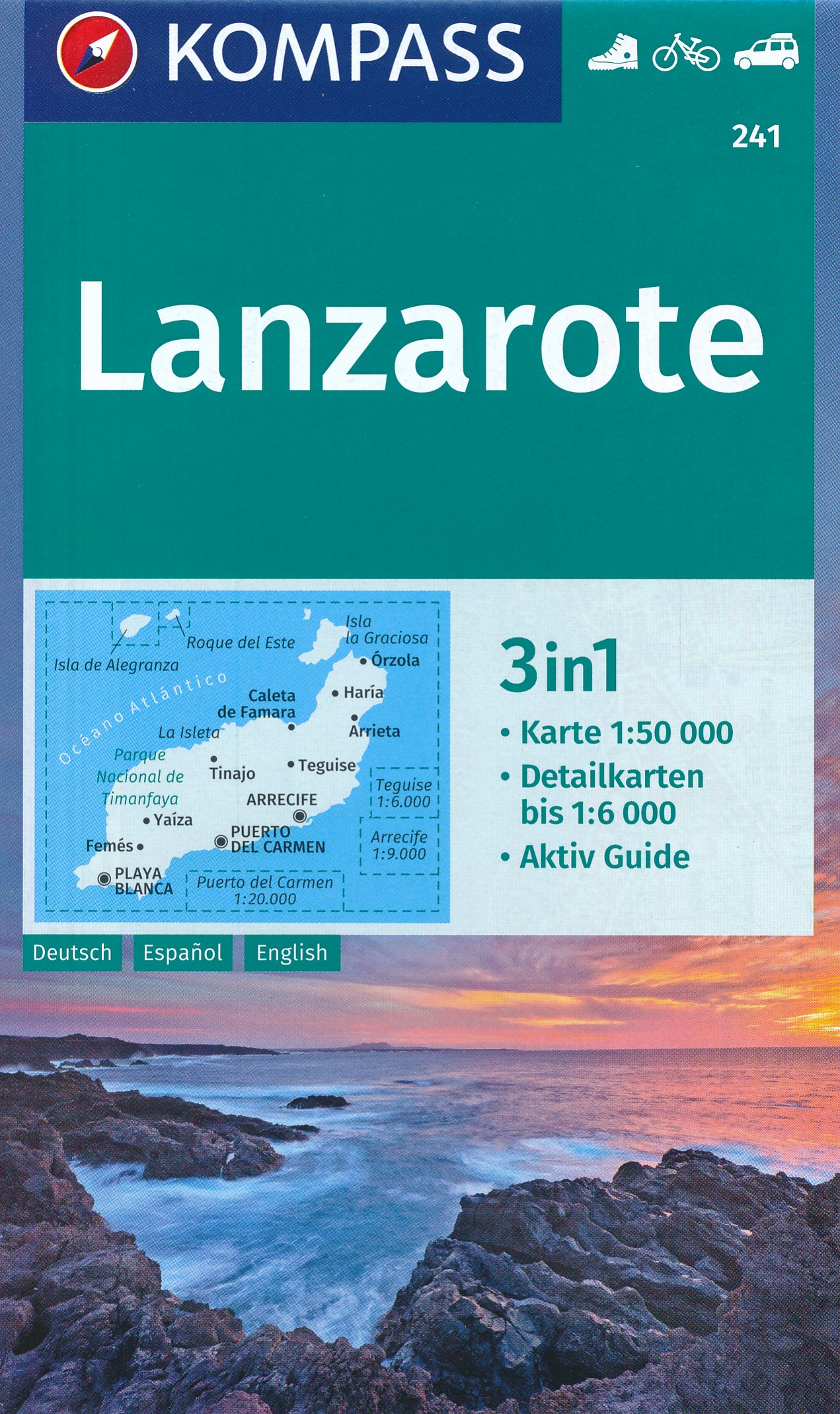
  • Lanzarote Kompass 241
  • Lanzarote at 1:50,000 on a contoured and GPS compatible map from Kompass, with extensive tourist overprint, plus street plans of Arrecife, Puerto del Carmen and Teguise. Coverage includes the nearby islands of Graciosa, Montaña Clara and Alwegranza.Topography is vividly presented by contours at 50m intervals, enhanced by relief shading plus... Read more
» Click to close
De Zwerver
Netherlands
2019
» Click to open
Stanfords
United Kingdom
2019
  • Westhoek - South-West Flanders Falkplan Cycling Map 34
  • The southern part of the West Flanders province of Belgium including the WWI battlefields around Ypres (Ieper) at 1:50,000 in a series from Falk B.V. showing the network of signposted cycling routes on large, double-sided indexed maps with prominent highlighting of long-distance LF routes, symbols indicating accommodation and other tourist... Read more
» Click to close
De Zwerver
Netherlands
Stanfords
United Kingdom
Stanfords
United Kingdom
Stanfords
United Kingdom