The Book Depository
United Kingdom
United Kingdom
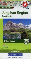
- Jungfrau Region / Grindelwald 4
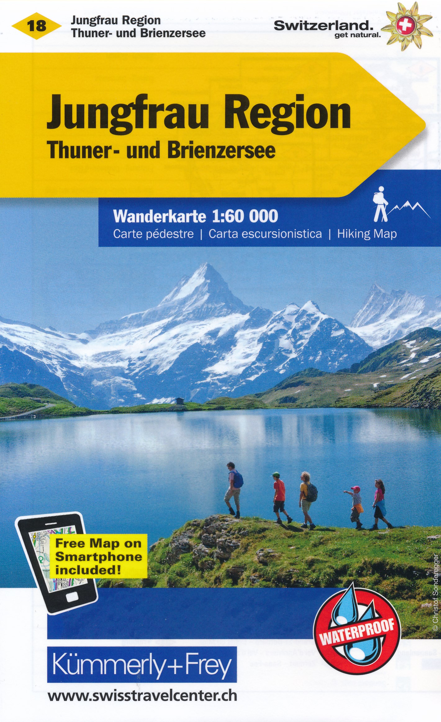
- 33 specially selected hiking trails in the Jugfrau Region of the Bernese Oberland presented at 1:50,000 on a waterproof and tear-resistant, contoured and GPS compatible map from the Hallwag/Kümmerly + Frey group, with route profiles, grading for the severity of the terrain and the degree of fitness required, etc. The map is centered on... Read more
- Also available from:
- Stanfords, United Kingdom
Stanfords
United Kingdom
United Kingdom
- Jungfrau Region - Grindelwald K+F Hiking 4
- 33 specially selected hiking trails in the Jugfrau Region of the Bernese Oberland presented at 1:50,000 on a waterproof and tear-resistant, contoured and GPS compatible map from the Hallwag/Kümmerly + Frey group, with route profiles, grading for the severity of the terrain and the degree of fitness required, etc. The map is centered on... Read more