De Zwerver
Netherlands
Netherlands
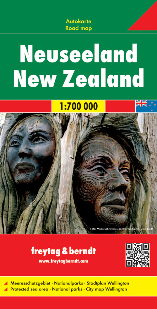
- Wegenkaart - landkaart Nieuw Zeeland - New Zealand | Freytag & Berndt
- Neuseeland 1 : 700 000 mit Stadtplan Wellington ab 10.9 EURO Meeresschutzgebiete, Nationalparks, Stadtplan Wellington Freytag & Berndt Autokarte. Nachdruck, Laufzeit bis 2019 Read more