The Book Depository
United Kingdom
» Click to open
Stanfords
United Kingdom
  • Waterford SE OSI Discovery 82
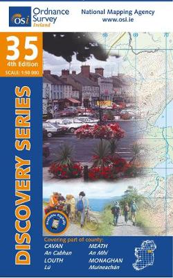
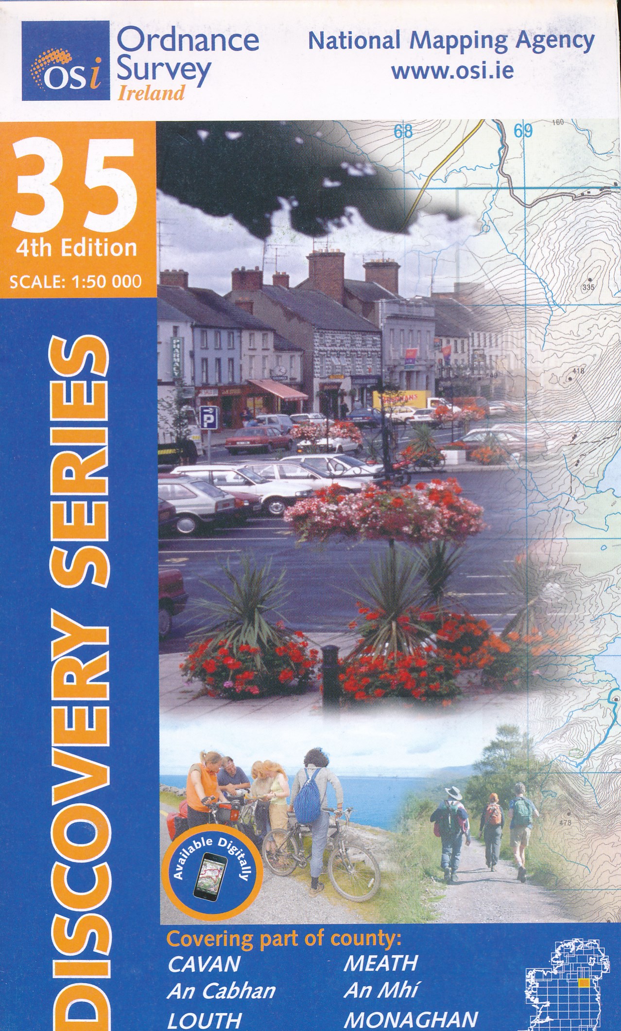
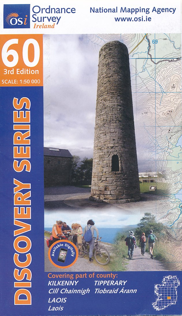
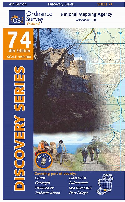
  • Map No. 82, Waterford South-East in the Discovery series from the OSI, the Ordnance Survey of Ireland, which presents the country on detailed topographic maps at 1:50,000, with additional overprint highlighting campsites and caravan parks, youth hostels, etc. Current 3rd edition of this map was published in January 2012.Maps in the Discovery... Read more
» Click to close
The Book Depository
United Kingdom
» Click to open
Stanfords
United Kingdom
  • Laois - Offaly - Tipperary OSI Discovery 54
  • Map No. 54, Laois North West in the Discovery series from the OSI, the Ordnance Survey of Ireland, which presents the country on detailed topographic maps at 1:50,000, with additional overprint highlighting campsites and caravan parks, youth hostels, etc. Current 3rd edition of this map was published in October 2011.Maps in the Discovery series... Read more
» Click to close
The Book Depository
United Kingdom
» Click to open
De Zwerver
Netherlands
Stanfords
United Kingdom
  • Cavan - Louth - Meath - Monaghan OSI Discovery 35
  • Map No. 35, Cavan East - Meath North in the Discovery series from the OSI, the Ordnance Survey of Ireland, which presents the country on detailed topographic maps at 1:50,000, with additional overprint highlighting campsites and caravan parks, youth hostels, etc. Current 3rd edition of this map was published in December 2011.Maps in the... Read more
» Click to close
The Book Depository
United Kingdom
» Click to open
De Zwerver
Netherlands
» Click to close
De Zwerver
Netherlands
» Click to open
Stanfords
United Kingdom
  • Western Rhodope Mountains Domino Map
  • Western Rhodope Mountains at 1:100,000 on a contoured GPS compatible map from Domino extending from just west of the Pirin National Park to Asenovgrad in the north-east. The map is double-sided with a good overlap between the sides. Topography is shown by contours at 50m intervals with relief shading and spot heights, plus colouring for... Read more
» Click to close
De Zwerver
Netherlands
De Zwerver
Netherlands
De Zwerver
Netherlands
De Zwerver
Netherlands
De Zwerver
Netherlands
» Click to open
Stanfords
United Kingdom
  • Stara Planina Central: Zlatitsa to Kalofer Domino Map
  • Stara Planina Central: Zlatitsa to Kalofer map at 1:50,000 from Bulgarian publishers Domino, contoured and GPS compatible, with hiking trails, accommodation options including a list of local mountain refuges, etc. The map is double-sided and covers the mountains from just west of Ribaritsa and Zlatitsa eastwards beyond Kalofer to the peak of... Read more
» Click to close
De Zwerver
Netherlands
De Zwerver
Netherlands
» Click to open
Stanfords
United Kingdom
  • Stara Planina Central: Uzana to Vratnik Domino Map
  • Stara Planina Central: Uzana to Vratnik map at 1:50,000 from Bulgarian publishers Domino, contoured and GPS compatible, with hiking trails, accommodation options including a list of local mountain refuges, etc. The map is double-sided and covers the mountains from just west of the Uzana massif, the geographical centre of Bulgaria, eastwards to... Read more
» Click to close
De Zwerver
Netherlands
De Zwerver
Netherlands
De Zwerver
Netherlands