Zeer gedetailleerde topografische kaart met een aantal toegevoegde toeristische symbolen voor bijv. bezienswaardigheden, campings en jeugdherbergen. Met hoogtelijnen, mooi kleurgebruik en ingetekende lange-afstands-wandelroutes. Op deze kaart zijn de nationale parken en de 'national reserves ' uitstekend te vinden. De kaart is dus zowel voor de...Read more
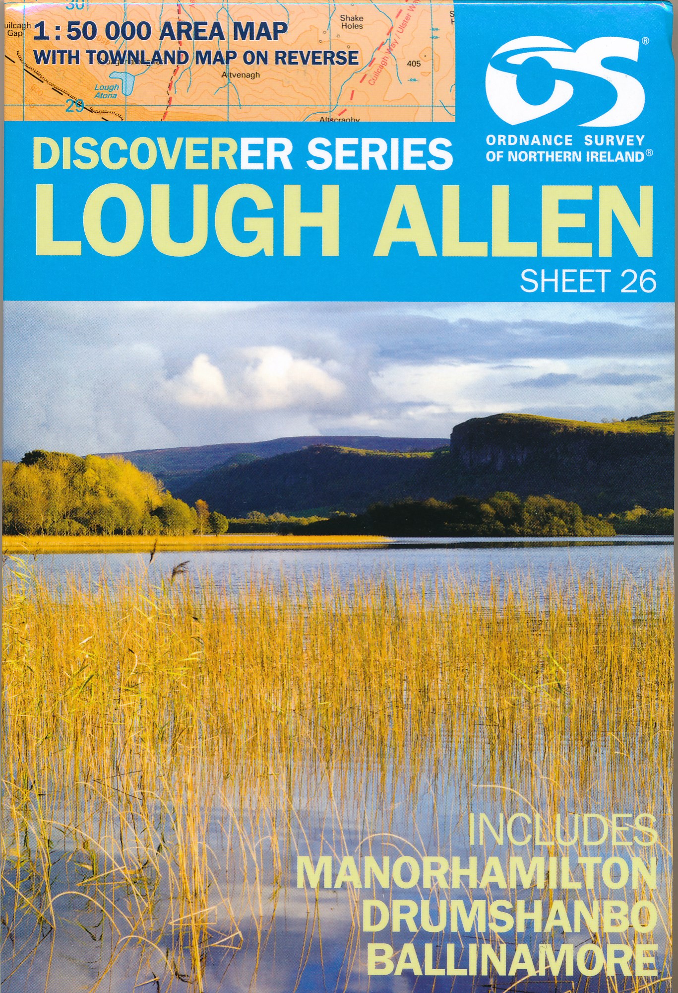
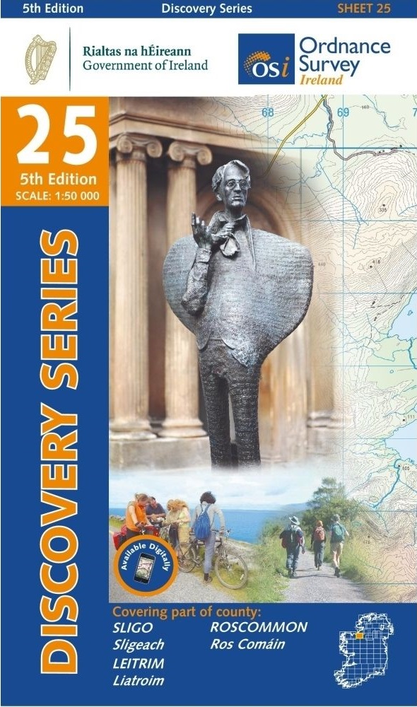
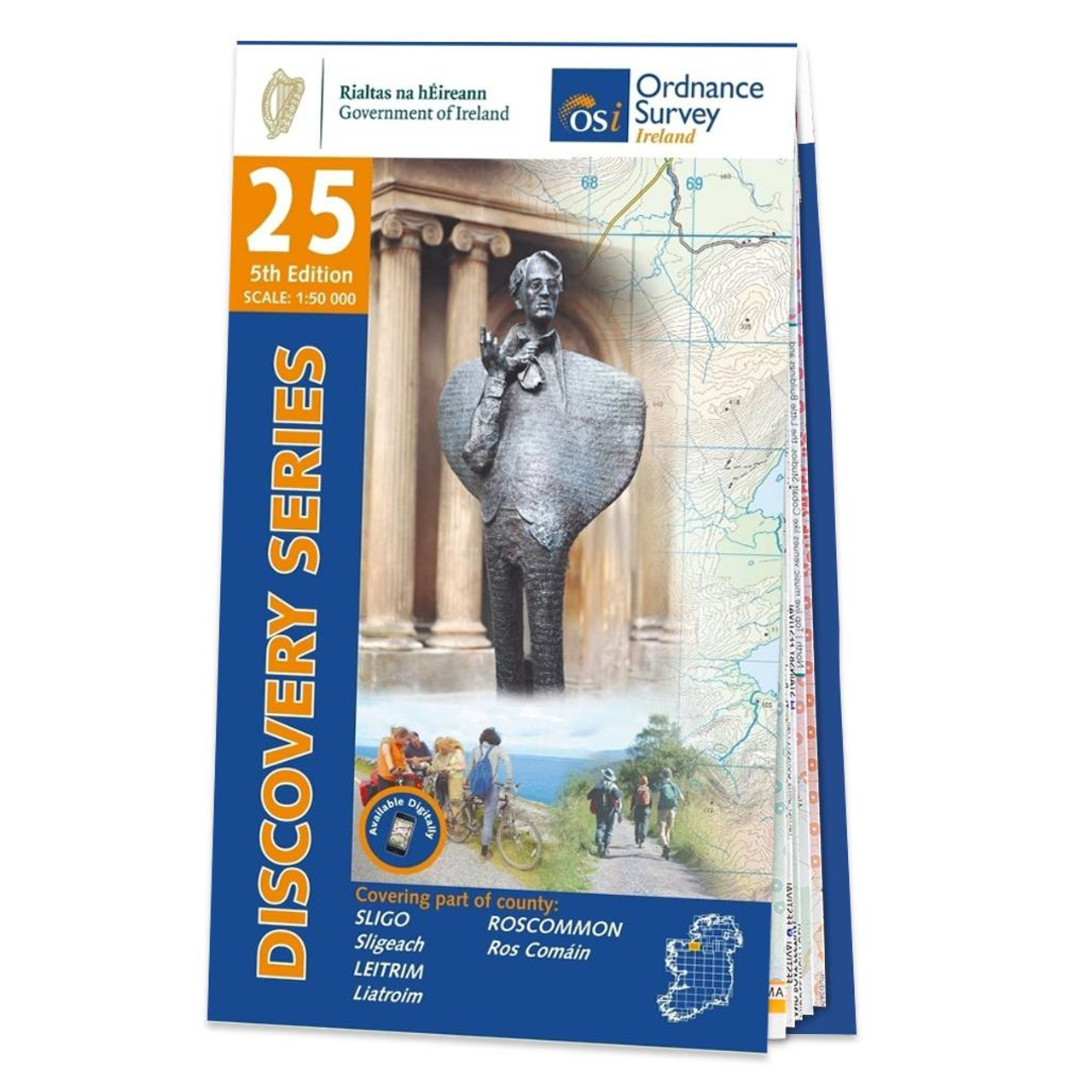
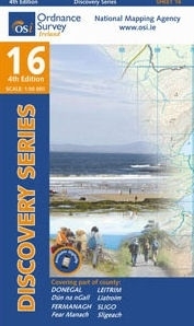
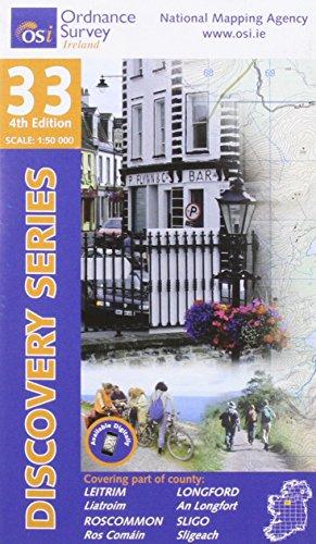
Map No. 25, Sligo Central in the Discovery series from the OSI, the Ordnance Survey of Ireland, which presents the country on detailed topographic maps at 1:50,000, with additional overprint highlighting campsites and caravan parks, youth hostels, etc. Current 4th edition of this title was published in September 2012.Maps in the Discovery...Read more
OSI Discovery Sheet No. 25 covers part of Counties Sligo, Roscommon and Leitrim at a 1:50 000 scale, and is designed for all sorts of leisure activities including walking, cycling and tourism. Features shown on the Discovery series include walking trails, cycle routes, forest parks and nature reserves. There is also tourist information such as...Read more