De Zwerver
Netherlands
» Click to open
Stanfords
United Kingdom
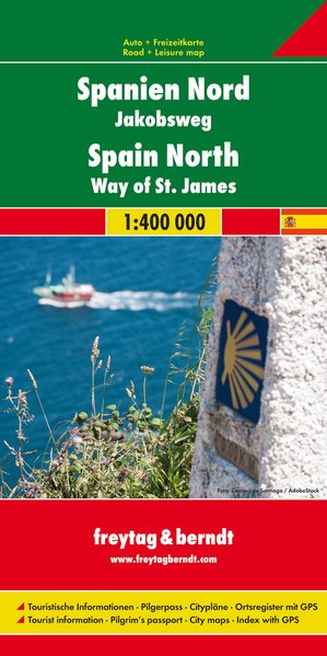
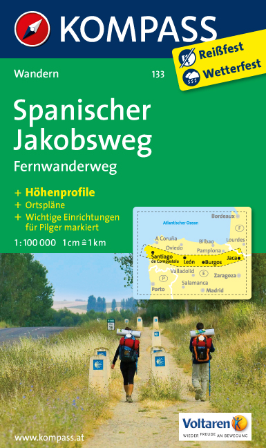
  • The Way of St. James to Compostela: Spanish Section
  • The main route of the Way of St James to Compostela across northern Spain presented at 1:100,000 on a durable, waterproof and tear-resistant map from Kompass, arranged as 26 separate strips, each with a route profile, plus additional street plans of central Logroño, Burgos, León and Santiago itself.The whole route is covered on 26 panels, each... Read more
» Click to close
De Zwerver
Netherlands
2020
De Zwerver
Netherlands
2020
De Zwerver
Netherlands
» Click to open
Stanfords
United Kingdom
» Click to close
De Zwerver
Netherlands
2021
» Click to open
Stanfords
United Kingdom
2021
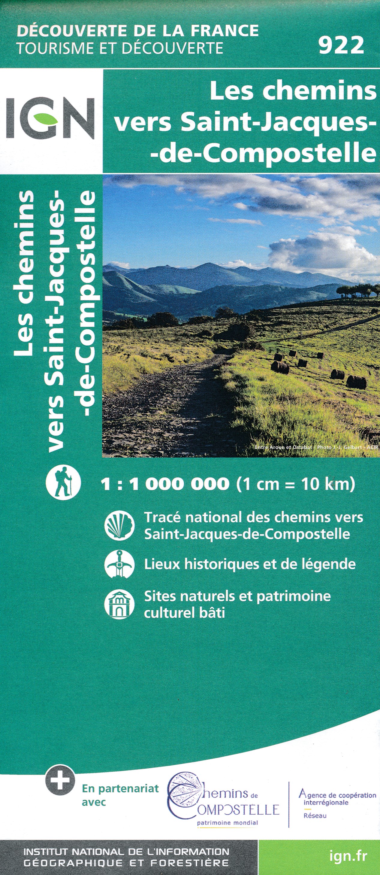
  • France - Ways of St James IGN Map 922
  • France: Ways of St James to Compostela Map from the IGN presents an overview of all the routes across France taken by pilgrims on their way to Santiago de Compostela and the tomb of the apostle St James - the greatest of all goals for thousands of pilgrims in Europe during the Middle Ages. The map was prepared by the IGN and the Association de... Read more
» Click to close
De Zwerver
Netherlands
» Click to open
Stanfords
United Kingdom
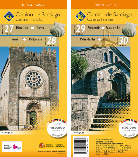
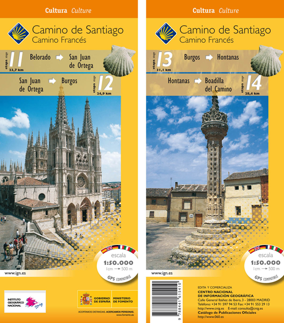
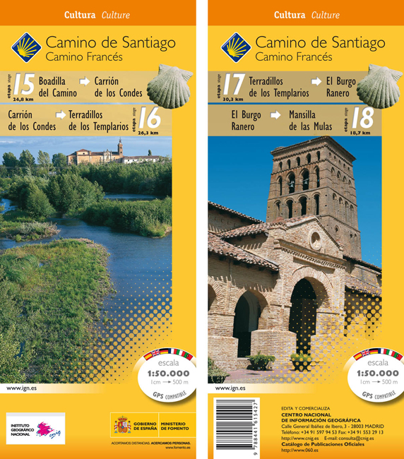
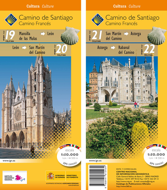
  • Camino de Santiago: Stages 27/28/29/30, Triacastela/Arzúa 50K CNIG Map
  • Camino de Santiago: Camino de Santiago: Stages 27/28/29/30, Triacastela/Arzúa, in a series of double-sided topographic maps at 1:50,000 from the Spanish civilian survey organization, overprinted with the route and sights, plus information of accommodation and other facilities, route profiles, etc.Each 1:50,000 map is double-sided and has four... Read more
» Click to close
De Zwerver
Netherlands
» Click to open
Stanfords
United Kingdom
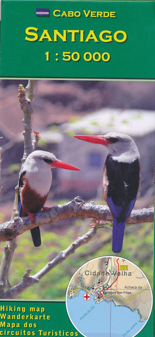
  • Santiago AB Kartenverlag Hiking Map
  • Santiago Island in the Cape Verde archipelago on a detailed, GPS compatible map at 1:50,000 from AB Kartenverlag, highlighting 33 hiking and mountain bike routes and including small plans of Praia, Tarrafal and Cidade Velha. The map is double-sided with a very generous overlap between the sides. Contours with relief shading and spot heights... Read more
» Click to close
De Zwerver
Netherlands
» Click to open
Stanfords
United Kingdom
» Click to close
De Zwerver
Netherlands
» Click to open
Stanfords
United Kingdom
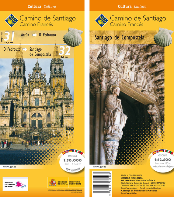
  • Camino de Santiago: Stages 31/32, Arzúa/Santiago de Compostela 50K CNIG Map
  • The Way of St James: the two last stages, 31 and 32, from Arzúa to Santiago de Compostela, plus a street plan of Santiago de Compostela in a series of double-sided topographic maps at 1:50,000 from the Spanish civilian survey organization, overprinted with the route and sights, plus information of accommodation and other facilities, route... Read more
» Click to close
De Zwerver
Netherlands
De Zwerver
Netherlands
» Click to open
Stanfords
United Kingdom
» Click to close
De Zwerver
Netherlands
» Click to open
Stanfords
United Kingdom
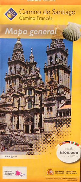
  • Way of St James / Camino de Santiago CNIG Overview Map
  • Northern Spain on an overview map at 1:500,000 highlighting the course of the Camino Francés route of the Way of St James from the Pyrenees to Santiago de Compostela via Burgos and León. Published by Spain’s civilian survey organization as part of their set providing topographic coverage of the route at 1:50,000, the map is also available... Read more
» Click to close
De Zwerver
Netherlands
De Zwerver
Netherlands
De Zwerver
Netherlands
» Click to open
Stanfords
United Kingdom
» Click to close