The Book Depository
United Kingdom
- Also available from:
- De Zwerver, Netherlands
- Bol.com, Netherlands
- Bol.com, Belgium
» Click to open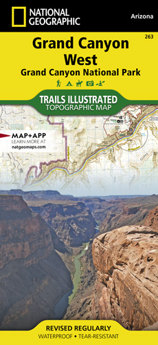
De Zwerver
Netherlands
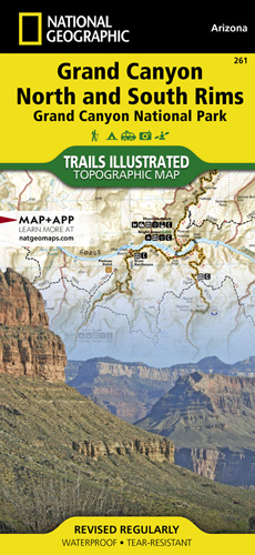
- Wandelkaart - Topografische kaart 263 Grand Canyon West | National Geographic
- Prachtige geplastificeerde kaart van het nationaal park. Met alle recreatieve voorzieningen als campsites, maar ook met topografische details en wandelroutes ed. Door uitgekiend kleurgebruik zeer prettig in gebruik. Scheur en watervast! These Trail maps give outdoor enthusiasts & explorers the kind of details, accuracy, functionality, ease of... Read more
Bol.com
Netherlands
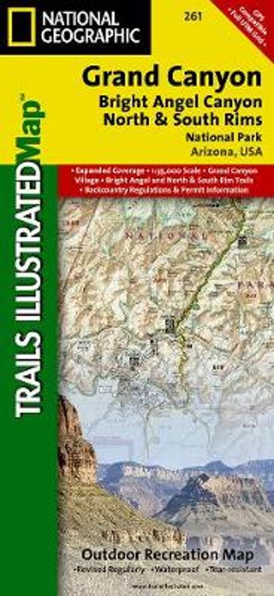
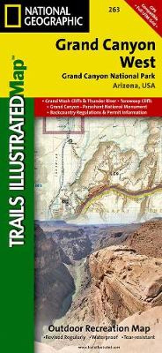
- Grand Canyon West
- Waterproof Tear-Resistant Topographic MapGrand Canyon West (#263) and Grand Canyon East (#262) combine to cover the entire Grand Canyon National Park and its bordering public lands. Both maps contain detailed and easy-to-read trail and road networks, locations of facilities, points of interest, and highly accurate terrain with thousands... Read more
Bol.com
Belgium
- Grand Canyon West
- Waterproof Tear-Resistant Topographic MapGrand Canyon West (#263) and Grand Canyon East (#262) combine to cover the entire Grand Canyon National Park and its bordering public lands. Both maps contain detailed and easy-to-read trail and road networks, locations of facilities, points of interest, and highly accurate terrain with thousands... Read more