De Zwerver
Netherlands
De Zwerver
Netherlands
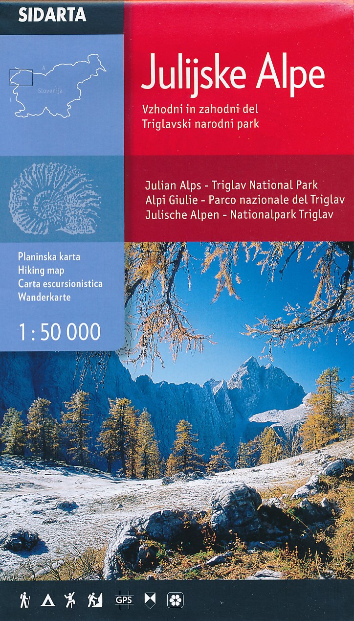
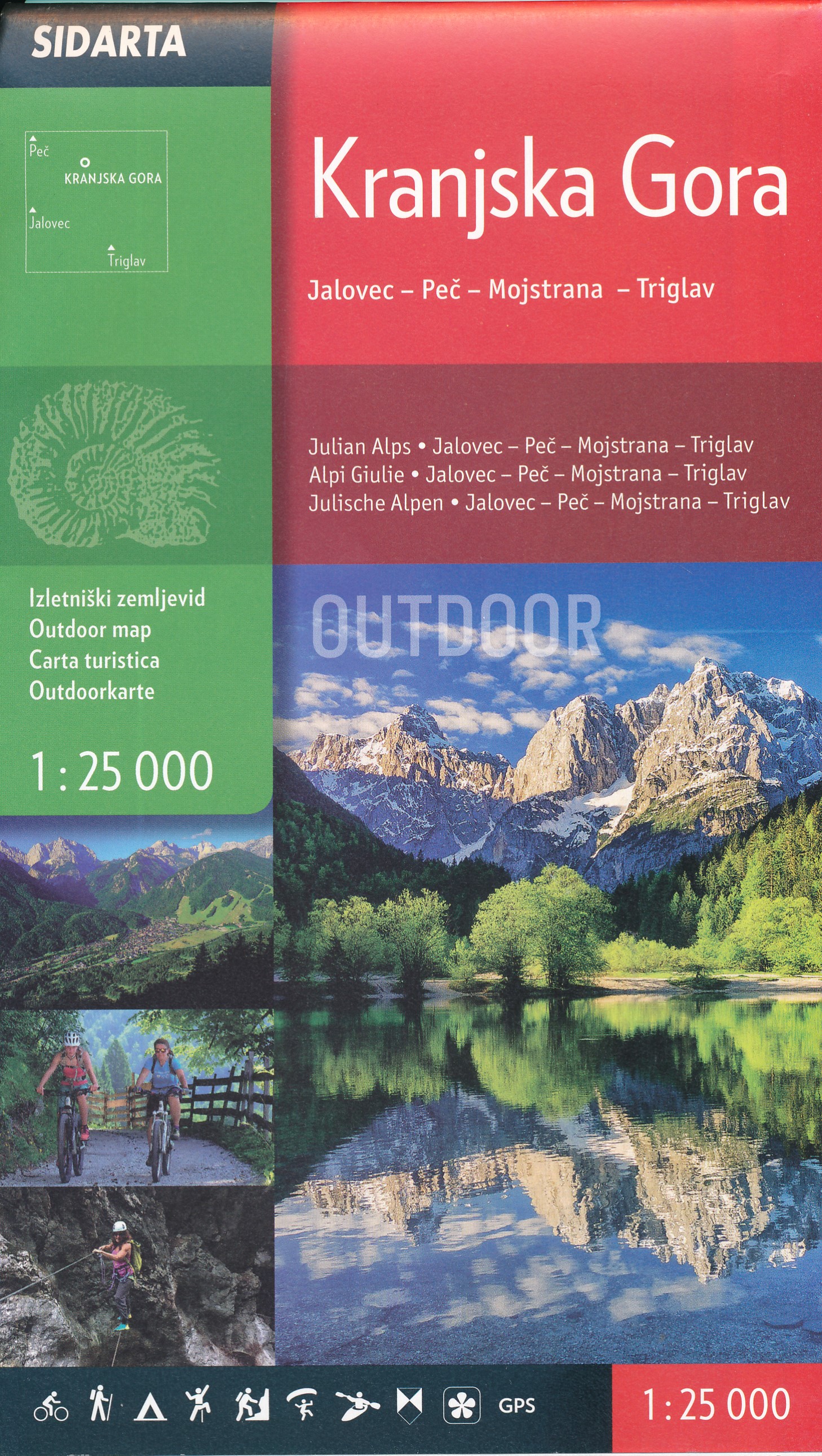
- Wandelkaart Julische Alpen - Triglav National Park | Sidarta
- Dit is de overzichtskaart 50.000 van de Julische Alpen, er zijn daarnaast van uitgever Sidarta nog 3 hele goede deelkaarten 25.000 van dit gebied. Deze dubbelzijdige detailkaart (1:50.000) heeft ingetekende wandelroutes waarbij met verschillende kleuren de moeilijkheidsgraad wordt aangegeven, een aanduiding van de berghutten (met op de... Read more
De Zwerver
Netherlands
De Zwerver
Netherlands
De Zwerver
Netherlands
De Zwerver
Netherlands
De Zwerver
Netherlands
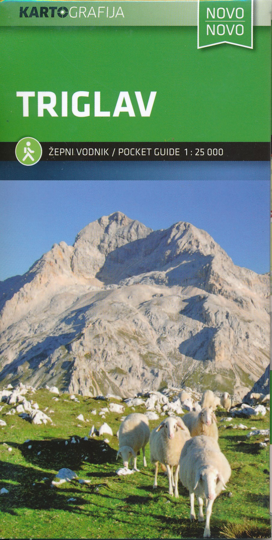
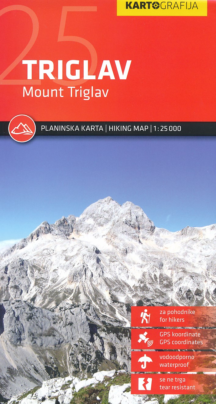
- Wandelkaart Triglav | Kartografija
- Uitstekende wandel- en klimkaart van de Triglav en directe omgeving. Met ingetekende routes, alle berghutten met foto en gegevens. Mooi gedetailleerd met een schaal van 1:25.000. De ideale wandelkaart voor de heilige berg voor de Slovenen: iedereen moet er in zijn of haar leven op hebben gestaan! Gedrukt op watervast papier. Read more

Stanfords
United Kingdom
- Stol Slovenian Alpine Club 25K
- The mountain hiking map Stol - 1:25,000 covers a broader area than its predecessor Stol and Begunjšcica. The central peak, Stol, is placed in the very centre, so that the map displays all trail-heads and routes leading to its top - even on the Austrian side. The map Stol - 1:25,000 displays the area between Dovška Baba and the Pokljuka gorge in... Read more

Stanfords
United Kingdom
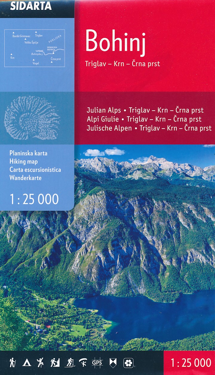
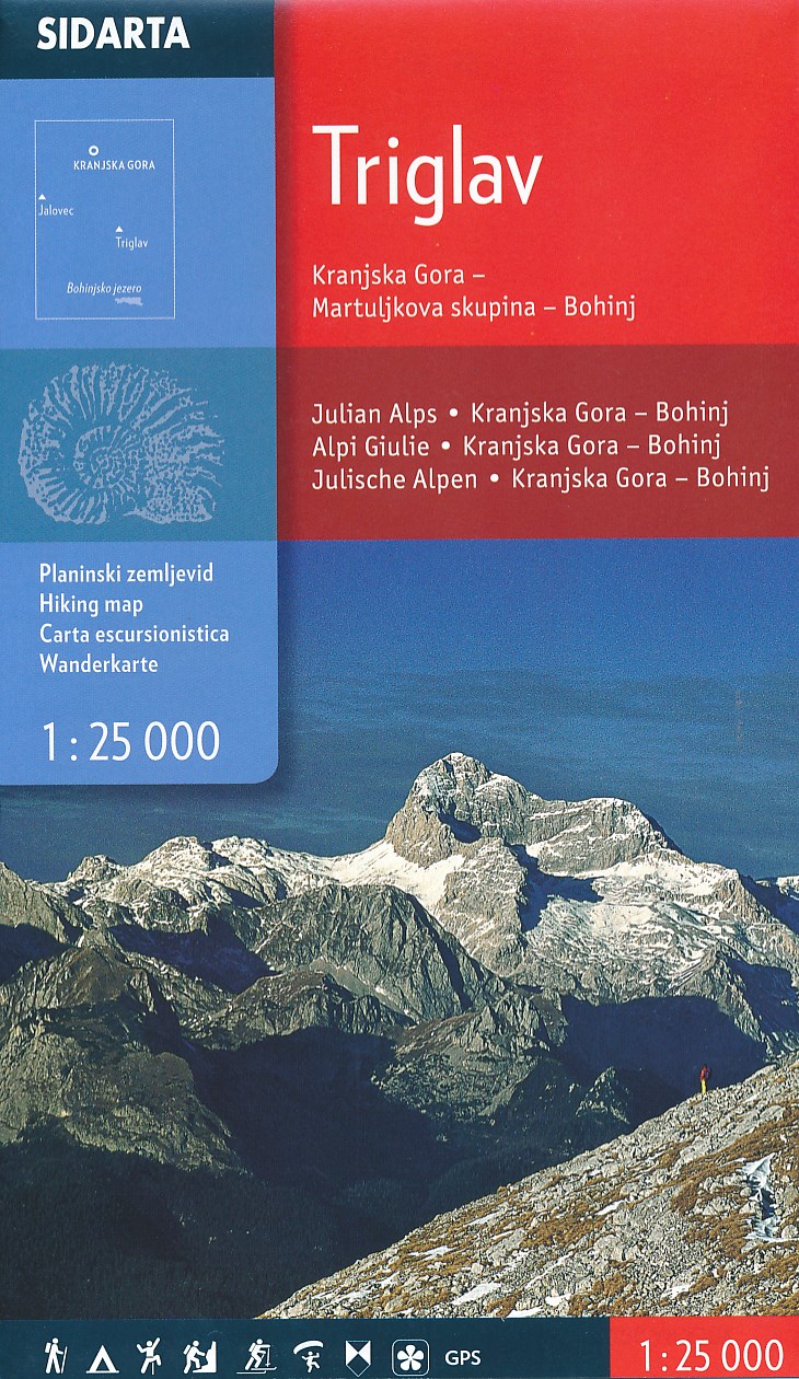
- Triglav - Kranjska Gora - Bohinj
- Triglav - Kranjska Gora - Bohinj area of the Triglav National Park in the Julian Alps at 1:25,000 on a double-sided, contoured and GPS compatible hiking map from Sidarta with details of 27 mountain huts, each annotated with main trails leading to it; also climbing areas, natural heritage sites, etc. The map is double-sided and covers the... Read more

Stanfords
United Kingdom
- Triglav Pocket Map
- The central area of the Triglav National Park around the peak of Triglav at 1:25,000 on a contoured, GPS compatible pocket map from Kartografija, with hiking trails, including brief descriptions of eight recommended routes, mountain huts, interesting natural sites, etc. Along the lower slopes a few cycling routes are also... Read more

Stanfords
United Kingdom
- Krnsko Pogorje Slovenian Alpine Club 25k Map
- The mountain hiking map Krnsko pogorje - 1:25,000 is a new map by the Alpine Association of Slovenia, which offers an even more detailed presentation of the relevant area and is more clearly labelled than its predecessor. The map was collaboratively revised by the Geodetic Institute of Slovenia, the mapping company Geodetska družba and many... Read more

Stanfords
United Kingdom
- Triglav National Park
- Triglav National Park at 1:50,000 on a contoured and GPS compatible recreational maps from Planinska zveza Slovenie - Slovenian Alpine Club, with on the reverse details of 42 alpine huts and QR codes for further information, plus lists of the areas 76 exceptional natural heritage sites and 29 cultural monuments.Maps at 1:50,000 in the Planinska... Read more

Stanfords
United Kingdom
- Šmarna Gora - Rašica Pocket Map
- Šmarna Gora - Rašica recreational area just north of Ljubljana on a handy size pocket map from Kartografija. On one side is a GPS compatible topographic map at 1:25,000 of the area between Menges and Medvode overprinted with hiking trails, cycling routes and other tourist information including hotels, campsites and mountain huts, inns,... Read more

Stanfords
United Kingdom
- Julian Alps West Kartografija Tourist Map
- The western part of Slovenia’s Julian Alps on a contoured and GPS compatible map at 1:75,000 from the Ljubljana-based Kartografija. Coverage includes the Triglav National Park, Kranjska Gora, Bovec, Bled, Jesenice, Tolmin, Škofja Loka, etc. On the reverse are bilingual English/Slovenian descriptions of the region’s best sights.Maps in this... Read more

Stanfords
United Kingdom
- Triglav Slovenian Alpine Club 25K Map
- The central part of the Triglav National Park with the peak of Triglav and Kranjska Gora on a contoured and GPS compatible map at 1:25,000 from Planinska zveza Slovenie - Slovenian Alpine Club, with on the reverse details of 22 local mountain refuges with OR codes for further information and recommended hiking trails.The map very vividly... Read more