The Book Depository
United Kingdom
» Click to open
Stanfords
United Kingdom
  • Glocknergruppe - Matrei - Kals - Heiligenblut Tabacco 076
  • This Tabacco topographic map at 1:25,000 (1cm = 250m) covers the Alta Via routes, as well as the Via Ferrata where you get further than the ordinary walker with the help of steel ladders. Additional information includes: symbols to indicate 6 different types of accommodation from mountain hut, hotel to camping site. As well as information on... Read more
» Click to close
The Book Depository
United Kingdom
2018
» Click to open
De Zwerver
Netherlands
2018
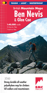
  • Wandelkaart Ben Nevis & Glen Coe | Harvey Maps
  • Waterproof mountain map of Ben Nevis & Glen Coe from Harvey at 1:40,000, with a geological map of the region on the reverse, an enlargement of Ben Nevis' summit, and advice on navigating the region safely.MAIN MAP: Topography is shown through clear altitude shading, spot heights, contours at 15m intervals, and index contours at 75m intervals. A... Read more
Stanfords
United Kingdom
2018
  • Ben Nevis & Glen Coe Harvey British Mountain Map XT40
  • Waterproof mountain map of Ben Nevis & Glen Coe from Harvey at 1:40,000, with a geological map of the region on the reverse, an enlargement of Ben Nevis` summit, and advice on navigating the region safely.*MAIN MAP:* Topography is shown through clear altitude shading, spot heights, contours at 15m intervals, and index contours at 75m intervals.... Read more
» Click to close
The Book Depository
United Kingdom
» Click to open
Stanfords
United Kingdom
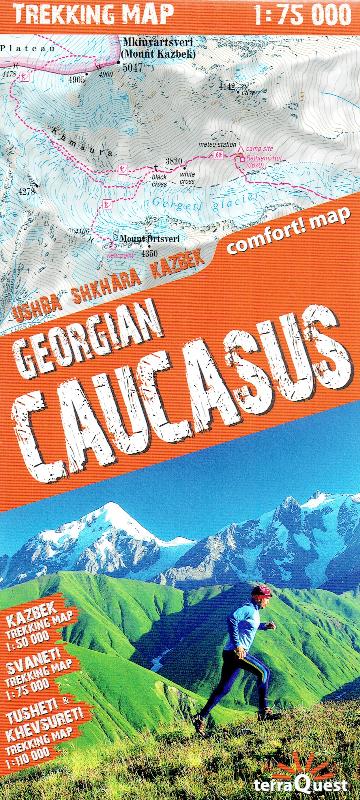
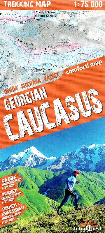
  • Georgian Caucasus - Mt Ushba - Shkhara - Kazbek terraQuest Trekking Map
  • The Caucasus Mountains in Georgia presented on a durable, waterproof and tear-resistant map from terraQuest, with two separate panels covering the central part including the peaks of Ushba and Shkhara with the Svaneti Range, plus the eastern region from Mount Kazbek to the Tusheti National Park.On one side a map at 1:75,000 presents the central... Read more
» Click to close
De Zwerver
Netherlands
2019
» Click to open
Stanfords
United Kingdom
2019
  • Iceland Road Guide
  • Iceland Road Guide from Vegahandbókin, an exceptionally comprehensive, 605-page guide with region-by-region descriptions of sites accompanied by road maps and street plans, plus a separate road atlas section covering the whole country at 1:500,000 and information on a wide variety of tourism relating topics to help the user get the best of... Read more
» Click to close
De Zwerver
Netherlands
» Click to open
Stanfords
United Kingdom
  • Khevi - Mt. Kazbegi - Gudauri - Truso Geoland 4
  • Khevi - Mt. Kazbegi - Gudauri - Truso area of the Caucasus Mountains in Georgia at 1:50,000 on a double-sided, contoured and GPS compatible map from Geoplan, with an overprint providing tourist information including local accommodation and sights. This is the PAPER edition of the map, which is also available in a waterproof and tear-resistant... Read more
» Click to close
De Zwerver
Netherlands
» Click to open
Stanfords
United Kingdom
  • Barisakho - Roshka - Juta - Asa Gorge Geoland 3
  • Barisakho - Roshka - Juta - Asa Gorge area of the Caucasus Mountains in Georgia at 1:50,000 on a double-sided, contoured and GPS compatible map from Geoplan, with an overprint providing tourist information including local accommodation and sights. This is the PAPER edition of the map, which is also available in a waterproof and tear-resistant... Read more
» Click to close
De Zwerver
Netherlands
» Click to open
Stanfords
United Kingdom
  • Ushguli - Lashkheti - Mt.Shkhara Geoland 8
  • Ushguli - Lashkheti - Mt.Shkhara area of the Caucasus Mountains in Georgia at 1:50,000 on a double-sided, contoured and GPS compatible map from Geoplan, with an overprint providing tourist information including local accommodation and sights.Maps in this series have contours at 20m intervals, with additional relief shading and numerous spot... Read more
» Click to close
De Zwerver
Netherlands
De Zwerver
Netherlands
De Zwerver
Netherlands
» Click to open
Stanfords
United Kingdom
  • Mt Ushba - Mestia Geoland 10
  • Mt Ushba - Mestia area of the Caucasus Mountains in Georgia at 1:50,000 on a double-sided, contoured and GPS compatible map from Geoplan, with an overprint providing tourist information including local accommodation and sights. This is the PAPER edition of the map, which is also available in a waterproof and tear-resistant version.Maps in this... Read more
» Click to close
De Zwerver
Netherlands
De Zwerver
Netherlands
2022
De Zwerver
Netherlands
» Click to open
Stanfords
United Kingdom
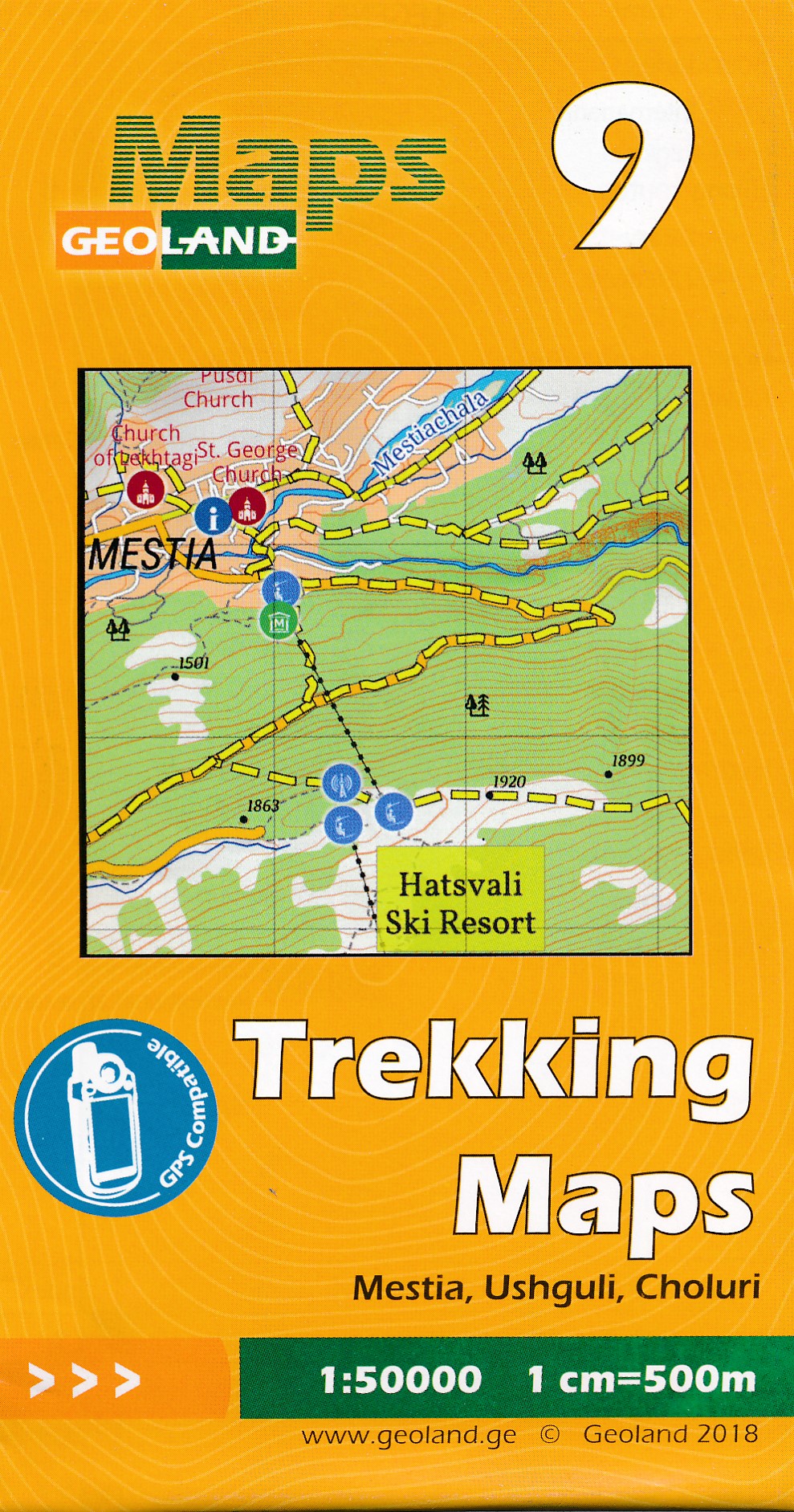
  • Mestia - Ushguli - Lashkheti Geoland 9
  • Mestia - Ushguli - Lashkheti area of the Caucasus Mountains in Georgia at 1:50,000 on a double-sided, contoured and GPS compatible map from Geoplan, with an overprint providing tourist information including local accommodation and sights. This is the PAPER edition of the map, which is also available in a waterproof and tear-resistant... Read more
» Click to close
De Zwerver
Netherlands
Stanfords
United Kingdom