The Book Depository
United Kingdom
2006
» Click to open
De Zwerver
Netherlands
2006
» Click to close
De Zwerver
Netherlands
2020
De Zwerver
Netherlands
» Click to open
Stanfords
United Kingdom
» Click to close
De Zwerver
Netherlands
2020
De Zwerver
Netherlands
2021
» Click to open
Stanfords
United Kingdom
2021
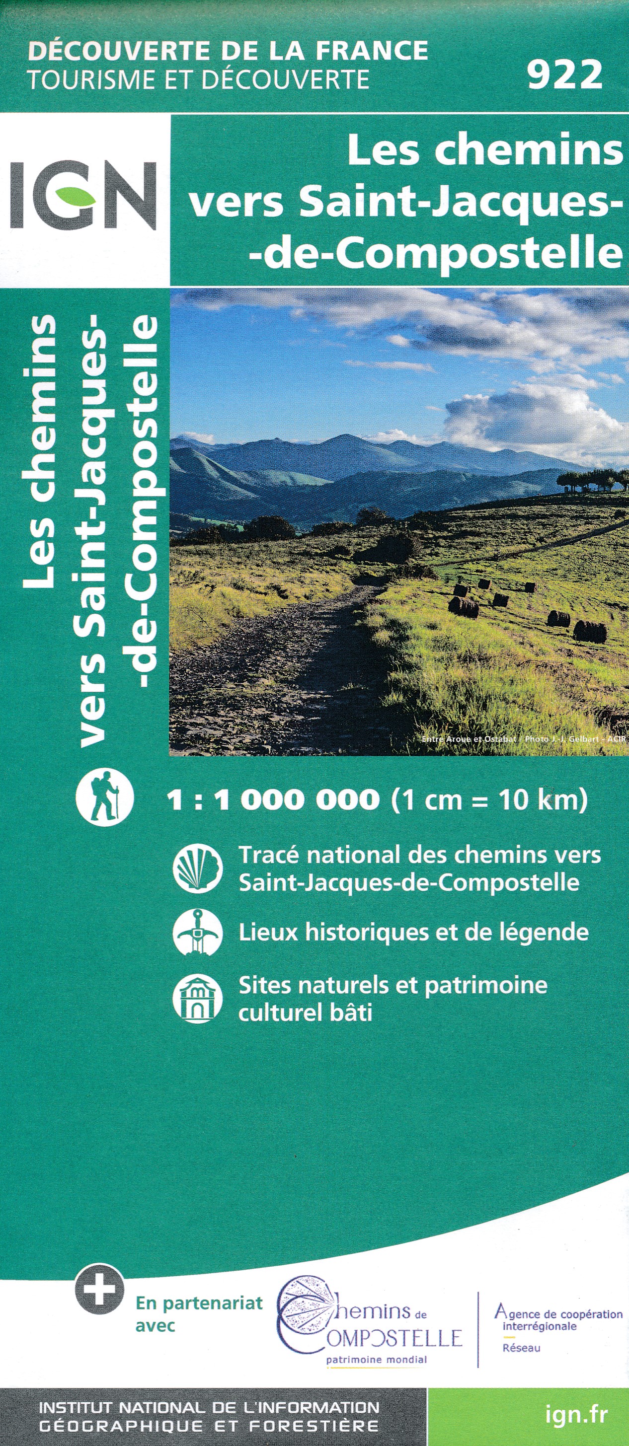
  • France - Ways of St James IGN Map 922
  • France: Ways of St James to Compostela Map from the IGN presents an overview of all the routes across France taken by pilgrims on their way to Santiago de Compostela and the tomb of the apostle St James - the greatest of all goals for thousands of pilgrims in Europe during the Middle Ages. The map was prepared by the IGN and the Association de... Read more
» Click to close
De Zwerver
Netherlands
» Click to open
Stanfords
United Kingdom
» Click to close
De Zwerver
Netherlands
» Click to open
Stanfords
United Kingdom
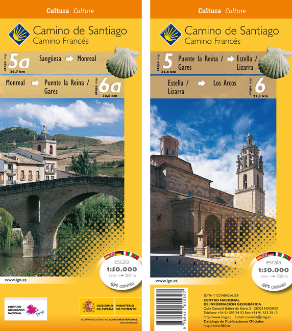
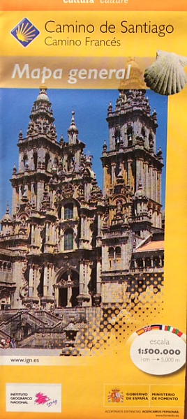
  • Way of St James / Camino de Santiago CNIG Overview Map
  • Northern Spain on an overview map at 1:500,000 highlighting the course of the Camino Francés route of the Way of St James from the Pyrenees to Santiago de Compostela via Burgos and León. Published by Spain’s civilian survey organization as part of their set providing topographic coverage of the route at 1:50,000, the map is also available... Read more
» Click to close
De Zwerver
Netherlands
» Click to open
Stanfords
United Kingdom
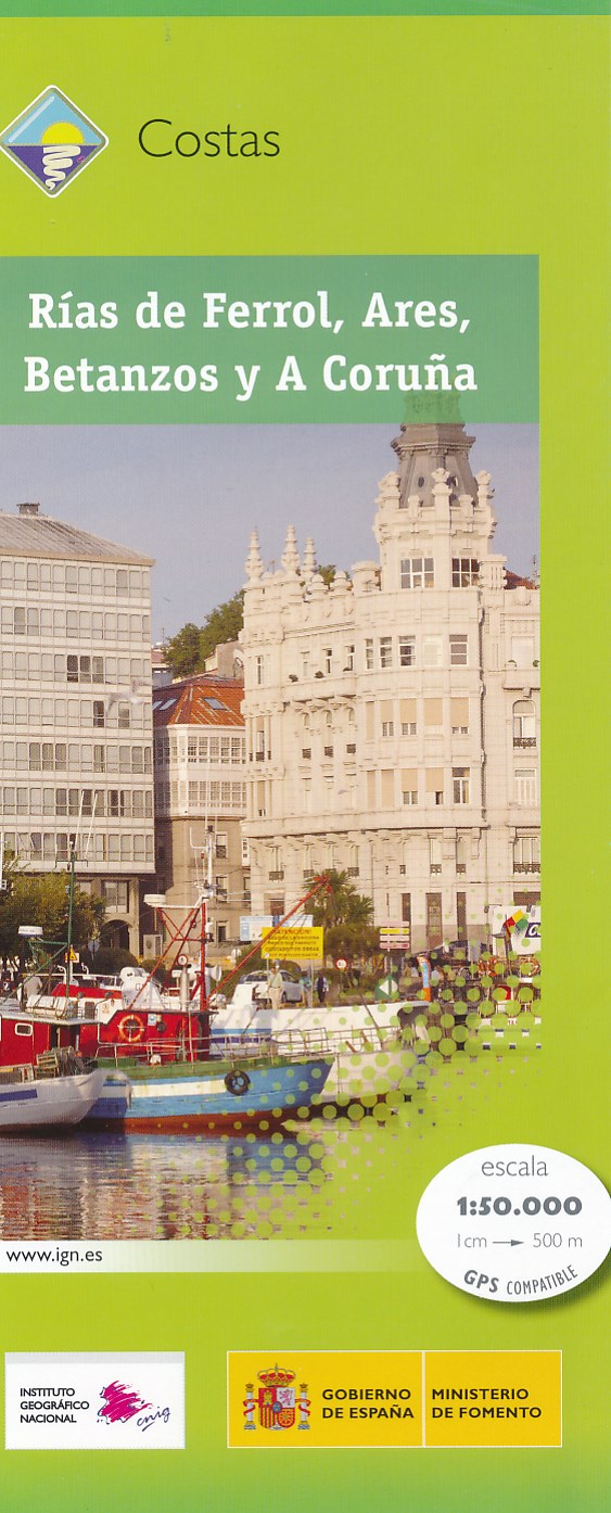
  • Rias de Ferrol - Ares - Betanzos and A Coruna CNIG Map
  • The coast of Galicia between the towns of A Coruña and Ferrol on a detailed, GPS compatible topographic map at 1:50,000 from the country’s civilian survey organization, with additional nautical information in the bays of Ferrol, Ares, Betanzos and Coruña. The map has the cartography of Spain’s civilian topographic survey at 1:50,000 with... Read more
» Click to close
De Zwerver
Netherlands
» Click to open
Stanfords
United Kingdom
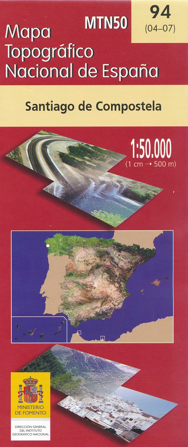
  • Santiago de Compostella CNIG Topo 94
  • Topographic coverage of mainland Spain at 1:50,000 in the MTN50 (Mapa Topográfico Nacional) series from the Centro Nacional de Información Geografica, the country’s civilian survey organization. The maps have contours at 20m intervals, enhanced by relief shading, plus colouring and/or graphics to show different types of terrain, vegetation or... Read more
» Click to close
De Zwerver
Netherlands
De Zwerver
Netherlands
2015
» Click to open
Stanfords
United Kingdom
2015
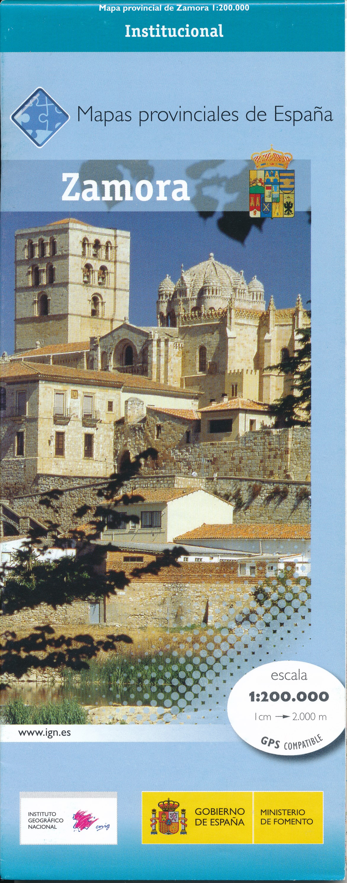
  • Zamora Province 200K CNIG Map No. 47
  • Contoured, GPS-compatible, indexed road map at 1:200,000 from CNIG - Spain’s civilian survey organization, with exceptionally informative presentation of the landscape and highlighting for facilities and places of interest including campsites and paradors.Maps in CNIG’s 200K Provincial Series provide an excellent picture the topography through... Read more
» Click to close
De Zwerver
Netherlands
» Click to open
Stanfords
United Kingdom
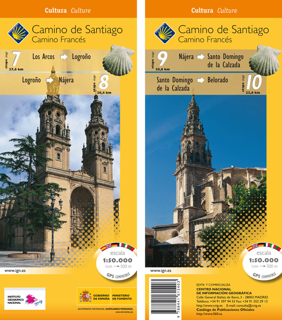
  • Camino de Santiago: Stages 7/8/9/10, Los Arcos/Belorado 50K CNIG Map
  • Camino de Santiago: Stages 7/8/9/10, Los Arcos/Belorado, in a series of double-sided topographic maps at 1:50,000 from the Spanish civilian survey organization, overprinted with the route and sights, plus information of accommodation and other facilities, route profiles, etc.Each 1:50,000 map is double-sided and has four 57 x 35cm panels with... Read more
» Click to close
De Zwerver
Netherlands
2017
De Zwerver
Netherlands
2023
De Zwerver
Netherlands
» Click to open
Stanfords
United Kingdom
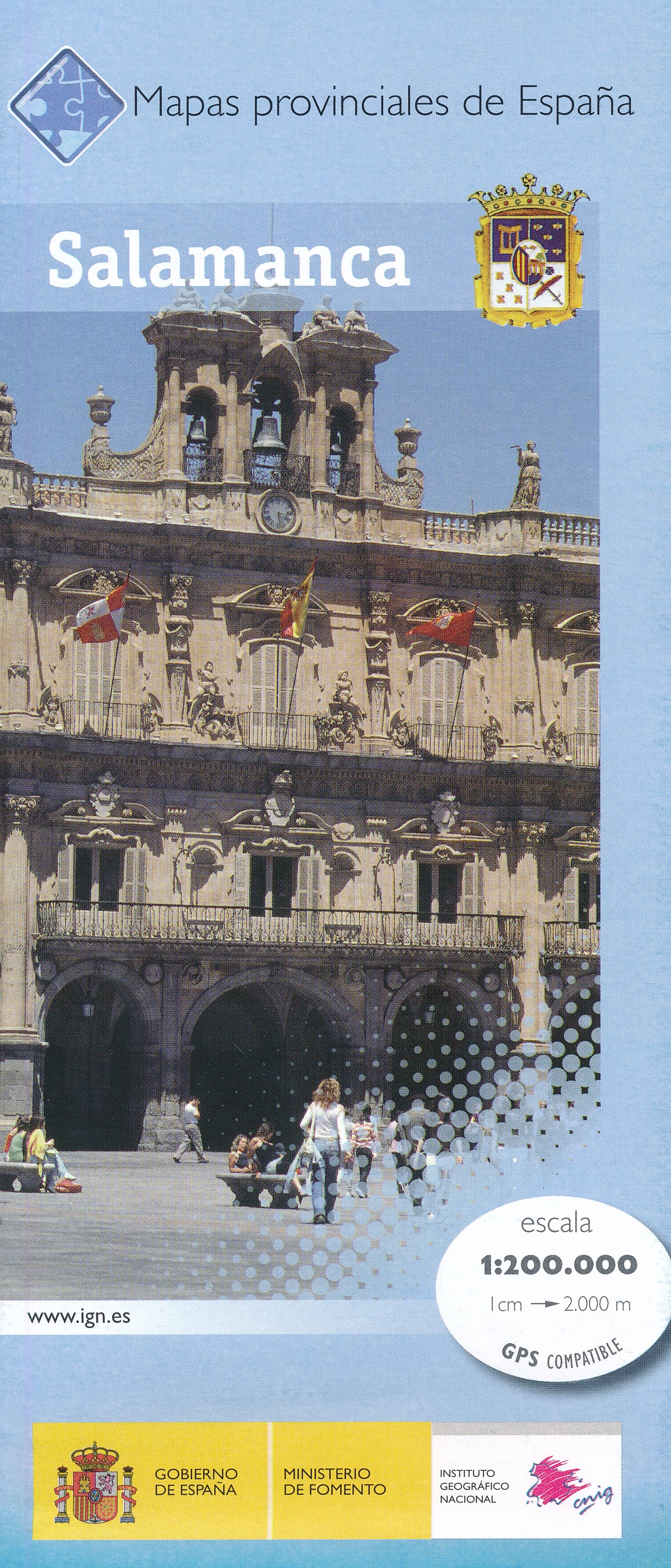
  • Salamanca Province 200K CNIG Map No. 37
  • Contoured, GPS-compatible, indexed road map at 1:200,000 from CNIG - Spain’s civilian survey organization, with exceptionally informative presentation of the landscape and highlighting for facilities and places of interest including campsites and paradors.Maps in CNIG’s 200K Provincial Series provide an excellent picture the topography through... Read more
» Click to close