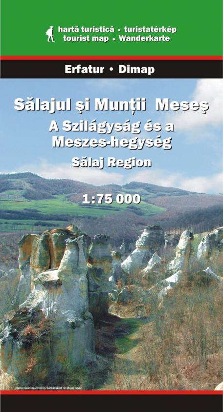
Salaj Region at 1:75,000 in a series of detailed contoured maps covering popular hiking areas of Transylvania published by Dimap, one of HungaryRead more
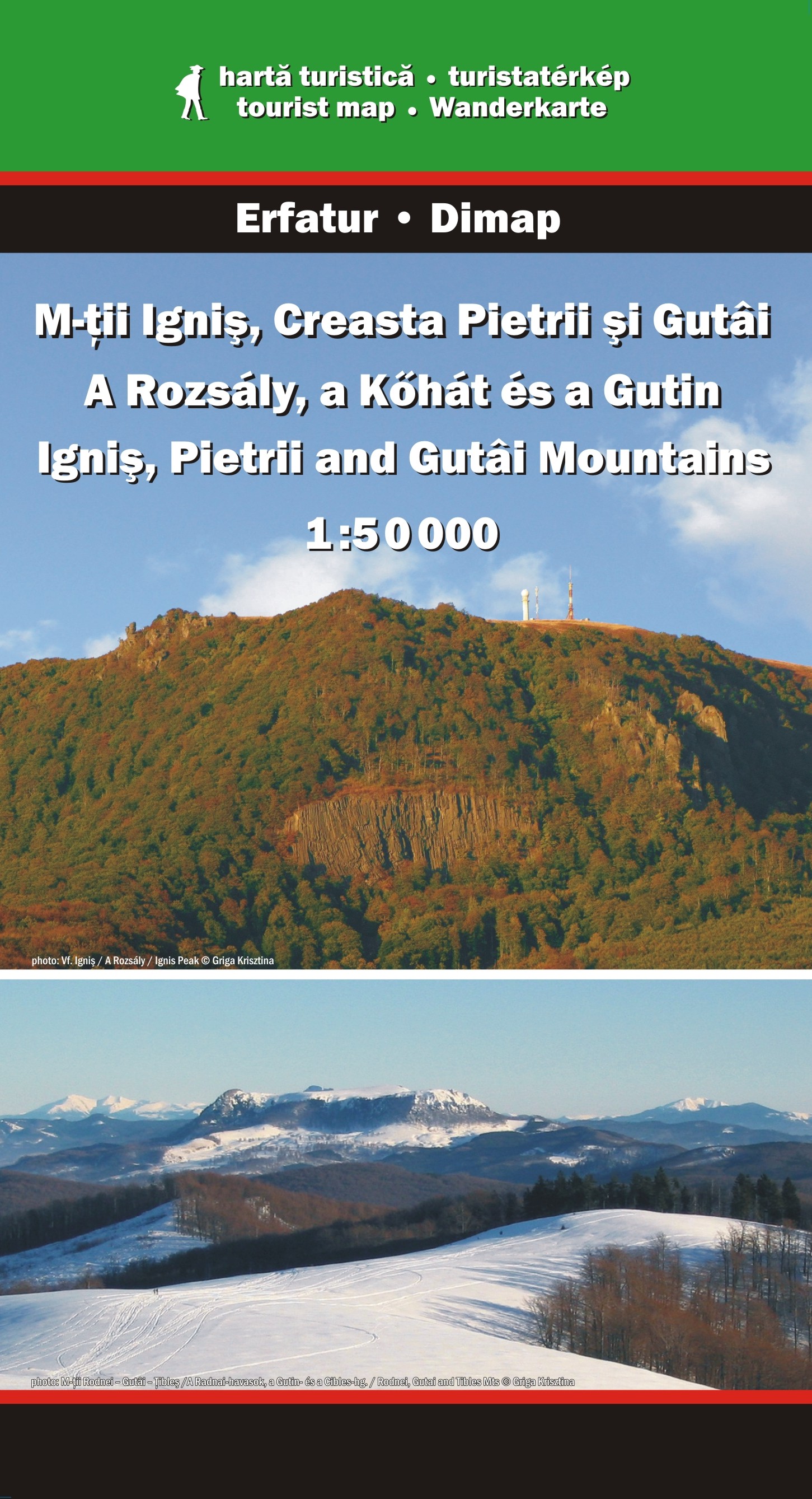
Ignis, Pietrii and Gutai Mountains in northern Transylvania at 1:50,000 in a series of detailed contoured maps covering popular hiking areas of Transylvania published by Dimap, one of HungaryRead more
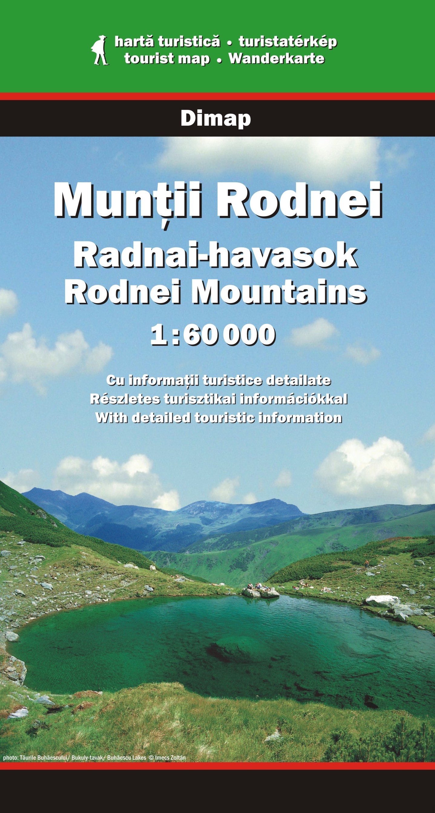
Rodnei Mountains in northern Romania presented at 1:50,000 on a map from Dimap - one of Hungary’s leading cartographic publishers specializing in mapping Transylvania, showing local hiking routes, campsites, places of interest, etc. Contours are at 50m intervals, enhanced by relief shading and colouring for forested areas. The map shows local...Read more
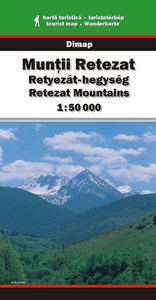
Retezat Mountains at 1:50,000 in a series of detailed contoured maps covering popular hiking areas of Transylvania published by Dimap, one of HungaryRead more
Retezat Mountains at 1:50,000 in a series of detailed contoured maps covering popular hiking areas of Transylvania published by Dimap, one of Hungary’s leading publishers specializing in mapping of that region. The maps show local hiking routes and provide tourist information such as campsites, places of interest, etc. Many titles include...Read more
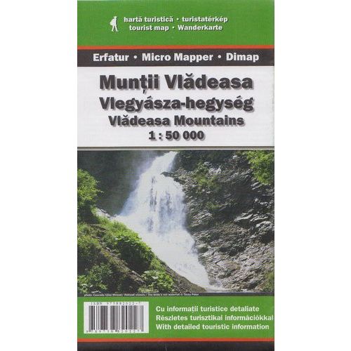
Vladeasa Mountains at 1:50,000 in a series of detailed contoured maps covering popular hiking areas of Transylvania published by Dimap, one of HungaryRead more
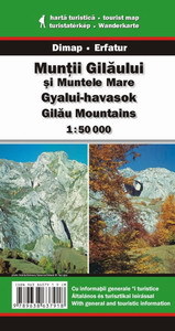
Gilau Mountains at 1:50,000 in a series of detailed contoured maps covering popular hiking areas of Transylvania published by Dimap, one of HungaryRead more
Gilau Mountains at 1:50,000 in a series of detailed contoured maps covering popular hiking areas of Transylvania published by Dimap, one of Hungary’s leading publishers specializing in mapping of that region. The maps show local hiking routes and provide tourist information such as campsites, places of interest, etc. Many titles include street...Read more
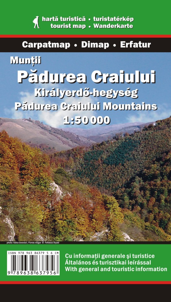
Padurea Craiuli Mountains at 1:50,000 in a series of detailed contoured maps covering popular hiking areas of Transylvania published by Dimap, one of HungaryRead more
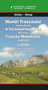
Trascau Mountains South at 1:50,000 in a series of detailed contoured maps covering popular hiking areas of Transylvania published by Dimap, one of HungaryRead more
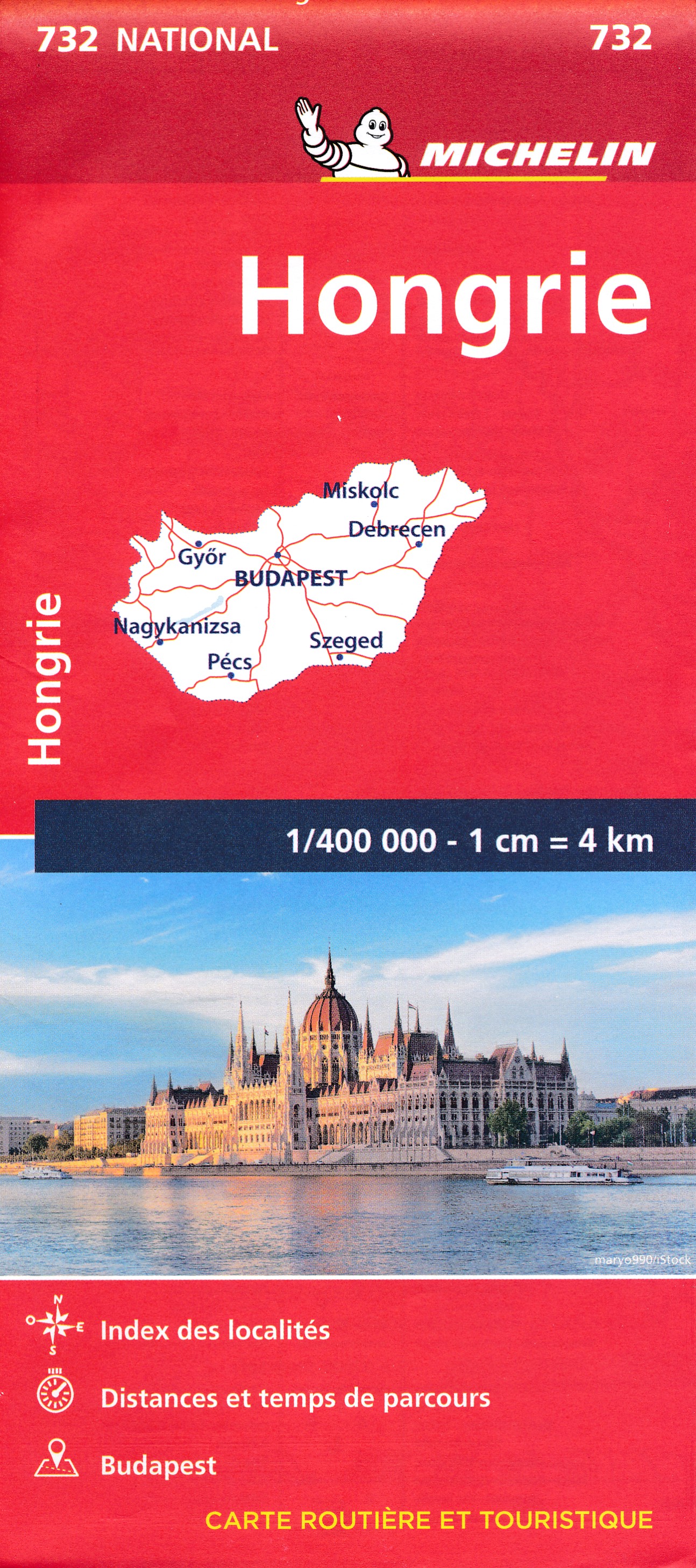
The Michelin National road map of Hungary at 1:400,000 scale is ideal for route planning. The map gives comprehensive coverage of national road networks showing all major motorways, dual carriageways, national & regional main roads and some single-lane roads. [[Also shows unsurfaced roads and tracks and major footpaths.Distances between major...Read more
Road atlas of Hungary at 1:250,000 combined with a street atlas of Budapest at 1:20,000 from Cartographia, presented in a handy glovebox size and spiral-bound format, each section with an extensive index, plus an enlargement of the Budapest region, etc.The road atlas section shows six different classes of roads, plus cart tracks and selected...Read more