De Zwerver
Netherlands

Stanfords
United Kingdom
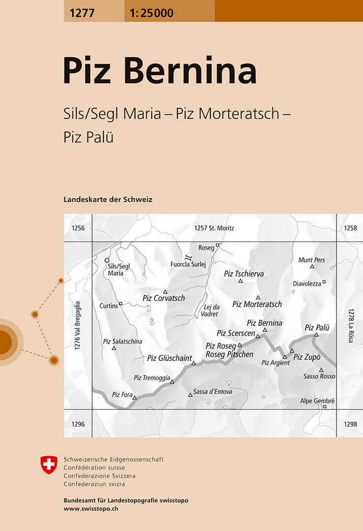
- Piz Bernina Swisstopo 1277
- Map No. 1277, Piz Bernina, in the topographic survey of Switzerland at 1:25,000 from Bundesamt für Landestopographie (swisstopo), covering the whole country on 247 small format sheets, with special larger maps published for popular regions including some titles now available in hiking versions.Highly regarded for their superb use of graphic... Read more
De Zwerver
Netherlands

Stanfords
United Kingdom
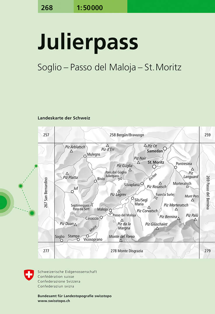
- Julierpass Swisstopo 268
- Julierpass, map No. 268, in the standard topographic survey of Switzerland at 1:50,000 from Swisstopo, i.e. without the special overprint highlighting walking trails, local bus stops, etc, presented in Swisstopo’s hiking editions of the 50K survey. Coverage includes the Upper Engadine Valley with St. Moritz and Pontresina, across the Maloja... Read more
De Zwerver
Netherlands

Stanfords
United Kingdom
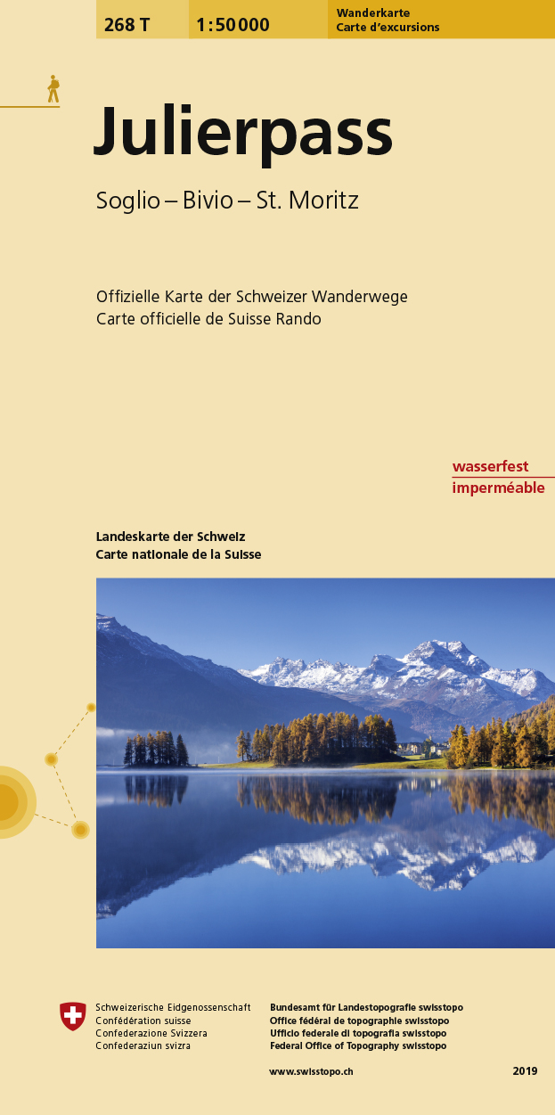
- Julierpass Swisstopo Hiking 268T
- Julierpass area, map No. 268T, at 1:50,000 in a special hiking edition of the country’s topographic survey, published by Swisstopo in cooperation with the Swiss Hiking Federation. Coverage includes the Upper Engadine Valley with St. Moritz and Pontresina, across the Maloja Pass the top part of Val Bregaglia, the peak of Piz Bernina,... Read more
Stanfords
United Kingdom
- Oberengadin - Bernina K+F Hiking 07
- 33 specially selected hiking trails in the Upper Engadin valley of Switzerland presented at 1:50,000 on a waterproof and tear-resistant, contoured and GPS compatible map from the Hallwag/Kümmerly + Frey group, with route profiles, grading for the severity of the terrain and the degree of fitness required, etc. Coverage includes St. Moritz,... Read more