The Book Depository
United Kingdom
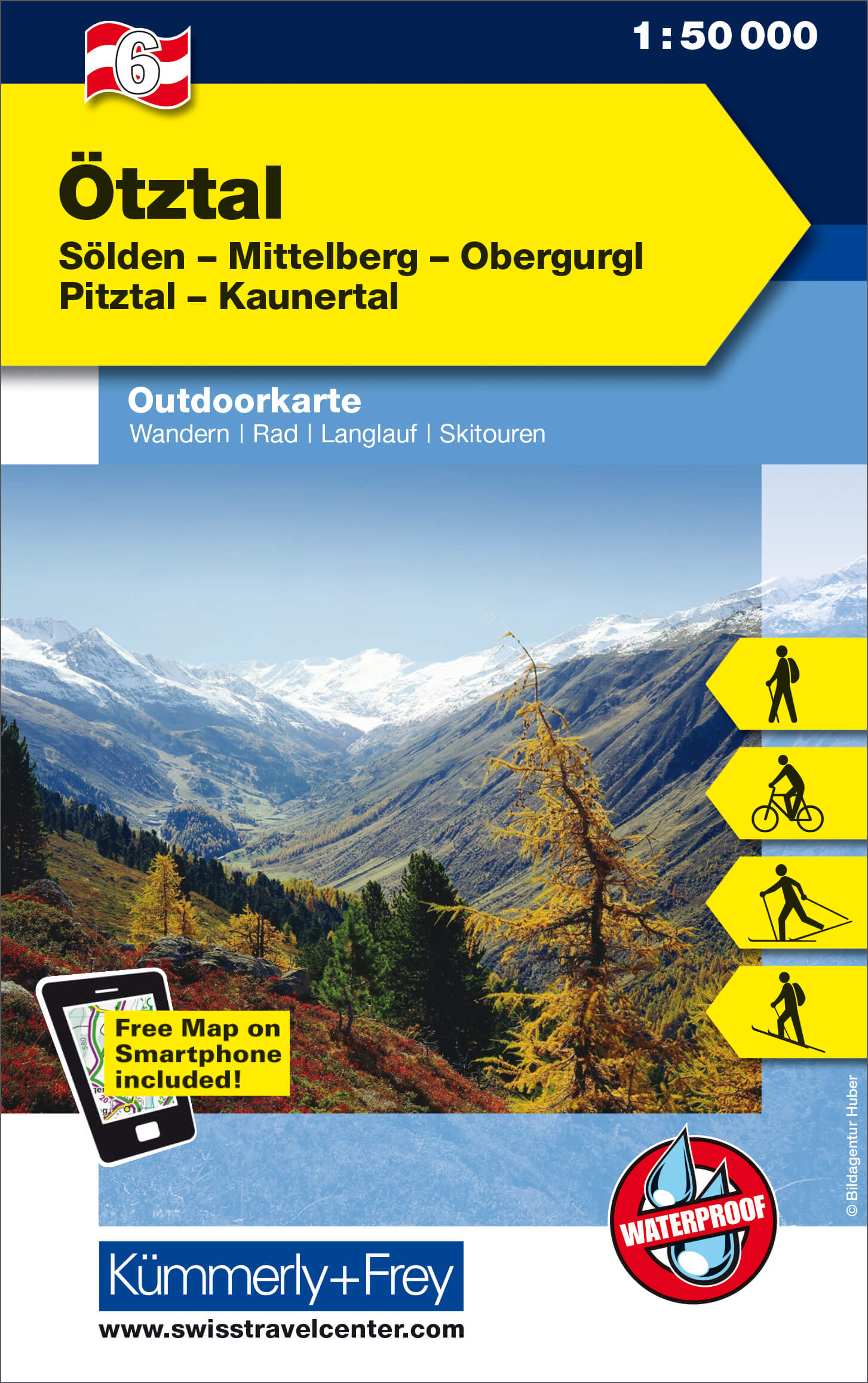
- Oetztal
- Ötztal - Sölden - Mittelberg - Obergurgl - Pitztal - Kaunertal area of the Tyrol at 1:50,000 on a GPS compatible, double-sided map from Kümmerly+Frey printed on sturdy, waterproof and tear-resistant synthetic paper; contoured, with hiking, cycling and ski routes, accommodation facilities, locations for other recreational activities, etc.Maps in... Read more