The Book Depository
United Kingdom
2010
United Kingdom
2010
- Dartmoor
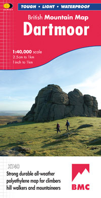
- Double-sided waterproof mountain map of Dartmoor from Harvey at 1:40,000, with a geological map of the region on the reverse, and advice on navigating the region safely.MAIN MAP: Topography is shown through clear altitude shading, spot heights, contours at 15m intervals, and index contours at 75m intervals. A variety of symbols are used to show... Read more
- Also available from:
- De Zwerver, Netherlands
- Stanfords, United Kingdom
De Zwerver
Netherlands
2010
Netherlands
2010
- Wandelkaart Dartmoor | Harvey Maps
- Double-sided waterproof mountain map of Dartmoor from Harvey at 1:40,000, with a geological map of the region on the reverse, and advice on navigating the region safely.MAIN MAP: Topography is shown through clear altitude shading, spot heights, contours at 15m intervals, and index contours at 75m intervals. A variety of symbols are used to show... Read more

Stanfords
United Kingdom
2010
United Kingdom
2010
- Dartmoor Harvey British Mountain Map XT40
- Double-sided waterproof mountain map of Dartmoor from Harvey at 1:40,000, with a geological map of the region on the reverse, and advice on navigating the region safely.*MAIN MAP:* Topography is shown through clear altitude shading, spot heights, contours at 15m intervals, and index contours at 75m intervals. A variety of symbols are used to... Read more