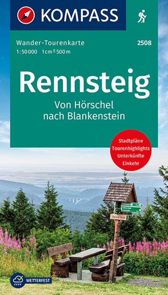
The Rennsteig long-distance trail in the Thuringian Forest between Eisenach and Neuhaus at 1:50,000 from Kümmerly+Frey in a series GPS compatible, double-sided maps printed on durable, waterproof and tear-resistant plastic paper; contoured, with hiking and cycle routes, other recreational activities, etc.Maps in this series are at a scale of...Read more
Deze gedetailleerde wandelkaart beschrijft de wandelroute van 169 km lengte maar ook enkele mogelijke alternatieve routes. Beschreven met veel praktische informatie en bezienswaardigheden onderweg. Erg handig uitgevoerd in water- en scheurvast plastic en in praktisch uitklapformaat! Die Wanderkarte Rennsteig widmet sich dem thüringischen...Read more
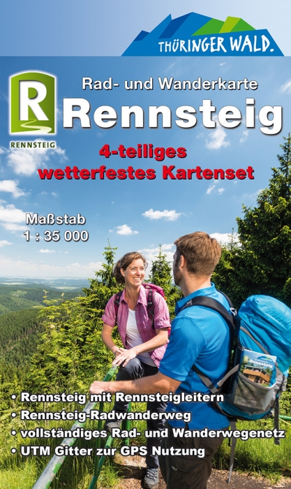
Rennsteig 1:35 000. 4-teiliges wetterfestes Kartenset mit Schutzh�lle ab 12.8 EURO 4-teiliges wetterfestes Kartenset mit Schutzh�lle KKV Rad- und Wanderkarte. vollst�ndig �berarbeitete AusgabeRead more
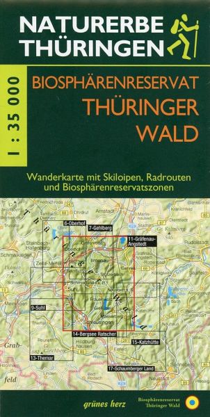
Wanderkarte Biosph�renreservat Th�ringer Wald ab 5.95 EURO Mit Ilmenau, Masserberg, Neustadt/Rennsteig, Schleusingen, Oberhof, Schmiedefeld/Rennsteig, SuhlMit Skiloipen und Radrouten. Offizielle Karte des Biosph�renreservates Th�ringer Wald. Ma�stab 1:35. 000. Th�ringen zu Fu� erleben. �berarbeitete AuflageRead more
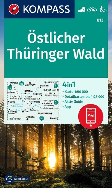
The eastern part of the Thuringian Forest on a detailed, GPS compatible map at 1:50,000 from Kompass with local and long-distance footpaths, cycling routes, accommodation, etc, printed on durable, waterproof and tear-resistant synthetic paper.KOMPASS HIKING & RECREATIONAL MAPS: this title is part of an extensive series covering Austria, much of...Read more
Rennsteig Cycle Route, a 210-km long cycle trail along the Thuringian Forest from Hörchel to Blankenstein, presented by the Verlag Esterbauer in a guide with maps at 1:50,000 showing the route and its variants. Extensive information is conveyed by symbols, indicating road surface, campsites and other accommodation, repair workshops,...Read more
Western Thuringian Forest Nature Park (No. 812), a detailed, GPS compatible map at 1:50,000 from Kompass with local and long-distance footpaths, cycling routes, accommodation, etc, printed on durable, waterproof and tear-resistant synthetic paper.KOMPASS HIKING & RECREATIONAL MAPS:This title is part of an extensive series covering Austria, much...Read more

.jpg)