De Zwerver
Netherlands
Netherlands
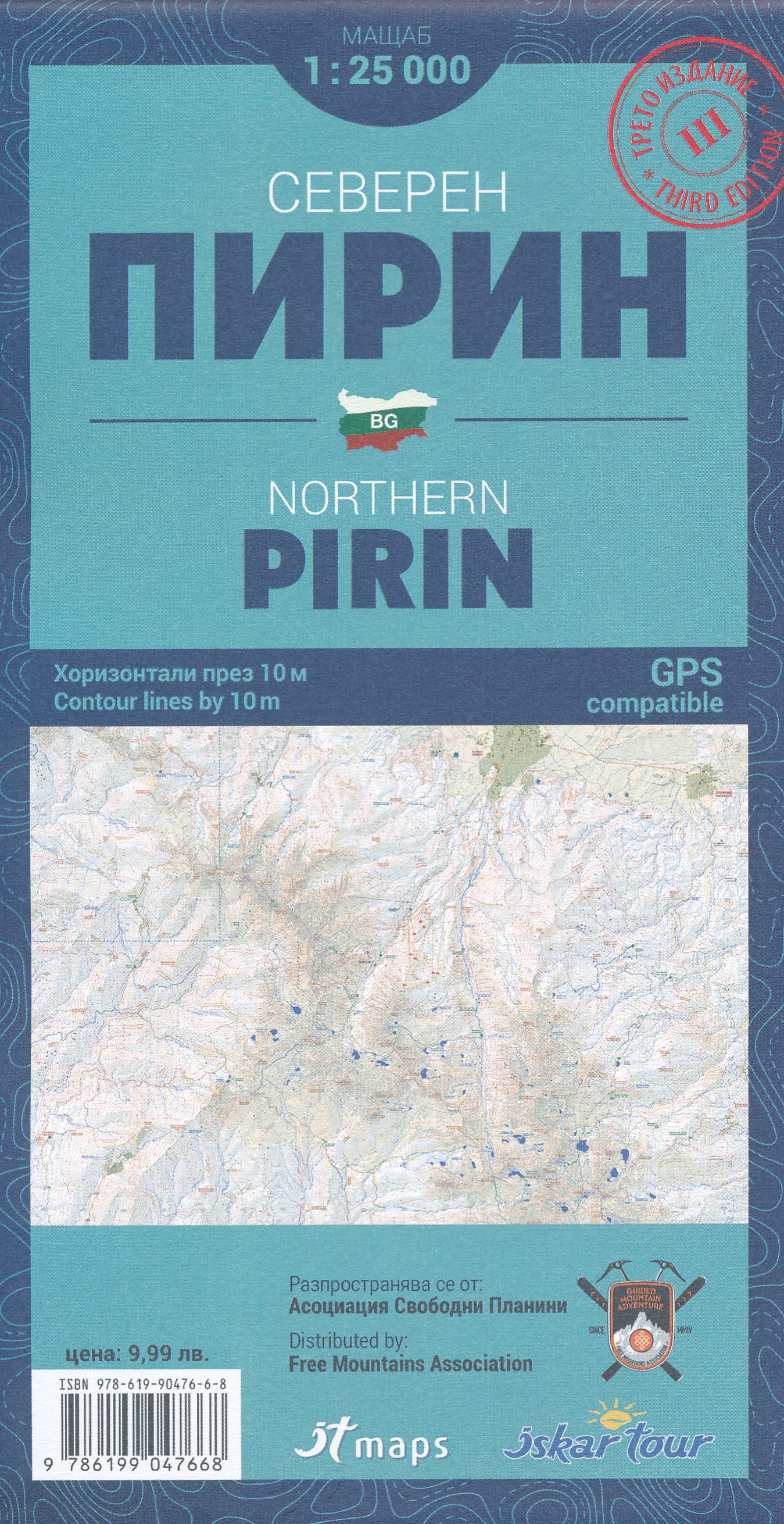
- Wandelkaart noordelijk Pirin gebergte - Northern Pirin | IT maps - Iskar
- Goede duidelijke wandelkaart met een schaal van 1:25.000 van het noordelijk deel van het Pirin gebergte in Bulgarije. De kaart is gebaseerd op topografische kaarten met een opdruk van wandelroutes, hutten en andere handige informatie. Hoogtelijnen (afstand 10 m), bergen, meren en rivieren staan er goed voor navigatie; de beschrijvingen en... Read more