The Book Depository
United Kingdom
United Kingdom
- Speyside Way
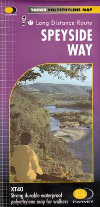
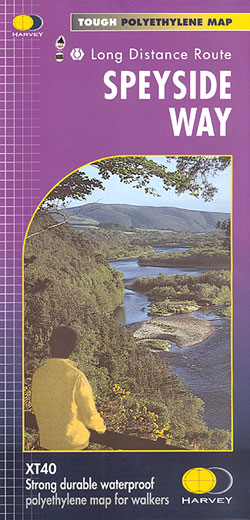
- Speyside Way, a 123km / 77 miles trail between Buckie on the Moray coast and Aviemore in the Cairngorms National Park or alternatively to Tomintoul, presented at 1:40,000 on a light, waterproof and tear-resistant map from Harvey Map Services. The whole route is covered on five overlapping panels, with small street plans of Buckie, Charlestown... Read more
- Also available from:
- De Zwerver, Netherlands
- Stanfords, United Kingdom
De Zwerver
Netherlands
Netherlands
- Wandelkaart Speyside Walk (Schotland) | Harvey Maps
- Speyside Way, a 123km / 77 miles trail between Buckie on the Moray coast and Aviemore in the Cairngorms National Park or alternatively to Tomintoul, presented at 1:40,000 on a light, waterproof and tear-resistant map from Harvey Map Services. The whole route is covered on five overlapping panels, with small street plans of Buckie, Charlestown... Read more
Stanfords
United Kingdom
United Kingdom
- Speyside Way Harvey National Trail XT40
- Speyside Way, a 123km / 77 miles trail between Buckie on the Moray coast and Aviemore in the Cairngorms National Park or alternatively to Tomintoul, presented at 1:40,000 on a light, waterproof and tear-resistant map from Harvey Map Services. The whole route is covered on five overlapping panels, with small street plans of Buckie, Charlestown... Read more