The Book Depository
United Kingdom
2006
United Kingdom
2006
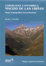
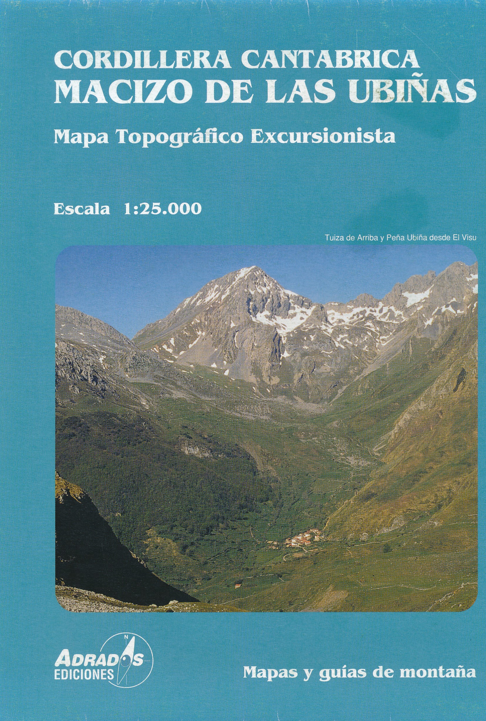
- Cordillera Canatabrica, Macito De Pena Ubina
- Topografische kaart van de Cordillera Cantabrica, Met de volgende toppen: Almagrera, Cerreros, Colines, Crestón del Pasu Malu, Fariñentu; Fontán; Huerto del Diablo, Mesa, Pachón; Ranchón; Rebollosas,etc. Read more
- Also available from:
- De Zwerver, Netherlands
De Zwerver
Netherlands
2006
Netherlands
2006
- Wandelkaart Macizo de las Ubinas | Adrados Ediciones
- Topografische kaart van de Cordillera Cantabrica, Met de volgende toppen: Almagrera, Cerreros, Colines, Crestón del Pasu Malu, Fariñentu; Fontán; Huerto del Diablo, Mesa, Pachón; Ranchón; Rebollosas,etc. Read more