The Book Depository
United Kingdom
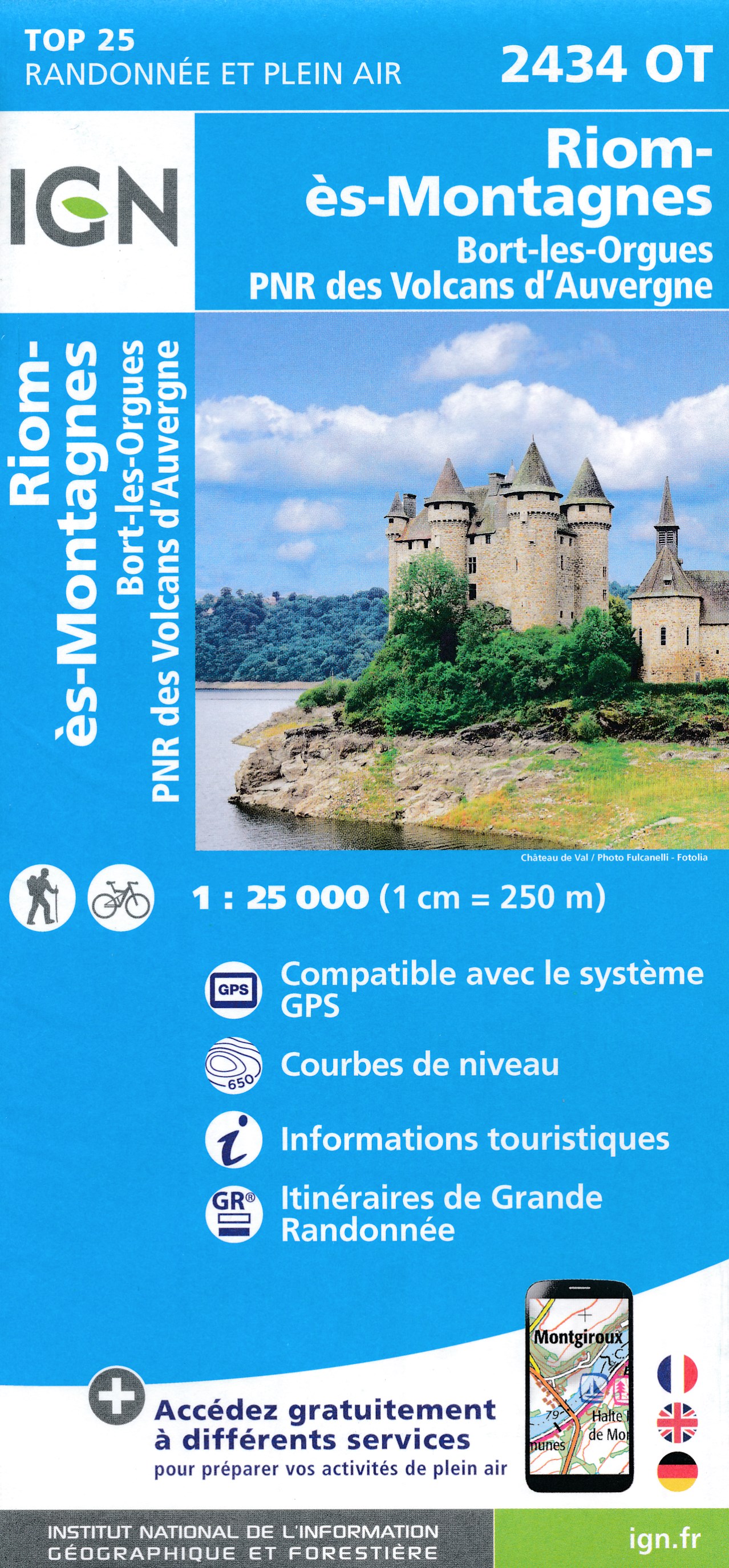
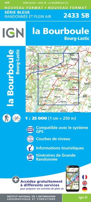
- Riom-Es-Montagnes/Bort-les-Orgues PNR Volcans Auvergne
- De wandelkaart die de perfectie benadert! Werkelijk alle topografische details zijn er op te vinden; van hoogtelijnen tot aan bruggetjes en allerlei wandelpaden. Daarnaast hebben de makers een flinke dosis toeristische informatie op de kaart verwerkt: campings, gites d étape; restaurants en ingetekende doorgaande wandelpaden, de grandes... Read more