The Book Depository
United Kingdom
» Click to open
Stanfords
United Kingdom
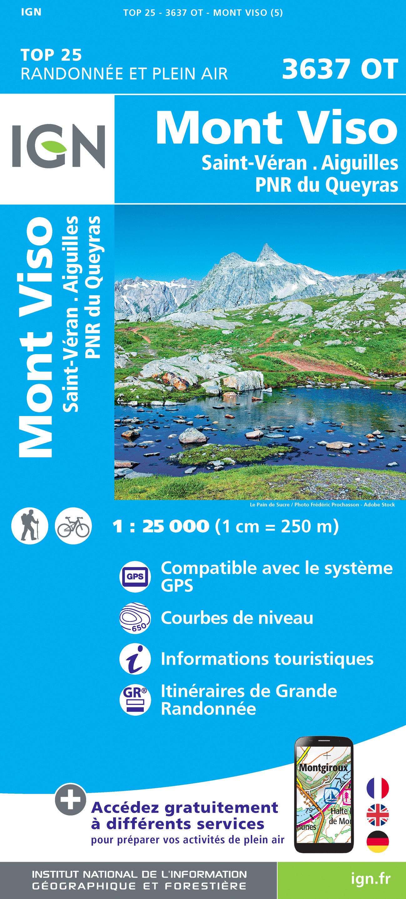
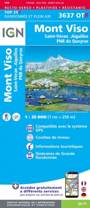
  • Mont Viso - Saint-Veran - Aiguilles - PNR du Queyras IGN WATERPROOF 3637OTR
  • Topographic survey of France at 1:25,000 in IGN`s excellent TOP25 / Série Bleue series. All the maps are GPS compatible, with a 1km UTM grid plus latitude and longitude lines at 5’ intervals. Contours are at 5m intervals except for mountainous areas where the maps have contours at 10m intervals, vividly enhanced by hill shading and graphics for... Read more
» Click to close
The Book Depository
United Kingdom
2019
» Click to open
» Click to close
The Book Depository
United Kingdom
» Click to open
» Click to close
The Book Depository
United Kingdom
» Click to open
Stanfords
United Kingdom
  • Mont Viso - Saint-Veran - Aiguilles - PNR du Queyras IGN 3637OT
  • Topographic survey of France at 1:25,000 in IGN`s excellent TOP25 / Série Bleue series. All the maps are GPS compatible, with a 1km UTM grid plus latitude and longitude lines at 5’ intervals. Contours are at 5m intervals except for mountainous areas where the maps have contours at 10m intervals, vividly enhanced by hill shading and graphics for... Read more
» Click to close
The Book Depository
United Kingdom
» Click to open
De Zwerver
Netherlands
Stanfords
United Kingdom
  • Briançonnais – Queyras IGN 75005
  • Briançonnais - Queyras PNR region in a series of GPS compatible, contoured TOP 75 maps at 1:75,000 from the IGN, highlighting local and long-distance hiking paths, cycling routes and sites for other recreational activities. The map includes five large panels showing the areas around Col des Ayes, Lac de l’Ascension, Riche Gauthier, Pointe de la... Read more
» Click to close
De Zwerver
Netherlands
2020
» Click to open
Stanfords
United Kingdom
2020
  • Queyras - Ubaye Didier Richard
  • Parc Naturel Régional du Queyras and the Ubaye region of the French Alps at 1:60,000 on a contoured and GPS compatible map from Didier Richard with a base derived from IGN’s topographic survey, highlighting both local hiking routes and the GR network of long-distance paths, gîtes and mountain refuges, interesting natural and cultural sites,... Read more
» Click to close
De Zwerver
Netherlands
» Click to open
Stanfords
United Kingdom
  • Monviso IGC 6
  • Monviso / Monte Viso cross-border area with coverage from Châteaux Queyras to Sampeyre and from the Grand Queyron to the Aiguille de Chambeyron in a series contoured hiking maps at 1:50,000 with local trails, long-distance footpaths, mountain accommodation, etc. from the Turin based Istituto Geografico Centrale.Maps in this series have contours... Read more
» Click to close
De Zwerver
Netherlands
2022
De Zwerver
Netherlands
2014
» Click to open
Stanfords
United Kingdom
2014
  • Mercantour & Alpi-Marittime Didier Richard 07
  • Mercantour National Park and the Maritime Alps on a large, double-sided, contoured and GPS compatible map from Editions Didier Richard highlighting local walking trails and long-distance hiking routes including the GR5. Coverage extends from well north of Col de Larch to Sospel, Levens and Roquestéron in the mountains north of the French... Read more
» Click to close
De Zwerver
Netherlands
» Click to open
Stanfords
United Kingdom
  • Ubaye - Val d`Allos - Lac de Serre-Ponçon IGN 75008
  • Ubaye - Val d`Allos - Lac de Serre-Ponçon region in a series of GPS compatible, contoured TOP 75 maps at 1:75,000 from the IGN, highlighting local and long-distance hiking paths, cycling routes and sites for other recreational activities. The map includes five large panels showing the areas around Petite Epervière, Grande Séolane, Aiguilles de... Read more
» Click to close
De Zwerver
Netherlands
2016
» Click to open
Stanfords
United Kingdom
2016
  • Vanoise National Park - Beaufortain Didier Richard 04
  • Vanoise National Park and the Beaufortain Massif in the French Alps at 1:60,000 on a contoured and GPS compatible map from Didier Richard with a base derived from IGN’s topographic survey, highlighting both local hiking routes and the GR network of long-distance paths, gîtes and mountain refuges, interesting natural and cultural sites, etc. The... Read more
» Click to close
De Zwerver
Netherlands
» Click to open
Stanfords
United Kingdom
  • Briançon - Vallèe de la Guisane - Vallèe de la Clarèe
  • Briançon - Vallèe de la Guisane - Vallèe de la Clarèe area of the French Alps presented at 1:25,000 in a series of large, contoured and GPS compatible walking maps from Fraternali Editore, printed on light, waterproof and tear-resistant synthetic paper. Maps in this series have topography shown by contour lines at 5m intervals with relief... Read more
» Click to close
De Zwerver
Netherlands
2018
De Zwerver
Netherlands
De Zwerver
Netherlands