De Zwerver
Netherlands
Netherlands
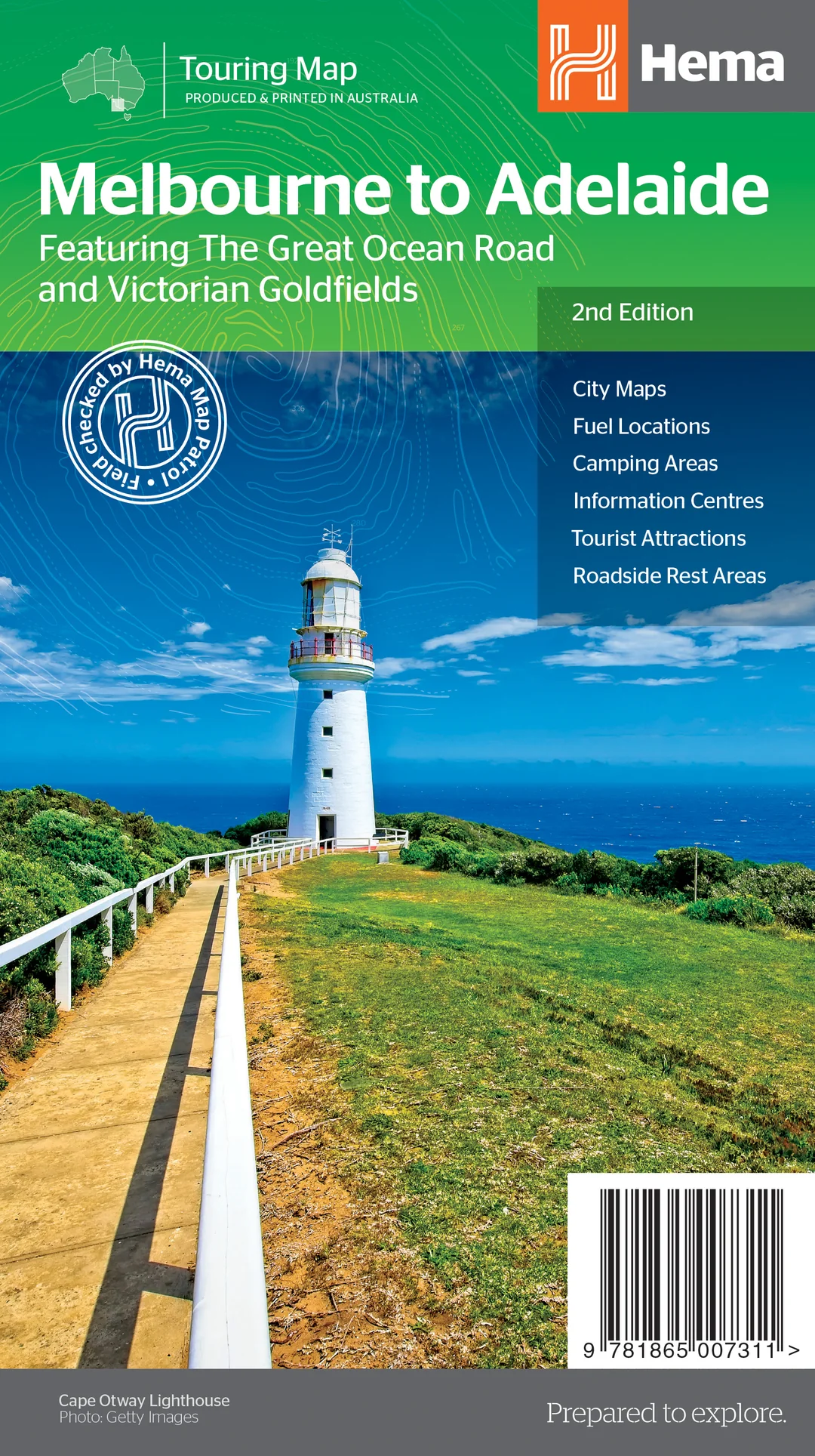
- Wegenkaart - landkaart Melbourne to Adelaide | Hema Maps
- Melbourne to Adelaide 1 : 450 000 ab 9.99 EURO featuring the Great Ocean Road / City maps / 24 hour fuel / Camping areas / Distance charts / Tourist attractions / Roadside rest areas. 2nd edition Read more