
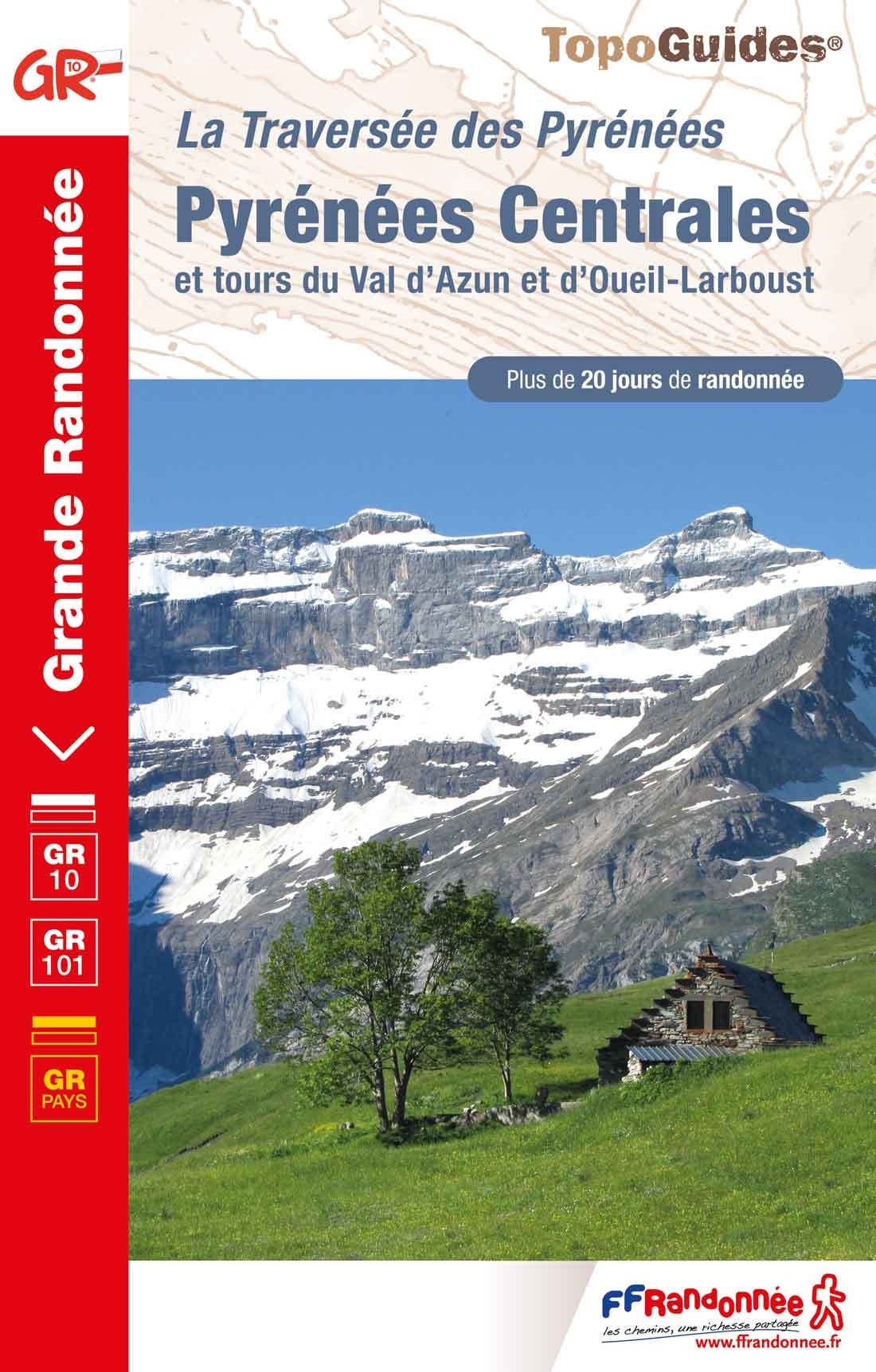
GR10 - Traversée des Pyrénées
Beschreibung
- Name GR10 - Traversée des Pyrénées (GR10)
- Länge von Wanderweg 866 km, 538 Meilen
- Länge in Tagen 58 Tage
- Anfang von Wanderweg Hendaye
- Ende von Wanderweg Banyuls-sur-Mer
- Traildino Schwierigkeit SW, Anspruchsvolle Wanderung, Bergwanderung
- Schwierigkeitsgrad Berg- und Alpinwanderung T2, Bergwandern


GR10, Hendaye (Atlantique) - Banyuls-sur-Mer (Mediterranean) through the Pyrenees, 866 km, 7 weeks
Few trails have the magic sound the GR10 has. Crossing the Pyrenees from west to east is a major accomplishment and a life-time experience. The GR20 in Corsica may be the most difficult of the Grand Randonnées; some passages are tricky indeed. The GR10 however, is hard to complete in one go. In the Pyrenees all the valleys are perpendicular to the main ridge, which means you have to go up and down, from one valley to the other. Therefore, thru-hiking the GR10 is hard.
There are those who believe in the Alps and others who believe in the Pyrenees. They rarely agree. The Pyrenees are greener, softer, lonesome, the proponents would advocate. Okay, but you get soaked all summer, the opponents would argue.
The Pyrenees are build from solid granite and some limestone in the west. You will find out yourself when scrambling these large boulders, hurting your knees with too large steps to take. Ice has had a prominent influence - although nowadays barely a glacier is left: many beautifully situated lakes, large and small, ornament the high altitudes.
Another feature are the dense forests the hiker crosses. In them, dead villages are quit common. Once, large populations lived here. But they left. With them sheep flocks and brown bears. Bears have been reintroduced, but with mixed success and support.
Hiking the path is facilitated by the many Gîtes d'Étappe in the small villages. Often, small shops still cater for the necessary provisions. Many cabanes, or bothies, still survive. Do not expect any luxury however, though company from mice is common. Tourism boomed in many parts, especially the Nature Parks, but is completely absent elsewhere.
Note the Pyrenees have many smaller, often circular trails, or variants to the GR10, often no less attractive. Note also that an even harder trail exists: the Haute Randonnée Pyrénéenne, following the main ridge. This HRP requires some mountaineering skills and can be undertaken from july onwards. The GR10 is by and large safe. On the Spanish side the GR11 explores some of the better parts of these mountains. The Spanish side gets much less rain. On the other side, the trail here is probably harder than the French side.
Karte


Links
Fakten
Berichte
Führer und Karten
Übernachtung
Organisationen
Reisebüros
GPS
Sonstiges
Bücher

- Also available from:
- Stanfords, United Kingdom

United Kingdom
2021
- Volcan du Cantal et Pays de Saint-Flour - Haute-Auvergne GR400/4
- Volcan du Cantal: Pays de Saint-Flour et de Ruynes-en-Margeride, FFRP topoguide, Ref. No. 400, covering 600kms of long-distance paths in the Cantal region of the Massif Central, which can also be walked as shorter circuits. Current edition of this title was published in July 2013.To see other titles in this series please click on the series... Read more

- Also available from:
- De Zwerver, Netherlands
- Stanfords, United Kingdom
United Kingdom
2021
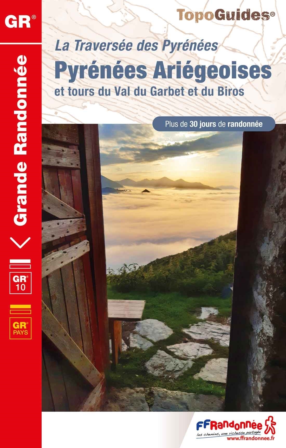
- Pyrénées Ariégeoises - La traversée des Pyrénées et tours du Val du Garbet et du Biros GR10
- Pyrénées Ariégeoises, FFRP topoguide, Ref. No. 1090, covering the third section of the GR10 along the Pyrenees from the Atlantic to the Mediterranean – a 335-km long walk from Bagnères-de-Luchon to Mérens-les-Vals. Given the mountainous terrain, the guide also provides a detailed route profile for this part of the GR10, annotated with timings... Read more

- Also available from:
- De Zwerver, Netherlands
- Stanfords, United Kingdom

Netherlands
2022
- Wandelgids Pyrenean Haute Route - a high level trail, Pyreneeën HRP | Cicerone
- Guidebook to trekking the Pyrenean Haute Route, which zigzags across the Franco-Spanish border, staying close to the main ridge in the highest and most spectacular central Pyrenees. It covers 750km with over 40km of ascent, so is suitable for experienced mountain walkers only. The largely unwaymarked route is presented in 45 stages. Read more

United Kingdom
2019
- The Pyrenean Haute Route
- There are three main trekking routes across the Pyrenees from coast to coast: of these, the Pyrenean Haute Route (or HRP for Haute Route Pyreneenne) is the most challenging - and arguably, the most spectacular. Unlike the GR10 and GR11, it is not waymarked and borders on mountaineering at times, sticking as closely as possible to the main... Read more

United Kingdom
2019
- Shorter Treks in the Pyrenees
- 7 great one and two week circular treks Read more
- Also available from:
- De Zwerver, Netherlands

Netherlands
2019
- Wandelgids Shorter Treks in the Pyrenees | Cicerone
- Guidebook detailing seven circular treks of 4-12 days in the beautiful Pyrenees. The varied routes cover both sides of the French-Spanish border and include both the High Pyrenees and the lower, more gentle mountains of the Basque Country and Catalonia. Variants are suggested for those wishing to shorten or extend the treks. Read more

United Kingdom
2021
- Also available from:
- De Zwerver, Netherlands
- Stanfords, United Kingdom

United Kingdom
2021
- Tour du Cotentin - Littorral de la Normandie GR223
- Tour du Cotentin, FFRP topoguide Ref. no. 200, covering the GR223 along the coast of the Cotentin Peninsula from Isigny-sur-Mer to Mont-St-Michel, including the Utah Beach of the D-Day Normandy Landings. Together with several variants off the main route, the guide provides coverage of nearly 600kms of hiking trails. Current edition of this... Read more

- Also available from:
- De Zwerver, Netherlands
- Stanfords, United Kingdom
Netherlands
2021
United Kingdom
2021
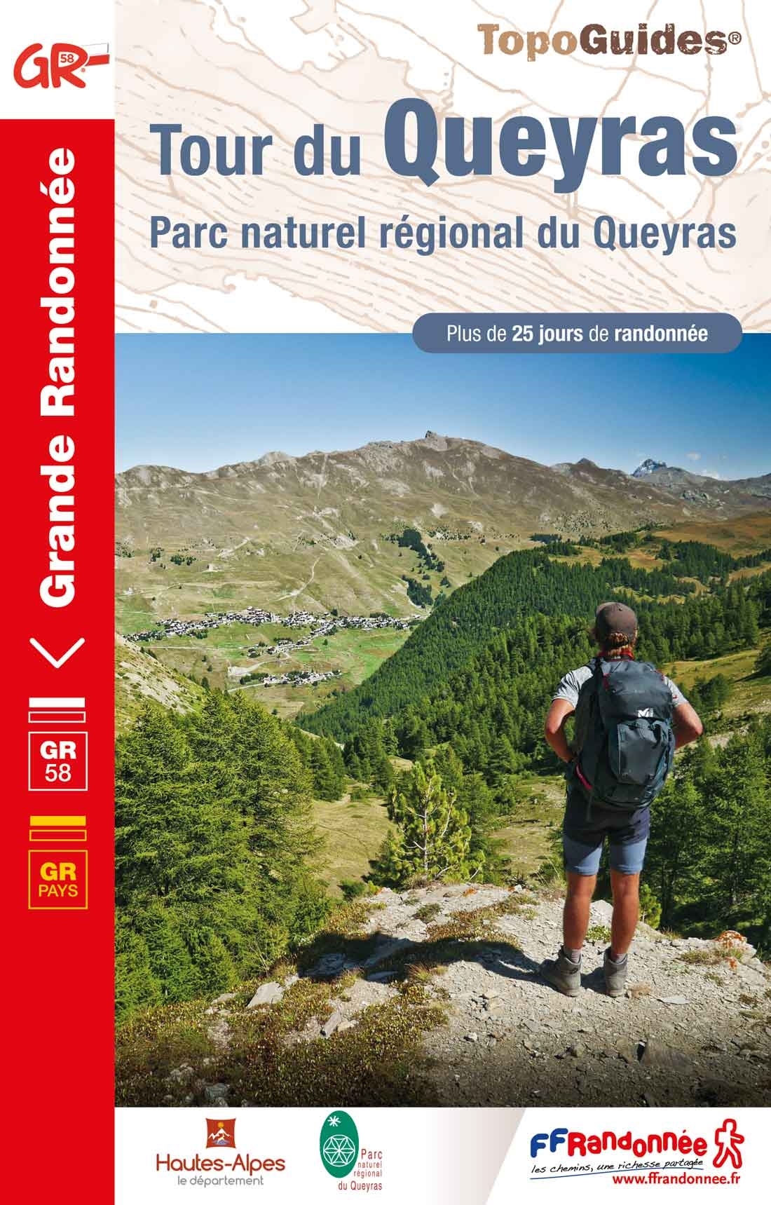
- Tour du Queyras GR58
- Tour du Queyras, FFRP topoguide Ref. No. 505, covering in addition to the tour of this picturesque mountain range several other circular routes within the Parc Régional du Queyras. Current edition of this title was published in July 2015.ABOUT THE FFRP (Fédération française de la randonnée pédestre) TOPOGUIDES: published in a handy A5 paperback... Read more

- Also available from:
- De Zwerver, Netherlands
- Stanfords, United Kingdom

United Kingdom
2021
- Tour des Monts d`Aubrac GRP/GR60/GR6
- Tour des Monts d`Aubrac, FFRP topoguide Ref. No. 616, covering 259kms of hiking circuits in the Massif Central along the GR6, GR60 and GR65. Current edition of this title was published in May 2016.ABOUT THE FFRP (Fédération française de la randonnée pédestre) TOPOGUIDES: published in a handy A5 paperback format, the guides are the best... Read more

United Kingdom
2021
- Also available from:
- Stanfords, United Kingdom
United Kingdom
2021
- Tour du Mont-Lozere et du Causse Méjean GR6/GR68
- Tours du Mont-Lozère et du Causse Méjean, FFRP topo-guide Ref. No. 631, with the two circular tours, a 117-km Tour du Mont Lozère and a 111-km Tour du Causse Méjean, plus additional trails along the GR7 and GR70.ABOUT THE FFRP (Fédération française de la randonnée pédestre) TOPOGUIDES: published in a handy A5 paperback format, the guides are... Read more

United Kingdom
- Vignemale - Valle de Bujaruelo
- Cross-border area of the Pyrenees at 1:25,000 on a contoured and GPS compatible map covering on the Spanish side the valleys of Bujaruelo and Ara with the western section of the Ordesa National Park and the Ordesa Valley, and within France extending from the Vignemale Massif to Gavarnie, plus a Spanish/French booklet with recommendations for... Read more
- Also available from:
- De Zwerver, Netherlands
- Stanfords, United Kingdom

Netherlands
- Wandelkaart 06 Vignemale - Valle de Bujaruelo | Editorial Alpina
- Cross-border area of the Pyrenees at 1:25,000 on a contoured and GPS compatible map covering on the Spanish side the valleys of Bujaruelo and Ara with the western section of the Ordesa National Park and the Ordesa Valley, and within France extending from the Vignemale Massif to Gavarnie, plus a Spanish/French booklet with recommendations for... Read more

United Kingdom
- Vignemale - Valle de Bujaruelo Editorial Alpina
- Cross-border area of the Pyrenees at 1:25,000 on a contoured and GPS compatible map covering on the Spanish side the valleys of Bujaruelo and Ara with the western section of the Ordesa National Park and the Ordesa Valley, and within France extending from the Vignemale Massif to Gavarnie, plus a Spanish/French booklet with recommendations for... Read more
Netherlands
2018
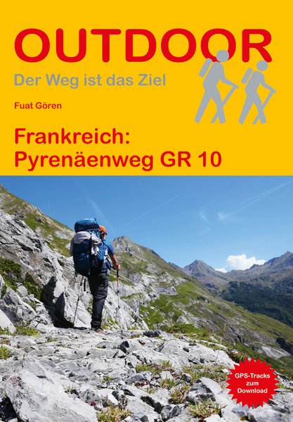
- Wandelgids 216 Pyrenäenweg GR10 - GR 10 | Conrad Stein Verlag
- Handzaam boekje (prettig klein formaat) met de routebeschrijving inclusief een heleboel praktische informatie. De beschrijving is uitstekend, maar kaarten zijn beperkt en schetsmatig aanwezig. Duits. Der GR 10 ist einer der bekanntesten Fernwanderwege Frankreichs. Von Hendaye an der französischen Atlantikküste wandern Sie über 933 km und ca.... Read more

Netherlands
2014
- Wandelgids - Pelgrimsroute 6531 Sentier vers Saint-Jacques-de-Compostelle : Montgenèvre - Arles GR653D | FFRP
- Guide FFRandonnée Sentier vers Saint-Jacques-de-Compostelle : Montgenèvre - Arles - GR 653D - 459 km de sentiers GR. La Voie d'Arles. Un chemin incontournable, à la fois itinéraire jacquaire et ancienne voie romaine, qui vous fera découvrir 4 départements aux paysages contrastés et au... Read more
- Also available from:
- Stanfords, United Kingdom

United Kingdom
2014
- GR653D Chemins de St-Jacques: Montgenèvre - Arles FFRP Topo-guide No. 6531
- Chemins de St-Jacques: Montgenèvre - Arles, FFRP topoguide Ref. no. 6531, covering a 459km route along the GR653D from Montgenèvre in the French Alps on the Italian border, across Gap, Sisteron, Apt and Cavaillon, to Arles. Current edition of this title was published in June 2014.ABOUT THE FFRP (Fédération française de la randonnée pédestre)... Read more
Netherlands
2015
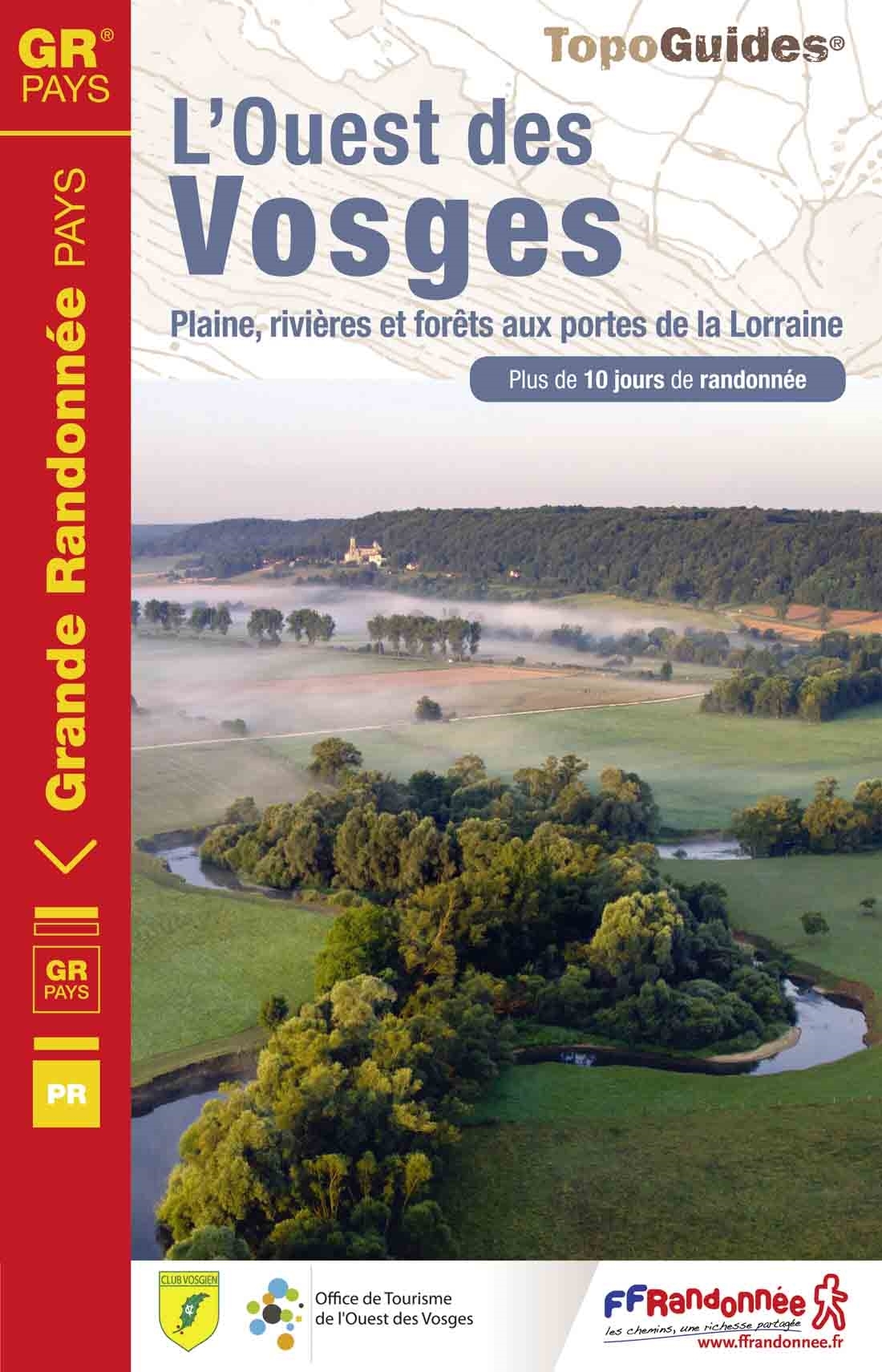
- Wandelgids 881 L'Ouest des Vosges | FFRP
- Guide FFRandonnée l'ouest des Vosges .1 GR® de Pays et 18 balades.Dans l'ouest des Vosges, l'horizon s'adoucit, les résideux cèdent le pas aux feuillus et les nombreux cours d'eau entaillent joliment ce pa... Read more
- Also available from:
- Stanfords, United Kingdom

United Kingdom
2015
- GR de Pays: Ouest des Vosges FFRP Topo-guide No. 881
- Ouest des Vosges, FFRP topoguide Ref. No. 881, covering a hiking circuit from Neufchâtel plus 18 local walks in the western part of the department of Vosges, Current edition of this title was published in July 2015. PLEASE NOTE: the area covered by this guide is not in the Vosges Mountains.ABOUT THE FFRP (Fédération française de la randonnée... Read more
Netherlands
2013
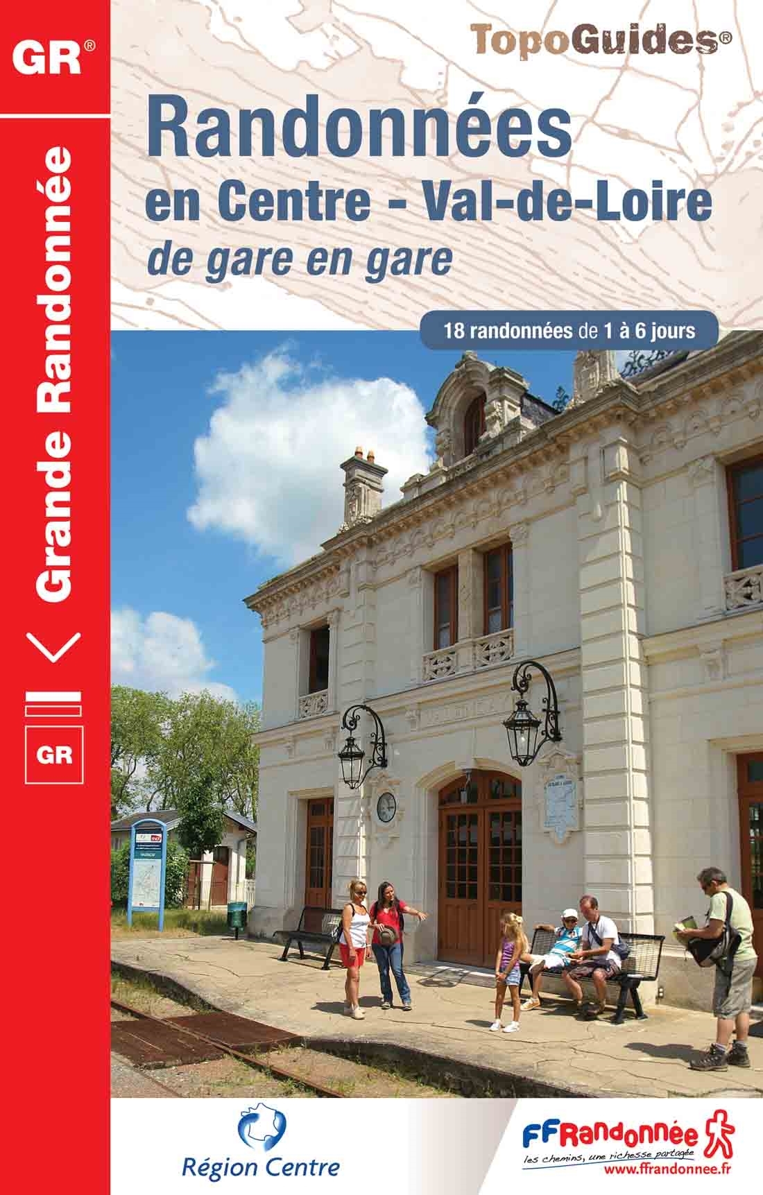
- Wandelgids 300 Randonnées en Centre Val-de-Loire | FFRP
- Guide FFRandonnée Randonnées en Centre - Val-de-Loire de gare en gare. GR.Nouveauté 2013 : 18 randonnées de 1 à 6 jours au départ des gares. La crème de la région Centre sans émission de gaz carbonique !Le topo-guide reprend des tronçons de GR® déjà... Read more
- Also available from:
- Stanfords, United Kingdom

United Kingdom
2013
- GR300: Randonnées en Centre - Val-de-Loire de gare en gare FFRP Topo-guide No. 300
- Randonnées en Centre - Val-de-Loire de gare en gare, FFRP topoguide Ref. no. 300, with 18 routes from one to six days long linking SNCF railway stations. Six of the routes can covered in one day; the longest one is a 93km walk from Bourges to Sancerre. The walks link some of France’s most interesting historical locations: Maintenon and... Read more
Netherlands
2013
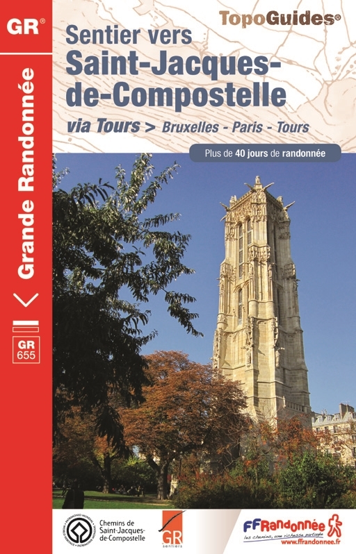
- Wandelgids 6551 Sentier vers Saint-Jacques-de-Compostela: Brussel - Parijs -Tours GR655 | FFRP
- Guide FFRandonnée Sentier vers Saint-Jacques-de-Compostelle : Bruxelles-Paris-Tours - 6551.La via Turonensis (ou voie de Tours/voie de Paris) est l'un des quatre chemins de France du pèlerinage de Saint-Jacques-de-Compostelle, le plus au nord. Voie la plus sereine et la plus ancienne, elle était historiquement la plus fréquentée.Au départ de... Read more
Karten

United Kingdom
2021
- Le long des ch�teaux de la Loire GR3/GR3B
- Le long des Châteaux de la Loire, FFRP topoguide Ref. No. 333, covering 552km route along the Loire from Bonny-sur-Loire across Orléans, Blois and Tours to Angers. Current edition of this title was published in May 2018.The Loire is world famous for its castles and gardens, now classified as World Heritage by UNESCO. The site of the Loire... Read more
- Also available from:
- Stanfords, United Kingdom
United Kingdom
2021
- Le long des Chateaux de la Loire GR3/GR3B
- Le long des Châteaux de la Loire, FFRP topoguide Ref. No. 333, covering 552km route along the Loire from Bonny-sur-Loire across Orléans, Blois and Tours to Angers. Current edition of this title was published in May 2018.The Loire is world famous for its castles and gardens, now classified as World Heritage by UNESCO. The site of the Loire... Read more

United Kingdom
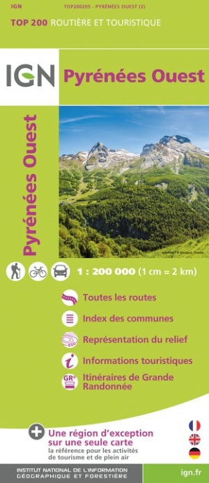
- Pyrenees Western
- Pyrénées Ouest map from the IGN at 1:200,000, with excellent presentation of the terrain through contours and vivid relief shading, plenty of names of topographic features, long-distance GR hiking routes, places of interest, etc. The map is designed to provide convenient coverage of the western and central part of the Pyrenees, extending across... Read more
- Also available from:
- Stanfords, United Kingdom
United Kingdom
- Pyrenees West IGN Top200 205
- Pyrénées Ouest map from the IGN at 1:200,000, with excellent presentation of the terrain through contours and vivid relief shading, plenty of names of topographic features, long-distance GR hiking routes, places of interest, etc. The map is designed to provide convenient coverage of the western and central part of the Pyrenees, extending across... Read more

United Kingdom
- Pyrenees Eastern
- Pyrénées Ouest map from the IGN at 1:200,000, with excellent presentation of the terrain through contours and vivid relief shading, plenty of names of topographic features, long-distance GR hiking routes, places of interest, etc. The map is designed to provide convenient coverage of the western and central part of the Pyrenees, extending across... Read more
- Also available from:
- Stanfords, United Kingdom

United Kingdom
- Pyrenees East IGN Top200 206
- Pyrénées Ouest map from the IGN at 1:200,000, with excellent presentation of the terrain through contours and vivid relief shading, plenty of names of topographic features, long-distance GR hiking routes, places of interest, etc. The map is designed to provide convenient coverage of the western and central part of the Pyrenees, extending across... Read more

- Also available from:
- De Zwerver, Netherlands
- Stanfords, United Kingdom


United Kingdom
- Canigou-Garrotxa Rando Editions 10
- Canigou Massif and the surrounding region of the French Pyrenees on a contoured and GPS compatible map at 1:50,000 from Rando Editions with topographic base provided by the IGN, highlighting local and long-distance hiking trails, mountain biking routes, etc. Topography is vividly presented by contours at 20m intervals enhanced by shading and... Read more

United Kingdom
- Haut-Jura / Alpes du Nord
- Pyrénées Ouest map from the IGN at 1:200,000, with excellent presentation of the terrain through contours and vivid relief shading, plenty of names of topographic features, long-distance GR hiking routes, places of interest, etc. The map is designed to provide convenient coverage of the western and central part of the Pyrenees, extending across... Read more
- Also available from:
- Stanfords, United Kingdom

United Kingdom
- High Jura - Northern Alps IGN Top200 202
- Pyrénées Ouest map from the IGN at 1:200,000, with excellent presentation of the terrain through contours and vivid relief shading, plenty of names of topographic features, long-distance GR hiking routes, places of interest, etc. The map is designed to provide convenient coverage of the western and central part of the Pyrenees, extending across... Read more

United Kingdom
- Alpes du Sud
- Pyrénées Ouest map from the IGN at 1:200,000, with excellent presentation of the terrain through contours and vivid relief shading, plenty of names of topographic features, long-distance GR hiking routes, places of interest, etc. The map is designed to provide convenient coverage of the western and central part of the Pyrenees, extending across... Read more
- Also available from:
- Stanfords, United Kingdom

United Kingdom
- Southern Alps IGN Top200 203
- Pyrénées Ouest map from the IGN at 1:200,000, with excellent presentation of the terrain through contours and vivid relief shading, plenty of names of topographic features, long-distance GR hiking routes, places of interest, etc. The map is designed to provide convenient coverage of the western and central part of the Pyrenees, extending across... Read more

United Kingdom
2020
- Tour et travers�es du Massif des Bauges GR96/GRP
- Tours et Traversées du Massif des Bauges, FFRP topoguide Ref. no. 902, covering 500kms of routes in the French Alps between Annecy, Aix-les-Bains, Chambéry and Albertville. Current edition of this title was published in May 2015.ABOUT THE FFRP (Fédération française de la randonnée pédestre) TOPOGUIDES: published in a handy A5 paperback format,... Read more
- Also available from:
- Stanfords, United Kingdom
United Kingdom
2020
- Tours et Traversées du Massif des Bauges GR96
- Tours et Traversées du Massif des Bauges, FFRP topoguide Ref. no. 902, covering 500kms of routes in the French Alps between Annecy, Aix-les-Bains, Chambéry and Albertville. Current edition of this title was published in May 2015.ABOUT THE FFRP (Fédération française de la randonnée pédestre) TOPOGUIDES: published in a handy A5 paperback format,... Read more

United Kingdom
- Bearn - Aspe - Ossau - Pyrenees NP
- Uitstekende wandelkaart met veel toeristische informatie en bijzonder gedetailleerd. Wandelroute en hutten / campings zijn ingetekend, met hoogtelijnen. Andere dorpen op deze kaart: Etsaut - Col du Somport - Fabrèges - Col du Pourtalet - la Pierre Saint Martin - Arette - Arudy - Laruns - Arrens Marsous - Argelès Gazost (Frankrijk - Pyreneeen)... Read more
- Also available from:
- De Zwerver, Netherlands
- Stanfords, United Kingdom

Netherlands
- Wandelkaart 03 Béarn - Bearn | Rando Editions
- Uitstekende wandelkaart met veel toeristische informatie en bijzonder gedetailleerd. Wandelroute en hutten / campings zijn ingetekend, met hoogtelijnen. Andere dorpen op deze kaart: Etsaut - Col du Somport - Fabrèges - Col du Pourtalet - la Pierre Saint Martin - Arette - Arudy - Laruns - Arrens Marsous - Argelès Gazost (Frankrijk - Pyreneeen)... Read more

United Kingdom
- Béarn - Aspe - Ossau - Pyrenees National Park Rando Editions 3
- French Pyrenees of the Béarn region, from Tardets-Sorholus to the western part of the Pyrenees National Park including the Ossau and Balaïtous massifs, on a contoured and GPS compatible map at 1:50,000 from Rando Editions with topographic base provided by the IGN, highlighting local and long-distance hiking trails, cycle and mountain bike... Read more

Netherlands
- Wandelkaart 04 Bigorre | Rando Editions
- Itinéraires de rando, infos culturelles, touristiques et sportives, gîtes, refuges : toutes ces infos sont disponibles sur cette carte à cheval sur France et Espagne. Read more
- Also available from:
- Stanfords, United Kingdom

United Kingdom
- Bigorre - Cauterets - Gavarnie - Saint-Lary-Soulan - Pyrenees NP Rando Editions 4
- The highest part of the French Pyrenees, from the peaks of Palas and Balaïtous across Vignemale and the Gavarnie valley to Pic Schrader, on a contoured and GPS compatible map at 1:50,000 from Rando Editions with topographic base provided by the IGN, highlighting local and long-distance hiking trails, mountain bike routes, etc. Coverage starts... Read more

Netherlands
- Wandelkaart 05 Luchon | Rando Editions
- Uitstekende wandelkaart met veel toeristische informatie en bijzonder gedetailleerd. Wandelroute en hutten / campings zijn ingetekend, met hoogtelijnen. Andere dorpen op deze kaart: Col d'Aspin - Barbazan - Aspet - le Pla d'Adet - St. Lary Soulan - Val Louran - Col de Peyresourde - Bagnères de Luchon (Frankrijk - Pyreneeen). Carte topographique... Read more
- Also available from:
- Stanfords, United Kingdom

United Kingdom
- Luchon Rando Editions 5
- The Luchon region of the French Pyrenees, around St.Gaudens, the Louron Valley and Bagnères-de-Luchon, on a contoured and GPS compatible map at 1:50,000 from Rando Editions with topographic base provided by the IGN, highlighting local and long-distance hiking trails, cycle and mountain bike routes, etc. Topography is vividly presented by... Read more

- Also available from:
- Stanfords, United Kingdom

United Kingdom
- Pays Basque West Rando Editions 1
- The westernmost section of the French Pyrenees between the Atlantic coast and St-Jean-Pied-de-Port on a contoured and GPS compatible map at 1:50,000 from Rando Editions with topographic base provided by the IGN, highlighting local and long-distance hiking trails, cycle and mountain bike routes, etc. Coverage along the Atlantic coast starts at... Read more

Netherlands
- Wandelkaart Trekking map Central Pyrenees - Pyreneeën | TerraQuest
- The central part of the French Pyrenees on a waterproof and tear-resistant, contoured and GPS compatible map at 1:50,000 from terraQuest, highlighting hiking trails, campsites and refuges, etc. The map is presented in a special format handy for conveniently viewing just small sections of it at one time.Coverage extends north to the towns... Read more
- Also available from:
- Stanfords, United Kingdom

United Kingdom
- Central Pyrenees terraQuest Trekking Map
- The central part of the French Pyrenees on a waterproof and tear-resistant, contoured and GPS compatible map at 1:50,000 from terraQuest, highlighting hiking trails, campsites and refuges, etc. The map is presented in a special format handy for conveniently viewing just small sections of it at one time.Coverage extends north to the towns... Read more

Netherlands
2021
- Also available from:
- Stanfords, United Kingdom


Netherlands
- Wandelkaart Pass'Aran - Couserans - Aran | Editorial Alpina
- A cross-border circuit in the Pyrenees linking the Couserans section of the GR10 in France with a route in the upper part of the Val d’Aran in Spain, presented by Editorial Alpina on a contoured and GPS compatible map at 1:25,000, accompanied by a booklet with stage-by-stage descriptions and contact details for refuges.The map has contours at... Read more
- Also available from:
- Stanfords, United Kingdom

United Kingdom
- Pass`Aran Circuit: Couserans - Val d`Aran
- A cross-border circuit in the Pyrenees linking the Couserans section of the GR10 in France with a route in the upper part of the Val d’Aran in Spain, presented by Editorial Alpina on a contoured and GPS compatible map at 1:25,000, accompanied by a booklet with stage-by-stage descriptions and contact details for refuges.The map has contours at... Read more

Netherlands
- Wandelkaart 11 Collioure-Cadaqués | Rando Editions
- Uitstekende wandelkaart met veel toeristische informatie en bijzonder gedetailleerd. Wandelroute en hutten / campings zijn ingetekend, met hoogtelijnen. Read more
- Also available from:
- Stanfords, United Kingdom

United Kingdom
- Collioure-Cadaqués Rando Editions 11
- The easternmost part of the French Pyrenees, including Perpignan and the resorts on the Mediterranean coast, on a contoured and GPS compatible map at 1:50,000 from Rando Editions with topographic base provided by the IGN, highlighting local and long-distance hiking trails, etc. Topography is shown by contours at 20m intervals enhanced by... Read more