
Asturias
Beschreibung
Karte

Wanderwege Region
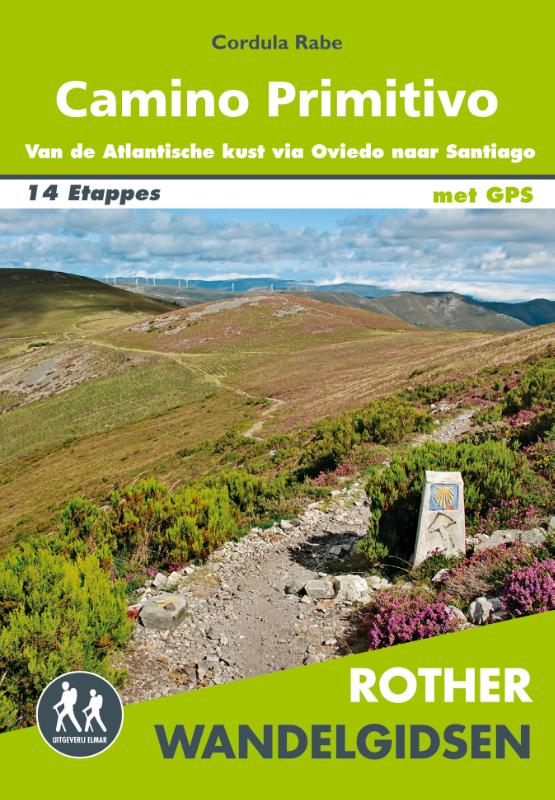
- Camino PrimitivoGPX
- GR1 Sendero Histórico, Senda TransversalGPX
- GR100 Ruta de la PlataGPX
- GR101 Camino Real de la MesaGPX
- GR102 Camino Real de Sellón
- GR105 Ruta de las PeregrinacionesGPX
- GR106 Ruta de San MelchorGPX
- GR108 Travesía AndariegaGPX
- GR200 Ruta de los Palacios
- GR201 Senda del ArcedianoGPX
- GR202 Ruta La ReconquistaGPX
- GR204 Senda CosteraGPX
Links
Fakten
Berichte
Führer und Karten
Übernachtung
Organisationen
Reisebüros
GPS
Sonstiges
Bücher

The Book Depository
United Kingdom
2019
United Kingdom
2019
- The Camino del Norte and Camino Primitivo
- To Santiago de Compostela and Finisterre from Irun or Oviedo Read more
- Also available from:
- De Zwerver, Netherlands
De Zwerver
Netherlands
2019
Netherlands
2019
- Wandelgids - Pelgrimsroute The Camino del Norte and Camino Primitivo | Cicerone
- Guidebook to walking the Camino del Norte and Camino Primitivo pilgrim routes to Santiago de Compostela in northwest Spain. The 817km Camino del Norte from Irún via Bilbao and Santander takes around 5 weeks to complete. The 355km Camino Primitivo takes about 2 weeks. Includes the Camino Finisterre from Santiago to the coast. Read more

The Book Depository
United Kingdom
United Kingdom


The Book Depository
United Kingdom
United Kingdom
- Also available from:
- Stanfords, United Kingdom

Stanfords
United Kingdom
United Kingdom
- Purbeck & South Dorset - Poole, Dorchester - Weymouth & Swanage OS Explorer Active Map OL15 (waterproof)
- Purbeck and the southern part of Dorset on a detailed topographic and GPS compatible map OL15, waterproof version, from the Ordnance Survey’s 1:25,000 Explorer series. Coverage extends from Poole and Swanage in the east to Bridport in the west, and includes Dorchester, Tolpuddle, Bere Regis, Wareham, Weymouth, Chesil Beach, Portland Bill, the... Read more

The Book Depository
United Kingdom
United Kingdom
- Guadeloupe & ses iles a pied
- La Guadeloupe et ses îles à pied, FFRP topo-guide Ref. No. D971, with 49 day walks of varying length and difficulty, plus coverage of the 65km-long GR1 across the mountains of the Basse Terre. The day walks include two on Marie-Galante, one on La Désirade, and two on Les Saintes islands. Each walk is presented on a separate colour extract from... Read more
- Also available from:
- Stanfords, United Kingdom
Stanfords
United Kingdom
United Kingdom
- La Guadeloupe et ses îles à pied
- La Guadeloupe et ses îles à pied, FFRP topo-guide Ref. No. D971, with 49 day walks of varying length and difficulty, plus coverage of the 65km-long GR1 across the mountains of the Basse Terre. The day walks include two on Marie-Galante, one on La Désirade, and two on Les Saintes islands. Each walk is presented on a separate colour extract from... Read more


The Book Depository
United Kingdom
2015
United Kingdom
2015
- Spain's Sendero Historico: The GR1
- Northern Spain - Picos to the Mediterranean Read more
- Also available from:
- De Zwerver, Netherlands
- Stanfords, United Kingdom

De Zwerver
Netherlands
2015
Netherlands
2015
- Wandelgids Spain's Sendero Historico: the GR1 | Cicerone
- Guidebook to the 1250km of Spain's Sendero Historico (GR1), traversing northern Spain from Puerto de Tarna in the province of Leon in the west to the Mediterranean near L'Escala in Catalonia, through fascinating, varied landscapes and the foothills of the Pyrenees. Described in 53 stages, about 25km each in length, with detailed mapping. Read more

Stanfords
United Kingdom
2015
United Kingdom
2015
- Spain`s Sendero Historico: The GR1: Northern Spain - Picos to the Mediterranean
- The Sendero Historico (the GR1) is a 1,250km long-distance path that takes you from Puerto de Tarna, on the border of Asturias and Castilla y León, east along the southern flank of the Cantabrian Mountains and the foothills of the Pyrenees before finishing on the Mediterranean coast near L`Escala.This walking guide splits the route that... Read more

The Book Depository
United Kingdom
United Kingdom

The Book Depository
United Kingdom
2022
United Kingdom
2022
- Camino Primitivo
- Oviedo to Santiago on Spain's Original Way Read more
- Also available from:
- De Zwerver, Netherlands
De Zwerver
Netherlands
2022
Netherlands
2022
- Wandelgids Camino Primitivo | Village to Village Press
- Oviedo to Santiago on Spain's Original Way Read more

Weitere Bücher…
Karten

De Zwerver
Netherlands
Netherlands
- Pelgrimsroute (kaart) - Wandelkaart Camino de Santiago in Spanje | CNIG - Instituto Geográfico Nacional
- All roads leading to Santiago de Compostela in the Iberian Peninsula are represented on this Caminos de Santiago / The Way of St. James Map. Routes highlighted on a physical map of the Iberian Peninsula at 1:1,250,000 from IGN/CNIG, Spain civilian topographic survey organization. The base map with altitude colouring and relief shading provides... Read more
- Also available from:
- Stanfords, United Kingdom

Stanfords
United Kingdom
United Kingdom
- Caminos de Santiago / Ways of St. James on the Iberian Peninsula CNIG Overview Map
- All roads leading to Santiago de Compostela in the Iberian Peninsula are represented on this Caminos de Santiago / The Way of St. James Map. Routes highlighted on a physical map of the Iberian Peninsula at 1:1,250,000 from IGN/CNIG, Spain civilian topographic survey organization. The base map with altitude colouring and relief shading provides... Read more
De Zwerver
Netherlands
Netherlands
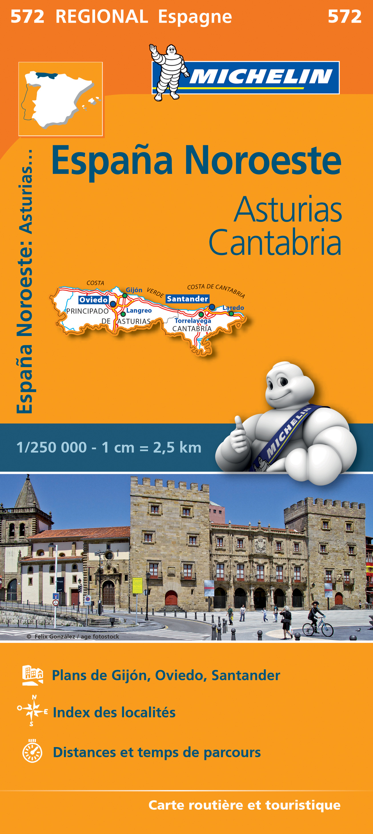
- Wegenkaart - landkaart 572 Asturias - Cantabria - Oviedo - Santander | Michelin
- Une carte fiable pour parcourir les régions d'Europe Read more
De Zwerver
Netherlands
2021
Netherlands
2021
De Zwerver
Netherlands
Netherlands
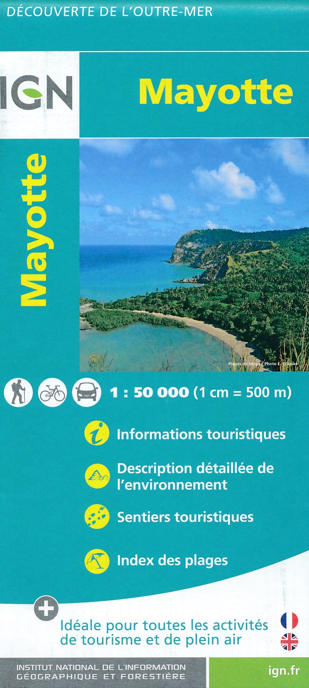
- Fietskaart - Wandelkaart Mayotte | IGN - Institut Géographique National
- MayotteLes cartes routières et touristiques de l?Outre-mer vous permettent de découvrir ces destinations exotiques. Read more
- Also available from:
- Stanfords, United Kingdom

Stanfords
United Kingdom
United Kingdom
- Mayotte IGN Map 84976
- Mayotte at 1:50,000 on a contoured and GPS compatible map from the IGN, with plans of Mazoudzou and Dzaoudzi, plus an index of beaches. Topography is shown by contours at 20m intervals with relief shading and spot heights, plus colouring and/or graphics for different types of vegetation. In the surrounding waters coral reefs are prominently... Read more

Stanfords
United Kingdom
United Kingdom
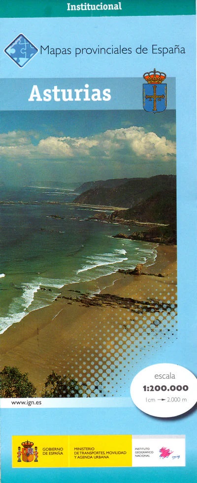
- Asturias Province 200K CNIG Map No. 5
- Contoured, GPS-compatible, indexed road map at 1:200,000 from CNIG - Spain’s civilian survey organization, with exceptionally informative presentation of the landscape and highlighting for facilities and places of interest including campsites and paradors.Maps in CNIG’s 200K Provincial Series provide an excellent picture the topography through... Read more

Stanfords
United Kingdom
2017
United Kingdom
2017
- Le Chemin du Piemont Pyreneen - vers Saint-Jacques-de-Compostell
- Le Chemin du Piémont Pyrénéen, FFRP topoguide, Ref. No. 780, covering the GR78 - the Way of St. James along the northern side of the Pyrenees from Carcassonne to Roncesvalles on the Spanish side, with an alternative variant to cross the mountains along the Col du Somport. Current edition of this title was published in May 2017.The route, the... Read more

Stanfords
United Kingdom
United Kingdom
- Alto Sil
- Alto Sil area in the Cordillera Cantabrica on the border of Asturias and León on a detailed, contoured, GPS compatible map at 1:50,000 from Calecha highlighting numerous waymarked hiking trails, various types of tourist accommodation, etc.Cartographic information is based on the Spanish military survey, with contour lines at 20m intervals, plus... Read more