
Belgien
Beschreibung
 This small kingdom has some surprisingly lovely landscapes. The Wallonian Ardennes region in the southeast is most famous among hikers, with its densely wooded river valleys and farm lands higher up on the undulating plateaus. In the northeast are the mysterious Hautes Fagnes, an upland plain of peat moors, partly in the Ardennes and partly in the Eifel region, and now a nature reserve that offers stunning beauty in all seasons. The north and west of Belgium, known as Flanders, is mostly low flat countryside, but nonetheless traversed by a myriad of long distance hiking trails, some of which lead through historic towns like Bruges and Ghent.
The majority of Belgian long distance hiking trails are known as GR's, a conveniently bi-lingual abbreviation of Grande Randonnees (French) or Grote Routepaden (Dutch). European long distance trails E2, E3 and E9 all lead through Belgium, and coincide with GR's.
Along the GR's, small hotels, B&B's and camping sites can be found in almost every village or town. Walking Belgium is a fun experience, frequently taking you back in time to what appears to be some older version of Europe. The often somewhat ramshackle towns, quaint shops and cafe's, old-fashioned politeness, excellent food and beer, there is simply no hurry to modernize, just live for the moment.
Karte


Wanderwege
- DijlelandGPX
- E2GPX
- E3GPX
- E9GPX
- GB - Gaume Buissonière
- GR12 - Amsterdam - ParisGPX
- GR121 - Wavre - BoulogneGPX
- GR122 - ScheldelandGPX
- GR123 - Tour du Hainaut occidentalGPX
- GR125 - Tour de l'Entre-Sambre-et-MeuseGPX
- GR126 - Brussel-Namen-Membre sur SamoisGPX
- GR128 - VlaanderenrouteGPX
- GR129 - Dwars door BelgiëGPX
- GR130 - IJzerGPX
- GR131 - Kreken - IeperboogGPX
- GR14 - Sentier de l'ArdenneGPX
- GR15 - AE - Ardennes-EifelGPX
- GR16 - Sentier de la SemoisGPX
- GR412 - Sentier des TerrilsGPX
- GR5GPX
- GR512 - Vlaams BrabantGPX
- GR56 - Hautes Fagnes - EifelGPX
- GR561 - Kempen-MaaspadGPX
- GR563 - Tour du Pays de HerveGPX
- GR564 - Kempen - CondrozGPX
- GR565 - Renier SniederspadGPX
- GR57 - Vallée de l'OurtheGPX
- GR570 - Pays des Trois FrontièresGPX
- GR571 - Vallées des LégendesGPX
- GR573 - Hautes FagnesGPX
- GR575 - Tour du Condroz NamuroisGPX
- GR576 - Tour du Condroz LiégeoisGPX
- GR577 - Tour de la FamenneGPX
- GR579 - Brussels - LiègeGPX
- GR5a - Wandelronde van VlaanderenGPX
- GrenslandpadGPX
- Groene GordelGPX
- HagelandGPX
- HeuvellandGPX
- KempenGPX
- Kempen-BroekGPX
- Mol OmGPX
- ReynaertlandGPX
- Rhine-Meuse Trail
- Santiago de Compostela Pilgrims WayGPX
- Tour de la Vesdre
- Tour du Brabant WallonGPX
- Transardense Route
- UilenspiegelpadGPX
- Via ArduinnaGPX
- Via BrabanticaGPX
- Via BrugensisGPX
- Via Gallia BelgicaGPX
- Via LimburgicaGPX
- Via MonasticaGPX
- Via MosanaGPX
- Via Scaldea
- Via Thiérache
- Vlaamse ArdennenGPX
Regionen
Landesteile


Links
Fakten
Berichte
Führer und Karten
Übernachtung
Organisationen
Reisebüros
GPS
Sonstiges
Bücher
Netherlands
2015
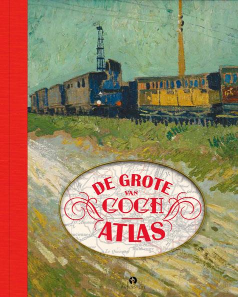
- Reisgids - Reisverhaal De grote Van Gogh atlas | Nienke Denekamp, René van Blerk
- Vincent van Gogh leefde in een spannende tijd. De moderne wereld was volop in beweging door de opkomst van een wijdvertakt spoorwegnet in Europa. En Vincent bewoog mee! In De Grote Van Gogh Atlas volgen we Vincent langs alle dorpen en steden waar hij woonde. We zien hoe zijn wereld er in die tijd uitzag: van de landelijke rust op het platteland... Read more
Netherlands
2012
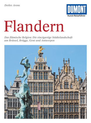
- Reisgids Kunstreiseführer Flandern | Dumont
- Der Namen Flandern gehört zu den glanzvollsten der europäischen Kulturgeschichte. Er steht für eine Städtelandschaft, die auf dem Kontinent ihresgleichen nicht hat: mit Brügge als historischem Zentrum, mit Gent und Antwerpen, die große Vergangenheit und dynamische Gegenwart eindrucksvoll verbinden. Kaum dahinter zurück stehen Löwen und Mecheln,... Read more

Netherlands
2018
- Reisgids Trotter België | Lannoo
- Veel aandacht voor praktische informatie als hotels en restaurants, maar ook, soms wat beperkte beschrijvingen van bezienswaardigheden. Handig zijn de vele plattegronden: verrassend en verfrissend geschreven! Trotter is een originele serie reisgidsen met een eigen mening en persoonlijkheid. Trotter houdt geen clichés in stand, maar biedt de... Read more

Netherlands
2020

Netherlands
2015
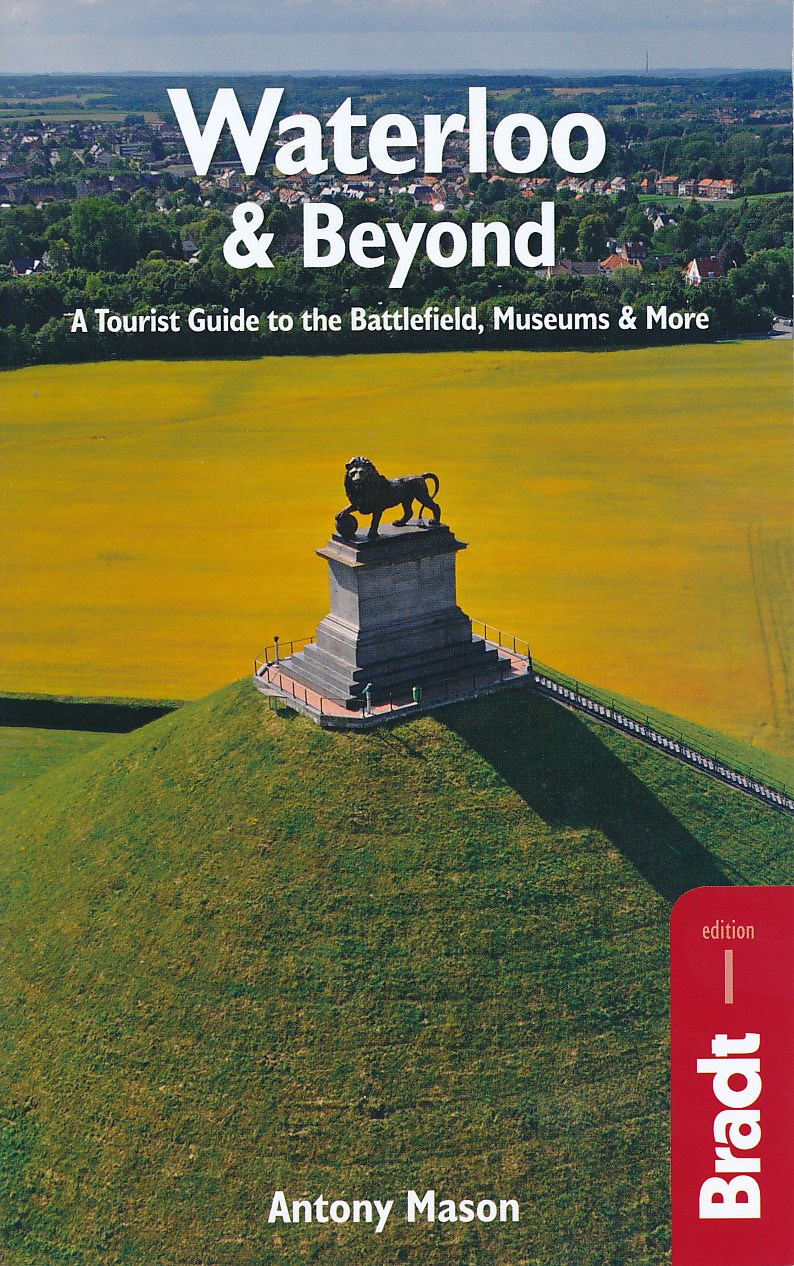
- Reisgids Waterloo & Beyond | Bradt Travel Guides
- Two hundred years after the battle, the area around Waterloo is a lovely landscape of rolling farmland containing dozens of key sites, memorials and monuments to discover. But the Waterloo region offers far more than just a battlefield. A wealth of sights beckons the curious tourist, including the historic town of Nivelles with its towering... Read more
Netherlands
2015
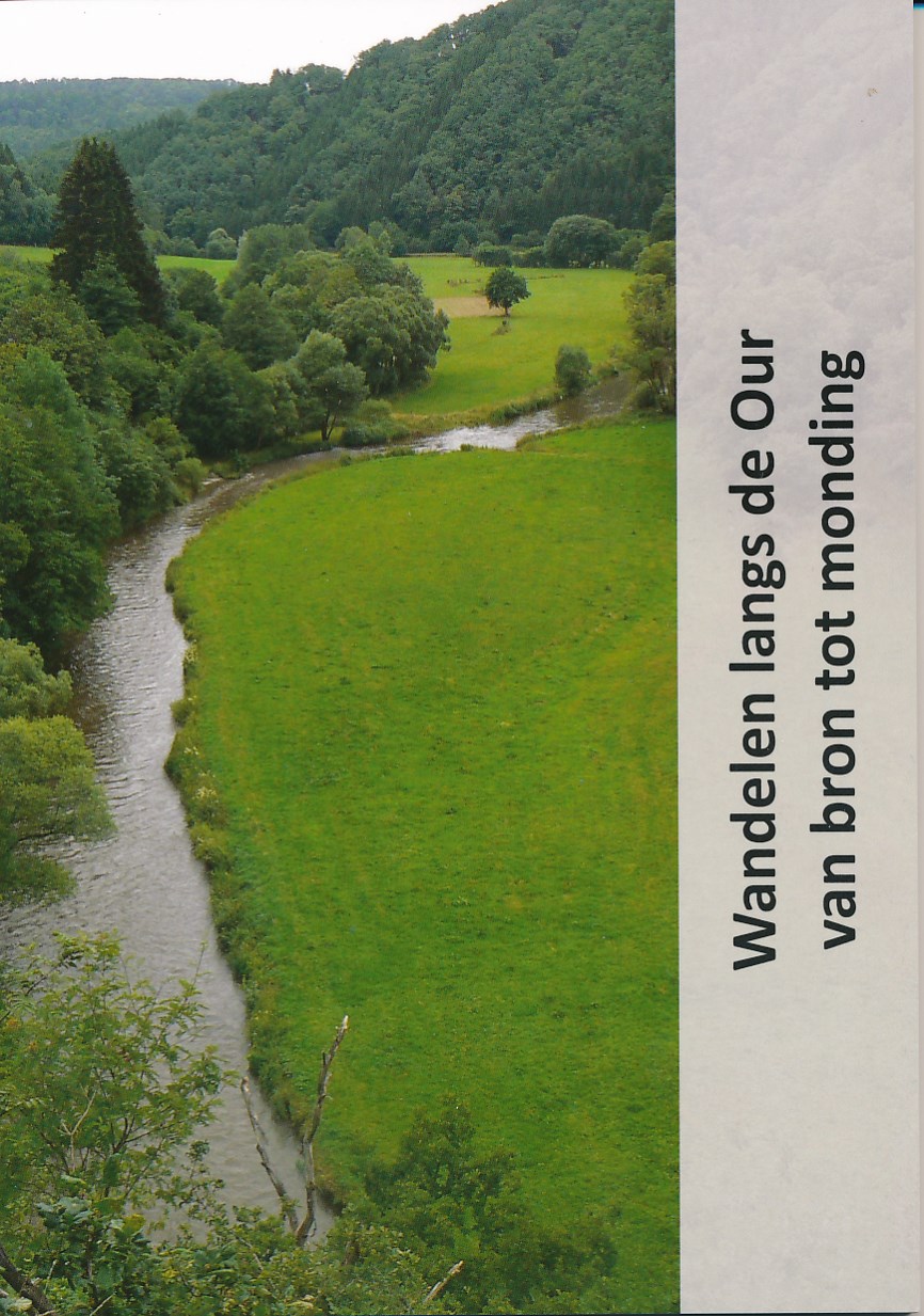
- Wandelgids Wandelen langs de Our van bron tot monding | Jan Veltkamp
- Het boekje (80 pagina's) Wandelen langs de Our van bron tot monding is uitgekomen. Meer dan 100 km wandelplezier door België (Oostkantons), Duitsland en Luxemburg. In de bijlage treft u een paar pagina's aan om een idee te krijgen hoe het boekje er uit ziet. Het formaat is 148 x 210 mm staand (A 5 formaat). De afwerking is genaaid gebrocheerd.... Read more
Netherlands
2018
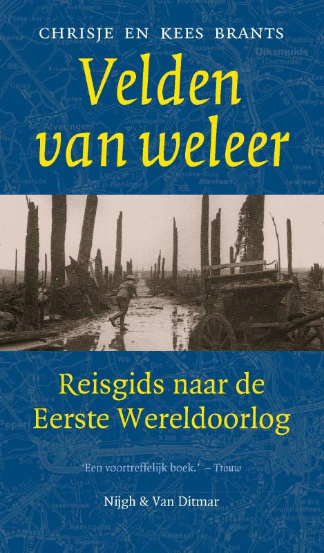
- Reisgids Velden van weleer | Nijgh & van Ditmar
- Velden van weleer, een onalledaagse reisgids, voert de reiziger langs de bizarre sporen van de Eerste Wereldoorlog. Routebeschrijvingen en detailkaarten wijzen de weg naar de resten van de strijd: forten, musea en loopgraven, bezienswaardigheden van een pijnlijk levend verleden. Maar Velden van weleer is vooral een gids naar de oorlog zelf en... Read more

Netherlands
2018
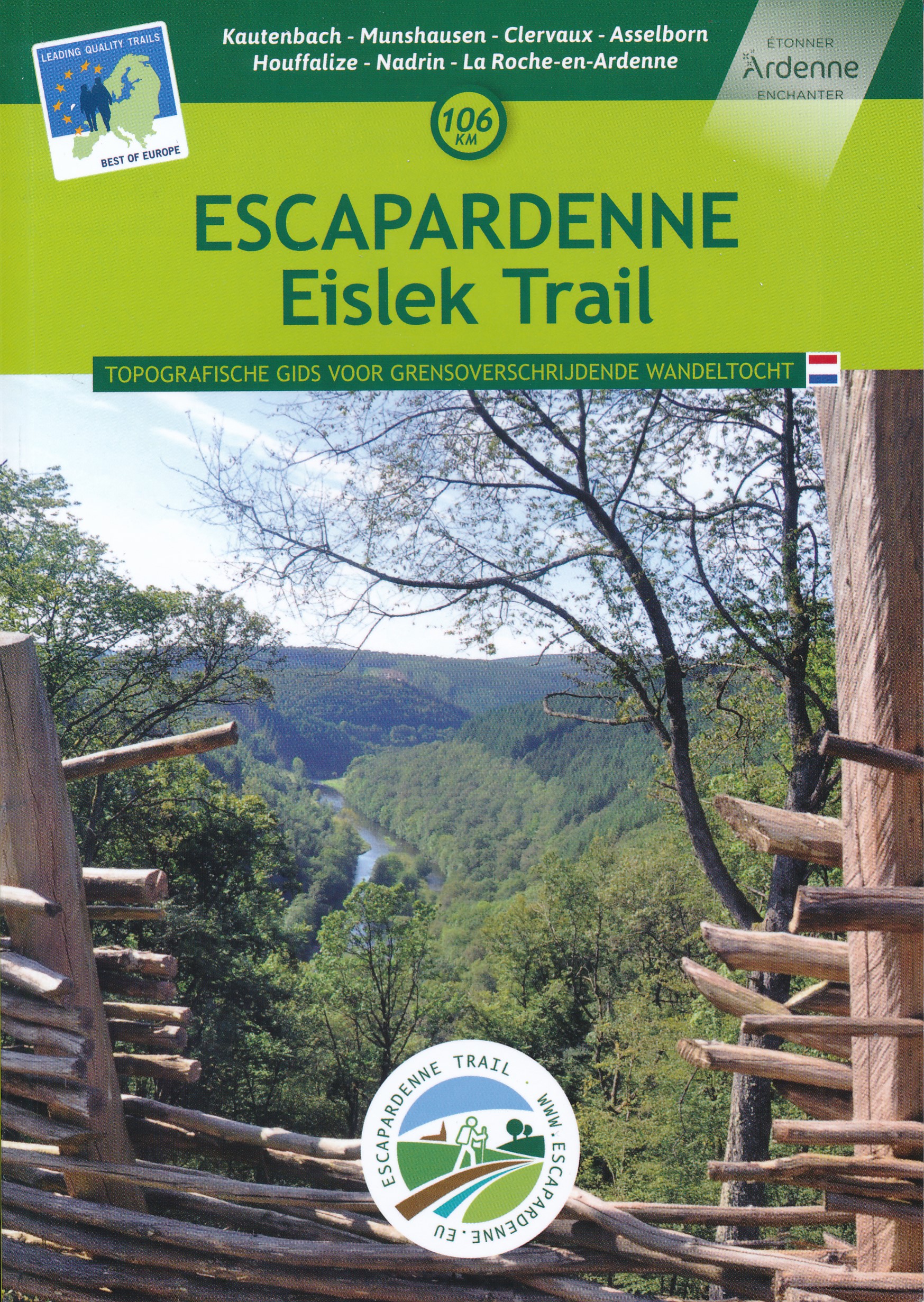
- Wandelgids Escarpardenne Eisleck Trail | Grande Traversee Ardennes
- Escapardenne Eisleck Trail loopt over 104 km van Kautenbach naar La-Roche-en-Ardenne door een schitterend deel van de Ardennen. Een nieuw langeafstandspad dat het Groothertogdom Luxemburg verbindt met de Waalse provincie Luxemburg. Grensoverschrijdend dus en niet alleen letterlijk! Dit is het eerste wandelpad in de Benelux dat werd ontworpen... Read more

Netherlands
2015
- Reisgids Praktisch Pelgrimeren | Nederlands Genootschap van Sint Jacob
- De pelgrimage naar de middeleeuwse stad Santiago de Compostela in Noordwest Spanje beleeft in onze tijd een ongekende herleving. Jaarlijks trekken vele tienduizenden te voet of per fiets, en een enkeling te paard, naar de veronderstelde begraafplaats van de apostel Jacobus de Meerdere. Ongeacht of men reist vanuit religieuze, spirituele,... Read more
Netherlands
2018
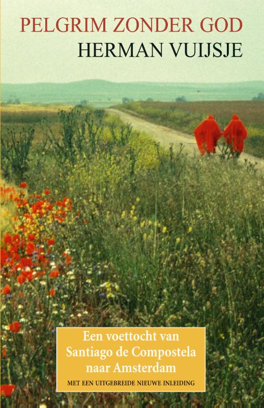
- Reisverhaal Pelgrim zonder God | Herman Vuijsje
- Bijna dertig jaar geleden, in 1989, legde Herman Vuijsje te voet de oude Sint-Jacobsroute af. Als athe�st en individualist verkoos hij de tocht alleen en in omgekeerde richting te maken: van Santiago de Compostela naar Amsterdam... Het boek dat hij over zijn tocht schreef is meer dan een reisverslag. De vier maanden durende wandeling van het nog s... Read more

Karten
Netherlands
- Also available from:
- Stanfords, United Kingdom

United Kingdom
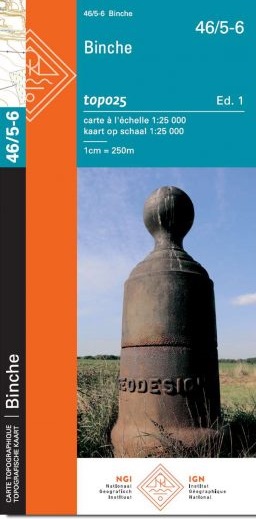
- Binche NGI Topo
- Topographical survey of Belgium at 1:20,000 from Nationaal Geografisch Instituut / Institut Géographique National, the country’s national survey organization. Each 20K map covers one quarter of the corresponding 1:50,000 map (with adjustments in the border and coastal areas). The maps provide all the information expected of topographic mapping... Read more
Netherlands
- Wandelkaart - Topografische kaart 13/7-8 Topo25 Zomergem | NGI - Nationaal Geografisch Instituut
- Topographical survey of Belgium at 1:20,000 from Nationaal Geografisch Instituut / Institut Géographique National, the country’s national survey organization. Each 20K map covers one quarter of the corresponding 1:50,000 map (with adjustments in the border and coastal areas). The maps provide all the information expected of topographic mapping... Read more
- Also available from:
- Stanfords, United Kingdom

United Kingdom
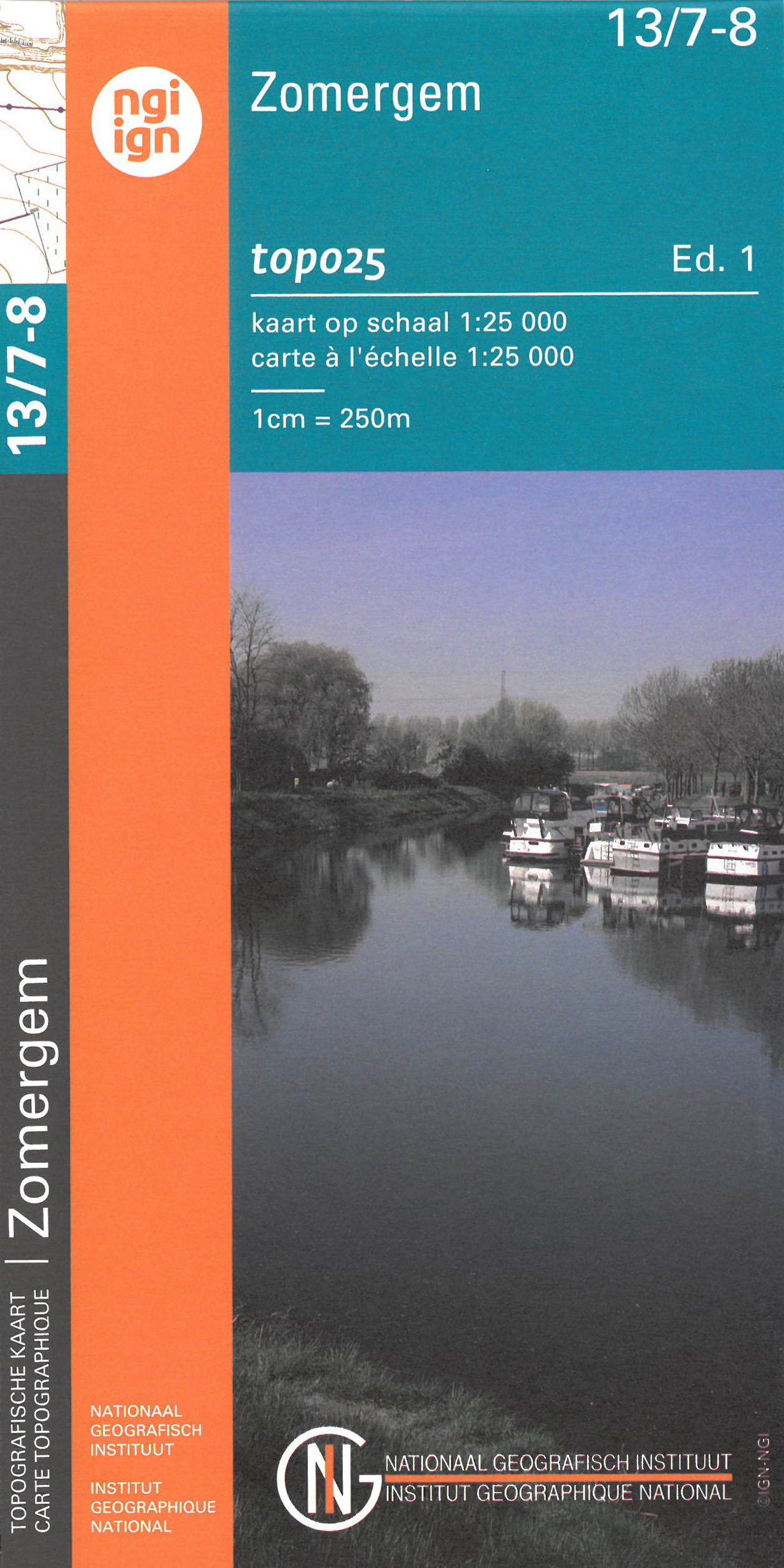
- Zomergem NGI Topo 13/7-8
- Topographical survey of Belgium at 1:20,000 from Nationaal Geografisch Instituut / Institut Géographique National, the country’s national survey organization. Each 20K map covers one quarter of the corresponding 1:50,000 map (with adjustments in the border and coastal areas). The maps provide all the information expected of topographic mapping... Read more
Netherlands
- Also available from:
- Stanfords, United Kingdom
United Kingdom
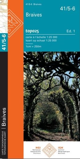
- Braives NGI Topo 41/5-6
- Topographical survey of Belgium at 1:20,000 from Nationaal Geografisch Instituut / Institut Géographique National, the country’s national survey organization. Each 20K map covers one quarter of the corresponding 1:50,000 map (with adjustments in the border and coastal areas). The maps provide all the information expected of topographic mapping... Read more
Netherlands
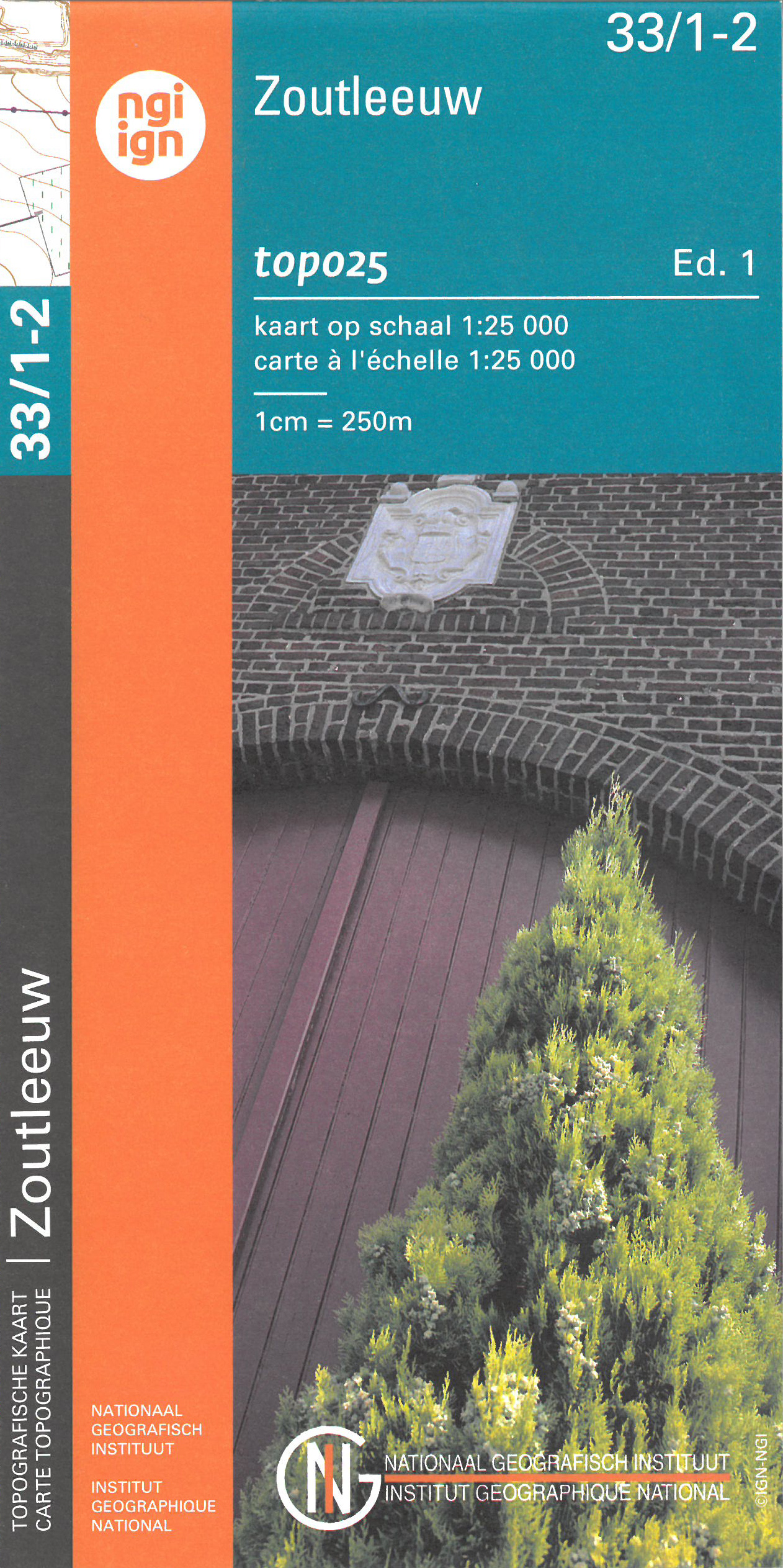
- Wandelkaart - Topografische kaart 33/1-2 Topo25 Zoutleeuw | NGI - Nationaal Geografisch Instituut
- Topographical survey of Belgium at 1:20,000 from Nationaal Geografisch Instituut / Institut Géographique National, the country’s national survey organization. Each 20K map covers one quarter of the corresponding 1:50,000 map (with adjustments in the border and coastal areas). The maps provide all the information expected of topographic mapping... Read more
- Also available from:
- Stanfords, United Kingdom

United Kingdom
- Zoutleeuw NGI Topo 33/1-2
- Topographical survey of Belgium at 1:20,000 from Nationaal Geografisch Instituut / Institut Géographique National, the country’s national survey organization. Each 20K map covers one quarter of the corresponding 1:50,000 map (with adjustments in the border and coastal areas). The maps provide all the information expected of topographic mapping... Read more
Netherlands
- Also available from:
- Stanfords, United Kingdom

United Kingdom
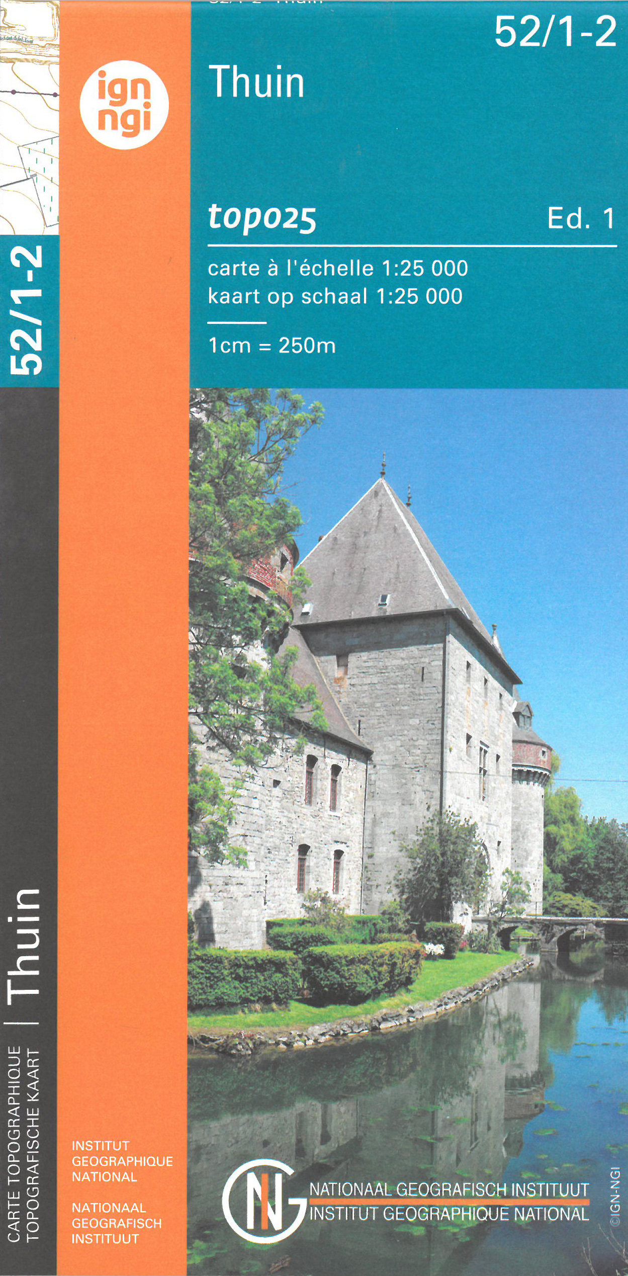
- Thuin NGI Topo 52/1-2
- Topographical survey of Belgium at 1:20,000 from Nationaal Geografisch Instituut / Institut Géographique National, the country’s national survey organization. Each 20K map covers one quarter of the corresponding 1:50,000 map (with adjustments in the border and coastal areas). The maps provide all the information expected of topographic mapping... Read more
Netherlands
- Wandelkaart - Topografische kaart 05/5-6 Zeebrugge - Knokke Heist - Het Zwin | NGI - Nationaal Geografisch Instituut
- Zeer gedetailleerde topografische kaart van een deel van Belgie. Deze kaart is bijzonder geschikt voor wandeltochten in met name het heuvelachtige gebied van de Ardennen. Wel moet u bedenken dat op deze kaarten wandelroutes als zodanig niet staan ingetekend. Voorzien van alle topografische details als hoogtelijnen, waterlopen, bosgebieden,... Read more
- Also available from:
- Stanfords, United Kingdom
United Kingdom
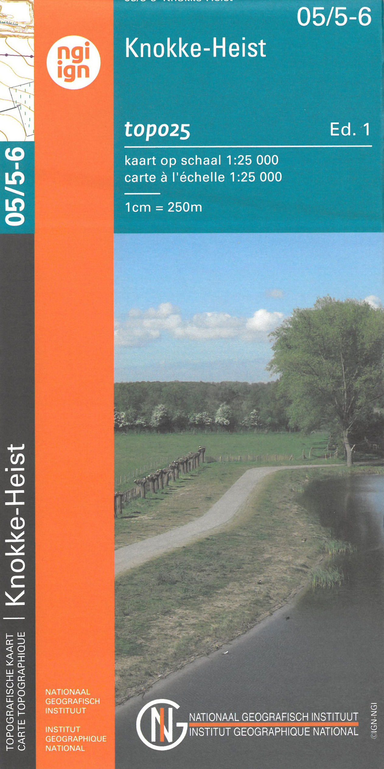
- Knokke-Heist NGI Topo 05/5-6
- Topographical survey of Belgium at 1:20,000 from Nationaal Geografisch Instituut / Institut Géographique National, the country’s national survey organization. Each 20K map covers one quarter of the corresponding 1:50,000 map (with adjustments in the border and coastal areas). The maps provide all the information expected of topographic mapping... Read more
Netherlands
- Also available from:
- Stanfords, United Kingdom
United Kingdom
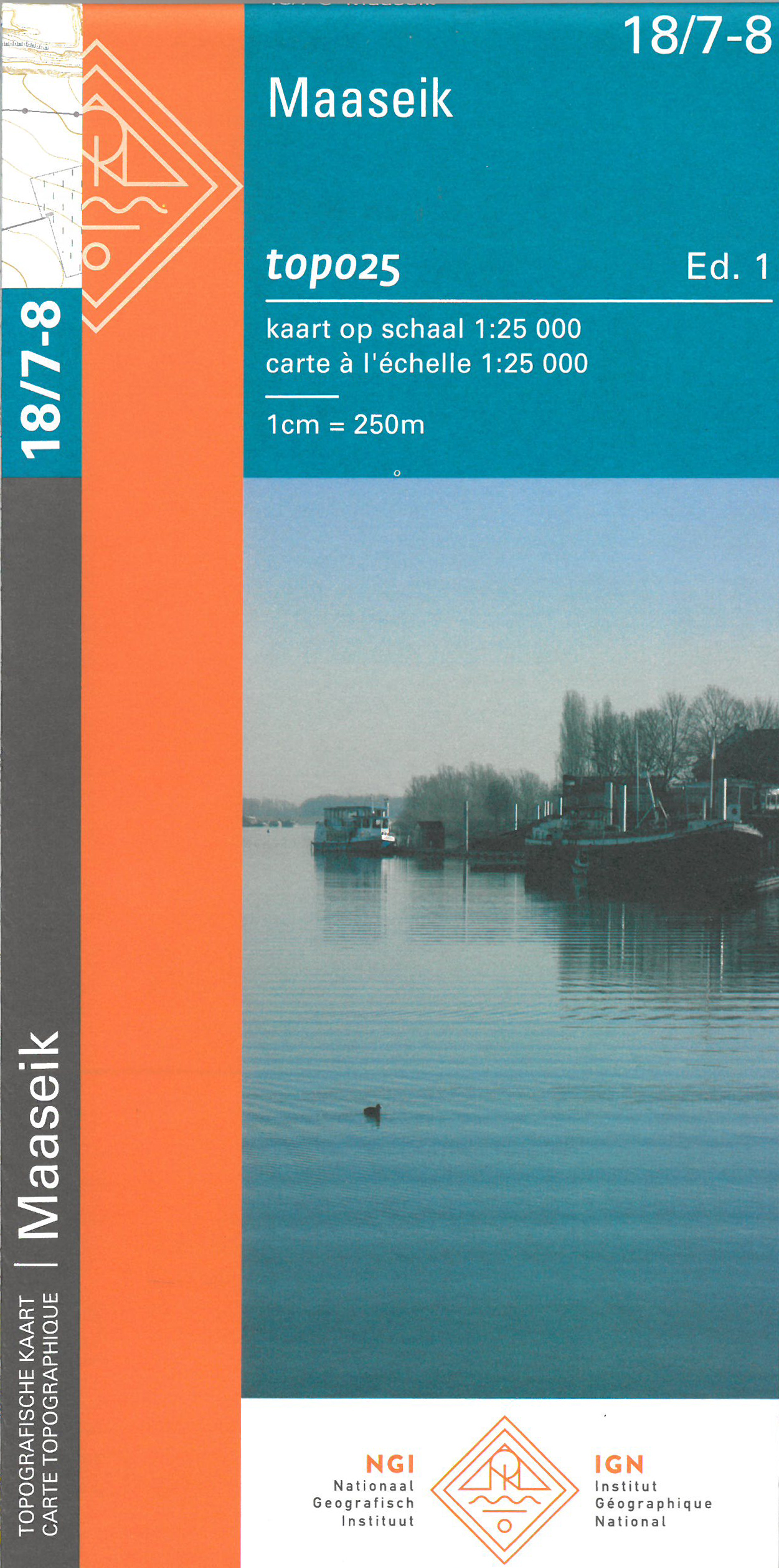
- Maaseik NGI Topo 18/7-8
- Topographical survey of Belgium at 1:20,000 from Nationaal Geografisch Instituut / Institut Géographique National, the country’s national survey organization. Each 20K map covers one quarter of the corresponding 1:50,000 map (with adjustments in the border and coastal areas). The maps provide all the information expected of topographic mapping... Read more
Netherlands
- Also available from:
- Stanfords, United Kingdom

United Kingdom
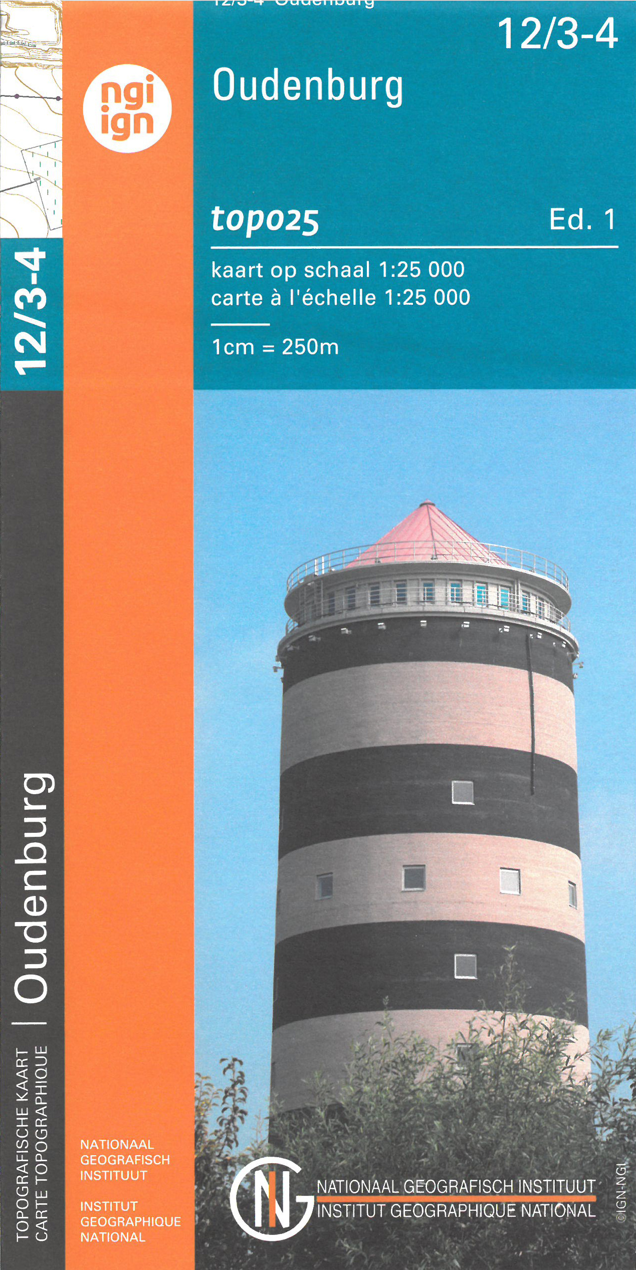
- Oudenburg NGI Topo 12/3-4
- Topographical survey of Belgium at 1:20,000 from Nationaal Geografisch Instituut / Institut Géographique National, the country’s national survey organization. Each 20K map covers one quarter of the corresponding 1:50,000 map (with adjustments in the border and coastal areas). The maps provide all the information expected of topographic mapping... Read more
Netherlands
- Also available from:
- Stanfords, United Kingdom
United Kingdom
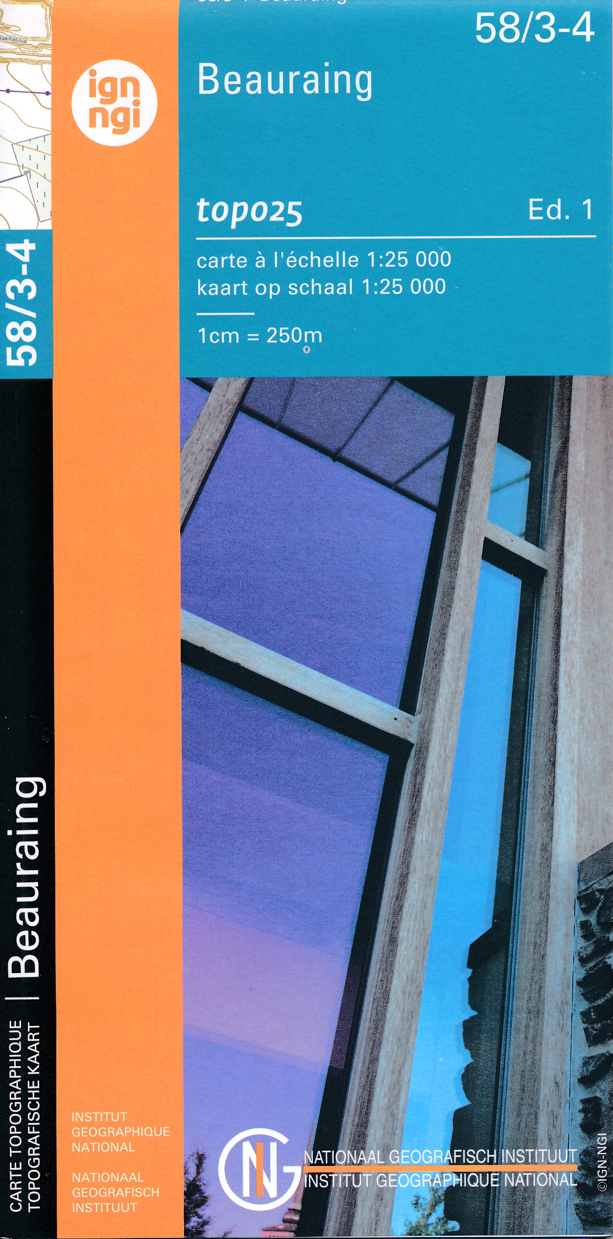
- Beauraing NGI Topo 58/3-4
- Topographical survey of Belgium at 1:20,000 from Nationaal Geografisch Instituut / Institut Géographique National, the country’s national survey organization. Each 20K map covers one quarter of the corresponding 1:50,000 map (with adjustments in the border and coastal areas). The maps provide all the information expected of topographic mapping... Read more
Netherlands
- Also available from:
- Stanfords, United Kingdom

United Kingdom
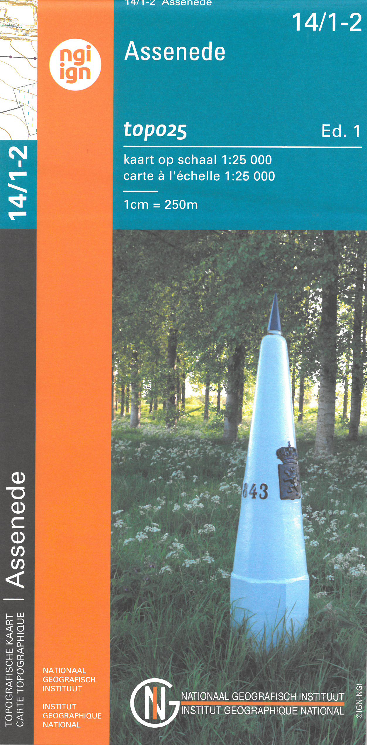
- Assenede NGI Topo 14/1-2
- Topographical survey of Belgium at 1:20,000 from Nationaal Geografisch Instituut / Institut Géographique National, the country’s national survey organization. Each 20K map covers one quarter of the corresponding 1:50,000 map (with adjustments in the border and coastal areas). The maps provide all the information expected of topographic mapping... Read more
Netherlands
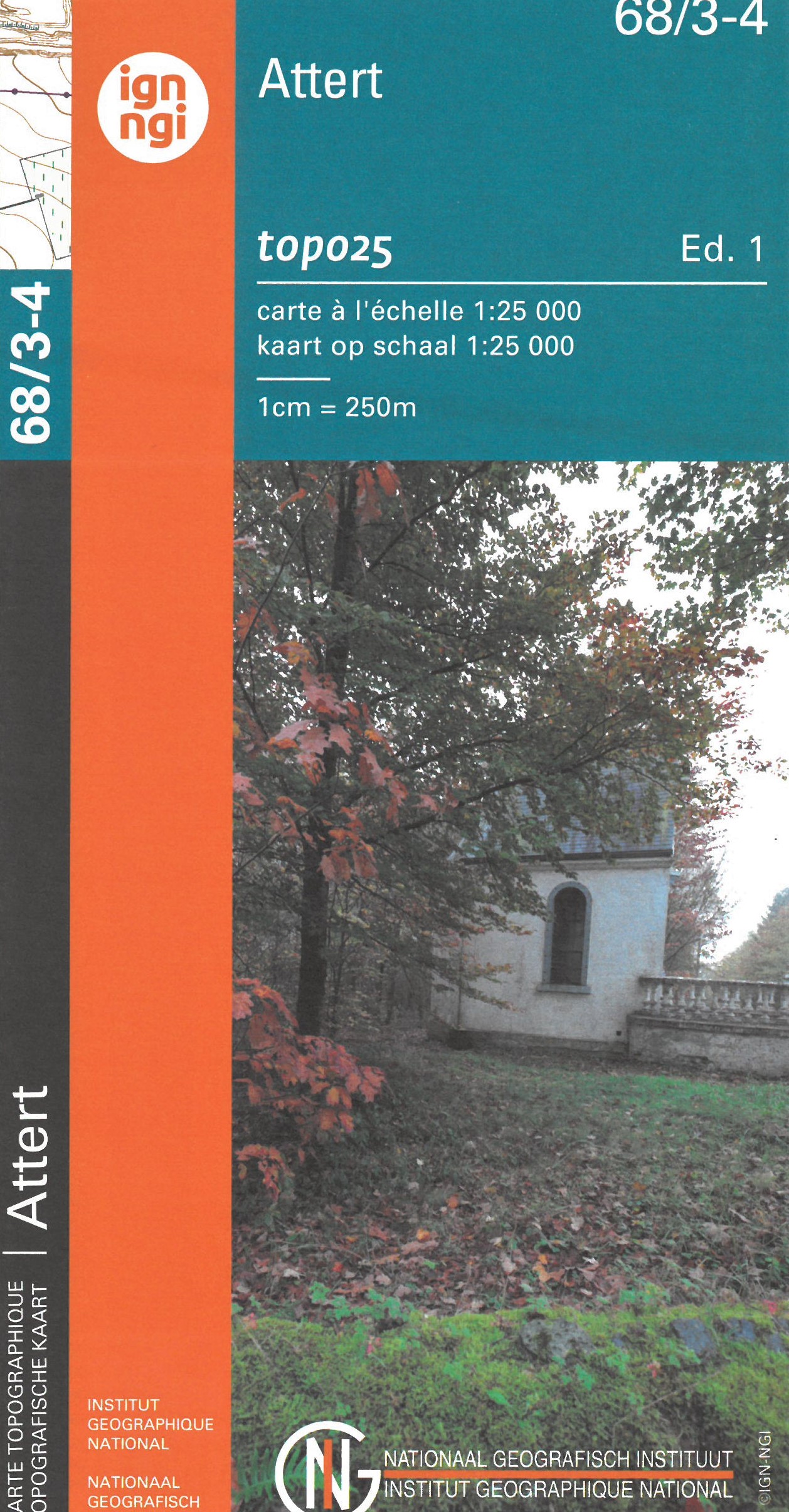
- Topografische kaart - Wandelkaart 68/3-4 Topo25 Attert | NGI - Nationaal Geografisch Instituut
- Topographical survey of Belgium at 1:20,000 from Nationaal Geografisch Instituut / Institut Géographique National, the country’s national survey organization. Each 20K map covers one quarter of the corresponding 1:50,000 map (with adjustments in the border and coastal areas). The maps provide all the information expected of topographic mapping... Read more
- Also available from:
- Stanfords, United Kingdom

United Kingdom
- Attert NGI Topo 68/3-4
- Topographical survey of Belgium at 1:20,000 from Nationaal Geografisch Instituut / Institut Géographique National, the country’s national survey organization. Each 20K map covers one quarter of the corresponding 1:50,000 map (with adjustments in the border and coastal areas). The maps provide all the information expected of topographic mapping... Read more
Netherlands
- Also available from:
- Stanfords, United Kingdom
United Kingdom
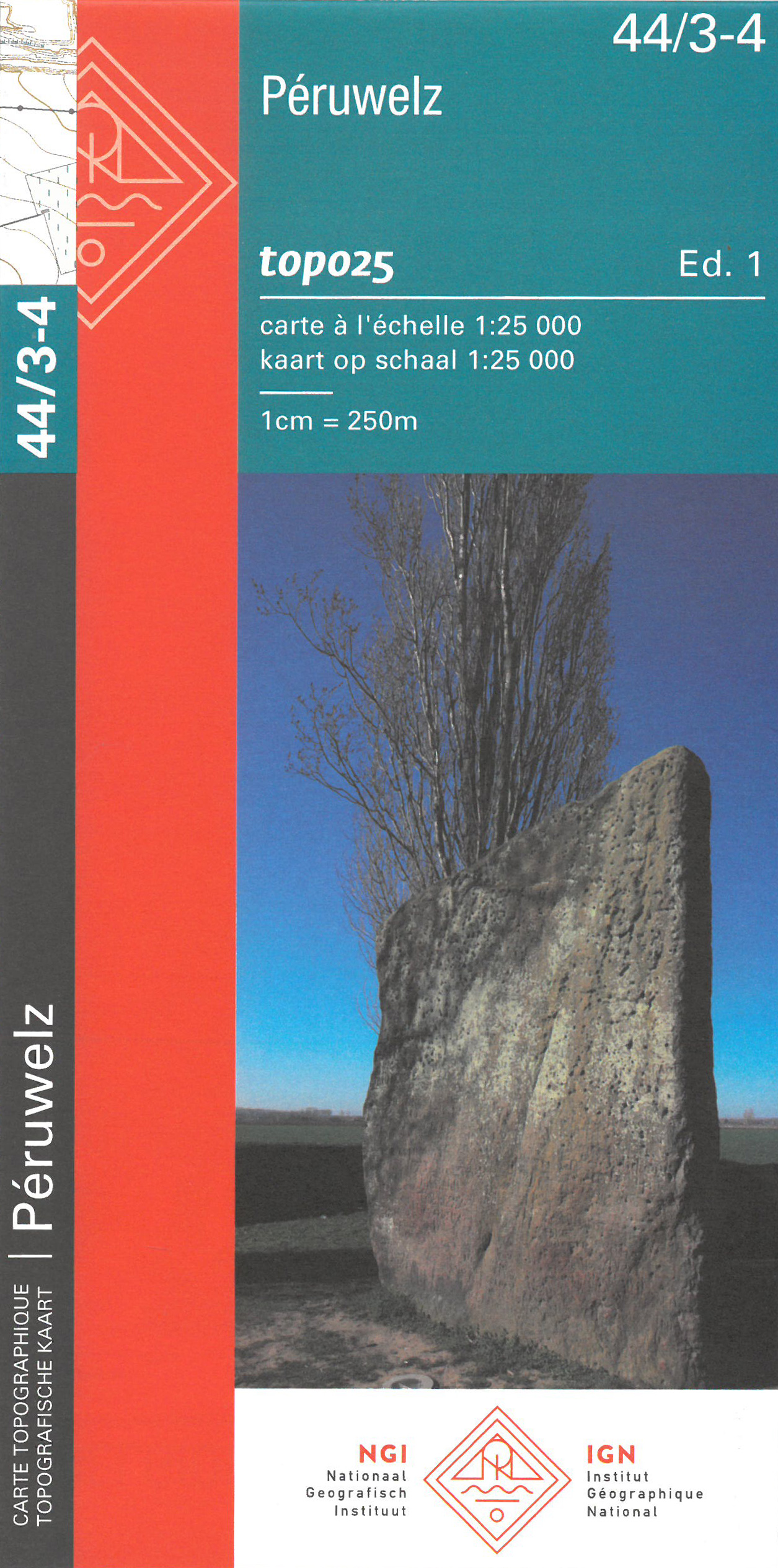
- Peruwelz NGI Topo 44/3-4
- Topographical survey of Belgium at 1:20,000 from Nationaal Geografisch Instituut / Institut Géographique National, the country’s national survey organization. Each 20K map covers one quarter of the corresponding 1:50,000 map (with adjustments in the border and coastal areas). The maps provide all the information expected of topographic mapping... Read more
Netherlands
- Wandelkaart - Topografische kaart 17/7-8 Topo25 Leopoldsburg - Peer - Hechtel - Eksel - Heppen | NGI - Nationaal Geografisch Instituut
- Topographical survey of Belgium at 1:20,000 from Nationaal Geografisch Instituut / Institut Géographique National, the country’s national survey organization. Each 20K map covers one quarter of the corresponding 1:50,000 map (with adjustments in the border and coastal areas). The maps provide all the information expected of topographic mapping... Read more
- Also available from:
- Stanfords, United Kingdom

United Kingdom
- Hechtel-Eksel NGI Topo 17/7-8
- Topographical survey of Belgium at 1:20,000 from Nationaal Geografisch Instituut / Institut Géographique National, the country’s national survey organization. Each 20K map covers one quarter of the corresponding 1:50,000 map (with adjustments in the border and coastal areas). The maps provide all the information expected of topographic mapping... Read more
Netherlands
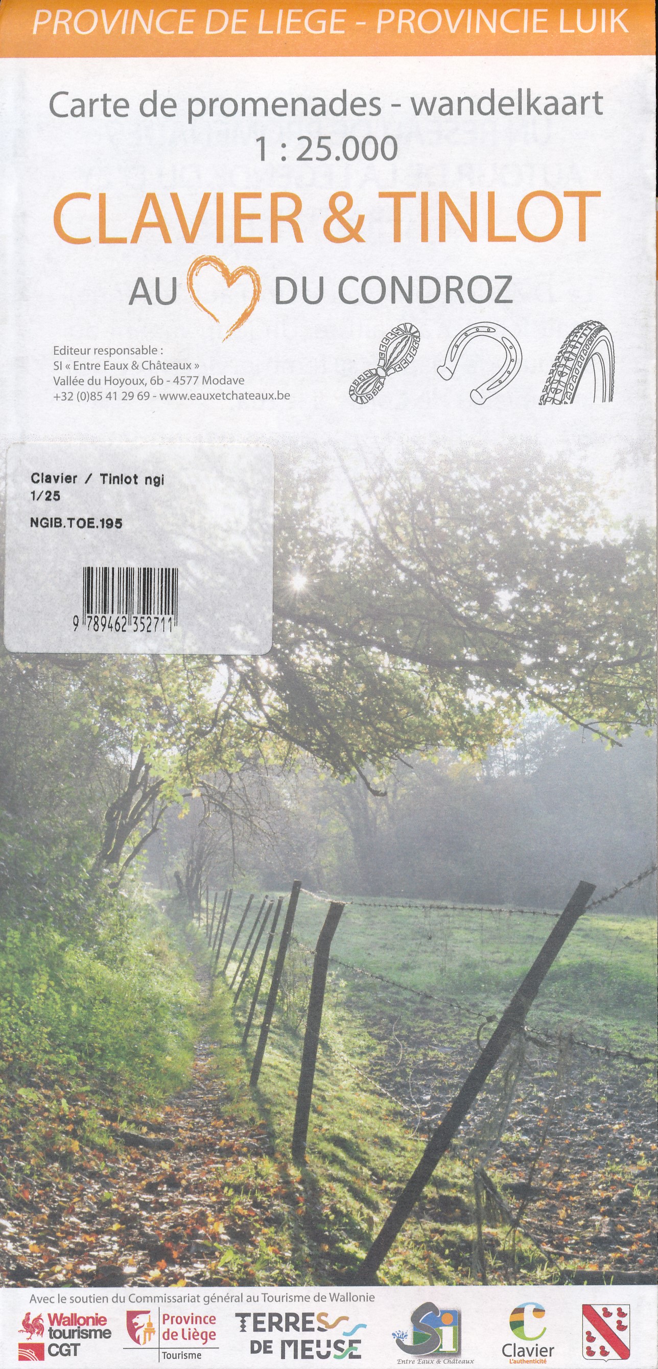
- Wandelkaart 195 Clavier en Tinlot, Condroz | NGI - Nationaal Geografisch Instituut
- Clavier is een gemeente in de Belgische provincie Luik. Het bestaat uit Clavier, Bois-et-Borsu, Les Avins, Ocquier, Pailhe en Terwagne. De regio staat bekend voor zijn rust en omgeving. De wandelroutes in deze regio zijn evenmin moeilijk noch zijn ze zwaar. De lengte van sommige routes zijn steeds aan te passen naar eigen wens. Gedetailleerde... Read more
Netherlands
- Also available from:
- Stanfords, United Kingdom
United Kingdom
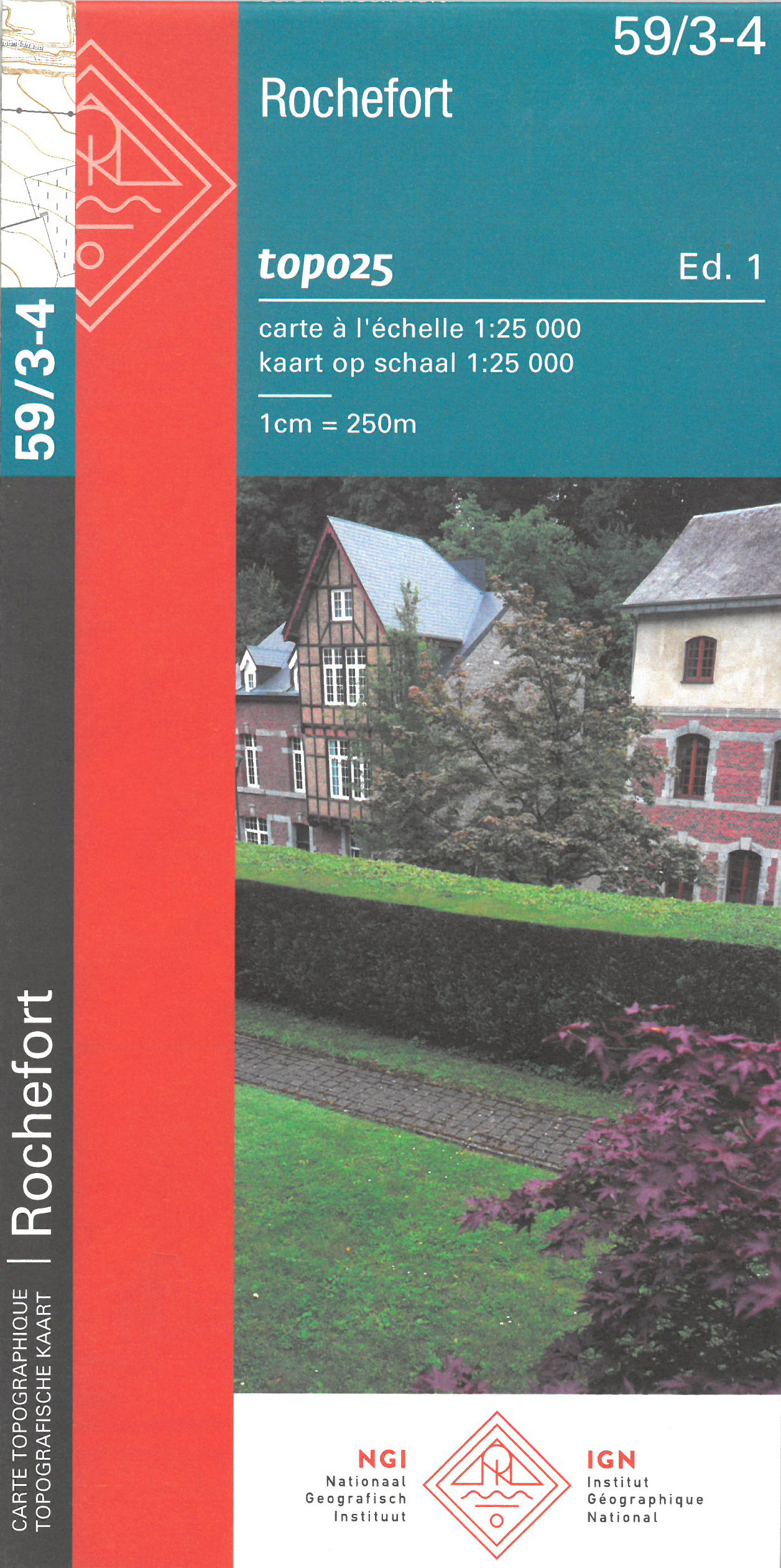
- Rochefort NGI Topo 59/3-4
- Topographical survey of Belgium at 1:20,000 from Nationaal Geografisch Instituut / Institut Géographique National, the country’s national survey organization. Each 20K map covers one quarter of the corresponding 1:50,000 map (with adjustments in the border and coastal areas). The maps provide all the information expected of topographic mapping... Read more