
Limousin
Beschreibung

The Limousin is a rural, quiet region in the midwest of France.
Karte

Wanderwege Region
Links
Fakten
Berichte
Führer und Karten
Übernachtung
Organisationen
Reisebüros
GPS
Sonstiges
Bücher


- Also available from:
- De Zwerver, Netherlands
De Zwerver
Netherlands
2022
Netherlands
2022
De Zwerver
Netherlands
2023
Netherlands
2023

De Zwerver
Netherlands
2015
Netherlands
2015
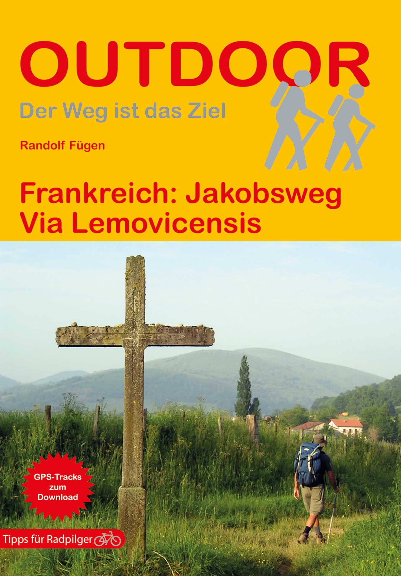
- Wandelgids 6543 Sentier vers Saint-Jacques-de-Compostelle via Vezelay : Périgueux - Roncevaux - GR654 | FFRP
- Guide FFRandonnée Sentier vers St-Jacques-de-Compostelle : Périgueux-Ronceveaux. GR 654. Voie de Vézelay vers Compostelle : suite de l'itinéraire décrit dans le topo-guide réf. 6542 'Sentier vers St-Jacques-de-Compostelle : Vézelay-Périgueux'.Passé le seuil du Périgord blanc,... Read more
De Zwerver
Netherlands
2019
Netherlands
2019
De Zwerver
Netherlands
2021
Netherlands
2021

Stanfords
United Kingdom
2011
United Kingdom
2011
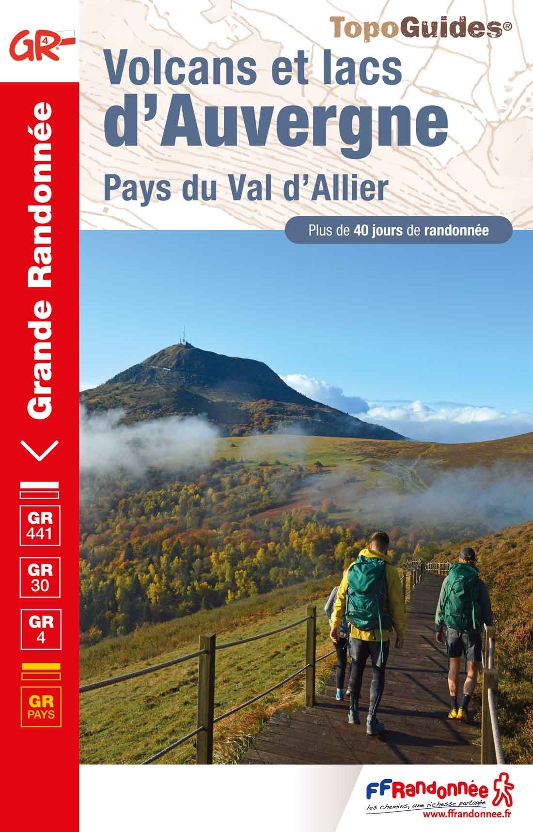
- Le Parc de Millevaches en Limousin à pied FFRP Topo-guide No. PN17
- Le Parc de Millevaches en Limousin à pied, topo-guide Ref. No. PN017, with 18 day walks of varying length and difficulty, plus 270kms of hiking circuits in the department of Creuse. Current edition of this title was published in March 2011.To see the list of other FFRP guides with day walks please click on the series link.ABOUT THE FFRP... Read more
Bol.com
Netherlands
Netherlands
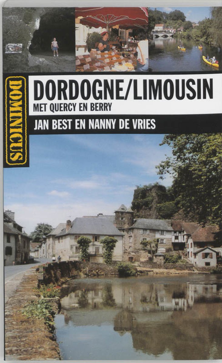
- Dominicus Dordogne / Limousin
- In de Limousin, Berry, Dordogne en Quercy zijn het boerenland en de natuur bepalend en is het weldadig rustig. Een enkel meer en tal van meertjes bieden volop koelte op hete dagen. In avontuurlijke boomparken testen jong en oud hun behendigheid, op de spoorfiets gaat de picknick mee en vanzelfsprekend zijn er voor de hikers zowel grandes als... Read more
- Also available from:
- Bol.com, Belgium
Bol.com
Belgium
Belgium
- Dominicus Dordogne / Limousin
- In de Limousin, Berry, Dordogne en Quercy zijn het boerenland en de natuur bepalend en is het weldadig rustig. Een enkel meer en tal van meertjes bieden volop koelte op hete dagen. In avontuurlijke boomparken testen jong en oud hun behendigheid, op de spoorfiets gaat de picknick mee en vanzelfsprekend zijn er voor de hikers zowel grandes als... Read more
Karten

- Also available from:
- De Zwerver, Netherlands
- Stanfords, United Kingdom
.jpg)
De Zwerver
Netherlands
Netherlands


- Also available from:
- De Zwerver, Netherlands

- Also available from:
- De Zwerver, Netherlands

- Also available from:
- De Zwerver, Netherlands

- Also available from:
- De Zwerver, Netherlands

The Book Depository
United Kingdom
United Kingdom
- Montauban / Albi
- Map No. 161, Albi - Montauban at 1:100,000, part of the TOP100 series from the Institut G Read more

- Also available from:
- De Zwerver, Netherlands
- Stanfords, United Kingdom
De Zwerver
Netherlands
Netherlands


- Also available from:
- Stanfords, United Kingdom

Stanfords
United Kingdom
United Kingdom
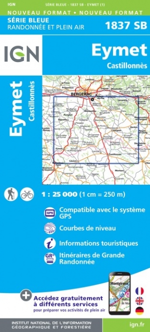
- Les Eyzies-de-Tayac-Sireuil - Vallees de la Dordogne et de la Vezere IGN 1936ET
- Topographic survey of France at 1:25,000 in IGN`s excellent TOP25 / Série Bleue series. All the maps are GPS compatible, with a 1km UTM grid plus latitude and longitude lines at 5’ intervals. Contours are at 5m intervals except for mountainous areas where the maps have contours at 10m intervals, vividly enhanced by hill shading and graphics for... Read more

- Also available from:
- De Zwerver, Netherlands

- Also available from:
- De Zwerver, Netherlands
- Stanfords, United Kingdom
De Zwerver
Netherlands
Netherlands


- Also available from:
- De Zwerver, Netherlands

- Also available from:
- De Zwerver, Netherlands

- Also available from:
- De Zwerver, Netherlands
- Stanfords, United Kingdom
De Zwerver
Netherlands
Netherlands

Stanfords
United Kingdom
United Kingdom
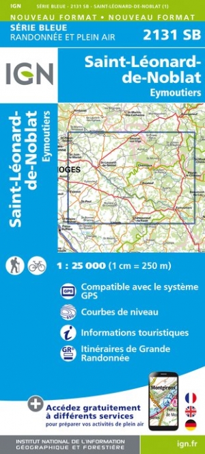
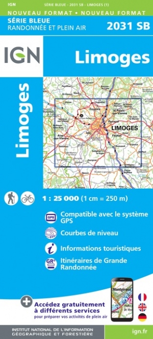
- Limoges IGN 2031SB
- Topographic survey of France at 1:25,000 in IGN`s excellent TOP25 / Série Bleue series. All the maps are GPS compatible, with a 1km UTM grid plus latitude and longitude lines at 5’ intervals. Contours are at 5m intervals except for mountainous areas where the maps have contours at 10m intervals, vividly enhanced by hill shading and graphics for... Read more

- Also available from:
- De Zwerver, Netherlands
- Stanfords, United Kingdom
De Zwerver
Netherlands
Netherlands

Stanfords
United Kingdom
United Kingdom
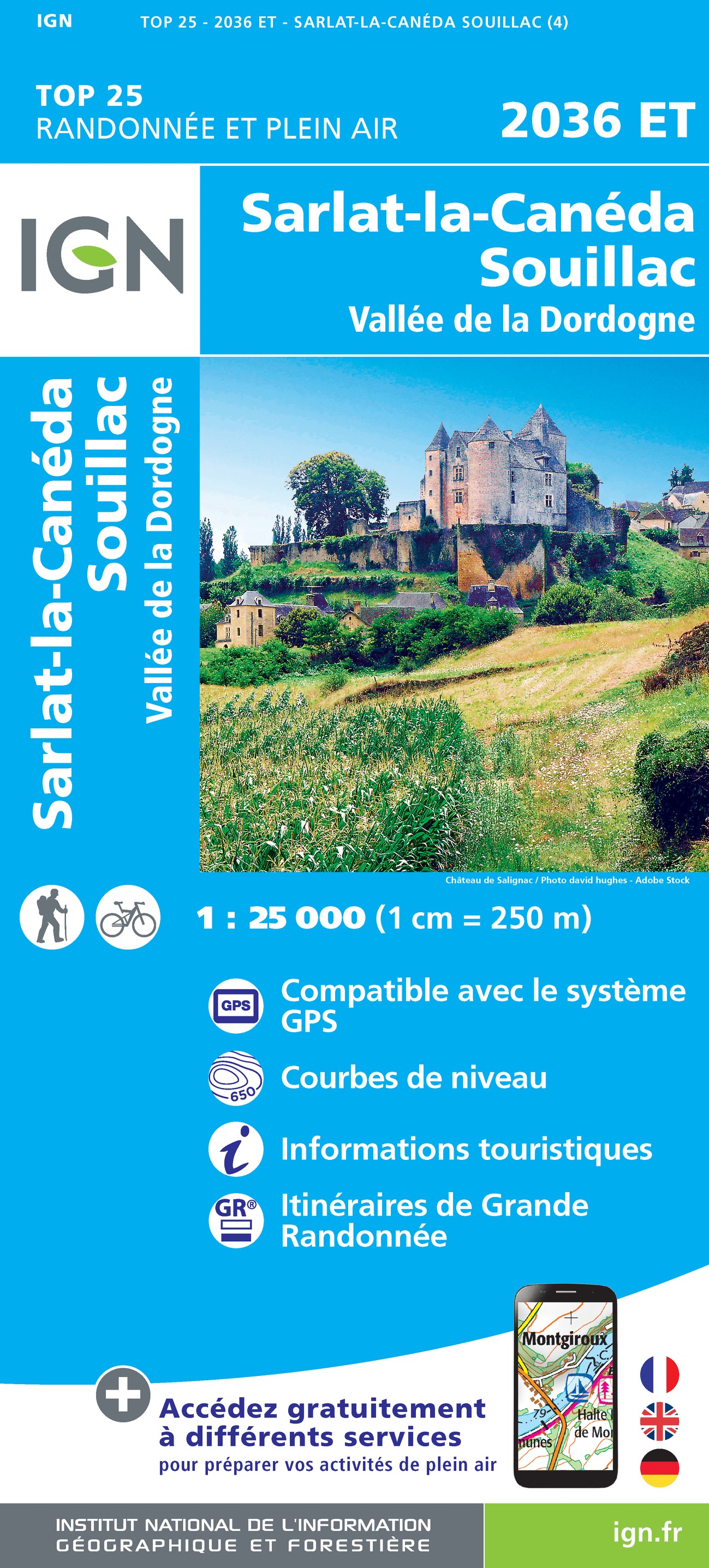
- Sarlat-la-Caneda - Souillac - Vallee de la Dordogne IGN 2036ET
- Topographic survey of France at 1:25,000 in IGN`s excellent TOP25 / Série Bleue series. All the maps are GPS compatible, with a 1km UTM grid plus latitude and longitude lines at 5’ intervals. Contours are at 5m intervals except for mountainous areas where the maps have contours at 10m intervals, vividly enhanced by hill shading and graphics for... Read more

- Also available from:
- De Zwerver, Netherlands
- Stanfords, United Kingdom
De Zwerver
Netherlands
Netherlands

Stanfords
United Kingdom
United Kingdom
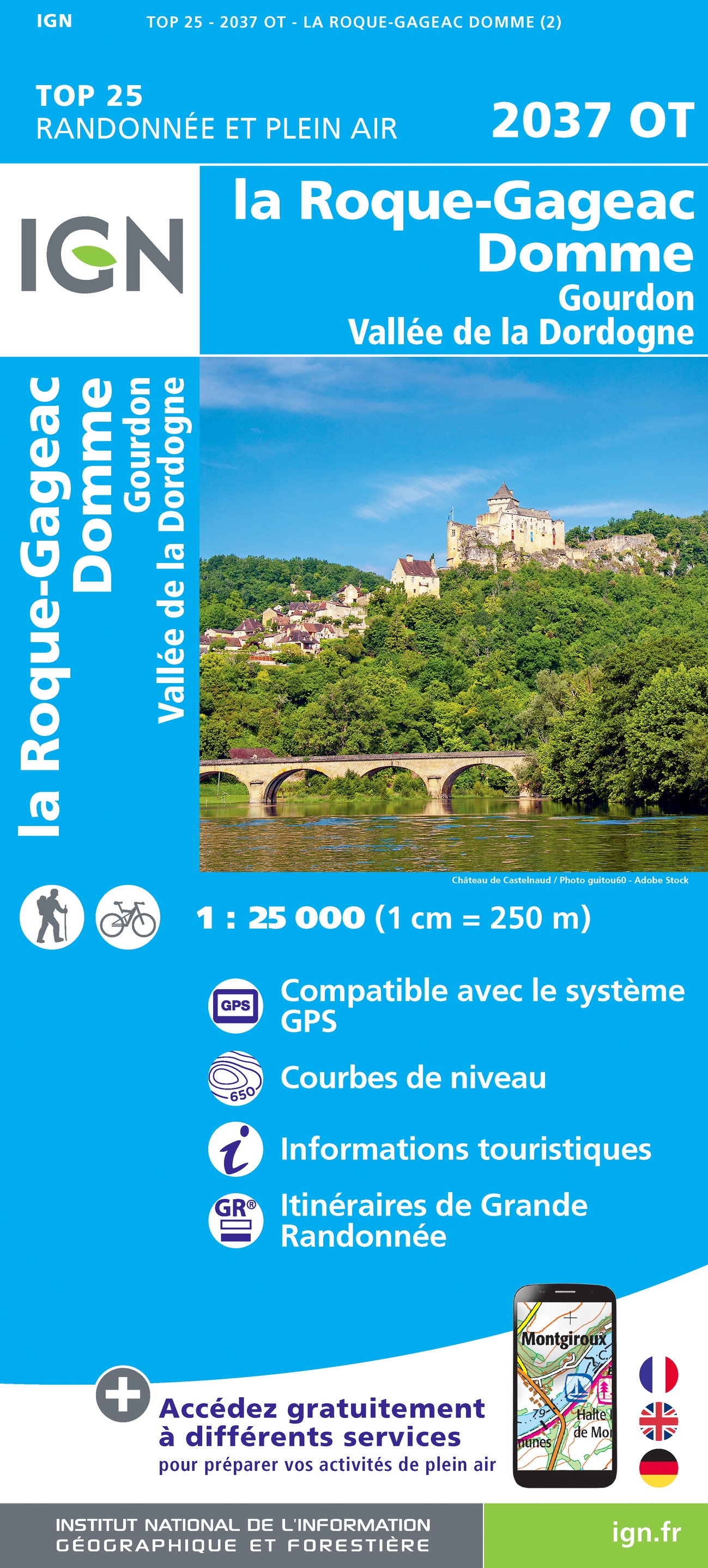
- La Roque-Gageac - Domme - Gourdon Vallee de la Dordogne IGN 2037OT
- Topographic survey of France at 1:25,000 in IGN`s excellent TOP25 / Série Bleue series. All the maps are GPS compatible, with a 1km UTM grid plus latitude and longitude lines at 5’ intervals. Contours are at 5m intervals except for mountainous areas where the maps have contours at 10m intervals, vividly enhanced by hill shading and graphics for... Read more