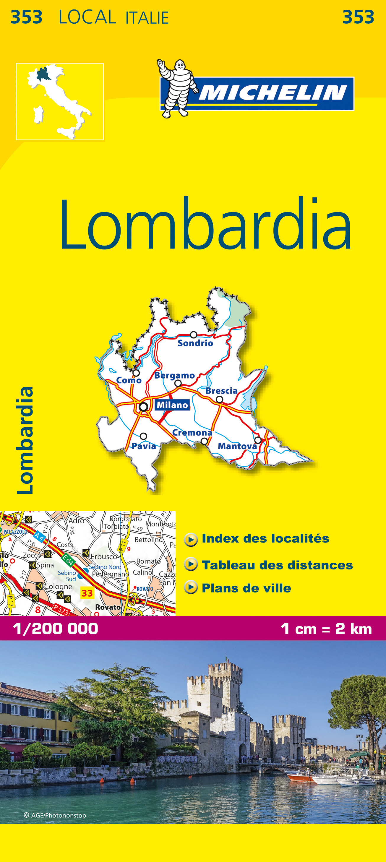
Lombardia
Beschreibung
Lombardia or Lombardy is the region around Milano.
Links
Fakten
Berichte
Führer und Karten
Übernachtung
Organisationen
Reisebüros
GPS
Sonstiges
Bücher

The Book Depository
United Kingdom
2019
United Kingdom
2019
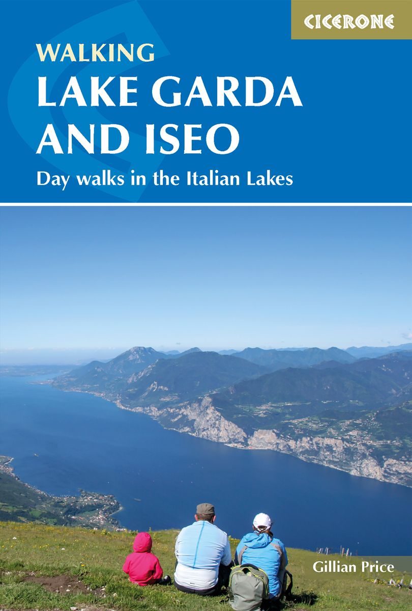
- Walking Lake Garda and Iseo
- Day walks in the Italian Lakes Read more
- Also available from:
- De Zwerver, Netherlands
- Stanfords, United Kingdom
De Zwerver
Netherlands
2019
Netherlands
2019
- Wandelgids Walking Lake Garda and Iseo | Cicerone
- Guidebook to 20 day walks around the majestic Italian lakes of Garda and Iseo. The routes, which range from leisurely strolls to more strenuous routes up panoramic peaks, offer something to suit all walkers. Invaluable practical information about public transport, accommodation and walking kit is included, together with a handy Italian glossary. Read more

Stanfords
United Kingdom
2019
United Kingdom
2019
- Walking Lake Garda & Iseo
- This guidebook describes 20 walks around Lakes Garda and Iseo in Northern Italy. The routes range from 4 to 13km in length and are graded 1 to 3. There is something for everyone, from easy leisurely strolls for first-time walkers to strenuous climbs up panoramic peaks.The clear maps, inspirational photographs and information about accommodation... Read more

- Also available from:
- De Zwerver, Netherlands

Stanfords
United Kingdom
United Kingdom
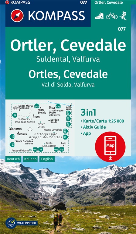
- Ortles / Ortler - Cevedale Kompass 077
- Ortles/Ortler - Cevedale area at 1:25,000 on a durable, waterproof and tear-resistant map from Kompass in their series of detailed maps of the Dolomites.CARTOGRAPHY: Kompass maps of the Dolomites at 1:25,000 have contours at 25-m intervals. An overprint shows local and long-distance footpaths, including all the high level routes (Alte Vie). The... Read more

Stanfords
United Kingdom
2015
United Kingdom
2015
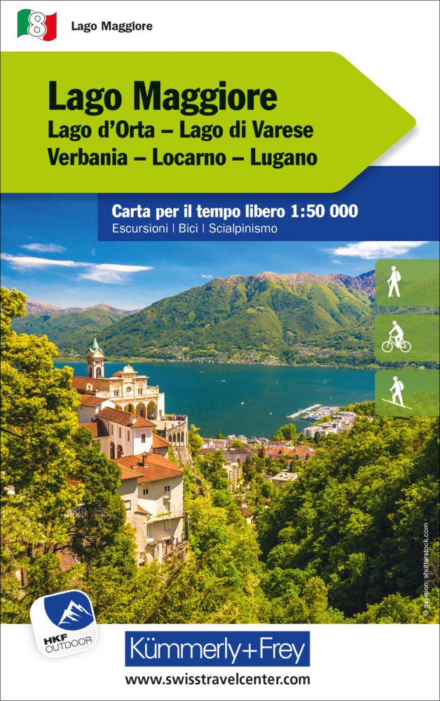
- Italian Lakes Walking: Garda, Maggiore, Como and Iseo
- This guidebook describes 50 walks around Lakes Como, Iseo, Garda and Maggiore in Northern Italy. The picturesque routes are accessible by public transport from popular centres including Bellagio, Riva, Stresa and Cannero, and range from 2 to 14km in length. There are gentle lakeside strolls, and numerous ridge routes and traverses as well as... Read more
Karten

- Also available from:
- De Zwerver, Netherlands
- Stanfords, United Kingdom
De Zwerver
Netherlands
2021
Netherlands
2021

Stanfords
United Kingdom
2021
United Kingdom
2021
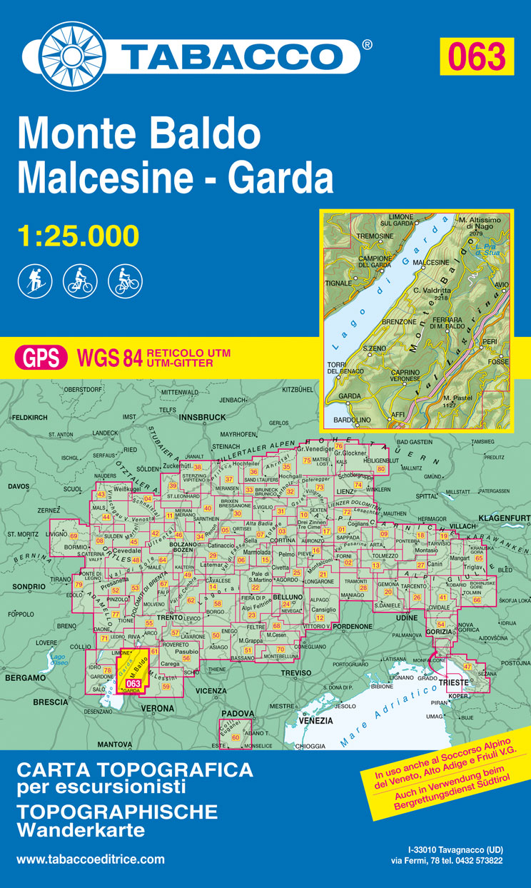
- Monte Baldo – Malcesine – Garda Tabacco 063
- The northern part of Lake Garda and the Monte Baldo area to the east of the lake in a series of Tabacco maps at 1:25,000 covering the Dolomites and the mountains of north-eastern Italy - Stanfords’ most popular coverage for this region, with excellent cartography and extensive overprint for hiking routes and other recreational activities, local... Read more

- Also available from:
- De Zwerver, Netherlands
De Zwerver
Netherlands
2022
Netherlands
2022
De Zwerver
Netherlands
Netherlands
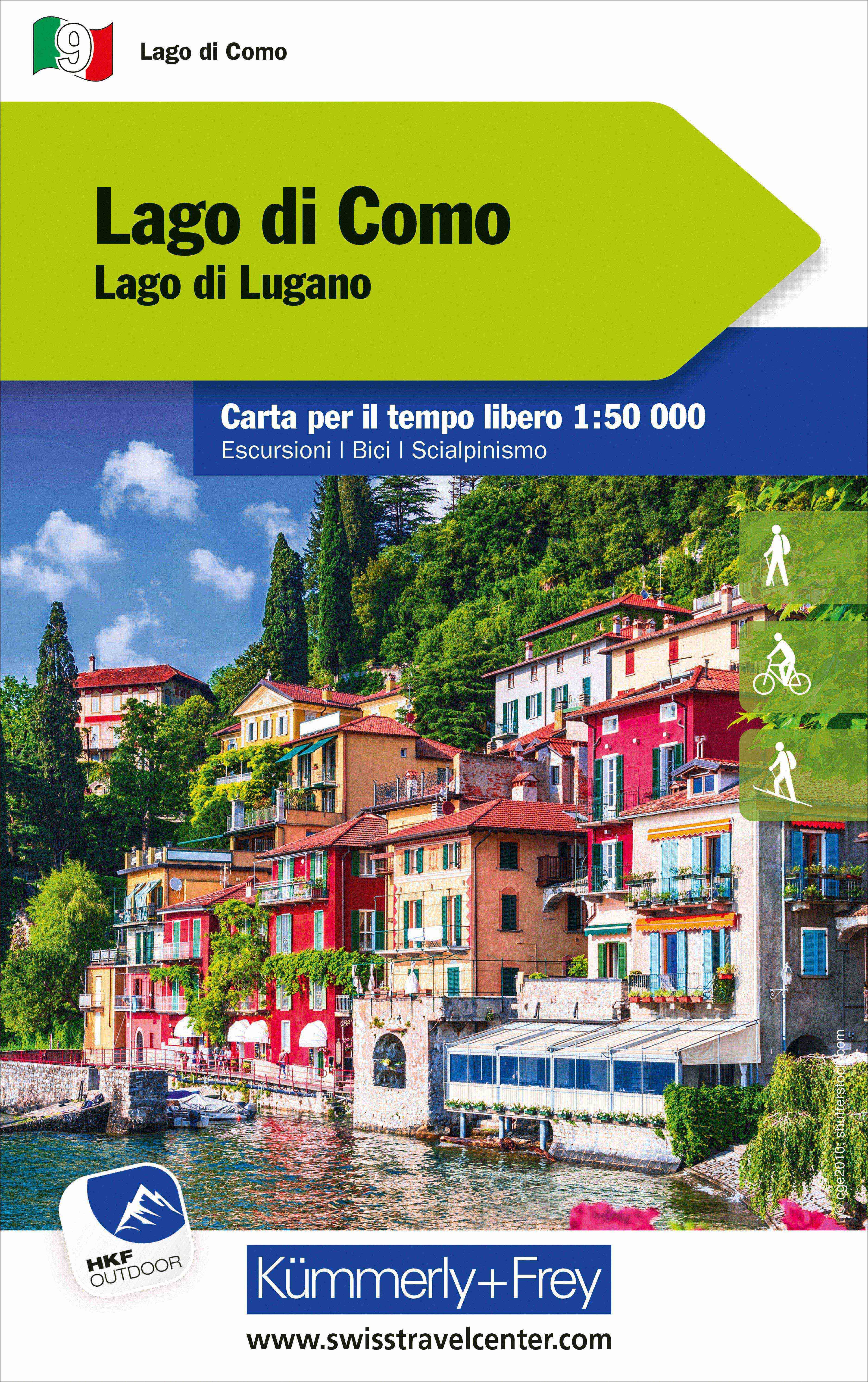
- Wandelkaart Regio Lugano - Lago Maggiore - Mendrisiotto | Kümmerly & Frey
- 33 specially selected hiking trails in the southernmost part of the Ticino canton presented at 1:50,000 on a waterproof and tear-resistant, contoured and GPS compatible map from the Hallwag/K Read more
- Also available from:
- Stanfords, United Kingdom

Stanfords
United Kingdom
United Kingdom
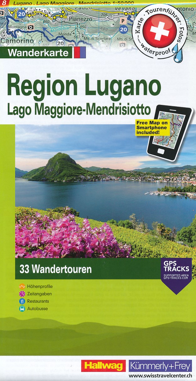
- Lugano - Mendrisiotto - Locarno
- 33 specially selected hiking trails in the southernmost part of the Ticino canton presented at 1:50,000 on a waterproof and tear-resistant, contoured and GPS compatible map from the Hallwag/Kümmerly + Frey group, with route profiles, grading for the severity of the terrain and the degree of fitness required, etc. Coverage includes Lugano,... Read more
De Zwerver
Netherlands
Netherlands
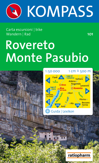
- Wandelkaart 101 Rovereto - Monte Pasubio | Kompass
- Map No. 101, Rovereto - Monte Pasubio, from Kompass in a series of walking maps of selected areas of Italy at 1:50,000, with hiking routes on a topographic base, various types of accommodation, recreational facilities, places of interest, etc. Kompass are Europe Read more
- Also available from:
- Stanfords, United Kingdom

Stanfords
United Kingdom
United Kingdom
- Rovereto - Monte Pasubio Kompass 101
- Map No. 101, Rovereto - Monte Pasubio, from Kompass in a series of walking maps of selected areas of Italy at 1:50,000, with hiking routes on a topographic base, various types of accommodation, recreational facilities, places of interest, etc. Kompass are Europe’s largest publishers of walking maps, with extensive coverage of hiking areas in... Read more

- Also available from:
- Stanfords, United Kingdom

Stanfords
United Kingdom
United Kingdom
- Langhe Meridionali IGC 18
- The southern part of the Langhe region of Piedmont, famous for its wines, cheeses, and truffles, in a series contoured hiking maps at 1:50,000 with local trails, long-distance footpaths, mountain accommodation, etc. from the Turin based Istituto Geografico Centrale.Maps in this series have contours at 50m intervals, enhanced by shading and... Read more
De Zwerver
Netherlands
2021
Netherlands
2021
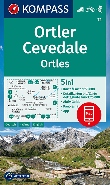
- Wandelkaart 72 Ortler/Ortles - Cevedale | Kompass
- Ortles/Ortler – Cevedale area of the Dolomites on a GPS compatible hiking and recreational map at 1:50,000 from Kompass with a panorama map on the reverse and printed on durable, waterproof and tear-resistant synthetic paper.KOMPASS HIKING MAPS OF ITALY:This title is part of an extensive series of walking maps from Kompass covering selected... Read more
- Also available from:
- Stanfords, United Kingdom

Stanfords
United Kingdom
2021
United Kingdom
2021
- Ortles / Ortler - Cevedale Kompass 72
- Ortles/Ortler – Cevedale area of the Dolomites on a GPS compatible hiking and recreational map at 1:50,000 from Kompass with a panorama map on the reverse and printed on durable, waterproof and tear-resistant synthetic paper.KOMPASS HIKING MAPS OF ITALY:This title is part of an extensive series of walking maps from Kompass covering selected... Read more
De Zwerver
Netherlands
Netherlands
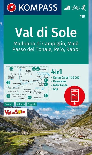
- Wandelkaart 119 Val di Sole | Kompass
- Map No. 119, Val di Sole - with a panorama map on the reverse, from Kompass in a series providing detailed coverage of the Dolomites and Lake Garda area and supplementing their main series of walking maps of Italy at 1:50,000. Maps in this series have a more detailed base and smaller contour interval than coverage at 1:50,000.*Cartography:*... Read more
- Also available from:
- Stanfords, United Kingdom

Stanfords
United Kingdom
United Kingdom
- Val di Sole - Madonna di Campiglio - Malè - Passo del Tonale Kompass 119
- Map No. 119, Val di Sole - with a panorama map on the reverse, from Kompass in a series providing detailed coverage of the Dolomites and Lake Garda area and supplementing their main series of walking maps of Italy at 1:50,000. Maps in this series have a more detailed base and smaller contour interval than coverage at 1:50,000.*Cartography:*... Read more
De Zwerver
Netherlands
Netherlands
- Also available from:
- Stanfords, United Kingdom
Stanfords
United Kingdom
2020
United Kingdom
2020
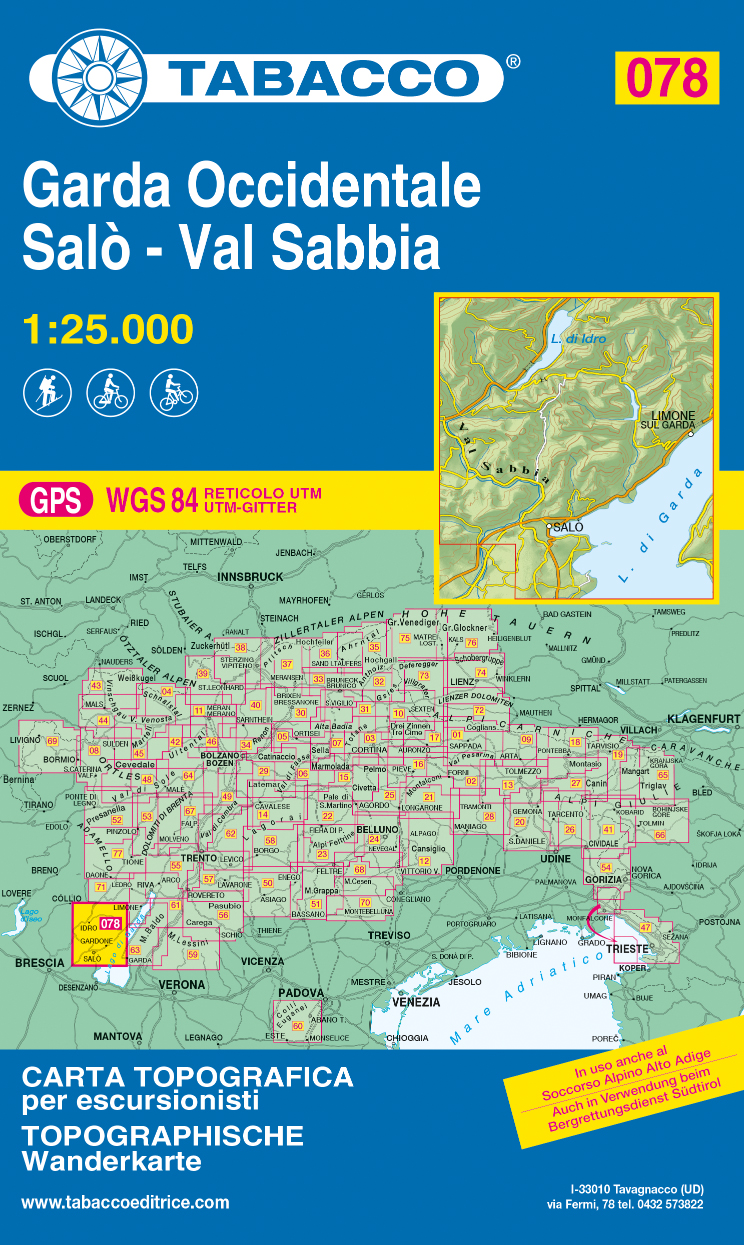
- Garda Occidentale - Salo - Val Sabbia - Lago d`Idro Tabacco 078
- The northern part of Lake Garda and the Monte Baldo area to the east of the lake in a series of Tabacco maps at 1:25,000 covering the Dolomites and the mountains of north-eastern Italy - Stanfords’ most popular coverage for this region, with excellent cartography and extensive overprint for hiking routes and other recreational activities, local... Read more
De Zwerver
Netherlands
Netherlands
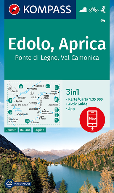
- Wandelkaart 94 Edolo - Aprica | Kompass
- Map No. 94, Edolo - Aprica, from Kompass in a series of walking maps of selected areas of Italy at 1:50,000, with hiking routes on a topographic base, various types of accommodation, recreational facilities, places of interest, etc. Kompass are Europe’s largest publishers of walking maps, with extensive coverage of hiking areas in other... Read more
- Also available from:
- Stanfords, United Kingdom
Stanfords
United Kingdom
United Kingdom
- Edolo - Aprica - Ponte di Legno - Val Camonica Kompass 94
- Map No. 94, Edolo - Aprica, from Kompass in a series of walking maps of selected areas of Italy at 1:50,000, with hiking routes on a topographic base, various types of accommodation, recreational facilities, places of interest, etc. Kompass are Europe’s largest publishers of walking maps, with extensive coverage of hiking areas in other... Read more
Weitere …