
New Mexico
Beschreibung
New Mexico is mountainous with countless rugged features, open plains and arid deserts.
Important trails here are the Continental Divide Trail and the Grand Enchantment Trail (also in Arizona).
Thousands of miles of (alpine) trails run through the Santa Fe National Forest and Gila National Forest. Also interesting are the Carson National Forest, the Lincoln National Forest and the Cibola National Forest.
Karte

Wanderwege Landesteil
Links
Fakten
Berichte
Führer und Karten
Übernachtung
Organisationen
Reisebüros
GPS
Sonstiges
Bücher

The Book Depository
United Kingdom
United Kingdom
- Best Wildflower Hikes New Mexico
- A Guide to the Area's Greatest Wildflower Hiking Adventures Read more

- Also available from:
- Stanfords, United Kingdom

Stanfords
United Kingdom
United Kingdom
- Windswept: why women walk
- The story of extraordinary women who lost their way - their sense of self, their identity, their freedom - and found it again through walking in the wild. `Moving and memorable` Virginia Nicholson, author of How Was It for You?`A triumph ... I felt as though I were being lifted, carried up to peaks` Charlotte Peacock, author of Into the... Read more

- Also available from:
- De Zwerver, Netherlands
- Stanfords, United Kingdom
De Zwerver
Netherlands
Netherlands
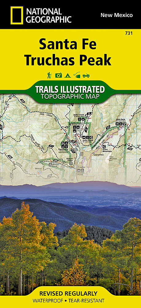
- Wandelkaart 731 Santa Fe, Truchas Peak | National Geographic
- Trails Illustrated Read more

Stanfords
United Kingdom
United Kingdom
- Santa Fe - Truchas Peak NM
- Map No. 731, Santa Fe - Truchas Peak in New Mexico at 1:63,360, part of an extensive series of GPS compatible, contoured hiking maps of USA’s national and state parks or forests and other popular recreational areas. Cartography, based on the national topographic survey, has extensive additional tourist information.The maps, printed on light,... Read more

Stanfords
United Kingdom
United Kingdom
- The Golden Age
- Charles V, Emperor of Europe and the New World, is the central figure The Golden age, the second volume of Hugh Thomas’s superb history of the Spanish Empire. It begins with the return of the remnants of Magellan’s expedition around the world in 1522 and ends with Charles’s death in 1558. In the decades between, the Spaniards conquer Guatemala,... Read more

Stanfords
United Kingdom
United Kingdom
- Windswept: Walking in the Footsteps of Remarkable Women
- The story of extraordinary women who lost their way - their sense of self, their identity, their freedom - and found it again through walking in the wild. A feminist exploration of the power of walking in nature, following in the footsteps of Gwen John, Georgia O`Keeffe, Frieda Lawrence, Clara Vyvyan, Simone de Beauvoir, Daphne Du Maurier and... Read more
Bol.com
Netherlands
Netherlands
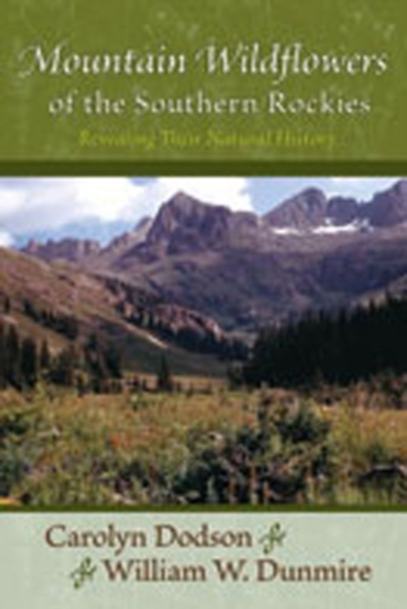
- Mountain Wildflowers of the Southern Rockies
- More than a field guide, Mountain Wildflowers of the Southern Rockies offers botanical, natural history, and cultural essays that present useful and fascinating facts about seventy-five species of wildflowers, including strategies for survival, plant evolution, origins of common and scientific plant names, family characteristics, and their... Read more
- Also available from:
- Bol.com, Belgium
Bol.com
Belgium
Belgium
- Mountain Wildflowers of the Southern Rockies
- More than a field guide, Mountain Wildflowers of the Southern Rockies offers botanical, natural history, and cultural essays that present useful and fascinating facts about seventy-five species of wildflowers, including strategies for survival, plant evolution, origins of common and scientific plant names, family characteristics, and their... Read more
Bol.com
Netherlands
Netherlands
- Roadtrip America Arizona & New Mexico
- Add fun, history, and jaw-dropping natural wonders to your southwestern road trip with RoadTrip America's Arizona and New Mexico: 25 Scenic Side Trips, each one beginning and ending at an Interstate highway and drivable within a day. Full-color maps and photographs illustrate easy-to-follow scenic routes through breathtaking landscapes and... Read more
- Also available from:
- Bol.com, Belgium
Bol.com
Belgium
Belgium
- Roadtrip America Arizona & New Mexico
- Add fun, history, and jaw-dropping natural wonders to your southwestern road trip with RoadTrip America's Arizona and New Mexico: 25 Scenic Side Trips, each one beginning and ending at an Interstate highway and drivable within a day. Full-color maps and photographs illustrate easy-to-follow scenic routes through breathtaking landscapes and... Read more

Bol.com
Netherlands
Netherlands
- A Wandering Walk Guidebook
- Santa Fe is in the oldest capital city in the United States and the oldest city in the State of New Mexico. Founded in 1610, the city s full name is La Villa Real de la Santa Fe de San Francisco de Asis. This translates into The Royal Town of the Holy Faith of St. Francis of Assisi. Along the route you will see some of the oldest residences,... Read more
- Also available from:
- Bol.com, Belgium
Bol.com
Belgium
Belgium
- A Wandering Walk Guidebook
- Santa Fe is in the oldest capital city in the United States and the oldest city in the State of New Mexico. Founded in 1610, the city s full name is La Villa Real de la Santa Fe de San Francisco de Asis. This translates into The Royal Town of the Holy Faith of St. Francis of Assisi. Along the route you will see some of the oldest residences,... Read more

Bol.com
Netherlands
Netherlands
- Hunting American Lions
- HUNTING AMERICAN LIONS FRANK C. HIBBEN Illustrated by Paul Bransom THOMAS Y. CROWELL COMPANY NEW YORK Copyright 1948 by Frank C. Hibben All rights reserved. No part of this book may be reproduced in any form, except by a reviewer, without the permission of the publisher. Designed by Maurice Serle Kaplan Manufactured in the United States of... Read more
- Also available from:
- Bol.com, Belgium
Bol.com
Belgium
Belgium
- Hunting American Lions
- HUNTING AMERICAN LIONS FRANK C. HIBBEN Illustrated by Paul Bransom THOMAS Y. CROWELL COMPANY NEW YORK Copyright 1948 by Frank C. Hibben All rights reserved. No part of this book may be reproduced in any form, except by a reviewer, without the permission of the publisher. Designed by Maurice Serle Kaplan Manufactured in the United States of... Read more

The Book Depository
United Kingdom
United Kingdom
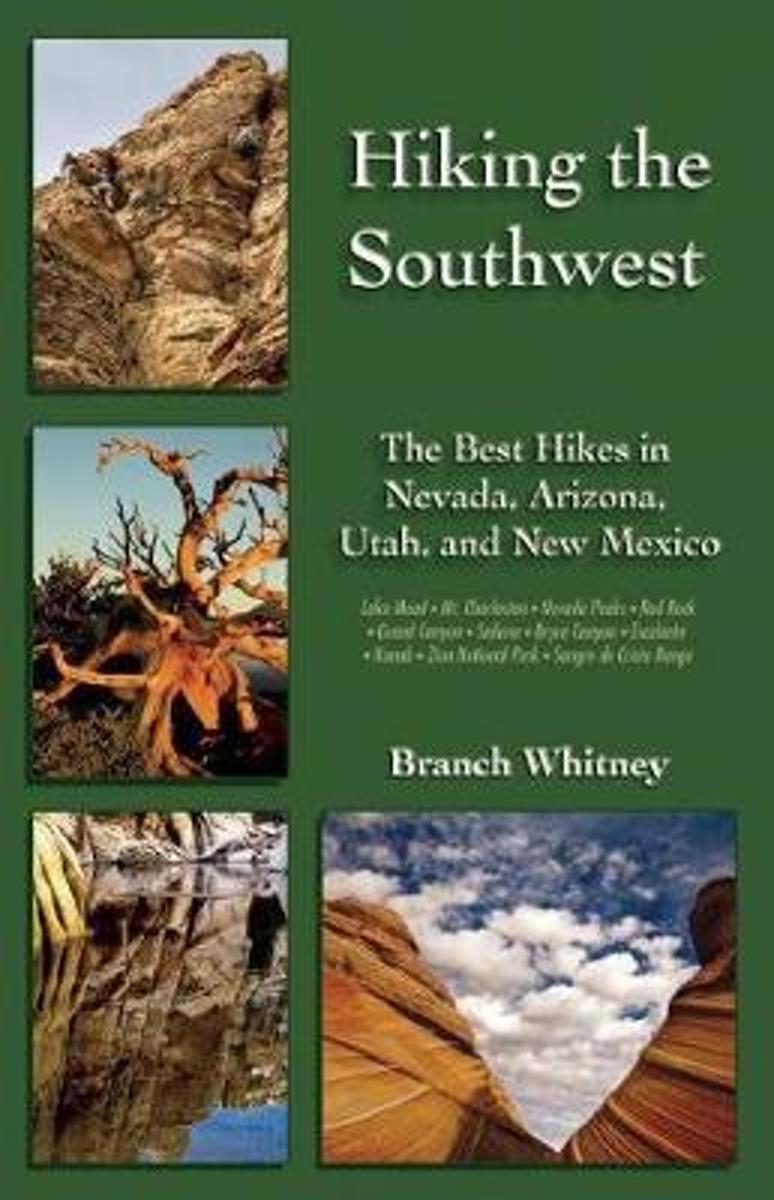
- Hiking the Southwest
- The Best Hikes in Nevada, Arizona, Utah, and New Mexico Read more
- Also available from:
- Bol.com, Netherlands
- Bol.com, Belgium
Bol.com
Netherlands
Netherlands
- Hiking the Southwest
- Hiking the Southwest provides recommendations for, descriptions of, and directions to the best hikes throughout the American Southwest. From canyoneering in Zion National Park and scrambling in Red Rock Canyon to hiking the highest peaks in Arizona, Nevada, and New Mexico, Hiking the Southwest puts them all within reach. In Hiking the... Read more
Bol.com
Belgium
Belgium
- Hiking the Southwest
- Hiking the Southwest provides recommendations for, descriptions of, and directions to the best hikes throughout the American Southwest. From canyoneering in Zion National Park and scrambling in Red Rock Canyon to hiking the highest peaks in Arizona, Nevada, and New Mexico, Hiking the Southwest puts them all within reach. In Hiking the... Read more
Bol.com
Netherlands
Netherlands
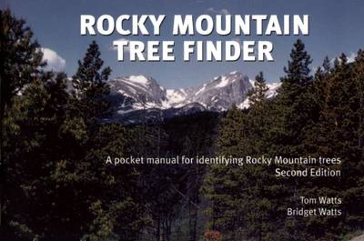
- Rocky Mountain Tree Finder
- Learn to identify native trees by their leaves and needles in the Rocky Mountain region. Like other pocket guides from Nature Study Guild Publishers' Finder series, this book is organized as a dichotomous key. The key leads you step-by-step through a series of simple questions to arrive at the name of the tree.Area covered extends across the... Read more
- Also available from:
- Bol.com, Belgium
Bol.com
Belgium
Belgium
- Rocky Mountain Tree Finder
- Learn to identify native trees by their leaves and needles in the Rocky Mountain region. Like other pocket guides from Nature Study Guild Publishers' Finder series, this book is organized as a dichotomous key. The key leads you step-by-step through a series of simple questions to arrive at the name of the tree.Area covered extends across the... Read more

Bol.com
Netherlands
Netherlands
- Continental Divide Trail Pocket Maps - Wyoming
- Wyoming1st Edition - December 15, 2014The Continental Divide Trail Pocket Map Series is a complete and concise set of topographic maps created withdigitized base maps covering every step of the 3,016 mile trail from Mexico to Canada.The most current data available! This reflects the recently located, official CDTThe land cover, hydrology and... Read more
- Also available from:
- Bol.com, Belgium
Bol.com
Belgium
Belgium
- Continental Divide Trail Pocket Maps - Wyoming
- Wyoming1st Edition - December 15, 2014The Continental Divide Trail Pocket Map Series is a complete and concise set of topographic maps created withdigitized base maps covering every step of the 3,016 mile trail from Mexico to Canada.The most current data available! This reflects the recently located, official CDTThe land cover, hydrology and... Read more

- Also available from:
- Stanfords, United Kingdom
- Bol.com, Netherlands
- Bol.com, Belgium

Stanfords
United Kingdom
United Kingdom
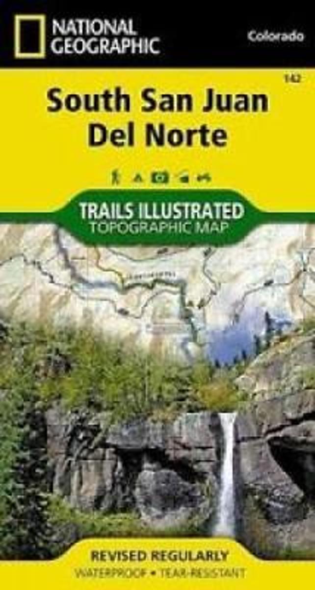
- South San Juan - Del Norte CO
- Map No. 142, South San Juan - Del Norte, CO, in an extensive series of GPS compatible, contoured hiking maps of USA’s national and state parks or forests and other popular recreational areas. Cartography based on the national topographic survey, with additional tourist information.The maps, with most titles now printed on light, waterproof and... Read more
Bol.com
Netherlands
Netherlands
- South San Juan/del Norte
- Waterproof Tear-Resistant Topographic MapCoverage includes Rio Grande and San Juan national forests; South San Juan Wilderness; Dipping Lakes and Spiler Lakes; Lost Lake; Platoro and Fuchs Reservoirs; South Fork and Conejos rivers; the cities of Del Norte, South Fork, Wagon Wheel Gap, Summitville, Jasper, Cumbres, Platoro; and the... Read more
Bol.com
Belgium
Belgium
- South San Juan/del Norte
- Waterproof Tear-Resistant Topographic MapCoverage includes Rio Grande and San Juan national forests; South San Juan Wilderness; Dipping Lakes and Spiler Lakes; Lost Lake; Platoro and Fuchs Reservoirs; South Fork and Conejos rivers; the cities of Del Norte, South Fork, Wagon Wheel Gap, Summitville, Jasper, Cumbres, Platoro; and the... Read more
Karten

- Also available from:
- De Zwerver, Netherlands
- Stanfords, United Kingdom
De Zwerver
Netherlands
Netherlands
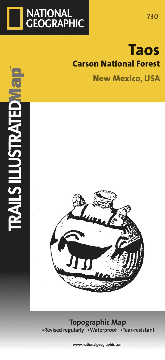
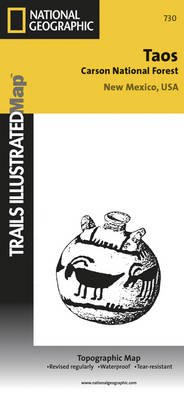
- Wandelkaart - Topografische kaart 730 Taos Carson National Forest | National Geographic
- Map No. 730, Taos Area of New Mexico, at 1:40,680 in an extensive series of GPS compatible, contoured hiking maps of USA Read more
Stanfords
United Kingdom
United Kingdom
- Taos Area NM
- Map No. 730, Taos Area of New Mexico, at 1:40,680 in an extensive series of GPS compatible, contoured hiking maps of USA’s national and state parks or forests and other popular recreational areas. Cartography based on the national topographic survey, with additional tourist information.The maps, with most titles now printed on light, waterproof... Read more


Stanfords
United Kingdom
United Kingdom
- New Mexico Benchmark Road & Recreation Atlas
- New Mexico at 1:400,000 in a series of excellent, detailed, GPS compatible state atlases from Benchmark Maps with extensive information on diverse recreational opportunities and facilities. The main section of the atlas, the Landscape Maps, presents the whole state on 56 pages of detailed mapping at 1:285,000. The Recreational Section is... Read more

De Zwerver
Netherlands
Netherlands
- Wandelkaart - Topografische kaart 314 Many Glacier - Glacier and Waterton Lakes National Parks | National Geographic
- Prachtige geplastificeerde kaart van het bekende nationaal park. Met alle recreatieve voorzieningen als campsites, maar ook met topografische details en wandelroutes ed. Door uitgekiend kleurgebruik zeer prettig in gebruik. Scheur en watervast! Located just north of Kalispell in Montana's northwest corner, Glacier National contains an... Read more
- Also available from:
- Stanfords, United Kingdom
- Bol.com, Netherlands
- Bol.com, Belgium

Stanfords
United Kingdom
United Kingdom
- Many Glacier - Glacier and Waterton Lakes National Parks MT
- Map No. 313, Glacier National Park: North Fork, MT, in an extensive series of GPS compatible, contoured hiking maps of USA’s national and state parks or forests and other popular recreational areas. Cartography based on the national topographic survey, with additional tourist information.The maps, with most titles now printed on light,... Read more

Bol.com
Netherlands
Netherlands
- Many Glacier, Glacier National Park
- Waterproof Tear-Resistant Topographic MapLocated just north of Kalispell in Montana's northwest corner, Glacier National contains an abundance of recreational opportunities for outdoor enthusiasts of all interests.This detailed topographic recreation map contains carefully researched trails, campsites, forest service roads, and... Read more
Bol.com
Belgium
Belgium
- Many Glacier, Glacier National Park
- Waterproof Tear-Resistant Topographic MapLocated just north of Kalispell in Montana's northwest corner, Glacier National contains an abundance of recreational opportunities for outdoor enthusiasts of all interests.This detailed topographic recreation map contains carefully researched trails, campsites, forest service roads, and... Read more

- Also available from:
- De Zwerver, Netherlands
- Stanfords, United Kingdom
- Bol.com, Netherlands
- Bol.com, Belgium

De Zwerver
Netherlands
Netherlands
- Wandelkaart - Topografische kaart 141 Telluride, Silverton, Ouray, Lake City | National Geographic
- Prachtige geplastificeerde kaart van het bekende nationaal park. Met alle recreatieve voorzieningen als campsites, maar ook met topografische details en wandelroutes ed. Door uitgekiend kleurgebruik zeer prettig in gebruik. Scheur en watervast! Beautiful waterproof and tear-resistant topographical hiking map of a well-loved National Park, with... Read more

Stanfords
United Kingdom
United Kingdom
- Telluride - Silverton - Ouray - Lake City CO
- Map No. 141, Telluride - Silverton - Ouray - Lake City, CO, in an extensive series of GPS compatible, contoured hiking maps of USA’s national and state parks or forests and other popular recreational areas. Cartography based on the national topographic survey, with additional tourist information.The maps, with most titles now printed on light,... Read more

Bol.com
Netherlands
Netherlands
- Telluride/silverton/ouray/lake City
- Waterproof Tear-Resistant Topographic MapExpertly researched and created in partnership with local land management agencies, National Geographic's Trails Illustrated map of Telluride, Silverton, Ouray, and Lake City provides an unparalleled tool for exploring this breathtaking region of Colorado. Whatever the season, you'll find this map... Read more
Bol.com
Belgium
Belgium
- Telluride/silverton/ouray/lake City
- Waterproof Tear-Resistant Topographic MapExpertly researched and created in partnership with local land management agencies, National Geographic's Trails Illustrated map of Telluride, Silverton, Ouray, and Lake City provides an unparalleled tool for exploring this breathtaking region of Colorado. Whatever the season, you'll find this map... Read more

De Zwerver
Netherlands
Netherlands
- Wandelkaart - Topografische kaart 215 Glacier - Waterton Lakes National Park | National Geographic
- Prachtige geplastificeerde kaart van het bekende nationaal park. Met alle recreatieve voorzieningen als campsites, maar ook met topografische details en wandelroutes ed. Door uitgekiend kleurgebruik zeer prettig in gebruik. Scheur en watervast! Waterton Lakes National Park, Canada includes Waterton Park, Upper and Middle Waterton Lakes, The... Read more
- Also available from:
- Stanfords, United Kingdom
- Bol.com, Netherlands
- Bol.com, Belgium

Stanfords
United Kingdom
United Kingdom
- Glacier - Waterton Lakes National Park MT
- Map No. 215, Glacier/Waterton Lakes National Park, MT, in an extensive series of GPS compatible, contoured hiking maps of USA’s national and state parks or forests and other popular recreational areas. Cartography based on the national topographic survey, with additional tourist information.The maps, with most titles now printed on light,... Read more

Bol.com
Netherlands
Netherlands
- Glacier/waterton Lakes National Parks
- Waterproof Tear-Resistant Topographic MapNational Geographic's Trails Illustrated map of Glacier and Waterton Lakes National Parks offers unparalleled detail for outdoor enthusiasts exploring the pristine landscape of forests, mountains, lakes, and meadows within these two spectacular parks. Created in partnership with local land... Read more
Bol.com
Belgium
Belgium
- Glacier/waterton Lakes National Parks
- Waterproof Tear-Resistant Topographic MapNational Geographic's Trails Illustrated map of Glacier and Waterton Lakes National Parks offers unparalleled detail for outdoor enthusiasts exploring the pristine landscape of forests, mountains, lakes, and meadows within these two spectacular parks. Created in partnership with local land... Read more