
Belgien
Beschreibung
 This small kingdom has some surprisingly lovely landscapes. The Wallonian Ardennes region in the southeast is most famous among hikers, with its densely wooded river valleys and farm lands higher up on the undulating plateaus. In the northeast are the mysterious Hautes Fagnes, an upland plain of peat moors, partly in the Ardennes and partly in the Eifel region, and now a nature reserve that offers stunning beauty in all seasons. The north and west of Belgium, known as Flanders, is mostly low flat countryside, but nonetheless traversed by a myriad of long distance hiking trails, some of which lead through historic towns like Bruges and Ghent.
The majority of Belgian long distance hiking trails are known as GR's, a conveniently bi-lingual abbreviation of Grande Randonnees (French) or Grote Routepaden (Dutch). European long distance trails E2, E3 and E9 all lead through Belgium, and coincide with GR's.
Along the GR's, small hotels, B&B's and camping sites can be found in almost every village or town. Walking Belgium is a fun experience, frequently taking you back in time to what appears to be some older version of Europe. The often somewhat ramshackle towns, quaint shops and cafe's, old-fashioned politeness, excellent food and beer, there is simply no hurry to modernize, just live for the moment.
Karte


Wanderwege
- DijlelandGPX
- E2GPX
- E3GPX
- E9GPX
- GB - Gaume Buissonière
- GR12 - Amsterdam - ParisGPX
- GR121 - Wavre - BoulogneGPX
- GR122 - ScheldelandGPX
- GR123 - Tour du Hainaut occidentalGPX
- GR125 - Tour de l'Entre-Sambre-et-MeuseGPX
- GR126 - Brussel-Namen-Membre sur SamoisGPX
- GR128 - VlaanderenrouteGPX
- GR129 - Dwars door BelgiëGPX
- GR130 - IJzerGPX
- GR131 - Kreken - IeperboogGPX
- GR14 - Sentier de l'ArdenneGPX
- GR15 - AE - Ardennes-EifelGPX
- GR16 - Sentier de la SemoisGPX
- GR412 - Sentier des TerrilsGPX
- GR5GPX
- GR512 - Vlaams BrabantGPX
- GR56 - Hautes Fagnes - EifelGPX
- GR561 - Kempen-MaaspadGPX
- GR563 - Tour du Pays de HerveGPX
- GR564 - Kempen - CondrozGPX
- GR565 - Renier SniederspadGPX
- GR57 - Vallée de l'OurtheGPX
- GR570 - Pays des Trois FrontièresGPX
- GR571 - Vallées des LégendesGPX
- GR573 - Hautes FagnesGPX
- GR575 - Tour du Condroz NamuroisGPX
- GR576 - Tour du Condroz LiégeoisGPX
- GR577 - Tour de la FamenneGPX
- GR579 - Brussels - LiègeGPX
- GR5a - Wandelronde van VlaanderenGPX
- GrenslandpadGPX
- Groene GordelGPX
- HagelandGPX
- HeuvellandGPX
- KempenGPX
- Kempen-BroekGPX
- Mol OmGPX
- ReynaertlandGPX
- Rhine-Meuse Trail
- Santiago de Compostela Pilgrims WayGPX
- Tour de la Vesdre
- Tour du Brabant WallonGPX
- Transardense Route
- UilenspiegelpadGPX
- Via ArduinnaGPX
- Via BrabanticaGPX
- Via BrugensisGPX
- Via Gallia BelgicaGPX
- Via LimburgicaGPX
- Via MonasticaGPX
- Via MosanaGPX
- Via Scaldea
- Via Thiérache
- Vlaamse ArdennenGPX
Regionen
Landesteile


Links
Fakten
Berichte
Führer und Karten
Übernachtung
Organisationen
Reisebüros
GPS
Sonstiges
Bücher

Netherlands
2018
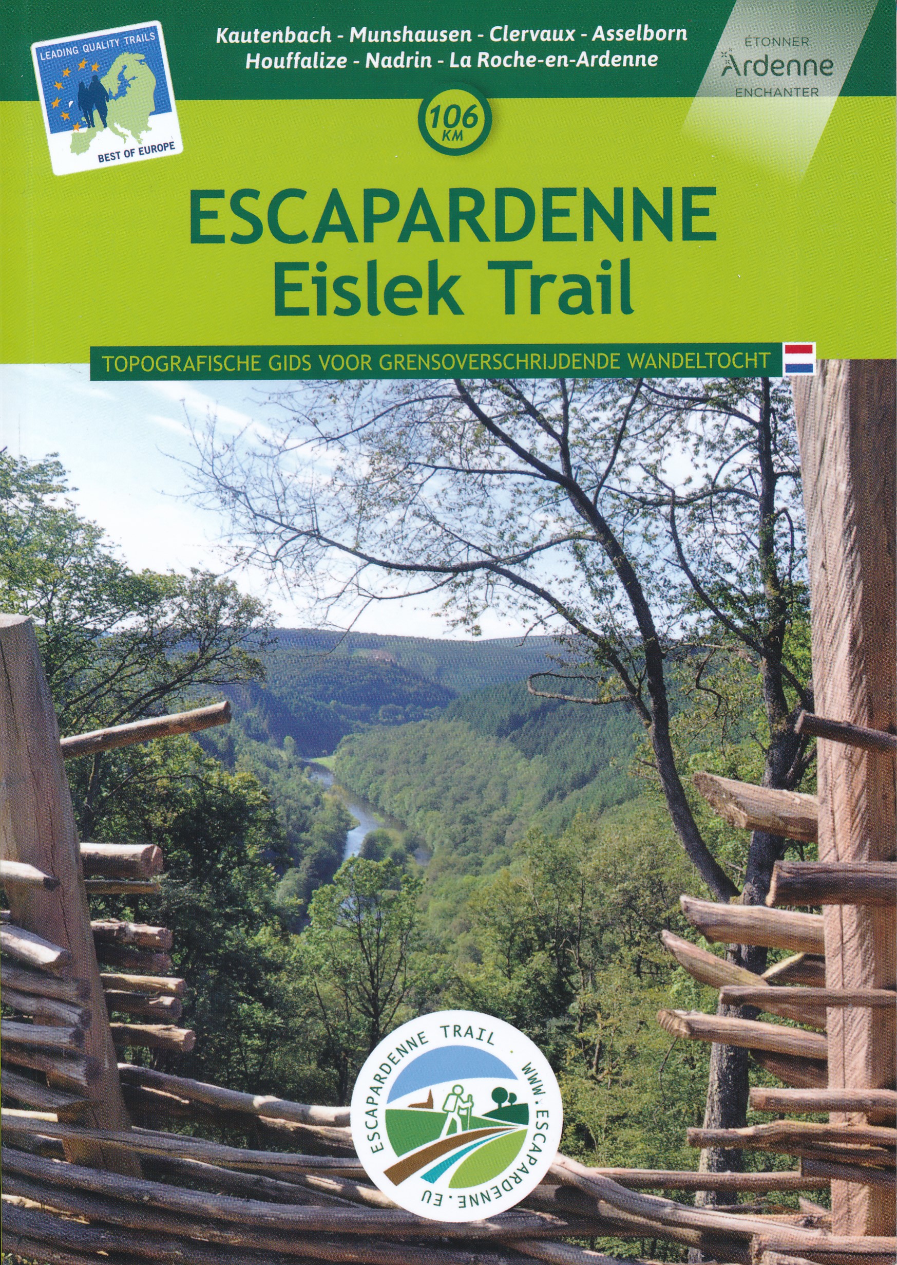
- Wandelgids Escarpardenne Eisleck Trail | Grande Traversee Ardennes
- Escapardenne Eisleck Trail loopt over 104 km van Kautenbach naar La-Roche-en-Ardenne door een schitterend deel van de Ardennen. Een nieuw langeafstandspad dat het Groothertogdom Luxemburg verbindt met de Waalse provincie Luxemburg. Grensoverschrijdend dus en niet alleen letterlijk! Dit is het eerste wandelpad in de Benelux dat werd ontworpen... Read more

Netherlands
2015
- Reisgids Praktisch Pelgrimeren | Nederlands Genootschap van Sint Jacob
- De pelgrimage naar de middeleeuwse stad Santiago de Compostela in Noordwest Spanje beleeft in onze tijd een ongekende herleving. Jaarlijks trekken vele tienduizenden te voet of per fiets, en een enkeling te paard, naar de veronderstelde begraafplaats van de apostel Jacobus de Meerdere. Ongeacht of men reist vanuit religieuze, spirituele,... Read more
Netherlands
2018
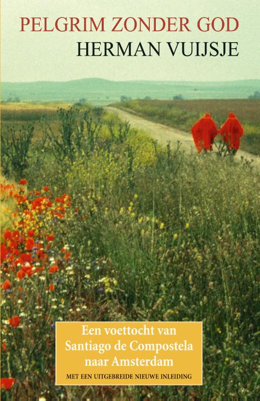
- Reisverhaal Pelgrim zonder God | Herman Vuijsje
- Bijna dertig jaar geleden, in 1989, legde Herman Vuijsje te voet de oude Sint-Jacobsroute af. Als athe�st en individualist verkoos hij de tocht alleen en in omgekeerde richting te maken: van Santiago de Compostela naar Amsterdam... Het boek dat hij over zijn tocht schreef is meer dan een reisverslag. De vier maanden durende wandeling van het nog s... Read more

Netherlands
2013
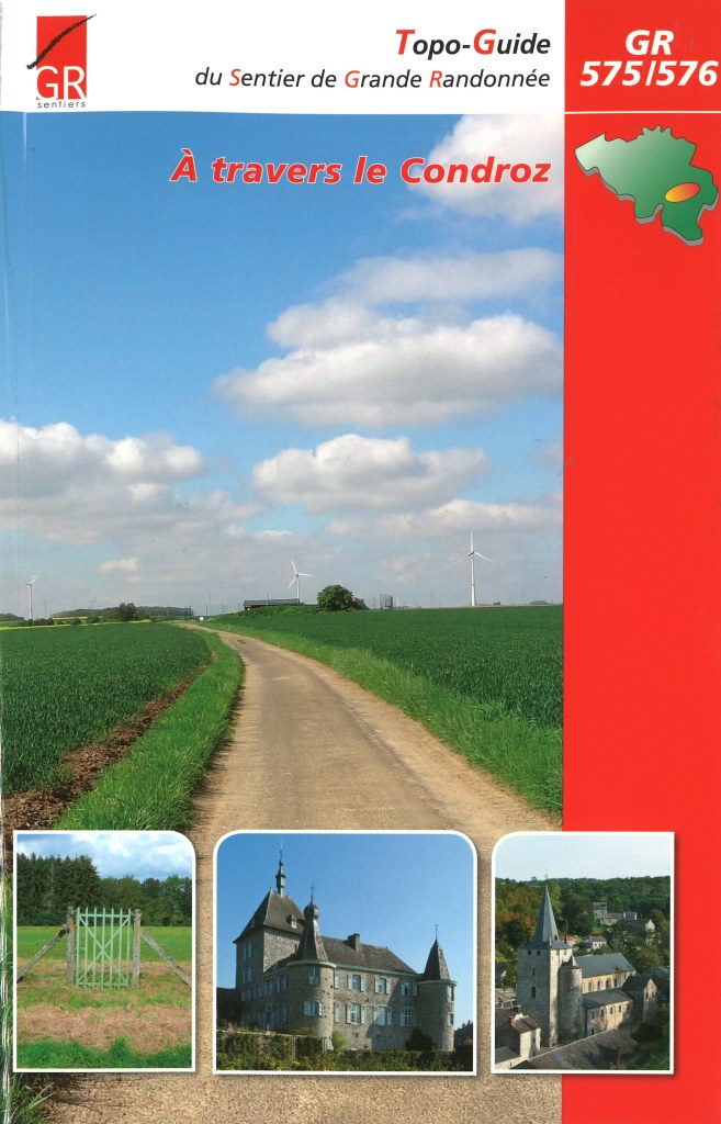
- Wandelgids A Travers le Condroz GR 575- GR 576 | GR Sentiers
- De 2 GR's, GR 575 Naamse Condroz en GR 576 Luikse Condroz, bestonden al langer, maar werden helemaal vernieuwd en samengevoegd in één gids. Het traject is 300 km lang. De route brengt je langs vele mooie dorpen met een steeds afwisselend landschap. Voorzien van veel praktische informatie en uitstekende topografische kaarten. Read more
Netherlands
2023
Netherlands
2015
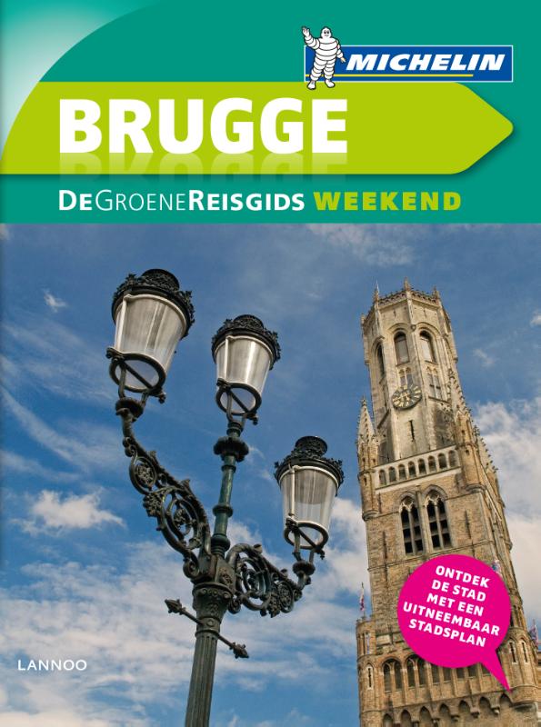
- Reisgids Michelin groene gids weekend Brugge | Lannoo
- Voor wie slechts één compacte stadsgids in zijn tas wil stoppen en toch geen enkele bezienswaardigheid of topadres wil missen. Dé gids om de stad écht te ontdekken: de plaatsen waar u de stad in zijn authenticiteit proeft, de evenementen van het ogenblik, de heerlijkste shoppingadressen... En daarbovenop, een handige kaart van het openbaar... Read more
Netherlands
2019
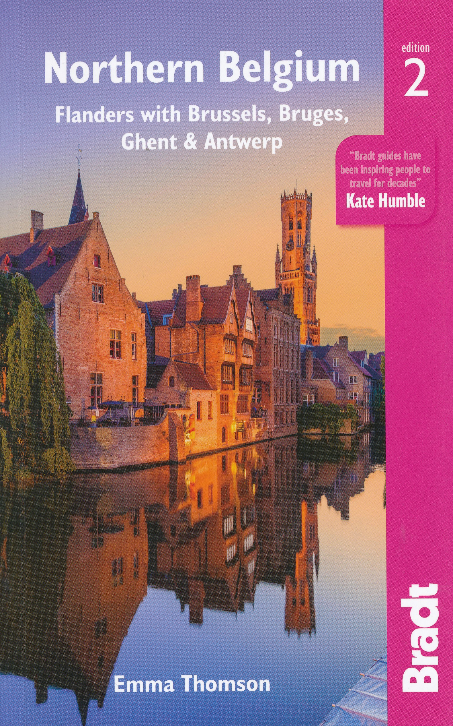
- Reisgids Travel guides Northern Belgium | Bradt Travel Guides
- Northern Belgium ab 17.49 EURO Flanders with Brussels, Bruges, Ghent and Antwerp The Bradt Travel Guide. 2nd Revised edition Read more
Netherlands
2021
Netherlands
2015
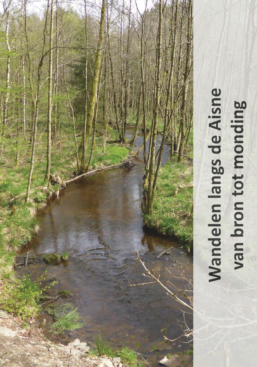
- Wandelgids Wandelen langs de Aisne van bron tot monding | Jan Veltkamp
- De wandelgids Wandelen langs de Aisne, in de Belgische Ardennen, van bron tot monding. De volledige route van de bron (Odeigne) tot de monding (Bomal) wordt beschreven. De gids, geniet, omvat 40 pagina’s en is rijk geïllustreerd. Ook maken routekaartjes, op originele topografische kaarten, deel uit van de gids. De gids is in het Nederlands. Het... Read more
Netherlands
2016
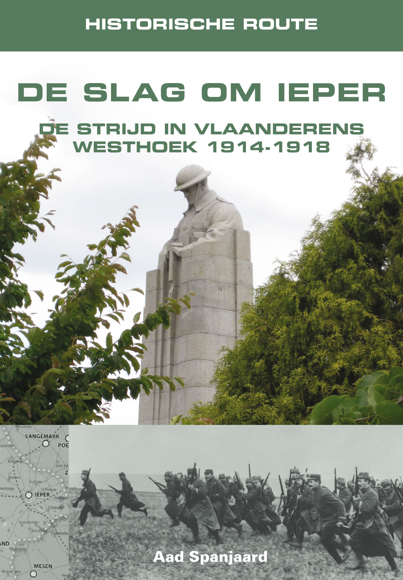
- Reisgids Historische Route De Slag om Ieper | Uitgeverij Elmar
- Bij een bezoek aan de voormalige slagvelden van de Westhoek en vooral in de omgeving van Ieper is de waan van deze oorlog nog steeds beklemmend aanwezig. Het is nauwelijks te bevatten welke gruwelen de jonge mannen van beide strijdende partijen moesten ondergaan op het slagveld, rondkruipend in de modder en de drek onder bijna voortdurende... Read more
Karten
Netherlands
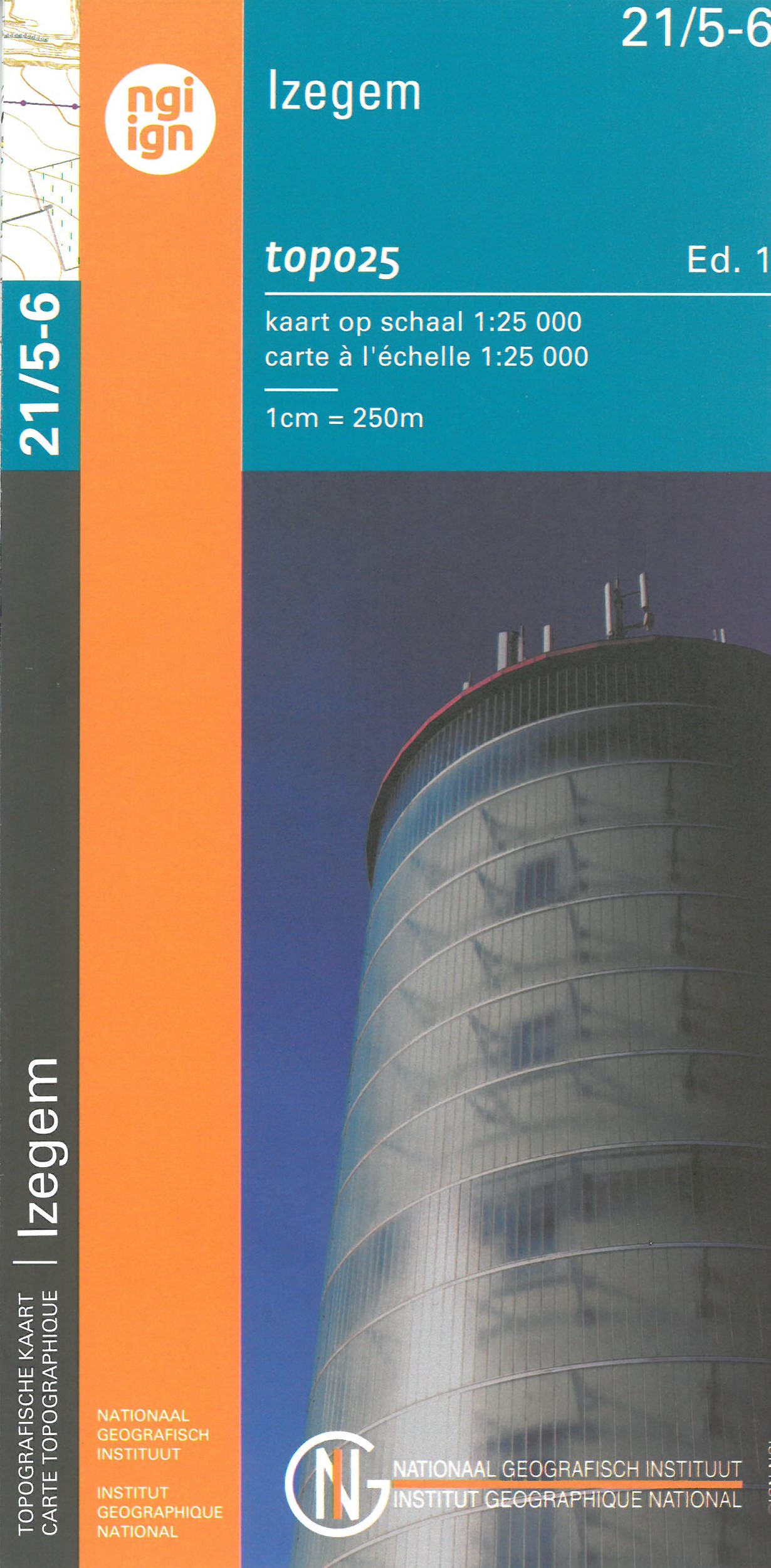
- Wandelkaart - Topografische kaart 21/5-6 Topo25 Ardooie - Oostrozebeke - Ingelmunster - Izegem | NGI - Nationaal Geografisch Instituut
- Zeer gedetailleerde topografische kaart van een deel van Belgie. Deze kaart is bijzonder geschikt voor wandeltochten, bijvoorbeeld in het heuvelachtige gebied van de Ardennen. Wel moet u bedenken dat op deze kaarten wandelroutes als zodanig niet staan ingetekend. Voorzien van alle topografische details als hoogtelijnen, waterlopen, bosgebieden,... Read more
- Also available from:
- Stanfords, United Kingdom

United Kingdom
- Izegem NGI Topo 21/5-6
- Topographical survey of Belgium at 1:20,000 from Nationaal Geografisch Instituut / Institut Géographique National, the country’s national survey organization. Each 20K map covers one quarter of the corresponding 1:50,000 map (with adjustments in the border and coastal areas). The maps provide all the information expected of topographic mapping... Read more
Netherlands
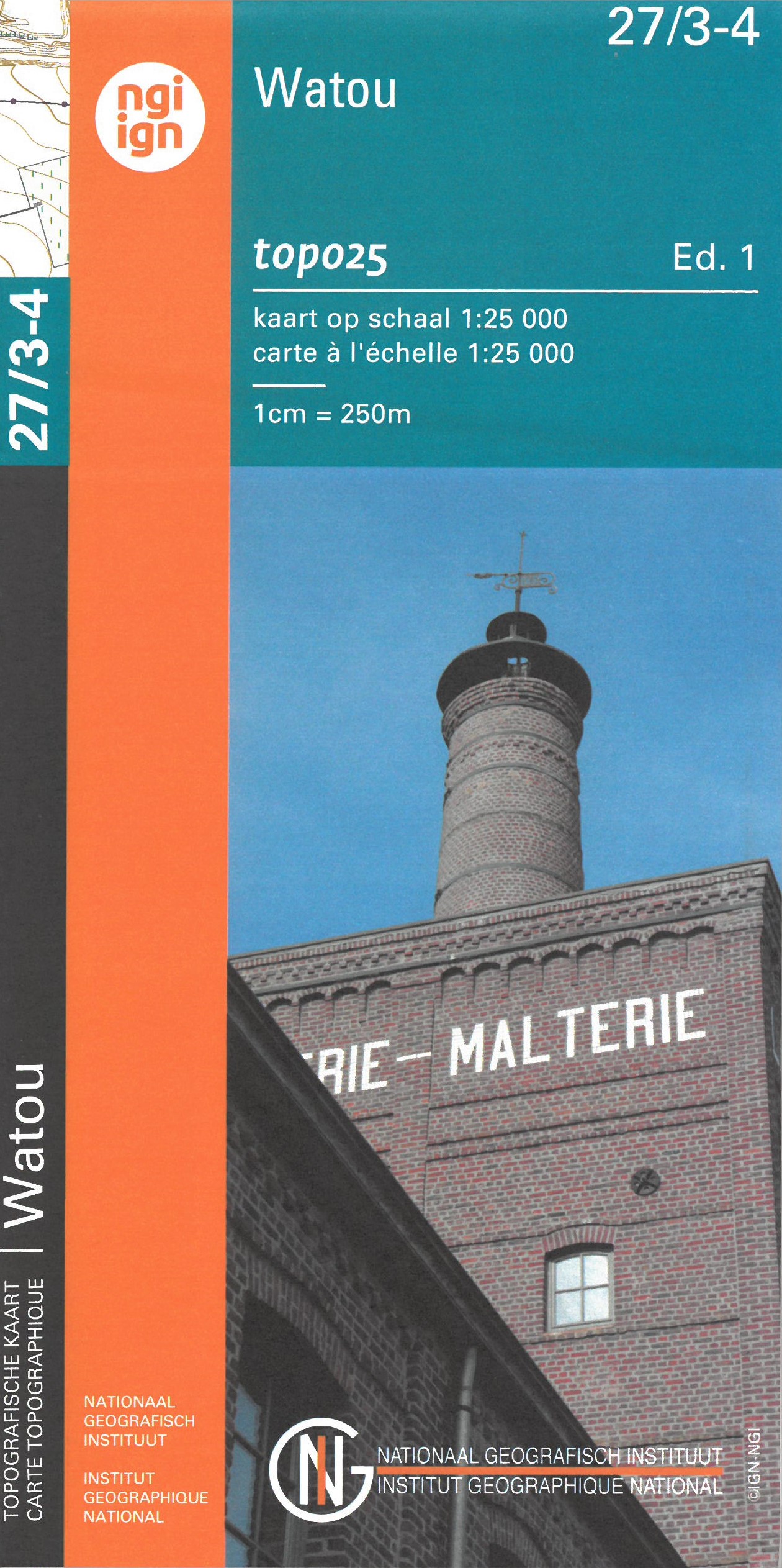
- Wandelkaart - Topografische kaart 27/3-4 Topo25 Watou | NGI - Nationaal Geografisch Instituut
- Topographical survey of Belgium at 1:20,000 from Nationaal Geografisch Instituut / Institut Géographique National, the country’s national survey organization. Each 20K map covers one quarter of the corresponding 1:50,000 map (with adjustments in the border and coastal areas). The maps provide all the information expected of topographic mapping... Read more
- Also available from:
- Stanfords, United Kingdom

United Kingdom
- Watou NGI Topo 27/3-4
- Topographical survey of Belgium at 1:20,000 from Nationaal Geografisch Instituut / Institut Géographique National, the country’s national survey organization. Each 20K map covers one quarter of the corresponding 1:50,000 map (with adjustments in the border and coastal areas). The maps provide all the information expected of topographic mapping... Read more
Netherlands
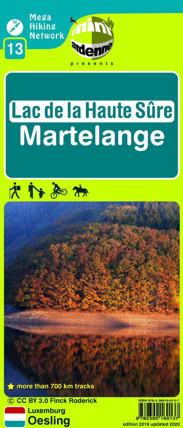
- Wandelkaart 13 Haute Sure - Martelange | Mini-Ardenne
- Handige overzichtelijke wandelkaart op een schaal van 1:25.000 van een deel van de Ardennen. In deze kaartenserie hebben de makers gekozen voor een belangrijke toeristische plaats als basis van de kaart. Naast een groot aantal ingetekende wandelroutes en paden met markering en knooppunten staan er ook toeristische bezienswaardigheden op en... Read more
- Also available from:
- Stanfords, United Kingdom

United Kingdom
- Lac de la Haute Sure - Martelange Mini-Ardenne 13
- Ardennes Recreational Maps at a scale of 1:25,000 enable you to discover the Ardennes from junction to junction, each associated with a locality, through a network of hiking, cycling or riding paths. The network of mini walks consists of suggested routes with kilometre distance marked showing field boundaries and urbanised built up areas.... Read more
Netherlands
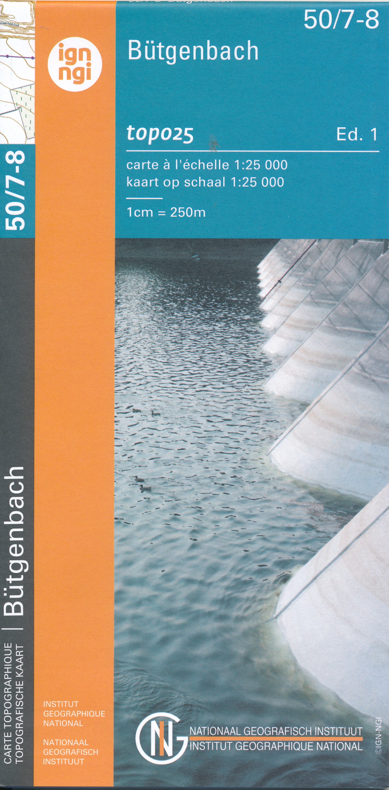
- Wandelkaart - Topografische kaart 50/7-8 Topo25 Bütgenbach - Büllingen,Bullange | NGI - Nationaal Geografisch Instituut
- Topographical survey of Belgium at 1:20,000 from Nationaal Geografisch Instituut / Institut Géographique National, the country’s national survey organization. Each 20K map covers one quarter of the corresponding 1:50,000 map (with adjustments in the border and coastal areas). The maps provide all the information expected of topographic mapping... Read more
- Also available from:
- Stanfords, United Kingdom

United Kingdom
- Butgenbach NGI Topo 50/7-8
- Topographical survey of Belgium at 1:20,000 from Nationaal Geografisch Instituut / Institut Géographique National, the country’s national survey organization. Each 20K map covers one quarter of the corresponding 1:50,000 map (with adjustments in the border and coastal areas). The maps provide all the information expected of topographic mapping... Read more
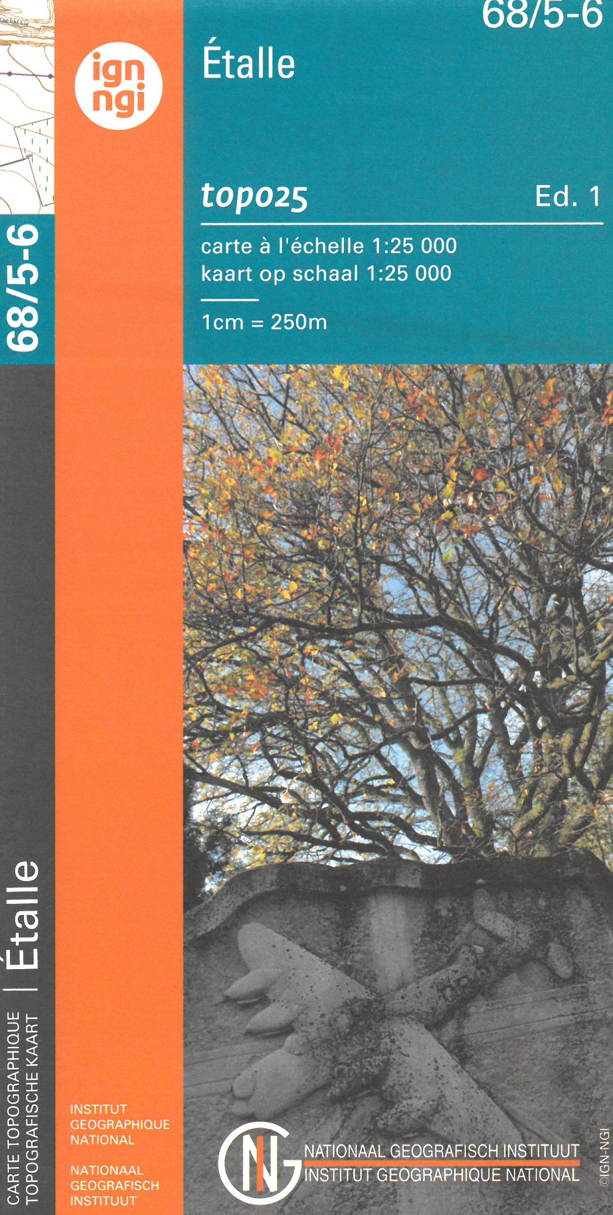
Netherlands
- Topografische kaart - Wandelkaart 68/5-6 Topo25 Étalle | NGI - Nationaal Geografisch Instituut
- Topographical survey of Belgium at 1:20,000 from Nationaal Geografisch Instituut / Institut Géographique National, the country’s national survey organization. Each 20K map covers one quarter of the corresponding 1:50,000 map (with adjustments in the border and coastal areas). The maps provide all the information expected of topographic mapping... Read more
- Also available from:
- Stanfords, United Kingdom

United Kingdom
- Etalle NGI Topo 68/5-6
- Topographical survey of Belgium at 1:20,000 from Nationaal Geografisch Instituut / Institut Géographique National, the country’s national survey organization. Each 20K map covers one quarter of the corresponding 1:50,000 map (with adjustments in the border and coastal areas). The maps provide all the information expected of topographic mapping... Read more
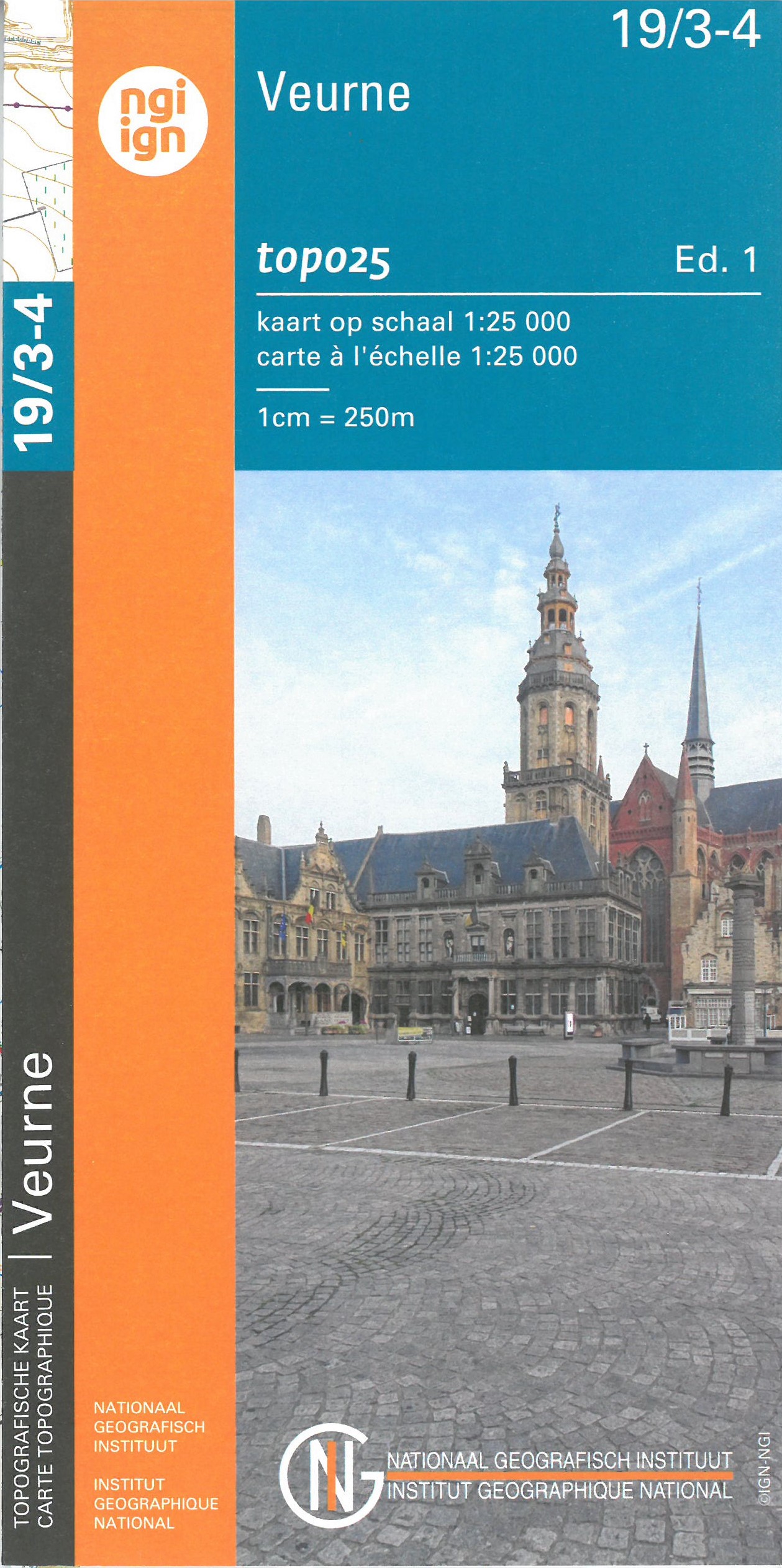
Netherlands
- Wandelkaart - Topografische kaart 19/3-4 Topo25 De Moeren - Veurne - Adinkerke - Alveringem | NGI - Nationaal Geografisch Instituut
- Topographical survey of Belgium at 1:20,000 from Nationaal Geografisch Instituut / Institut Géographique National, the country’s national survey organization. Each 20K map covers one quarter of the corresponding 1:50,000 map (with adjustments in the border and coastal areas). The maps provide all the information expected of topographic mapping... Read more
- Also available from:
- Stanfords, United Kingdom

United Kingdom
- Veurne NGI Topo 19/3-4
- Topographical survey of Belgium at 1:20,000 from Nationaal Geografisch Instituut / Institut Géographique National, the country’s national survey organization. Each 20K map covers one quarter of the corresponding 1:50,000 map (with adjustments in the border and coastal areas). The maps provide all the information expected of topographic mapping... Read more
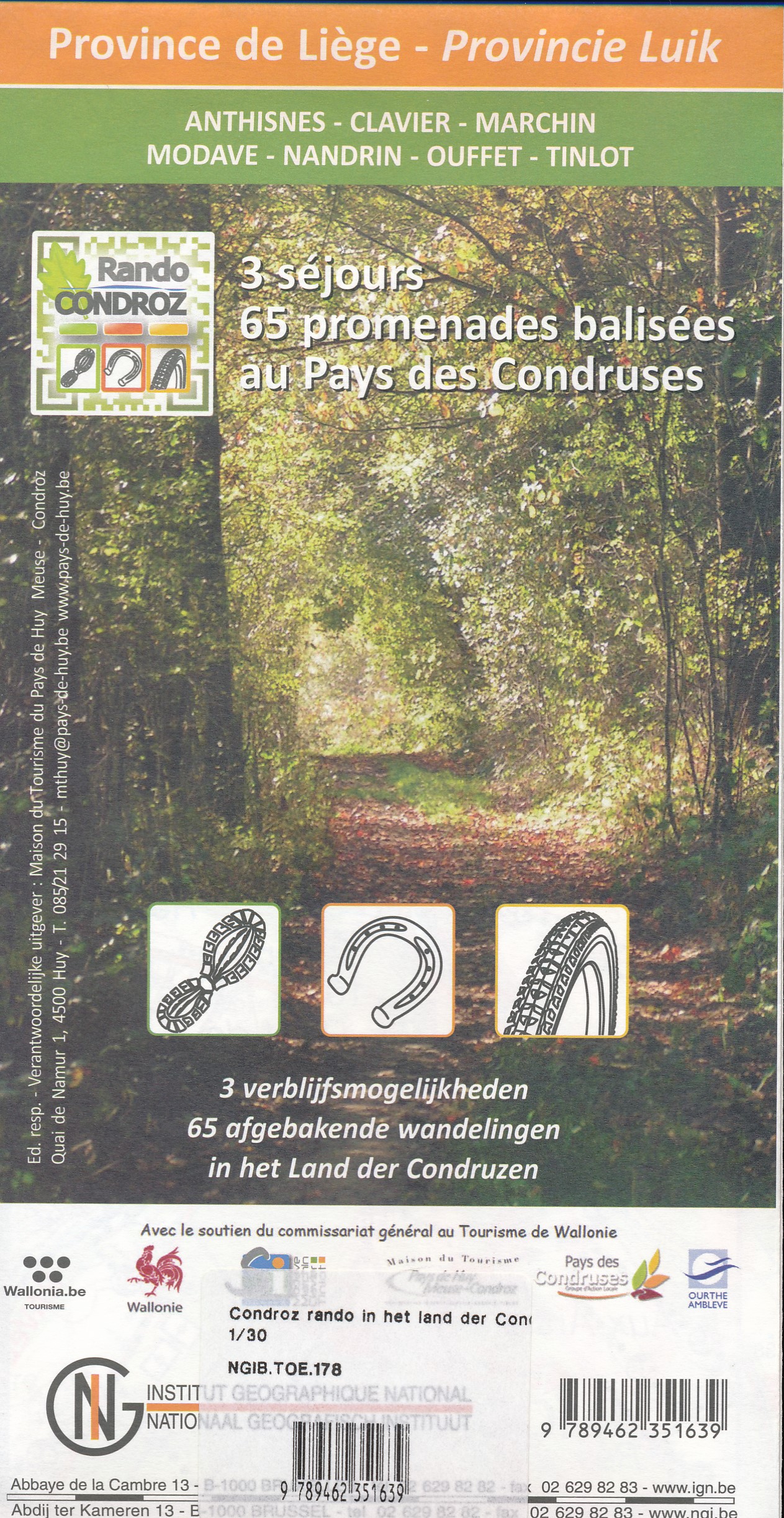
Netherlands
- Wandelkaart 178 Pays des Condruses - Land der Condruzen | NGI - Nationaal Geografisch Instituut
- Gedetailleerde wandelkaart van een bepaald gebied in de Belgische Ardennen. Veel ingetekende route en met symbolen worden alle toeristische aspecten weergegeven. Uitstekende kaart om vanuit een vast standplaats dagtochten te maken. 65 ingetekende wandelroutes Read more
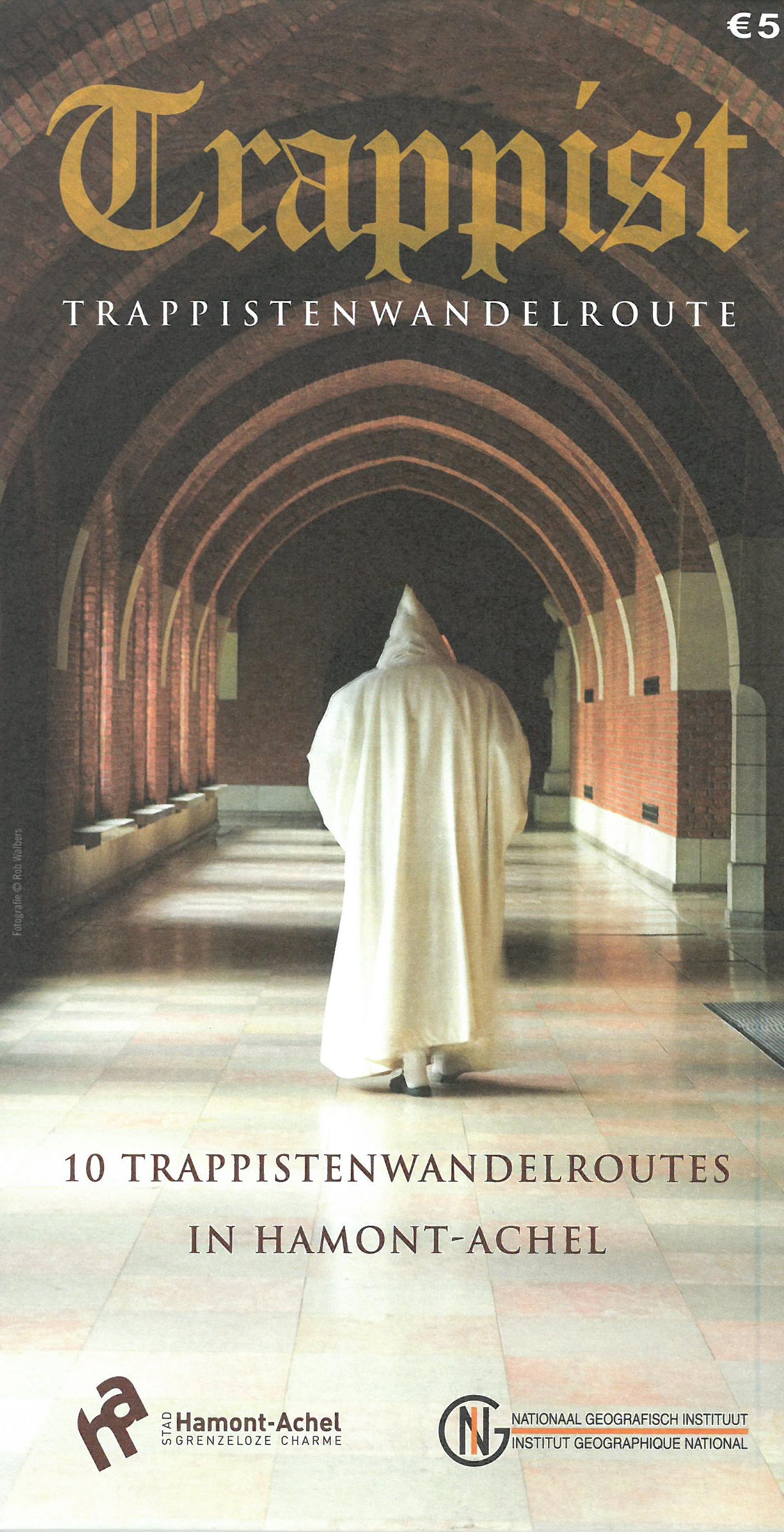
Netherlands
- Wandelkaart 223 Trappist - trappistenwandelroute | NGI - Nationaal Geografisch Instituut
- 7 in detail uitgestippelde wandelroutes, waarvan de naam naar zeven trappistenabdijen in België verwijzen. Hamont-Achel heeft een trappistenabdij "Achelse Kluis"; waar sinds 1998 opnieuw trappistenbier wordt gebrouwd. Verwacht geen rondwandeling langs alle trappistenbrouwerijen die genoemd worden: er is er maar eentje (maar wel een lekkere).... Read more
Netherlands
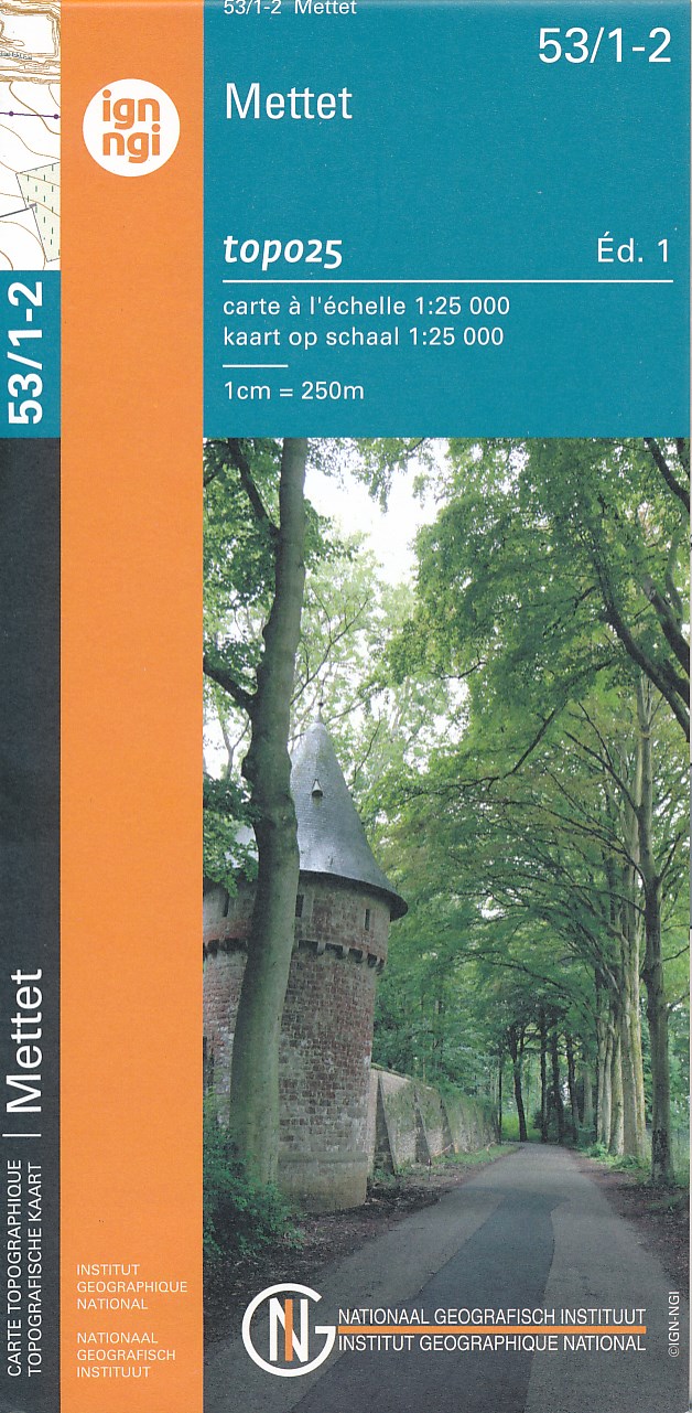
- Topografische kaart - Wandelkaart 53/1-2 Topo25 Biesme - Mettet | NGI - Nationaal Geografisch Instituut
- Topographical survey of Belgium at 1:20,000 from Nationaal Geografisch Instituut / Institut Géographique National, the country’s national survey organization. Each 20K map covers one quarter of the corresponding 1:50,000 map (with adjustments in the border and coastal areas). The maps provide all the information expected of topographic mapping... Read more
- Also available from:
- Stanfords, United Kingdom

United Kingdom
- Mettet NGI Topo 53/1-2
- Topographical survey of Belgium at 1:20,000 from Nationaal Geografisch Instituut / Institut Géographique National, the country’s national survey organization. Each 20K map covers one quarter of the corresponding 1:50,000 map (with adjustments in the border and coastal areas). The maps provide all the information expected of topographic mapping... Read more
Netherlands
- Wegenkaart - landkaart België (Belgium, Belgique) | Freytag & Berndt
- Belgien 1 : 300 000. Autokarte ab 10.9 EURO Citypläne, Touristische Informationen, Ortsregister mit Postleitzaglen freytag & berndt Auto + Freizeitkarten. Neuauflage, Laufzeit bis 2014 Read more
Netherlands
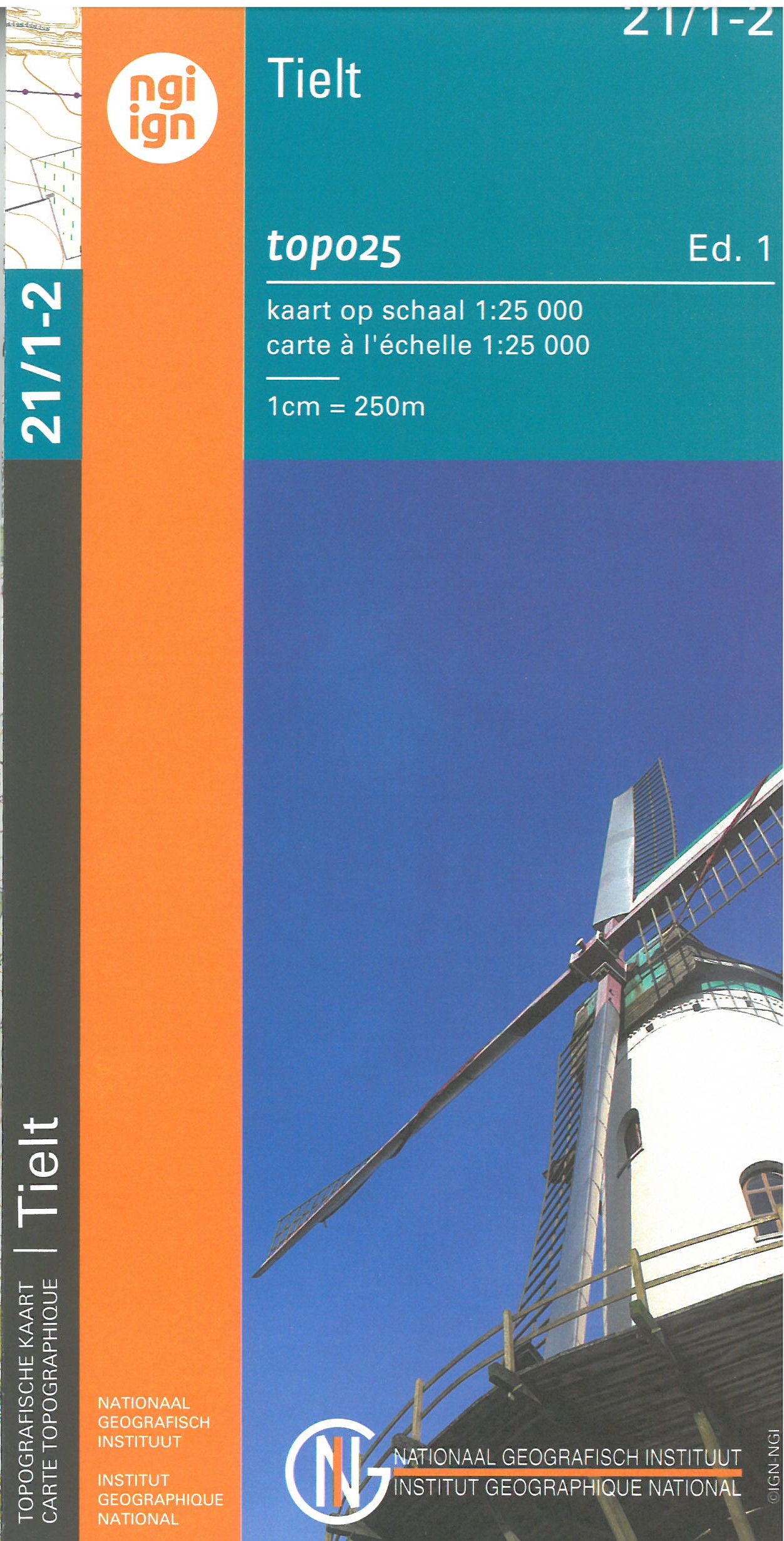
- Wandelkaart - Topografische kaart 21/1-2 Topo25 Wingene - Tielt - Ruislede | NGI - Nationaal Geografisch Instituut
- Zeer gedetailleerde topografische kaart van een deel van Belgie. Deze kaart is bijzonder geschikt voor wandeltochten, bijvoorbeeld in het heuvelachtige gebied van de Ardennen. Wel moet u bedenken dat op deze kaarten wandelroutes als zodanig niet staan ingetekend. Voorzien van alle topografische details als hoogtelijnen, waterlopen, bosgebieden,... Read more
- Also available from:
- Stanfords, United Kingdom

United Kingdom
- Tielt NGI Topo 21/1-2
- Topographical survey of Belgium at 1:20,000 from Nationaal Geografisch Instituut / Institut Géographique National, the country’s national survey organization. Each 20K map covers one quarter of the corresponding 1:50,000 map (with adjustments in the border and coastal areas). The maps provide all the information expected of topographic mapping... Read more
Netherlands
- Also available from:
- Stanfords, United Kingdom

United Kingdom
- Beaumont NGI Topo 52/5-6
- Topographical survey of Belgium at 1:20,000 from Nationaal Geografisch Instituut / Institut Géographique National, the country’s national survey organization. Each 20K map covers one quarter of the corresponding 1:50,000 map (with adjustments in the border and coastal areas). The maps provide all the information expected of topographic mapping... Read more
Netherlands
- Also available from:
- Stanfords, United Kingdom

United Kingdom
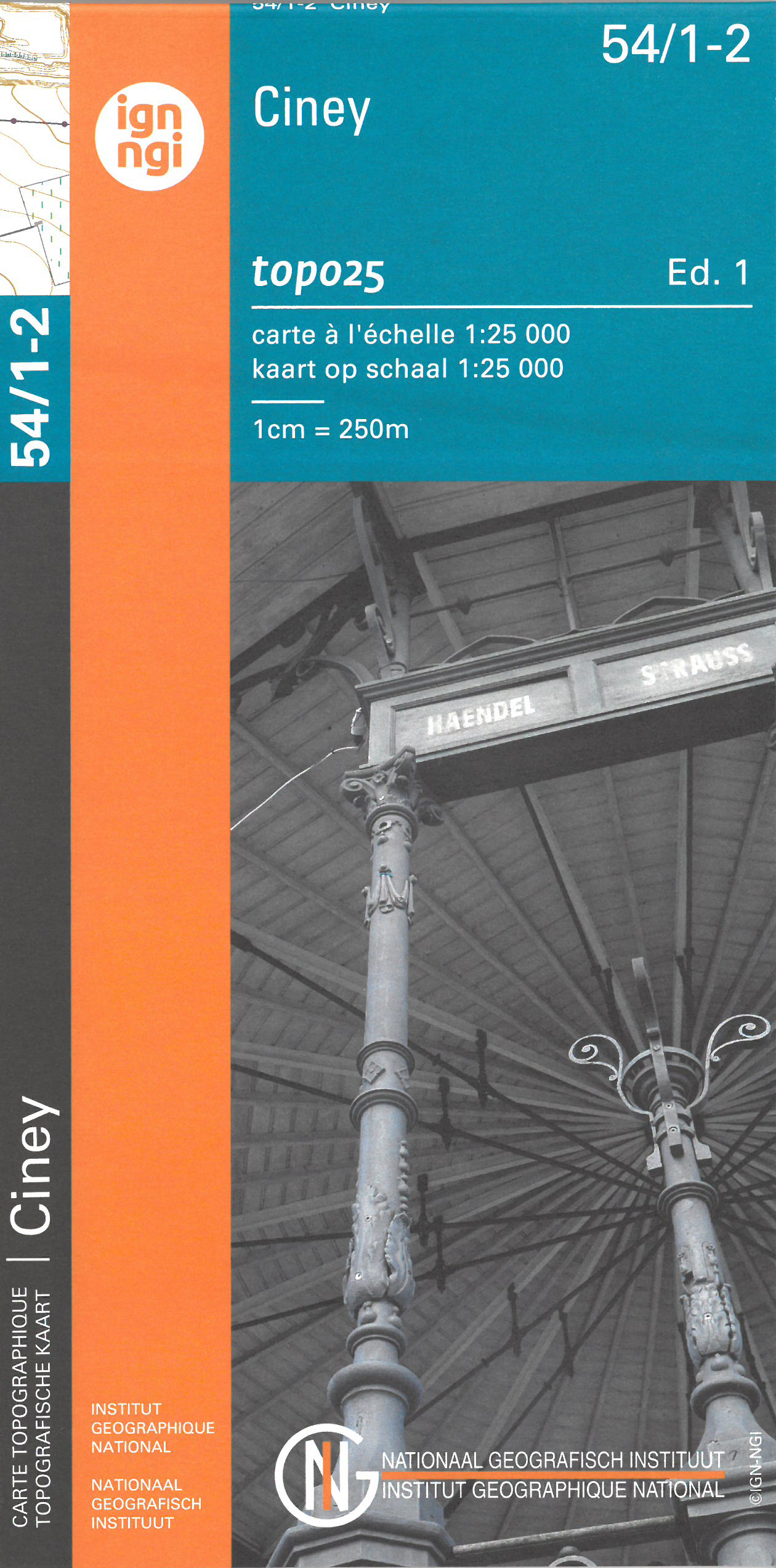
- Ciney NGI Topo 54/1-2
- Topographical survey of Belgium at 1:20,000 from Nationaal Geografisch Instituut / Institut Géographique National, the country’s national survey organization. Each 20K map covers one quarter of the corresponding 1:50,000 map (with adjustments in the border and coastal areas). The maps provide all the information expected of topographic mapping... Read more
Netherlands
- Also available from:
- Stanfords, United Kingdom

United Kingdom
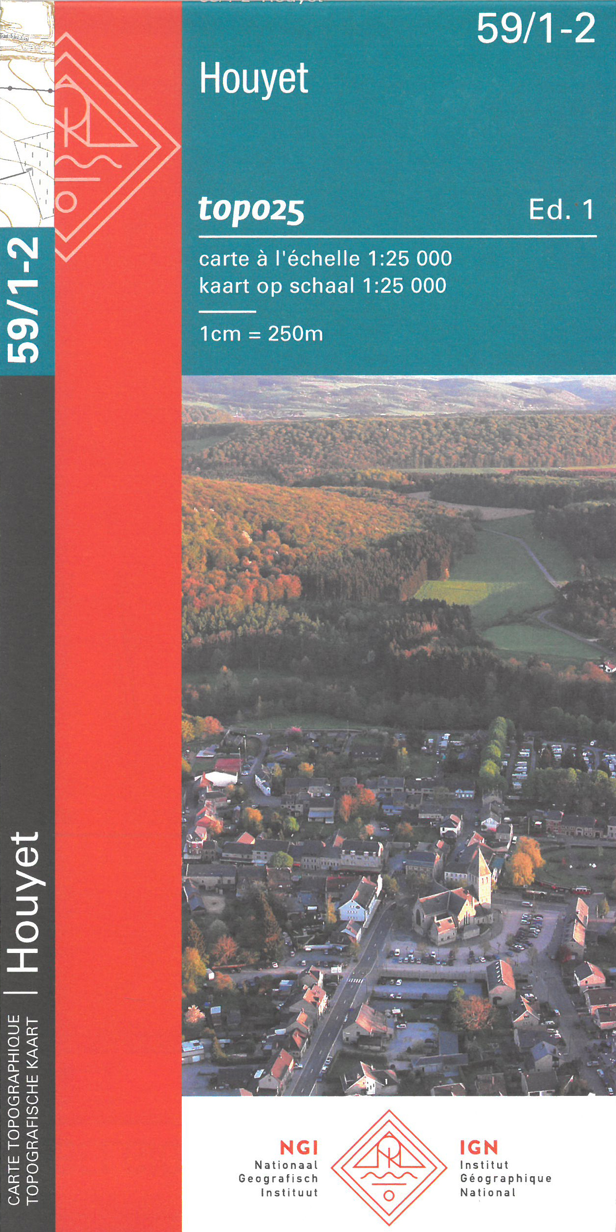
- Houyet NGI Topo 59/1-2
- Topographical survey of Belgium at 1:20,000 from Nationaal Geografisch Instituut / Institut Géographique National, the country’s national survey organization. Each 20K map covers one quarter of the corresponding 1:50,000 map (with adjustments in the border and coastal areas). The maps provide all the information expected of topographic mapping... Read more
Netherlands
- Also available from:
- Stanfords, United Kingdom
United Kingdom
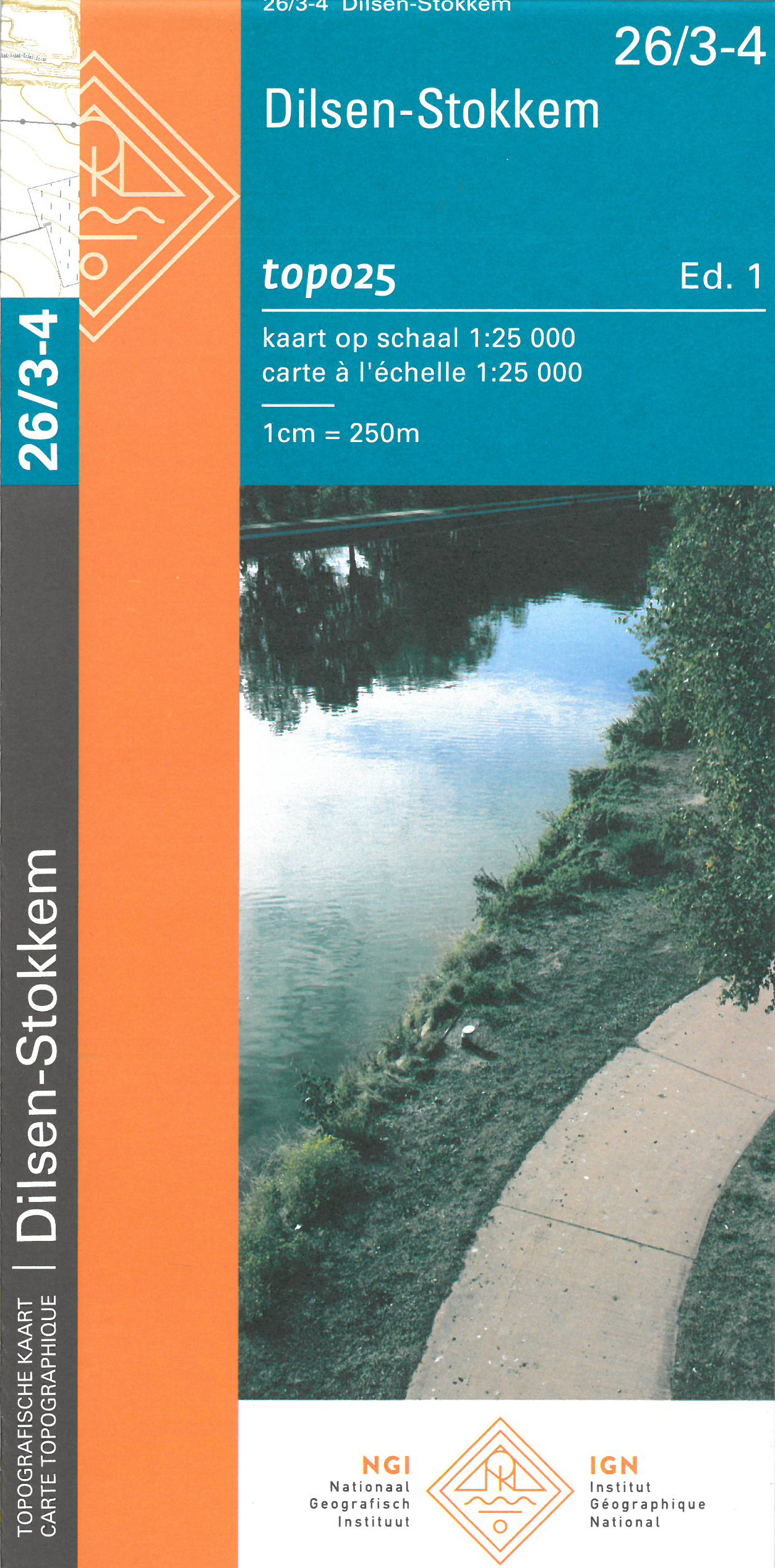
- Dilsen-Stokkem NGI Topo 26/3-4
- Topographical survey of Belgium at 1:20,000 from Nationaal Geografisch Instituut / Institut Géographique National, the country’s national survey organization. Each 20K map covers one quarter of the corresponding 1:50,000 map (with adjustments in the border and coastal areas). The maps provide all the information expected of topographic mapping... Read more