Provence
Beschreibung

The south of France, along the Mediterranean coast, is a popular destination. Many trails cross this varied region.
Karte

Wanderwege Region
- E7GPX
- GR4GPX
- GR42GPX
- GR49GPX
- GR51 - Balcons de la MéditerranéeGPX
- GR510 - Sentier des huit valléesGPX
- GR52 - Vallée des MerveillesGPX
- GR6GPX
- GR63GPX
- GR653 - Via TolosanaGPX
- GR653A - Via AureliaGPX
- GR653D - Voie d’ArlesGPX
- GR9GPX
- GR90GPX
- GR91 - Traversée du VercorsGPX
- GR92GPX
- GR97 - Tour du LuberonGPX
- GR98 - Les CalanquesGPX
- GR99 - Gorges du VerdonGPX
- GR99AGPX
Links
Fakten
Berichte
Führer und Karten
Übernachtung
Organisationen
Reisebüros
GPS
Sonstiges
Bücher

- Also available from:
- De Zwerver, Netherlands

- Also available from:
- Stanfords, United Kingdom

Stanfords
United Kingdom
2021
United Kingdom
2021
- Volcan du Cantal et Pays de Saint-Flour - Haute-Auvergne GR400/4
- Volcan du Cantal: Pays de Saint-Flour et de Ruynes-en-Margeride, FFRP topoguide, Ref. No. 400, covering 600kms of long-distance paths in the Cantal region of the Massif Central, which can also be walked as shorter circuits. Current edition of this title was published in July 2013.To see other titles in this series please click on the series... Read more


- Also available from:
- De Zwerver, Netherlands


- Also available from:
- De Zwerver, Netherlands

- Also available from:
- Stanfords, United Kingdom
Stanfords
United Kingdom
2021
United Kingdom
2021
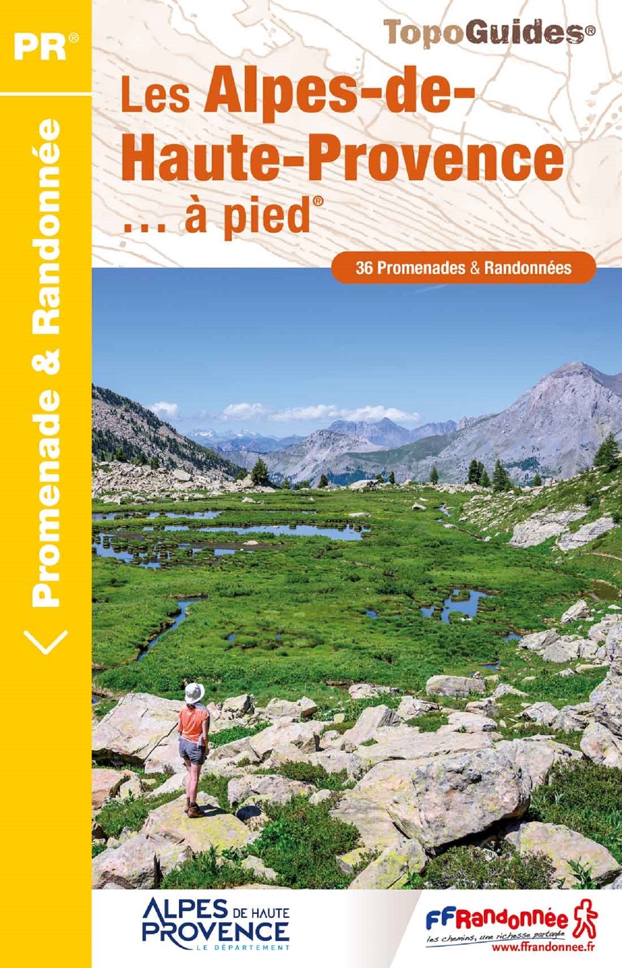
- Les Alpes-de-Haute-Provence a pied
- 36 walks through the Montagne de Lure, the Valensole plateau, the Verdon gorges, the Luberon and Mercantour parks ... Edition 2017Alps (France) Read more

- Also available from:
- De Zwerver, Netherlands

- Also available from:
- De Zwerver, Netherlands

The Book Depository
United Kingdom
2021
United Kingdom
2021
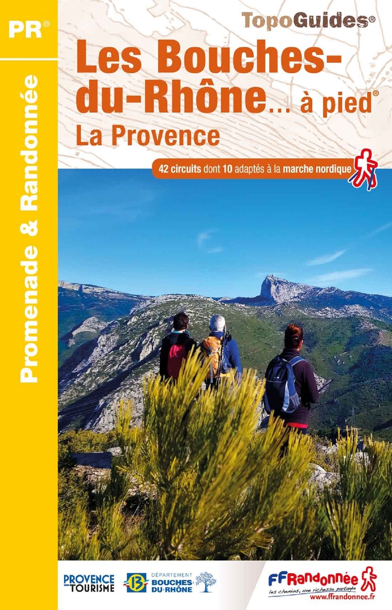
- Bouches-du-Rhone a pied la Provence
- Les Bouche-du-Rhône à pied, FFRP topo-guide Ref. No. D013, with 42 day walks of varying length and difficulty in the Department of Bouche-du-Rhône on the Mediterranean coast of France. Coverage includes walks near Marseille, Aix-les-Provence, the Alpilles chain with St-Rémy-de Provence, Arles, etc. Each walk is presented on a separate colour... Read more
- Also available from:
- De Zwerver, Netherlands
- Stanfords, United Kingdom
De Zwerver
Netherlands
2021
Netherlands
2021
- Wandelgids D013 Les Bouches-du-Rhône a pied | FFRP
- Les Bouche-du-Rhône à pied, FFRP topo-guide Ref. No. D013, with 42 day walks of varying length and difficulty in the Department of Bouche-du-Rhône on the Mediterranean coast of France. Coverage includes walks near Marseille, Aix-les-Provence, the Alpilles chain with St-Rémy-de Provence, Arles, etc. Each walk is presented on a separate colour... Read more

Stanfords
United Kingdom
2021
United Kingdom
2021
- Les Bouches-du-Rhone ... a Pied - La Provence
- Les Bouche-du-Rhône à pied, FFRP topo-guide Ref. No. D013, with 42 day walks of varying length and difficulty in the Department of Bouche-du-Rhône on the Mediterranean coast of France. Coverage includes walks near Marseille, Aix-les-Provence, the Alpilles chain with St-Rémy-de Provence, Arles, etc. Each walk is presented on a separate colour... Read more

The Book Depository
United Kingdom
United Kingdom
- Where the Wild Winds Are
- Walking Europe's Winds from the Pennines to Provence Read more
- Also available from:
- Stanfords, United Kingdom

Stanfords
United Kingdom
United Kingdom
- Where the Wild Winds Are: Walking Europe`s Winds from the Pennines to Provence Signed Copy
- Signed by the authorShortlisted for the 2018 Edward Stanford Travel Writing Award`s Stanford Dolman Travel Book of the YearNick Hunt sets off on an unlikely quest: to follow four of Europe`s winds across the continent. His wind-walks begin on Cross Fell, the highest point of the Pennines, as he chases the roaring Helm - the only named wind in... Read more

- Also available from:
- De Zwerver, Netherlands

The Book Depository
United Kingdom
2023
United Kingdom
2023
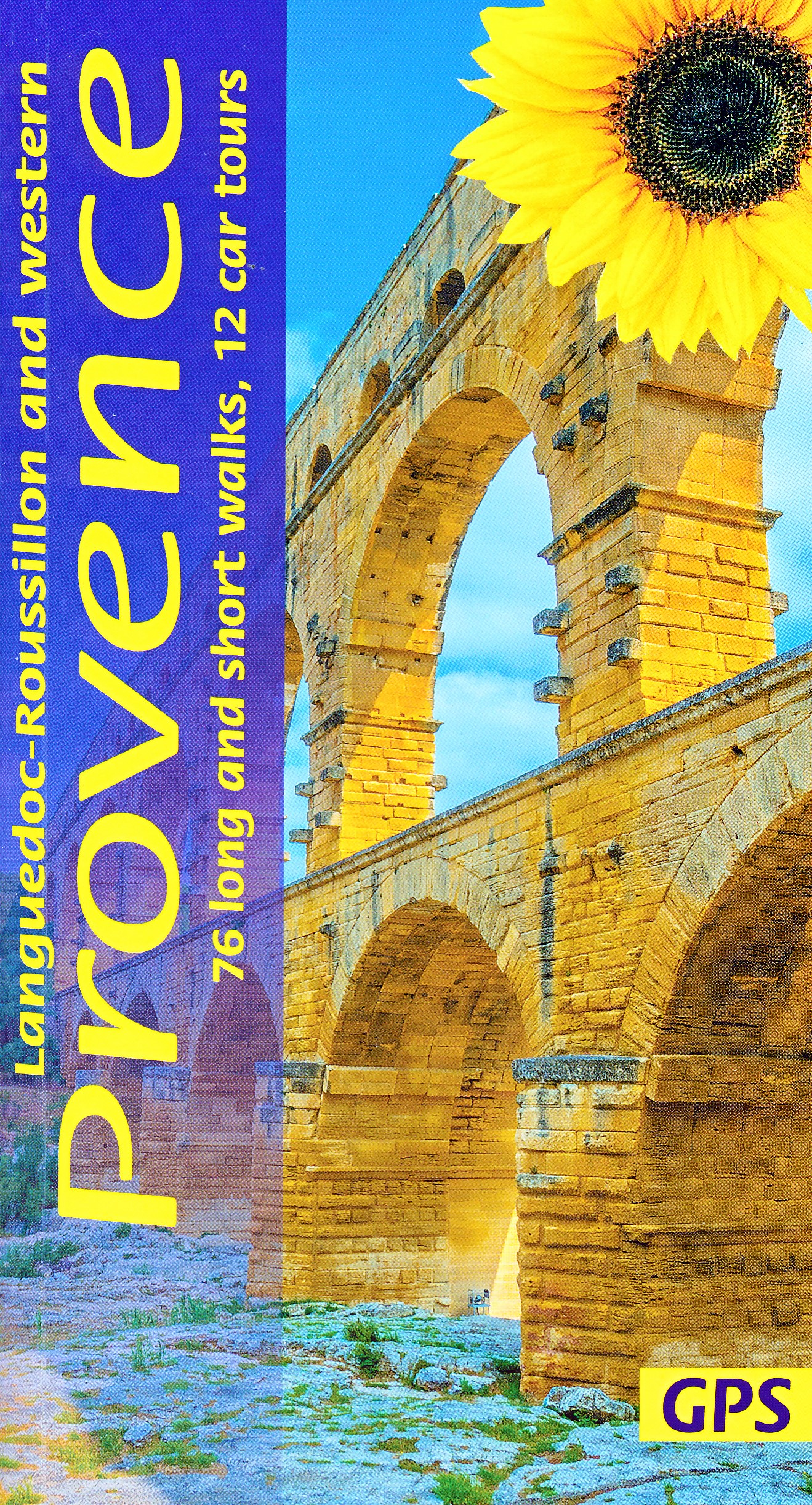
- Western Provence Sunflower Walking Guide
- 76 long and short walks, 12 car tours Read more
- Also available from:
- De Zwerver, Netherlands
De Zwerver
Netherlands
2023
Netherlands
2023
- Reisgids - Wandelgids Languedoc-Roussillon and Western Provence | Sunflower books
- 76 long and short walks, 12 car tours Read more

The Book Depository
United Kingdom
2020
United Kingdom
2020
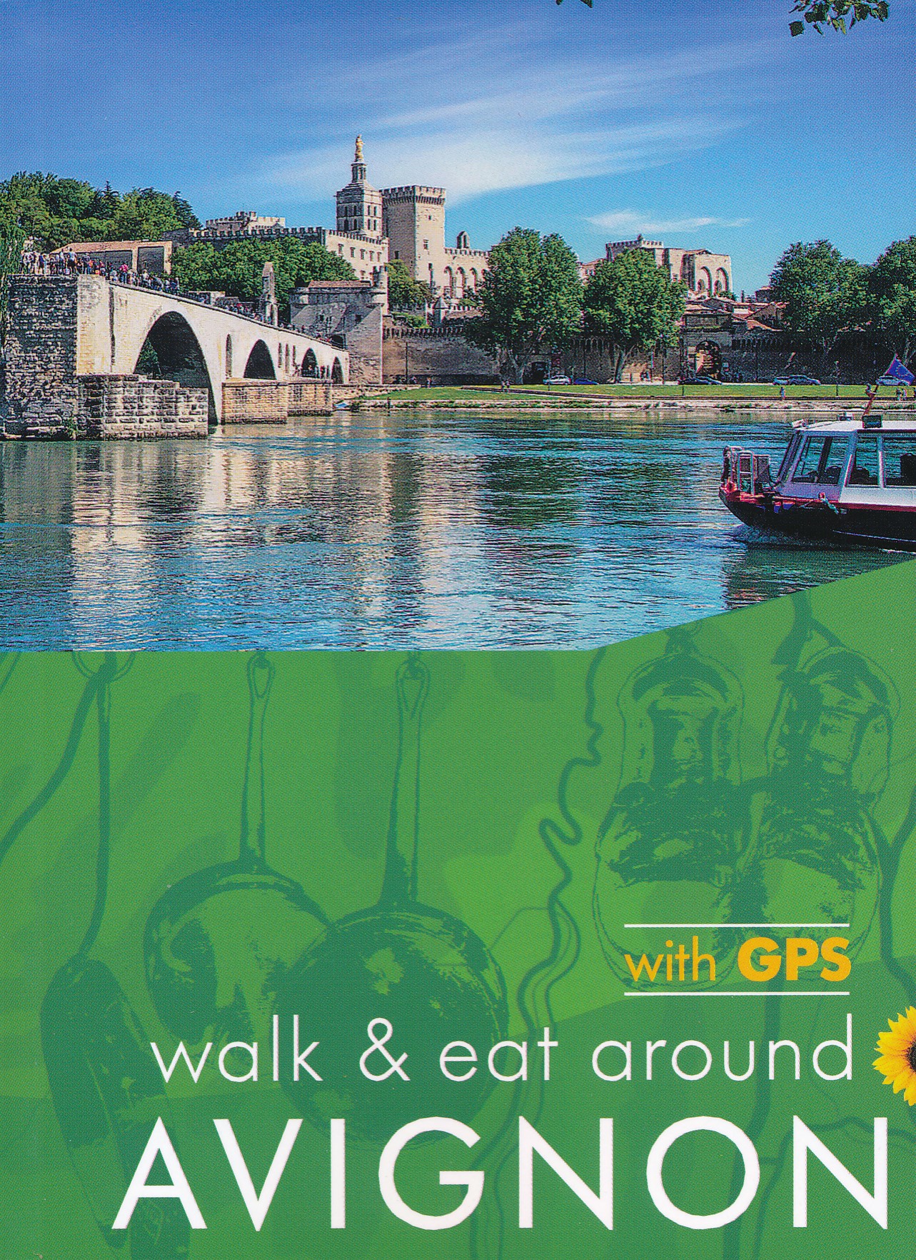
- Avignon Walk and Eat Sunflower Guide
- Walks, restaurants and recipes Read more
- Also available from:
- De Zwerver, Netherlands
- Stanfords, United Kingdom
De Zwerver
Netherlands
2020
Netherlands
2020
- Wandelgids Walk & Eat Avignon | Sunflower books
- Travel by TGV to Avignon (`city of the Popes`), then get around by local transport. This guide describes walks and restaurants in the surrounding area, from the Roman cities and sites of Nimes, Arles, Pont du Gard and St-Remy to the `must-see` villages of Gordes, Les Baux and Barbentane and the gorgeous countryside of the Alpilles mountain chain. Read more

Stanfords
United Kingdom
2020
United Kingdom
2020
- Avignon - Walk & Eat
- This pocket-sized full-colour guide is designed for short-break holidays to Provence using fast train services (or flights). It describes easy city and countryside walks, and recommends restaurants en route (with sample menus).From the Roman cities and sites of Nimes, Arles, Pont du Gard and St-Remy to the `must-see` villages of Gordes, Les... Read more

- Also available from:
- Stanfords, United Kingdom
Stanfords
United Kingdom
2021
United Kingdom
2021
- Tour des Monts d`Aubrac GRP/GR60/GR6
- Tour des Monts d`Aubrac, FFRP topoguide Ref. No. 616, covering 259kms of hiking circuits in the Massif Central along the GR6, GR60 and GR65. Current edition of this title was published in May 2016.ABOUT THE FFRP (Fédération française de la randonnée pédestre) TOPOGUIDES: published in a handy A5 paperback format, the guides are the best... Read more
Karten

- Also available from:
- De Zwerver, Netherlands
- Stanfords, United Kingdom
De Zwerver
Netherlands
Netherlands

Stanfords
United Kingdom
United Kingdom
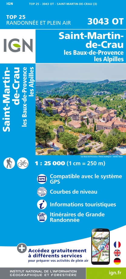
- Saint-Martin-de-Crau - les Baux-de-Provence - les Alpilles IGN 3043OT
- Between 2014 and 2019, the IGN renewed its entire Serie Bleue collection.A new map for optimal readability, with better geometric precision and enriched tourist information.A new format twice as large: the format of the new Serie Bleue is equivalent to that of the Top 25 and the number of references will thus be divided by 2.For most maps, the... Read more

- Also available from:
- De Zwerver, Netherlands
- Stanfords, United Kingdom
De Zwerver
Netherlands
Netherlands


- Also available from:
- De Zwerver, Netherlands
- Stanfords, United Kingdom
De Zwerver
Netherlands
Netherlands

Stanfords
United Kingdom
United Kingdom
- Moyenne Tinee - la Colmiane-Valdeblore - PN du Mercantour IGN 3641ET
- Topographic survey of France at 1:25,000 in IGN`s excellent TOP25 / Série Bleue series. All the maps are GPS compatible, with a 1km UTM grid plus latitude and longitude lines at 5’ intervals. Contours are at 5m intervals except for mountainous areas where the maps have contours at 10m intervals, vividly enhanced by hill shading and graphics for... Read more

- Also available from:
- De Zwerver, Netherlands
- Stanfords, United Kingdom
De Zwerver
Netherlands
Netherlands

Stanfords
United Kingdom
United Kingdom
- Digne-les-Bains - Sisteron - Les Mees IGN 3340ET
- Topographic survey of France at 1:25,000 in IGN`s excellent TOP25 / Série Bleue series. All the maps are GPS compatible, with a 1km UTM grid plus latitude and longitude lines at 5’ intervals. Contours are at 5m intervals except for mountainous areas where the maps have contours at 10m intervals, vividly enhanced by hill shading and graphics for... Read more

- Also available from:
- De Zwerver, Netherlands
- Stanfords, United Kingdom

De Zwerver
Netherlands
Netherlands
Stanfords
United Kingdom
United Kingdom
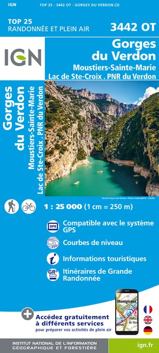
- Annot - Saint-Andre-les-Alpes - PNR du Verdon IGN 3541OT
- Topographic survey of France at 1:25,000 in IGN`s excellent TOP25 / Série Bleue series. All the maps are GPS compatible, with a 1km UTM grid plus latitude and longitude lines at 5’ intervals. Contours are at 5m intervals except for mountainous areas where the maps have contours at 10m intervals, vividly enhanced by hill shading and graphics for... Read more

- Also available from:
- De Zwerver, Netherlands
- Stanfords, United Kingdom
De Zwerver
Netherlands
Netherlands

Stanfords
United Kingdom
United Kingdom
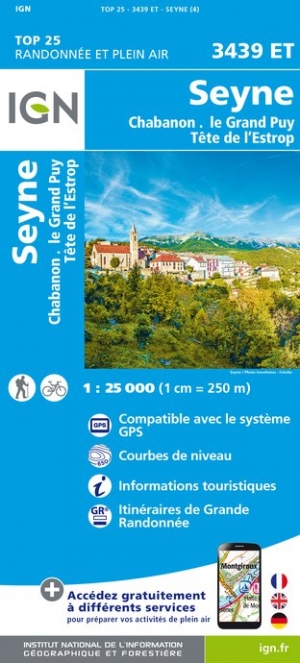
- Seyne - Chabanon - le Grand Puy - Tete de l`Estrop IGN 3439ET
- Topographic survey of France at 1:25,000 in IGN`s excellent TOP25 / Série Bleue series. All the maps are GPS compatible, with a 1km UTM grid plus latitude and longitude lines at 5’ intervals. Contours are at 5m intervals except for mountainous areas where the maps have contours at 10m intervals, vividly enhanced by hill shading and graphics for... Read more

- Also available from:
- De Zwerver, Netherlands
- Stanfords, United Kingdom
De Zwerver
Netherlands
Netherlands

Stanfords
United Kingdom
United Kingdom
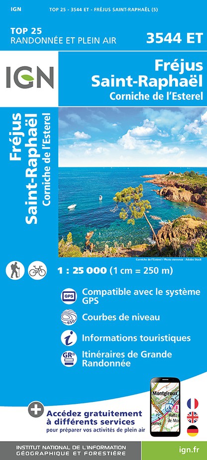
- Frejus - Saint-Raphael - Corniche de l`Esterel IGN 3544ET
- Topographic survey of France at 1:25,000 in IGN`s excellent TOP25 / Série Bleue series. All the maps are GPS compatible, with a 1km UTM grid plus latitude and longitude lines at 5’ intervals. Contours are at 5m intervals except for mountainous areas where the maps have contours at 10m intervals, vividly enhanced by hill shading and graphics for... Read more

- Also available from:
- De Zwerver, Netherlands

The Book Depository
United Kingdom
United Kingdom
- St-Tropez / Ste-Maxime / Massif des Maures
- Topographic survey of France at 1:25,000 in IGN`s excellent TOP25 / S�rie Bleue series. All the maps are GPS compatible, with a 1km UTM grid plus latitude and longitude lines at 5� intervals. Contours are at 5m intervals except for mountainous areas where the maps have contours at 10m intervals, vividly enhanced by hill shading and graphics for ... Read more
- Also available from:
- Stanfords, United Kingdom

Stanfords
United Kingdom
United Kingdom
- Saint-Tropez - Sainte-Maxime - Massif des Maures IGN 3545OT
- Topographic survey of France at 1:25,000 in IGN`s excellent TOP25 / Série Bleue series. All the maps are GPS compatible, with a 1km UTM grid plus latitude and longitude lines at 5’ intervals. Contours are at 5m intervals except for mountainous areas where the maps have contours at 10m intervals, vividly enhanced by hill shading and graphics for... Read more

- Also available from:
- De Zwerver, Netherlands
- Stanfords, United Kingdom
De Zwerver
Netherlands
Netherlands

Stanfords
United Kingdom
United Kingdom
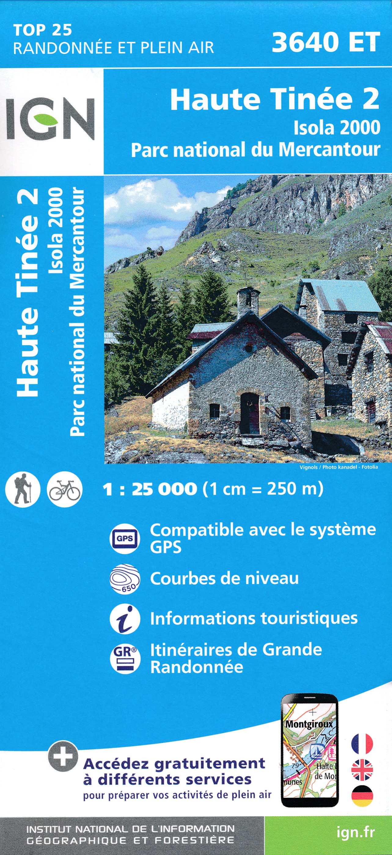
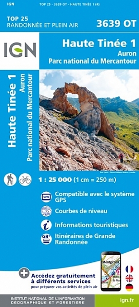
- Haute Tinee 1 - Auron - PN du Mercantour IGN 3639OT
- Topographic survey of France at 1:25,000 in IGN`s excellent TOP25 / Série Bleue series. All the maps are GPS compatible, with a 1km UTM grid plus latitude and longitude lines at 5’ intervals. Contours are at 5m intervals except for mountainous areas where the maps have contours at 10m intervals, vividly enhanced by hill shading and graphics for... Read more

- Also available from:
- De Zwerver, Netherlands
- Stanfords, United Kingdom

De Zwerver
Netherlands
Netherlands
- Also available from:
- De Zwerver, Netherlands


- Also available from:
- De Zwerver, Netherlands
- Stanfords, United Kingdom

De Zwerver
Netherlands
Netherlands

Stanfords
United Kingdom
United Kingdom
- Montpellier - Nimes - Beziers IGN TOP100 170
- Discover the new double-sided laminated edition of TOP100 road maps of France from the Institut Géographique National (IGN); exceptionally detailed, contoured road maps which include the cycle paths and greenways of the AF3V (French Association for the Development of Cycle Paths and Greenways), ideal for exploring the French countryside by car,... Read more

The Book Depository
United Kingdom
United Kingdom
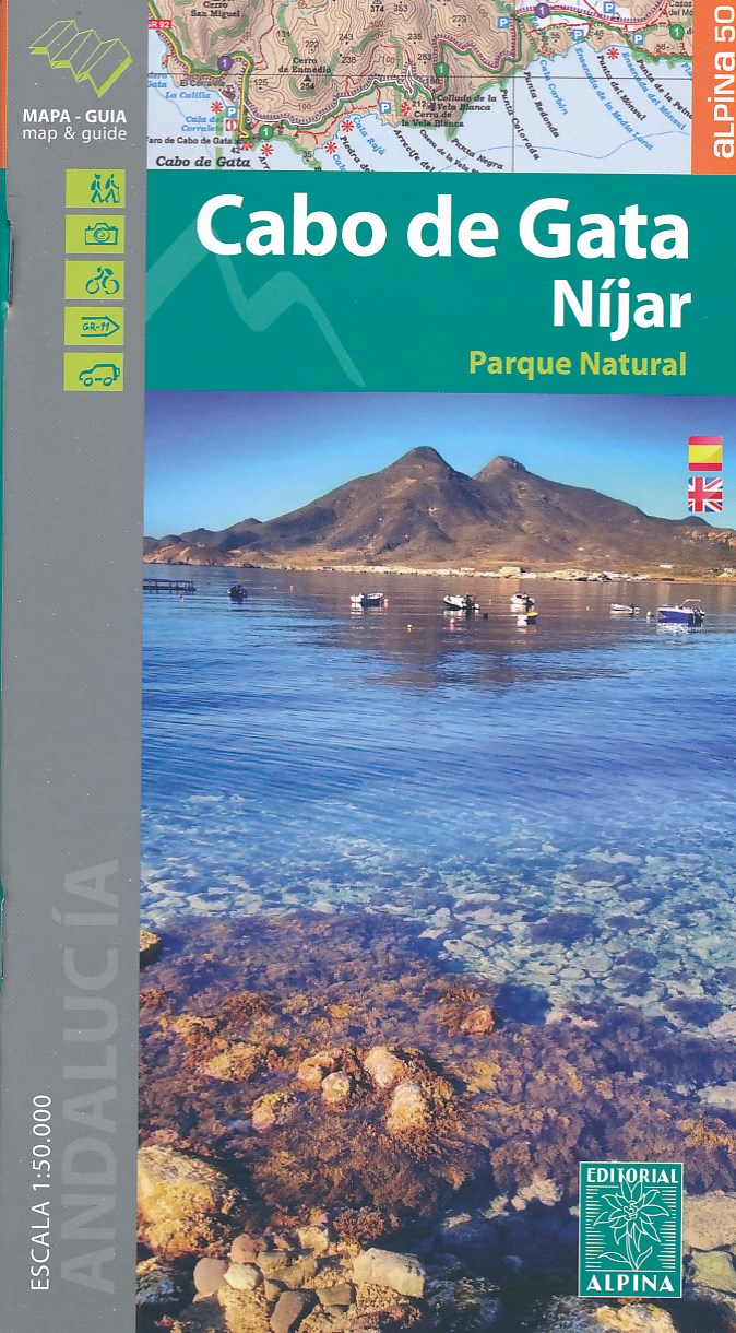
- Cabo de Gata / Nijar
- Gedetailleerde wandelkaart van een interessant wandelgebied. Uitstekend leesbaar, inhoudelijk een goede kaart met allerhande informatie op topografische basis waarbij wandelroutes, campings en hutten. Bij een aantal Alpina kaarten is een boekje bijgevoegd met routes. Door de toevoeging van gradengrid is deze kaart bruikbaar voor GPS. Cabo da... Read more
- Also available from:
- De Zwerver, Netherlands
- Stanfords, United Kingdom
De Zwerver
Netherlands
Netherlands
- Wandelkaart Cabo de Gata - Nijar | Editorial Alpina
- Gedetailleerde wandelkaart van een interessant wandelgebied. Uitstekend leesbaar, inhoudelijk een goede kaart met allerhande informatie op topografische basis waarbij wandelroutes, campings en hutten. Bij een aantal Alpina kaarten is een boekje bijgevoegd met routes. Door de toevoeging van gradengrid is deze kaart bruikbaar voor GPS. Cabo da... Read more

Stanfords
United Kingdom
United Kingdom
- Cabo de Gata-Níjar Natural Park Editorial Alpina
- Cabo da Gata area on the south-eastern tip of Andalucía on a contoured and GPS compatible map at 1:50,000 from Editorial Alpina highlighting hiking and cycling trails, plus a booklet with English language descriptions of recommended routes, accommodation lists, etc.Topography is shown by contours at 20m intervals, with relief shading and... Read more

- Also available from:
- De Zwerver, Netherlands
- Stanfords, United Kingdom