
Santiago de Compostela Pilgrims Way
Beschreibung
- Name Santiago de Compostela Pilgrims Way
- Ende von Wanderweg Santiago de Compostela
- Traildino Schwierigkeit MW, Mittelschwere Wanderung mit Rucksack
- Schwierigkeitsgrad Berg- und Alpinwanderung T1, Wandern


Ever since the year 813, when the tomb of St.James was claimed to be (re-)discovered there, the city of Santiago de Compostela in northwestern Spain has attracted many thousands of Christian pilgrims from all parts of Europe, particularly in the Middle Ages. As a result, there is no single route or trail. Of course, it all depends on where you start your pilgrimage.
Almost every West European country has an association, society or confraternity dedicated to pilgrimage to Santiago de Compostela, often carrying the name of the apostle involved: St.James, known by numerous translations such as Sint Jacob, Sint Jakobus, Saint-Jacques, Sankt Jakob, Sant Iago, etc. These organisations all provide information on the pilgrimage to their members, and also issue an official internationally recognized ‘pilgrim pass'. Having collected the correct stamps en route, pass-holders are entitled to the official ‘Compostela' certificate to prove that the pilgrimage was accomplished as intended.
Visit Traildino's overview page for the Way of Saint James / Camino de Santiago.
Karte


Links
Fakten
Berichte
Führer und Karten
Übernachtung
Organisationen
Reisebüros
GPS
Sonstiges
Bücher

United Kingdom
- A Walk in Spain
- Spiritual Awakening on the Camino de Santiago Read more


United Kingdom
2022
- A Pilgrim's Guide to Sarria - Santiago
- The Final 7 Stages of the Camino De Santiago Frances Read more

United Kingdom
- Caminhando Com as Estrelas
- Vivendo entre histórias, lendas e um turbilhão de emoções no Caminho de Santiago. Read more

United Kingdom
2020
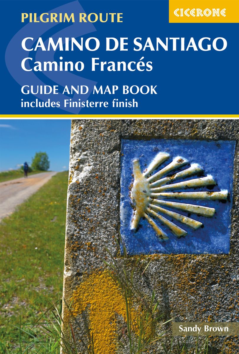
- Camino de Santiago: Camino Frances
- Guide and map book - includes Finisterre finish Read more
- Also available from:
- De Zwerver, Netherlands
Netherlands
2020
- Wandelgids - Pelgrimsroute Camino de Santiago - Camino Frances | Cicerone
- Guidebook and map book to walking the 784km Camino Frances from St Jean-Pied-de-Port in southern France to Santiago de Compostela in Spain, including an additional route to Finisterre. Split into 6 sections and 36 customisable stages, the guide lists over 500 pilgrim hostels. The map book covers the entire route, which can be walked in 4-5 weeks. Read more

United Kingdom
- Northward To Santiago
- A Curmudgeon On The Camino Portugues Read more

United Kingdom
2019
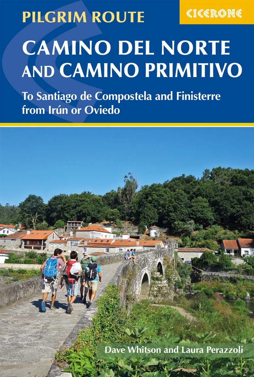
- The Camino del Norte and Camino Primitivo
- To Santiago de Compostela and Finisterre from Irun or Oviedo Read more
- Also available from:
- De Zwerver, Netherlands
Netherlands
2019
- Wandelgids - Pelgrimsroute The Camino del Norte and Camino Primitivo | Cicerone
- Guidebook to walking the Camino del Norte and Camino Primitivo pilgrim routes to Santiago de Compostela in northwest Spain. The 817km Camino del Norte from Irún via Bilbao and Santander takes around 5 weeks to complete. The 355km Camino Primitivo takes about 2 weeks. Includes the Camino Finisterre from Santiago to the coast. Read more

United Kingdom
2023
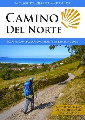
- Camino del Norte
- Irun to Santiago along Spain's Northern Coast Read more
- Also available from:
- De Zwerver, Netherlands
Netherlands
2023
- Wandelgids Camino Del Norte | Village to Village Press
- Irun to Santiago along Spain's Northern Coast Read more

United Kingdom
2018
- The Camino Portugues
- From Lisbon and Porto to Santiago - Central, Coastal and Spiritual Caminos Read more

United Kingdom

United Kingdom
2022
- Camino De Santiago
- SantiagoCamino Frances: St. Jean - Santiago - Finisterre Read more

United Kingdom
- Toward Beauty
- Reigniting a Creative Life on the Camino de Santiago Read more

United Kingdom
2020
- Camino de Santiago Maps
- St. Jean Pied de Port - Santiago de Compostela Read more

United Kingdom
- The Way of the Gardener
- Lost in the Weeds Along the Camino de Santiago Read more

United Kingdom
Karten

Netherlands
2020
- Wandelatlas - Pelgrimsroute (kaart) 161 Chemins de Compostelle GR65 | Michelin
- Véritable petit atlas détaillant chaque étape avec indications précises concernant les villes de départ et d'arrivée ainsi que pour les localités traversées (auberges, refuges, restaurants, pharmacies, gare, épiceries, Km parcourus, Km restants....).Ce petit atlas suit le chemin du... Read more

Netherlands
2020
- Wandelatlas - Pelgrimsroute (kaart) 160 Camino de Santiago | Michelin
- Parcourez le Chemin Français (Camino Francés) avec ce petit atlas de poche Michelin. L'outil idéal pour mieux s'y retrouver lors de la préparation du voyage de randonnée sur ce sentier historique qui part de Saint-Jean-Pied-de-Port, dans le Pays basque français, et qui traverse tout le nord de l'Espagne... Read more

Netherlands
- Wegenkaart - landkaart Cuba east | ITMB
- Cuba East 1:42 0000 ab 10.49 EURO Landkarte, doppelseitig Pläne Varadero, Cienfuegos, Trinidad, Santiago International Travel Map ITM. 1. Auflage Read more
Netherlands
- Wegenkaart - landkaart Cuba | ITMB
- Cuba ( Kuba) 1 : 600 000 ab 10.49 EURO La Habana, Varadero, Santiago de Cuba International Travel Map ITM. new edition Read more
Netherlands
- Wegenkaart - landkaart Spanje Noord - Camino de Santiago | Freytag & Berndt
- Spanien - Jakobsweg, Autokarte 1:400.000 ab 10.9 EURO Touristische Informationen, Pilgerpass, Citypläne, Ortsregister mit GPS Freytag & Berndt Autokarte Read more
Netherlands
- Wegenkaart - landkaart 571 Galicia - Santiago de Compostela - Vigo - La Curuna (Galicië) noordwest Spanje | Michelin
- Une carte fiable pour parcourir les régions d'Europe Read more
Netherlands
- Wegenkaart - landkaart Chile - Chili | Borch
- Chile 1 : 2 000 000 ab 9.9 EURO Maps: Chile sur Patagonia 1:2 000 000, Parque Nacional Torres del Paine 1:240 000, Isla Robinson Crusoe 1:200 000, Rapa Nui Isla de Pascua 1:160 000, Punta Arenas, Antofagasta, Iquique 1:15 000, Valparaíso 1:10 000, Arica 1:16 000, La Serena 1:13 000, Viña del Mar 1:22 000, Santiago 1:20 000 Borch Map. 7. Auflage Read more
Netherlands
- Wegenkaart - landkaart Cuba | Borch
- Kuba 1 : 1 000 000. Road Map ab 9.9 EURO Einzelkarten: Cuba West 1:1 000 000, Cuba East 1:1 000 000, La Habana 1:16 000, Varadero 1:25 000, Playas del Este 1:22 000, Santiago de Cuba 1:16 000, Cuba administrative & time zones Borch Maps. 7. Auflage Read more
Netherlands
- Wegenkaart - landkaart Dominicaanse Republiek | Borch
- Dominican Republic / Republica Dominicana 1 : 600 000 ab 9.9 EURO Dominican Republic, Puerto Plata & Region, Puerto Plata, Santiago, Santo Domingo & Region, Santo Domingo, Colonial Santo Domingo Borch Maps. Neuauflage, Nachdruck Read more

United Kingdom
- Compostella Cycling Route: St-Jean-Pied-de-Port - Santiago de Compostela (980km) Bikeline Map/Guide
- The 980km long Spanish section of the Way of St. James, from St-Jean-Pied-de-Port in France across the Pyrenees to Pamplona and on to Santiago de Compostela, presented by the Verlag Esterbauer in guide with maps at 1:75,000 showing the route and its variants. Coverage includes the section west from Santiago de Compostela to Cape Finisterre, and... Read more
United Kingdom
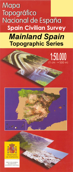
- Santiago de la Espada CNIG Topo 908
- Topographic coverage of mainland Spain at 1:50,000 in the MTN50 (Mapa Topográfico Nacional) series from the Centro Nacional de Información Geografica, the country’s civilian survey organization. The maps have contours at 20m intervals, enhanced by relief shading, plus colouring and/or graphics to show different types of terrain, vegetation or... Read more
Netherlands
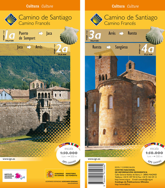
- Wandelkaart 1a-4a Camino Santiago de Compostella Puerte Somport - Sangüesa | CNIG - Instituto Geográfico Nacional
- Camino de Santiago: Stages 1a/2a/3a/4a, Col de Somport/Sangüesa, in a series of double-sided topographic maps at 1:50,000 from the Spanish civilian survey organization, overprinted with the route and sights, plus information of accommodation and other facilities, route profiles, etc.Each 1:50,000 map is double-sided and has four 57 x 35cm... Read more
- Also available from:
- Stanfords, United Kingdom

United Kingdom
- Camino de Santiago: Stages 1a/2a/3a/4a, Col de Somport/Sangüesa 50K CNIG Map
- Camino de Santiago: Stages 1a/2a/3a/4a, Col de Somport/Sangüesa, in a series of double-sided topographic maps at 1:50,000 from the Spanish civilian survey organization, overprinted with the route and sights, plus information of accommodation and other facilities, route profiles, etc.Each 1:50,000 map is double-sided and has four 57 x 35cm... Read more

United Kingdom
- Cajón del Maipo - Volcán San José
- Cajón del Maipo - Volcán San José region of central Chile east of Santiago on a waterproof and tear-resistant map in a series of contoured, GPS compatible trekking and exploration maps at various scales form Trekkingchile. On one side the main map at 1:100,000 covers the region eastwards along the River Maipo from Las Vertientes near its... Read more

United Kingdom
- Santiago Environs
- The Condor Circuit at 1:50,000/1:25,000 in a series of contoured, GPS compatible trekking and exploration maps at various scales form Trekkingchile. The main map at 1:50,000 covers the trekking area from Vilches Alto and Parque Inglés eastwards beyond Volcán Descabezado Grande. Contours are at 50m intervals. The map shows local roads, paths and... Read more