Eifel
Beschreibung
Low mountain range in Germany, states of Rheinland-Pfalz and Nordrhein-Westfalen. Small parts extending into Luxembourg and Belgium.
Wanderwege Region
- Ahr-Venn-WegGPX
- AhrtalwegGPX
- E3GPX
- EifelsteigGPX
- Erft-Lieser-Mosel-Weg GPX
- GR15 - AE - Ardennes-EifelGPX
- GR5GPX
- GR56 - Hautes Fagnes - EifelGPX
- Josef-Schramm-Weg GPX
- Karl-Kaufmann-WegGPX
- KarolingerwegGPX
- KrönungswegGPX
- LieserpfadGPX
- MatthiaswegGPX
- MoselhöhenwegGPX
- MoselsteigGPX
- Rhein-Kyll-WegGPX
- Rhein-Rureifel-Weg GPX
- RheinhöhenwegGPX
- Rhine-Meuse Trail
- Rotwein WanderwegGPX
- VulkanwegGPX
- Wanderweg der Deutschen EinheitGPX
- Wildnis TrailGPX
- WillibrorduswegGPX
Links
Fakten
Berichte
Führer und Karten
Übernachtung
Organisationen
Reisebüros
GPS
Sonstiges
Bücher

- Also available from:
- De Zwerver, Netherlands

De Zwerver
Netherlands
2021
Netherlands
2021

The Book Depository
United Kingdom
2022
United Kingdom
2022
- Also available from:
- De Zwerver, Netherlands


The Book Depository
United Kingdom
2018
United Kingdom
2018
- The GR5 Trail - Benelux and Lorraine
- The North Sea to Schirmeck in the Vosges mountains Read more
- Also available from:
- De Zwerver, Netherlands

De Zwerver
Netherlands
2018
Netherlands
2018
- Wandelgids The GR5 Trail Benelux and Lorraine | Cicerone
- Guidebook to walking the northern section of the GR5 - 1000km starting in Hoek van Holland and passing through the Netherlands, Belgium, Luxembourg and Lorraine to Schirmeck in France. A long-distance route covering a variety of cultures and landscapes. The full GR5 from the North Sea to the Mediterranean is one of the world's greatest trails. Read more


De Zwerver
Netherlands
2021
Netherlands
2021

De Zwerver
Netherlands
2013
Netherlands
2013
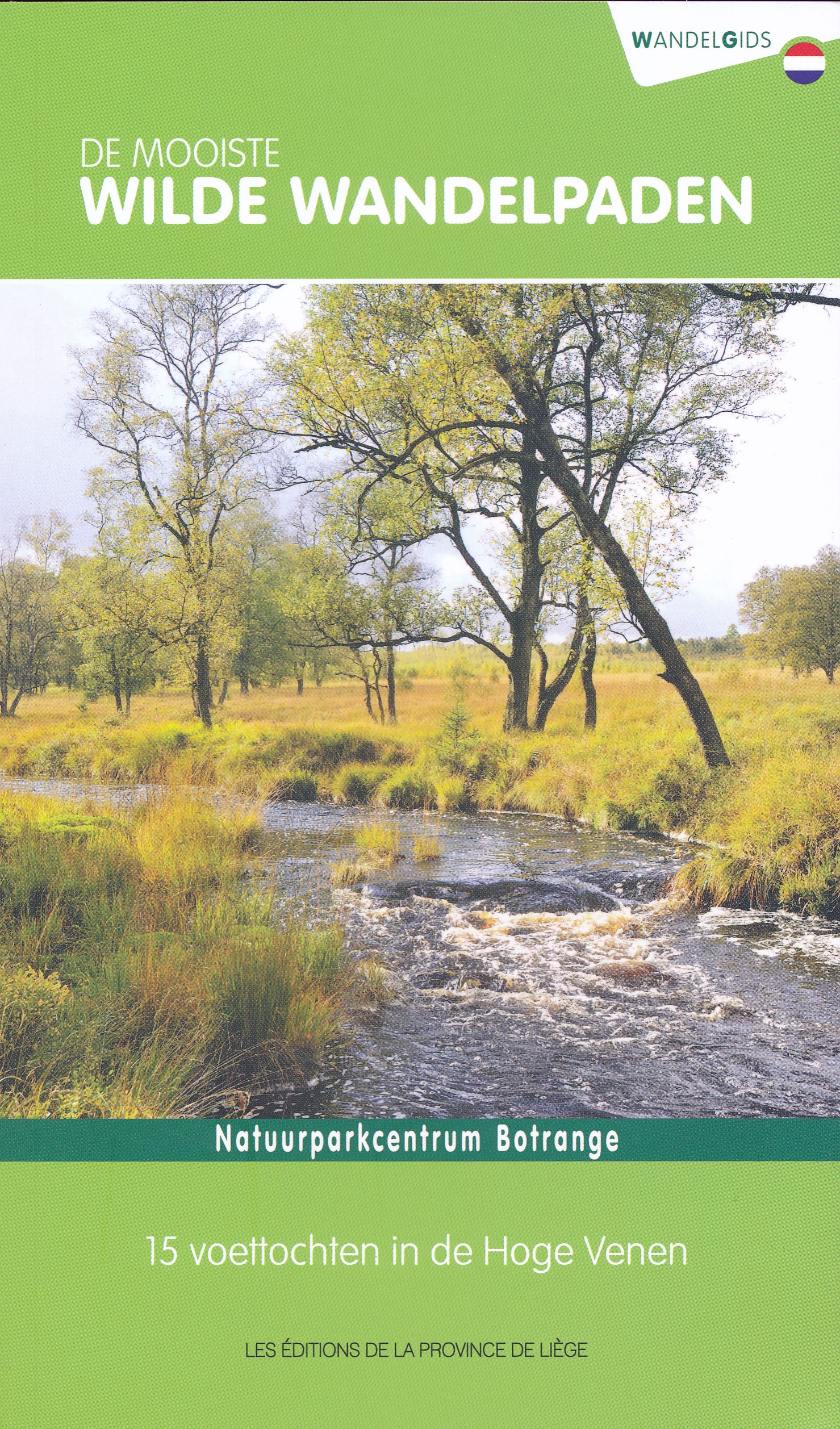
- Wandelgids Eifel | Uitgeverij Elmar
- Roodachtige zandsteen, speelse vakwerkhuizen, talloze burchten en kastelen, zo stelt de Eifel tussen Rijn, Moezel en de Hoge Venen zich aan de wandelaar voor. Overal ziet hij een land voor zich vol romantiek: de uit vulkanen ontstane donkere kratermeren, de lieflijke dalen van Ahr, Brohl, Kyll en Erft, de uitgestrekte hoogveengebieden van de... Read more
De Zwerver
Netherlands
2022
Netherlands
2022
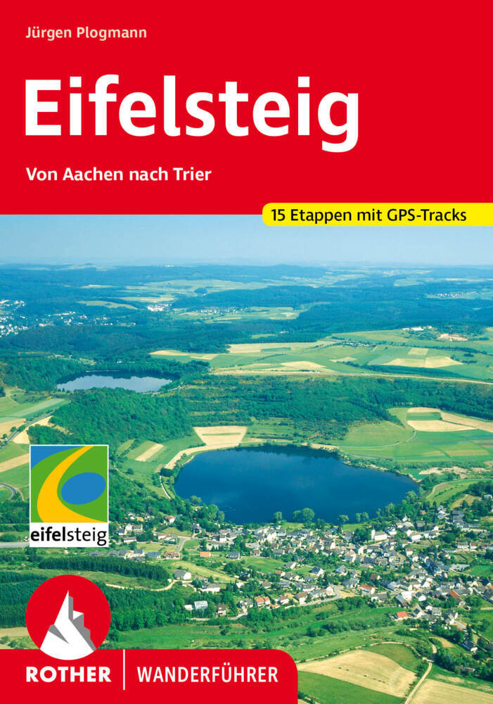
- Wandelgids Eifelsteig | Rother Bergverlag
- Goede gids met duidelijke kaarten en mooie foto's beschrijft de prachtige wandeltocht van Aachen, vlakbij het drielandenpunt, naar Trier in 15 etappes. De route voert langs prachtige rotsgebieden zoals de Gerolsteiner Dolomieten met watervallen. De Rother wandelgidsen beschrijven zeer goed de wandelingen in specifieke gebieden. In de gids... Read more

De Zwerver
Netherlands
2021
Netherlands
2021

De Zwerver
Netherlands
2019
Netherlands
2019
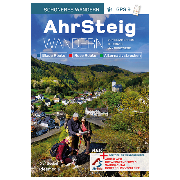
- Wandelgids Ahrsteig - von Blankenheim bis Sinzig | IdeeMedia
- Von Blankenheim bis Sinzig. Blaue Route. Verbindungswege. Rote Route. Rotweinwanderweg. Sahrbachtal. Dörflerblick-Schleife Read more
Karten

- Also available from:
- De Zwerver, Netherlands


- Also available from:
- De Zwerver, Netherlands
- Stanfords, United Kingdom
De Zwerver
Netherlands
2021
Netherlands
2021

Stanfords
United Kingdom
2021
United Kingdom
2021
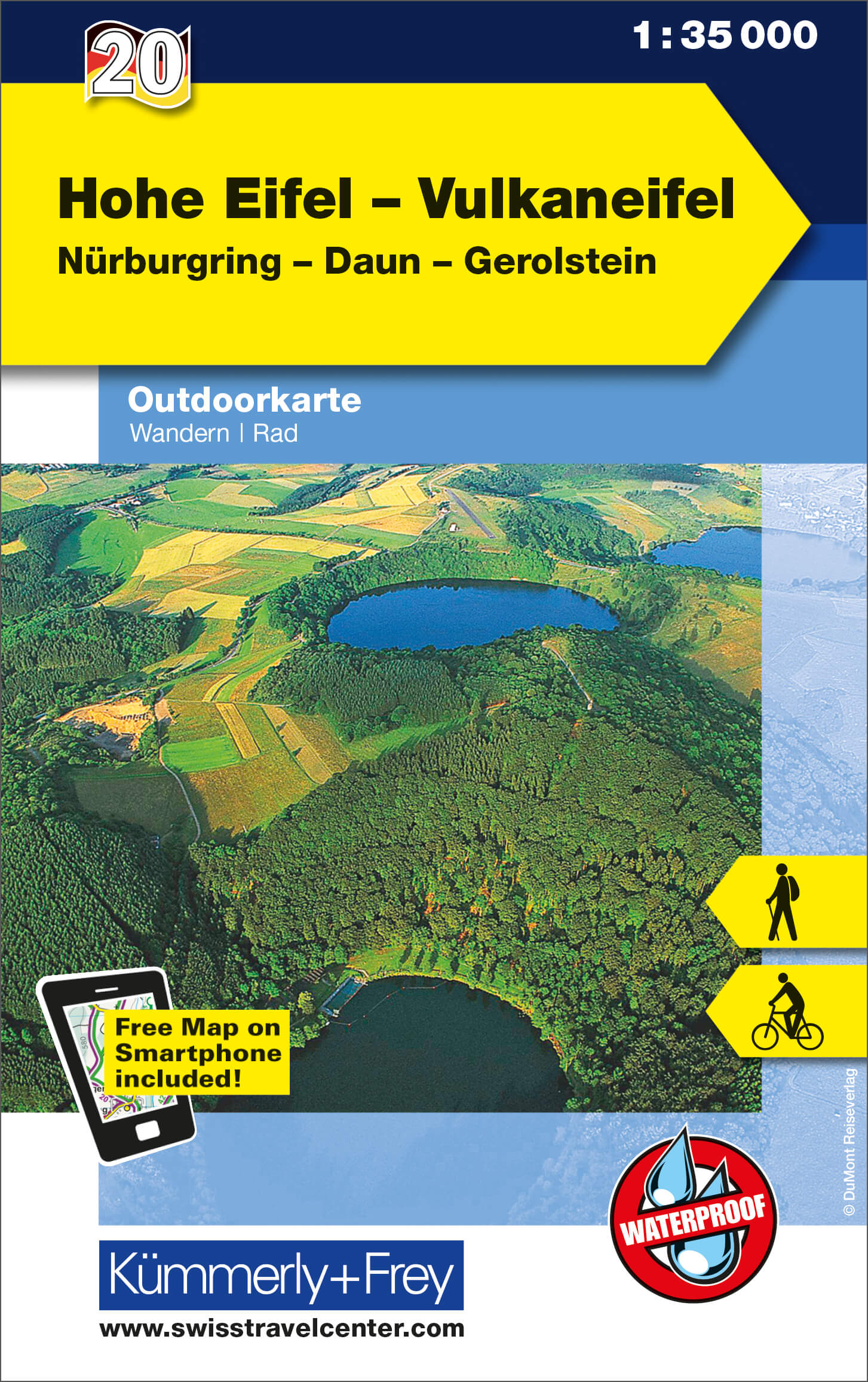
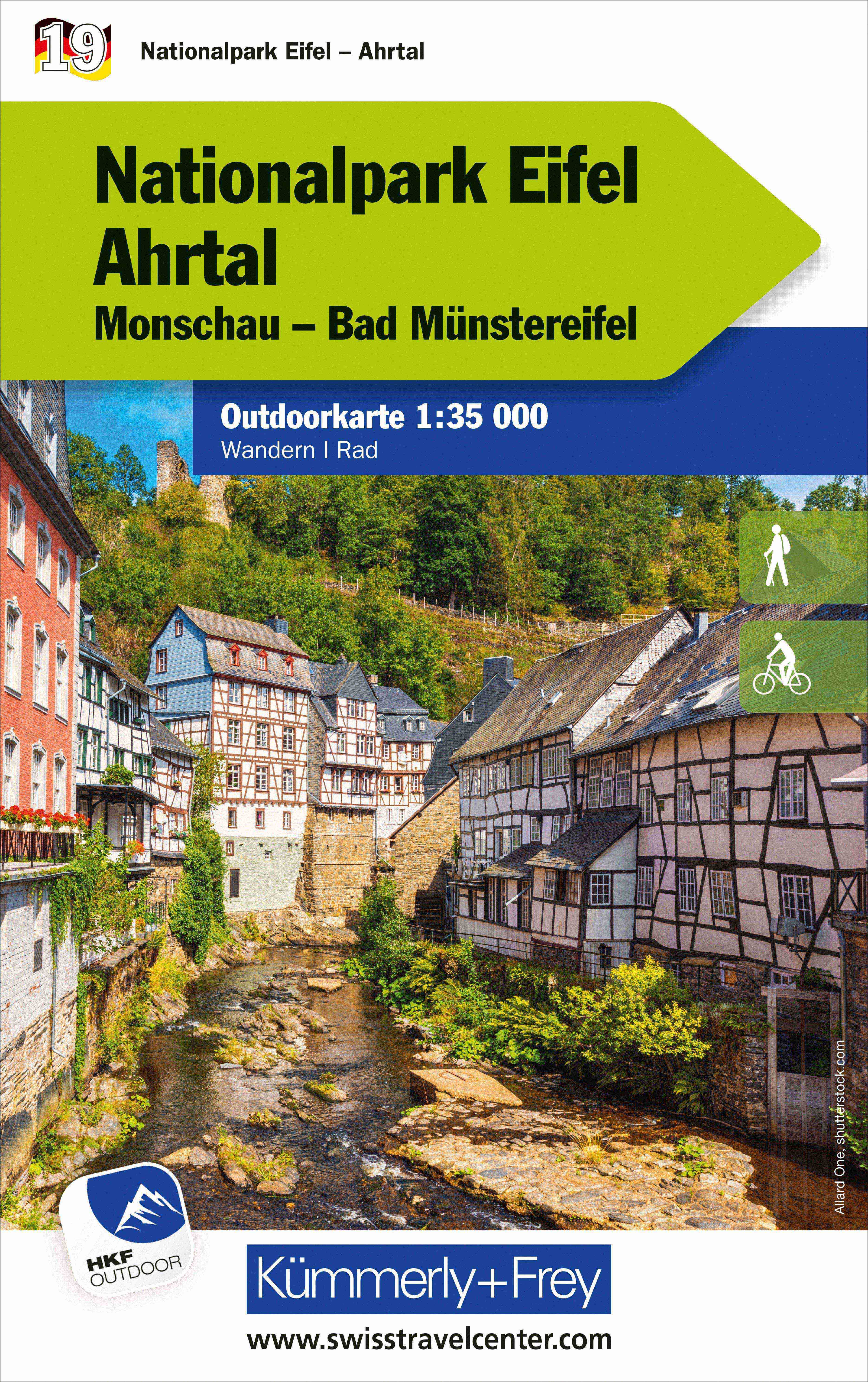
- High Eifel - Vulkaneifel - Nürburgring - Daun - Gerolstein K+F Outdoor Map 20
- High Eifel - Vulkaneifel region of the Rhineland at 1:35,000 from Kümmerly+Frey in a series GPS compatible, double-sided maps printed on durable, waterproof and tear-resistant plastic paper; contoured, with hiking and cycle routes, other recreational activities, etc.Maps in this series are at a scale of either 1:50,000 or 1:35,000. Contour... Read more

- Also available from:
- De Zwerver, Netherlands

De Zwerver
Netherlands
Netherlands
- Wandelkaart Strandzha - Bulgarije | Domino
- Strandzha Mountains in the south-eastern corner of Bulgaria between Burgas to the Turkish border on a contoured and GPS compatible map from Domino showing local hiking trails and highlighting various interesting sites, with three more detailed enlargements at 1:25,000. Most place names are in both Latin and Cyrillic alphabet; map legend... Read more
- Also available from:
- Stanfords, United Kingdom

Stanfords
United Kingdom
United Kingdom
- Strandzha Mountains: Burgas to the Turkish Border Domino Map
- Strandzha Mountains in the south-eastern corner of Bulgaria between Burgas to the Turkish border on a contoured and GPS compatible map from Domino showing local hiking trails and highlighting various interesting sites, with three more detailed enlargements at 1:25,000. Most place names are in both Latin and Cyrillic alphabet; map legend... Read more
De Zwerver
Netherlands
2021
Netherlands
2021
De Zwerver
Netherlands
Netherlands
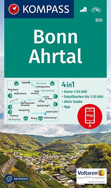
- Wandelkaart 820 Bonn - Ahrtal | Kompass
- Bonn – Ahrtal area of northern Eifel between Bonn and Mayen on a detailed, GPS compatible map at 1:50,000 from Kompass with local and long-distance footpaths, cycling routes, accommodation, etc, printed on durable, waterproof and tear-resistant synthetic paper.KOMPASS HIKING & RECREATIONAL MAPS: this title is part of an extensive series... Read more
- Also available from:
- Stanfords, United Kingdom

Stanfords
United Kingdom
United Kingdom
- Bonn - Ahrtal Kompass 820
- Bonn – Ahrtal area of northern Eifel between Bonn and Mayen on a detailed, GPS compatible map at 1:50,000 from Kompass with local and long-distance footpaths, cycling routes, accommodation, etc, printed on durable, waterproof and tear-resistant synthetic paper.KOMPASS HIKING & RECREATIONAL MAPS: this title is part of an extensive series... Read more
De Zwerver
Netherlands
Netherlands
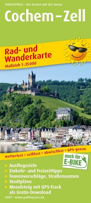
- Wandelkaart 0097 Cochem - Zell | Publicpress
- Cochem - Zell ab 8 EURO Rad- und Wanderkarte mit Ausflugszielen, Einkehr- & Freizeittipps und Stadtplänen, wetterfest, reissfest, abwischbar, GPS-genau. 1:25000 Rad- und Wanderkarte. 8. Auflage Read more
De Zwerver
Netherlands
Netherlands
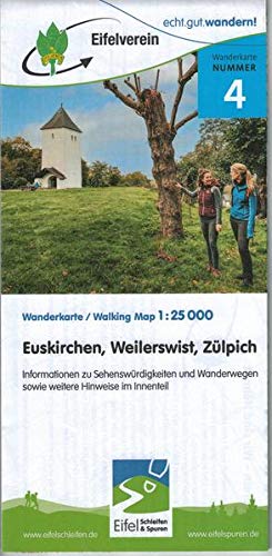
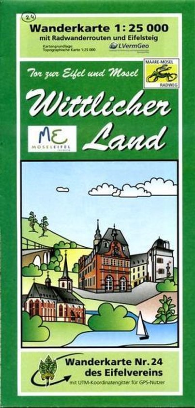
- Wandelkaart 24 Wittlicher Land - Eifel | Eifelverein
- Wandelkaart van een deelgebied van de Eifel. Deze kaarten worden uitgegeven door de zeer actieve Eifelverein. Deze vereniging houdt zich onder andere bezig met de wandelroutes in het gebied: op bijna elke boom in de Eifel vind je wel een teken! De kaarten zijn nauwkeurig en gedetaileerd, met ingetekende wandelroutes maar ook symbolen voor... Read more
Weitere …