Cornwall
Beschreibung
Southwestern tip of England. Said to have a mild and sunny climate. The rugged coastline can be explored entirely on the South West Coast Path.
Wanderwege Region
Links
Fakten
Berichte
Führer und Karten
Übernachtung
Organisationen
Reisebüros
GPS
Sonstiges
Bücher

- Also available from:
- Stanfords, United Kingdom

Stanfords
United Kingdom
2019
United Kingdom
2019
- Cornwall: AA 50 Walks
- Walking is one of Britain`s favourite leisure activities, and AA 50 Walks in Cornwall features a variety of mapped walks of two to ten miles, to suit all abilities. The book features all the practical detail you need, accompanied by fascinating background reading on the history and wildlife of Cornwall, and clear full colour mapping for ease of... Read more

The Book Depository
United Kingdom
United Kingdom
- South Cornwall Coast
- Land's End to Plymouth - Circular Walks along the South West Coast Path Read more
- Also available from:
- Stanfords, United Kingdom

Stanfords
United Kingdom
United Kingdom
- South Cornwall Coast: Land`s End to Plymouth - Circular Walks along the South West Coast Path
- With clear information, an overview and introduction for each walk, expertly written numbered directions, large scale Ordnance Survey maps, superb eye-grabbing panoramic photographs, and interpretation of points of interest along the way, these guides set a new standard in clarity and ease-of-use.Featured walks along the South Cornwall Coast... Read more

- Also available from:
- De Zwerver, Netherlands
- Stanfords, United Kingdom
De Zwerver
Netherlands
2021
Netherlands
2021

Stanfords
United Kingdom
2021
United Kingdom
2021
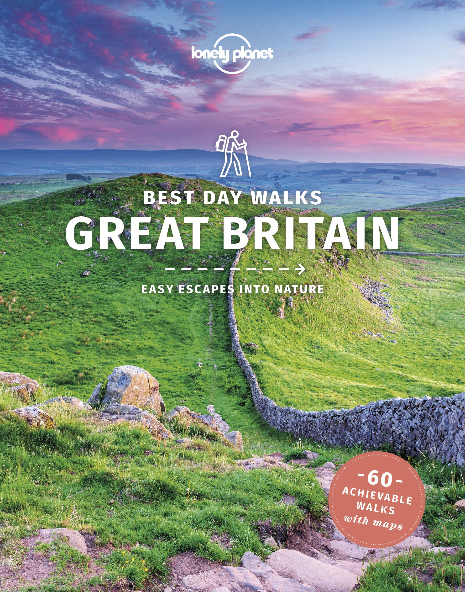
- Lonely Planet Best Day Walks Great Britain
- Lonely Planet`s Best Day Walks Great Britain is your passport to 60 easy escapes into nature. Stretch your legs outside the city by picking a hike that works for you, from a few hours to a full day, from easy to hard. Cross misty moors, hike wild landscapes, and explore the highlands. Get to the heart of Great Britain and begin your journey... Read more

- Also available from:
- De Zwerver, Netherlands
- Stanfords, United Kingdom
De Zwerver
Netherlands
Netherlands

Stanfords
United Kingdom
United Kingdom
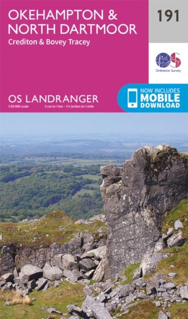
- Okehampton, North Dartmoor, Crediton & Bovey Tracey OS Landranger Map 191 (paper)
- Okehampton and the northern part of the Dartmoor National Park on a paper version of map No. 191 from the Ordnance Survey’s Landranger series at 1:50,000, with contoured and GPS compatible topographic mapping plus tourist information.MOBILE DOWNLOADS: As well as the physical edition of the map, each Landranger title now includes a code for... Read more

- Also available from:
- Stanfords, United Kingdom

Stanfords
United Kingdom
United Kingdom
- Bude, Clovelly, Boscastle & Holsworthy OS Landranger Active Map 190 (waterproof)
- Bude and Clovelly area, including a section of the South West Coast Path, on a waterproof and tear-resistant OS Active version of map No. 190 from the Ordnance Survey’s Landranger series at 1:50,000, with contoured and GPS compatible topographic mapping plus tourist information.MOBILE DOWNLOADS: As well as the physical edition of the map, each... Read more

- Also available from:
- De Zwerver, Netherlands
- Stanfords, United Kingdom
De Zwerver
Netherlands
2015
Netherlands
2015

Stanfords
United Kingdom
2015
United Kingdom
2015
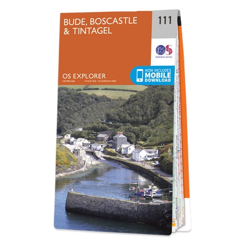
- Bude, Boscastle & Tintagel OS Explorer Map 111 (paper)
- Bude, Boscastle and Tintagel area on a detailed topographic and GPS compatible map No. 111, paper version, from the Ordnance Survey’s 1:25,000 Explorer series.MOBILE DOWNLOADS: this title and all the other OS Explorer maps include a code for downloading after purchase the digital version onto your smartphone or tablet for viewing on the OS... Read more

The Book Depository
United Kingdom
United Kingdom
- West Cornwall: Land's End Guidebook
- Penzance, Lamorna, Porthcurno, Zennor, St Ives Read more

- Also available from:
- De Zwerver, Netherlands
- Stanfords, United Kingdom
De Zwerver
Netherlands
2015
Netherlands
2015

Stanfords
United Kingdom
2015
United Kingdom
2015
- Clovelly & Hartland - Bideford & Bradworthy OS Explorer Map 126 (paper)
- Clovelly, Hartland, Bideford and Bradworthy area on a detailed topographic and GPS compatible map No. 126, paper version, from the Ordnance Survey’s 1:25,000 Explorer series.MOBILE DOWNLOADS: this title and all the other OS Explorer maps include a code for downloading after purchase the digital version onto your smartphone or tablet for viewing... Read more

The Book Depository
United Kingdom
United Kingdom
- St Agnes
- St Agnes, Gugh and Western Rocks on a very detailed walking and cycling map from Friendly Guides at 1:10,000 printed on thick, waterproof paper. A handy superscale map ideal for anyone on a day-trip to explore this area of the Scilly archipelago.The map is part of a series covering Cornwall and the Isles of Scilly; each map comes in a handy... Read more
- Also available from:
- Stanfords, United Kingdom

Stanfords
United Kingdom
United Kingdom
- St Agnes - Western Rocks
- St Agnes, Gugh and Western Rocks on a very detailed walking and cycling map from Friendly Guides at 1:10,000 printed on thick, waterproof paper. A handy superscale map ideal for anyone on a day-trip to explore this area of the Scilly archipelago.The map is part of a series covering Cornwall and the Isles of Scilly; each map comes in a handy... Read more

- Also available from:
- De Zwerver, Netherlands
- Stanfords, United Kingdom
De Zwerver
Netherlands
2017
Netherlands
2017

Stanfords
United Kingdom
2017
United Kingdom
2017
- Weston-super-Mare & Bleadon Hill - Burnham-on-Sea & Clevedon OS Explorer Map 153 (paper)
- Weston-super-Mare, Bleadon Hill, Burnham-on-Sea and Clevedon area on a detailed topographic and GPS compatible map No. 153, paper version, from the Ordnance Survey’s 1:25,000 Explorer series. MOBILE DOWNLOADS: this title and all the other OS Explorer maps include a code for downloading after purchase the digital version onto your smartphone or... Read more

- Also available from:
- De Zwerver, Netherlands
- Stanfords, United Kingdom

De Zwerver
Netherlands
Netherlands

Stanfords
United Kingdom
United Kingdom
- Exeter, Sidmouth, Exmouth & Teignmouth OS Landranger Map 192 (paper)
- Exeter and Sidmouth area, including a section of the South West Coast Path / E9 European Long-distance Path, on a paper version of map No. 192 from the Ordnance Survey’s Landranger series at 1:50,000, with contoured and GPS compatible topographic mapping plus tourist information.MOBILE DOWNLOADS: As well as the physical edition of the map, each... Read more

- Also available from:
- De Zwerver, Netherlands
De Zwerver
Netherlands
Netherlands

- Also available from:
- De Zwerver, Netherlands
- Stanfords, United Kingdom
De Zwerver
Netherlands
Netherlands

Stanfords
United Kingdom
United Kingdom
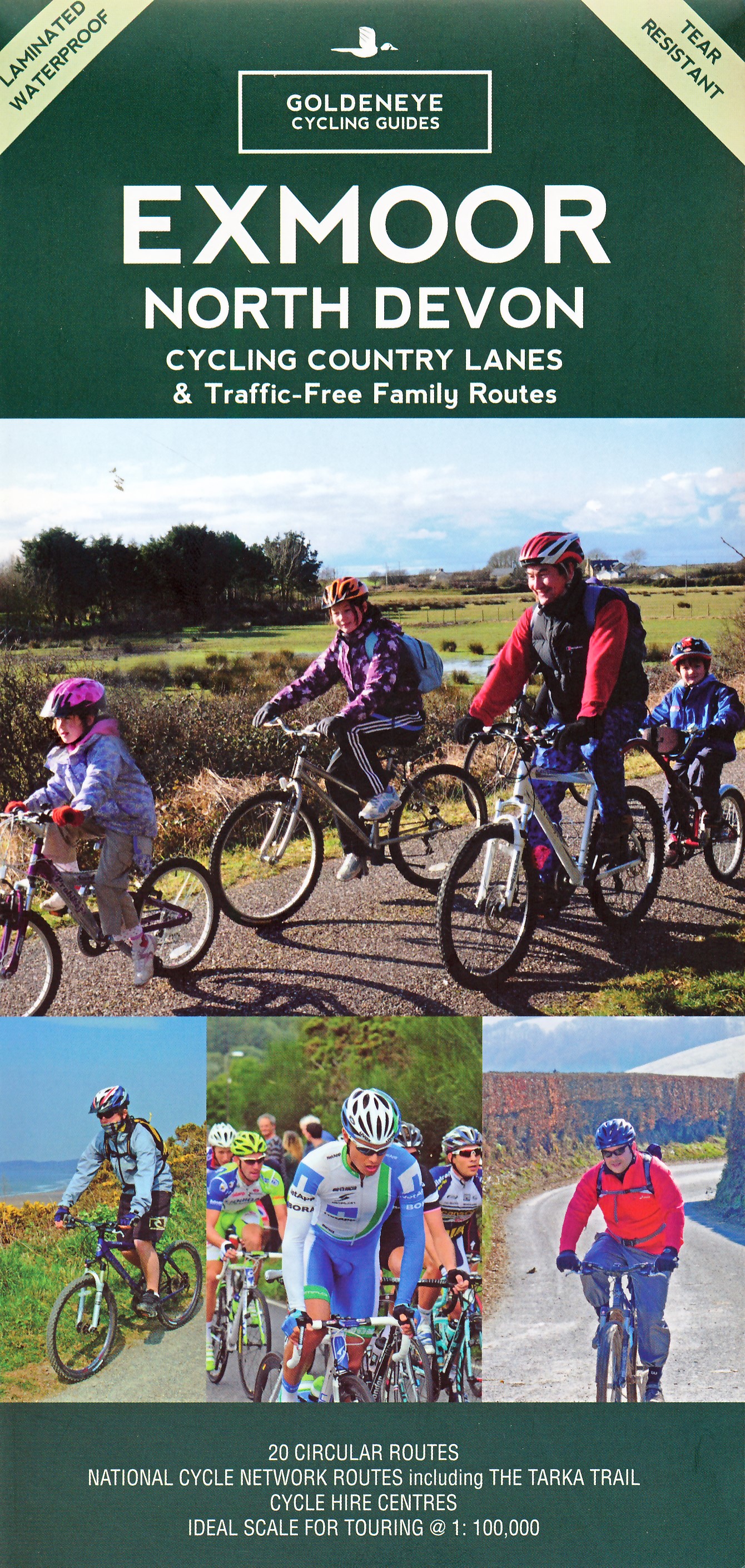
- Minehead, Brendon Hills, Dulverton & Tiverton OS Landranger Map 181 (paper)
- Minehead with the eastern part of the Exmoor National Park including Brendon Hills, on a paper version of map No. 181 from the Ordnance Survey’s Landranger series at 1:50,000, with contoured and GPS compatible topographic mapping plus tourist information.MOBILE DOWNLOADS: As well as the physical edition of the map, each Landranger title now... Read more

- Also available from:
- Stanfords, United Kingdom

Stanfords
United Kingdom
United Kingdom
- Exeter, Sidmouth, Exmouth & Teignmouth OS Landranger Active Map 192 (waterproof)
- Exeter and Sidmouth area, including a section of the South West Coast Path / E9 European Long-distance Path, on a waterproof and tear-resistant OS Active version of map No. 192 from the Ordnance Survey’s Landranger series at 1:50,000, with contoured and GPS compatible topographic mapping plus tourist information.MOBILE DOWNLOADS: As well as the... Read more
Karten

The Book Depository
United Kingdom
2010
United Kingdom
2010
- Dartmoor
- Double-sided waterproof mountain map of Dartmoor from Harvey at 1:40,000, with a geological map of the region on the reverse, and advice on navigating the region safely.MAIN MAP: Topography is shown through clear altitude shading, spot heights, contours at 15m intervals, and index contours at 75m intervals. A variety of symbols are used to show... Read more
- Also available from:
- De Zwerver, Netherlands
- Stanfords, United Kingdom
De Zwerver
Netherlands
2010
Netherlands
2010
- Wandelkaart Dartmoor | Harvey Maps
- Double-sided waterproof mountain map of Dartmoor from Harvey at 1:40,000, with a geological map of the region on the reverse, and advice on navigating the region safely.MAIN MAP: Topography is shown through clear altitude shading, spot heights, contours at 15m intervals, and index contours at 75m intervals. A variety of symbols are used to show... Read more

Stanfords
United Kingdom
2010
United Kingdom
2010
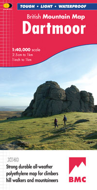
- Dartmoor Harvey British Mountain Map XT40
- Double-sided waterproof mountain map of Dartmoor from Harvey at 1:40,000, with a geological map of the region on the reverse, and advice on navigating the region safely.*MAIN MAP:* Topography is shown through clear altitude shading, spot heights, contours at 15m intervals, and index contours at 75m intervals. A variety of symbols are used to... Read more
De Zwerver
Netherlands
Netherlands
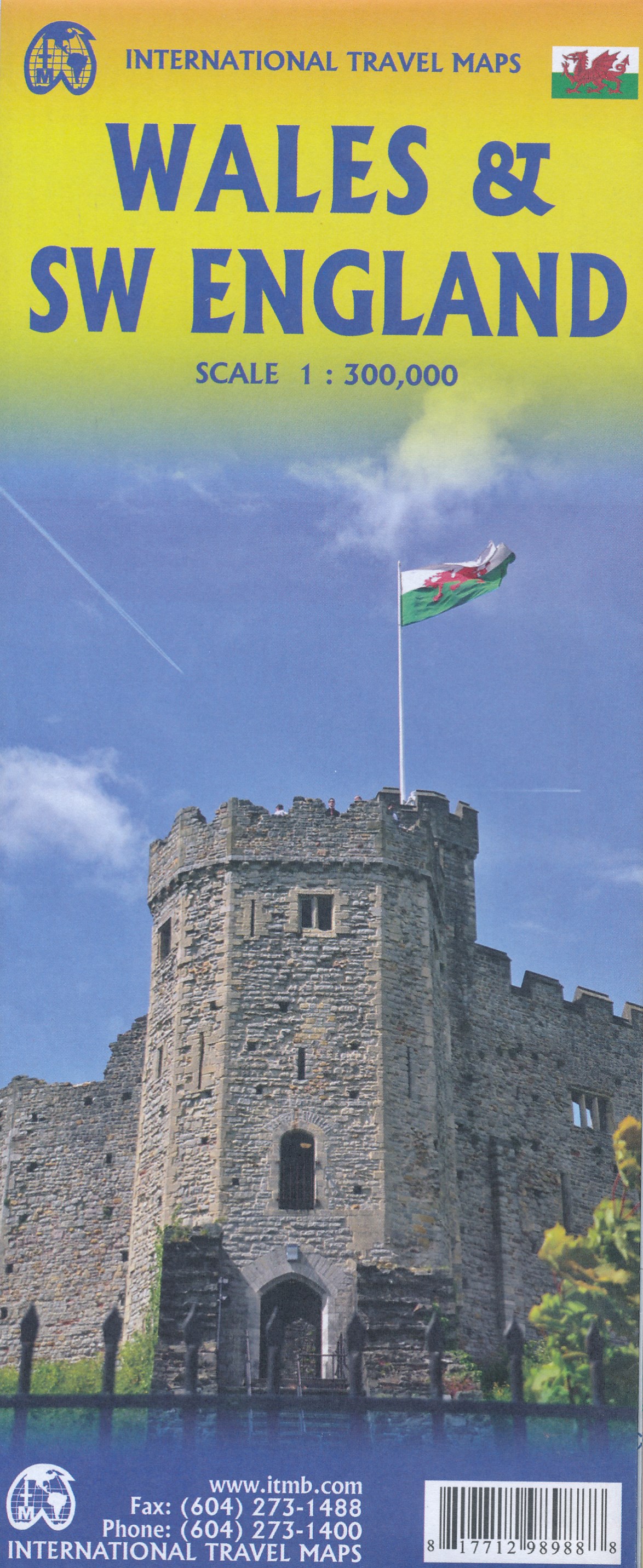
- Wegenkaart - landkaart Wales & southwest England | ITMB
- Wales & SW England 1:300 000 ab 10.49 EURO doppelseitig Wales SW England/West Country - Cornwall, Devon & Somerset International Travel Map ITM. 1. Auflage Read more
De Zwerver
Netherlands
Netherlands
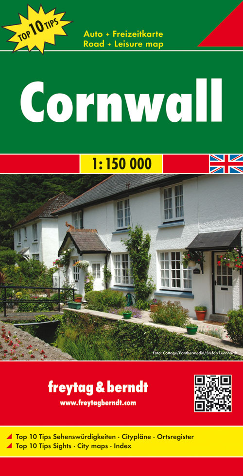
- Wegenkaart - landkaart Cornwall | Freytag & Berndt
- Cornwall 1 : 150 000. Autokarte ab 10.9 EURO Citypläne. Ortsregister mit Postleitzahlen. Touristische Informationen Freytag & Berndt Autokarte. Neuauflage, Laufzeit bis 2019 Read more
De Zwerver
Netherlands
2022
Netherlands
2022
- Also available from:
- Stanfords, United Kingdom

Stanfords
United Kingdom
United Kingdom
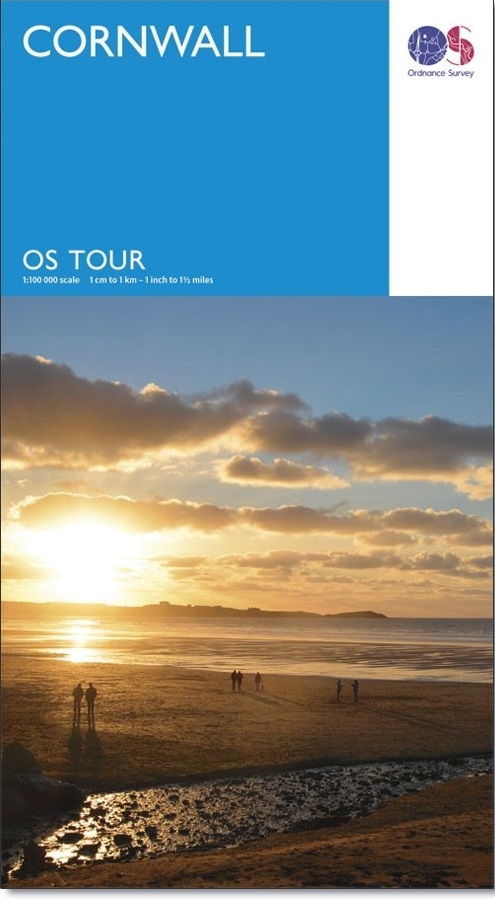
- Cornwall OS Tour Map 1
- OS Tour map 1 covers Cornwall in 1:100 000 scale and is ideal for planning holidays and day trips. This map shows all the key roads, towns, villages places of interest in the area. It also includes detailed street maps of selected towns and an index of place names to help you find your way around this popular holiday destination. Read more
Weitere …