
Colorado
Beschreibung
Colorado has the Rocky Mountains, spectacular high mountain scenery. And the 469 mile Colorado Trail takes you to the core.
The Continental Divide Trail partly follows the same route, but is of course much longer and crosses the state borders with New Mexico and Wyoming.
Also the American Discovery Trail runs through Colorado.
There is a lot more hiking to do in the mountains of Colorado, in for instance the Rocky Mountain National Park, the White River National Forest, the Rio Grande National Forest, and many others, with thousands of miles of hiking trails.
Colorado truly is a hiking state.
Karte

Wanderwege Landesteil
Links
Fakten
Berichte
Führer und Karten
Übernachtung
Organisationen
Reisebüros
GPS
Sonstiges
Bücher


- Also available from:
- Stanfords, United Kingdom

Stanfords
United Kingdom
United Kingdom
- Indian Peaks - Gold Hill CO NGS Trails Illustrated Map 102
- Map No. 102, Indian Peaks - Gold Hill in Colorado, at 1: 40,680 in an extensive series of GPS compatible, contoured hiking maps of USA’s national and state parks or forests and other popular recreational areas. Cartography based on the national topographic survey, with additional tourist information.The maps, with most titles now printed on... Read more

The Book Depository
United Kingdom
United Kingdom
- Hiking Waterfalls Colorado
- A Guide to the State's Best Waterfall Hikes Read more


- Also available from:
- Stanfords, United Kingdom

Stanfords
United Kingdom
United Kingdom
- Vail - Frisco - Dillon CO
- Map No. 108, Vail - Frisco - Dillon area of Colorado, at 1:40,680 in an extensive series of GPS compatible, contoured hiking maps of USA’s national and state parks or forests and other popular recreational areas. Cartography based on the national topographic survey, with additional tourist information.The maps, with most titles now printed on... Read more

The Book Depository
United Kingdom
United Kingdom
- Best Lake Hikes Colorado
- A Guide to the State's Greatest Lake Hikes Read more


The Book Depository
United Kingdom
United Kingdom
- The Grand Canyon: Unseen Beauty
- Running the Colorado River Read more

The Book Depository
United Kingdom
2020
United Kingdom
2020
- Moon Colorado (Tenth Edition)
- Scenic Drives, National Parks, Best Hikes Read more

The Book Depository
United Kingdom
United Kingdom
- Colorado 54
- Climbing Colorado's Fourteeners in the Disco Era Read more

- Also available from:
- Stanfords, United Kingdom

Stanfords
United Kingdom
United Kingdom
- Kremmling - Granby CO
- Map No. 106, Kremmling - Granby area of Colorado, at 1:40,680 in an extensive series of GPS compatible, contoured hiking maps of USA’s national and state parks or forests and other popular recreational areas. Cartography based on the national topographic survey, with additional tourist information.The maps, with most titles now printed on... Read more

The Book Depository
United Kingdom
United Kingdom
- Greater Than a Tourist- Fort Collins Colorado USA
- 50 Travel Tips from a Local Read more
Weitere Bücher…

Karten

- Also available from:
- Stanfords, United Kingdom

Stanfords
United Kingdom
United Kingdom
- Crested Butte - Pearl Pass CO
- Map No. 131, Crested Butte - Pearl Pass in Colorado, at 1:40,680 in an extensive series of GPS compatible, contoured hiking maps of USA’s national and state parks or forests and other popular recreational areas. Cartography based on the national topographic survey, with additional tourist information.The maps, with most titles now printed on... Read more

- Also available from:
- De Zwerver, Netherlands
- Stanfords, United Kingdom

De Zwerver
Netherlands
Netherlands
- Wandelkaart - Topografische kaart 139 Trails Illustrated La Garita, Cochetopa Hills | National Geographic
- Prachtige geplastificeerde kaart van het bekende nationaal park. Met alle recreatieve voorzieningen als campsites, maar ook met topografische details en wandelroutes ed. Door uitgekiend kleurgebruik zeer prettig in gebruik. Scheur en watervast! Beautiful waterproof and tear-resistant topographical hiking map of a well-loved National Park, with... Read more

Stanfords
United Kingdom
United Kingdom
- La Garita - Cochetopa CO
- Map No. 139, La Garita - Cochetopa, CO, in an extensive series of GPS compatible, contoured hiking maps of USA’s national and state parks or forests and other popular recreational areas. Cartography based on the national topographic survey, with additional tourist information.The maps, with most titles now printed on light, waterproof and... Read more

- Also available from:
- Stanfords, United Kingdom

Stanfords
United Kingdom
United Kingdom
- Idaho Springs - Loveland Pass CO
- Map No. 104, Idaho Springs - Loveland Pass in Colorado at 1:40,680 in an extensive series of GPS compatible, contoured hiking maps of USA’s national and state parks or forests and other popular recreational areas. Cartography is based on the national topographic survey, with additional tourist information.The maps, with most titles now printed... Read more

- Also available from:
- Stanfords, United Kingdom

Stanfords
United Kingdom
United Kingdom
- Winter Park - Central City - Rollins Pass CO NGS Trails Illustrated Map 103
- Map No. 103, Winter Park - Central City - Rollins Pass in Colorado, at 1:40,680 in an extensive series of GPS compatible, contoured hiking maps of USA’s national and state parks or forests and other popular recreational areas. Cartography is based on the national topographic survey, with additional tourist information.The maps, with most titles... Read more

- Also available from:
- De Zwerver, Netherlands
- Stanfords, United Kingdom
De Zwerver
Netherlands
Netherlands
- Wandelkaart - Topografische kaart 147 Uncompahgre Plateau North | National Geographic
- Prachtige geplastificeerde kaart van het bekende nationaal park. Met alle recreatieve voorzieningen als campsites, maar ook met topografische details en wandelroutes ed. Door uitgekiend kleurgebruik zeer prettig in gebruik. Scheur en watervast! National Geographic's Trails Illustrated map of Uncompahgre Plateau North is a two-sided,... Read more

Stanfords
United Kingdom
United Kingdom
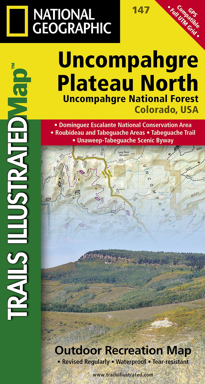
- Uncompahgre Plateau North CO
- Map No. 147, covering the northern part of the Uncompahgre Plateau in Colorado at 1:63,360 in an extensive series of GPS compatible, contoured hiking maps of USA’s national and state parks or forests and other popular recreational areas. Cartography based on the national topographic survey, with additional tourist information.The maps, with... Read more

- Also available from:
- Stanfords, United Kingdom

Stanfords
United Kingdom
United Kingdom
- Deckers - Rampart Range CO
- Map No. 135, Deckers - Rampart Range in Colorado, at 1:50,000/1:25,000 in an extensive series of GPS compatible, contoured hiking maps of USA’s national and state parks or forests and other popular recreational areas. Cartography based on the national topographic survey, with additional tourist information.The maps, with most titles now printed... Read more

- Also available from:
- Stanfords, United Kingdom

Stanfords
United Kingdom
United Kingdom
- Holy Cross - Reudi Reservoir CO
- Map No. 126, Holy Cross - Reudi Reservoir in Colorado, at 1:40,680 in an extensive series of GPS compatible, contoured hiking maps of USA’s national and state parks or forests and other popular recreational areas. Cartography based on the national topographic survey, with additional tourist information.The maps, with most titles now printed on... Read more
De Zwerver
Netherlands
2024
Netherlands
2024
De Zwerver
Netherlands
2023
Netherlands
2023
De Zwerver
Netherlands
2024
Netherlands
2024
De Zwerver
Netherlands
2024
Netherlands
2024
De Zwerver
Netherlands
2024
Netherlands
2024
De Zwerver
Netherlands
Netherlands
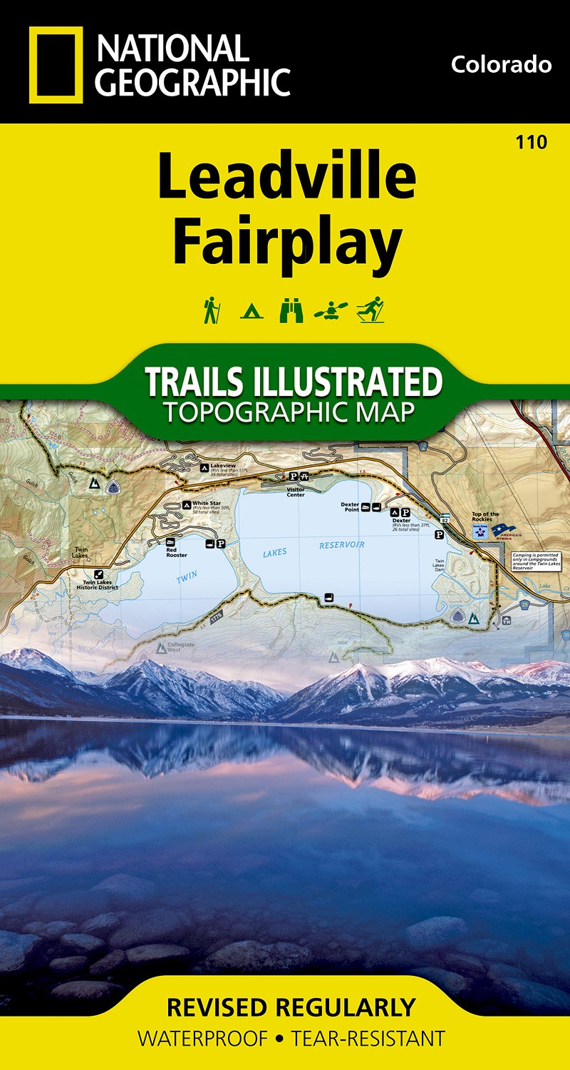
- Wandelkaart - Topografische kaart 110 Trails Illustrated Leadville Fairplay | National Geographic
- Prachtige geplastificeerde kaart van het bekende nationaal park. Met alle recreatieve voorzieningen als campsites, maar ook met topografische details en wandelroutes ed. Door uitgekiend kleurgebruik zeer prettig in gebruik. Scheur en watervast! Beautiful waterproof and tear-resistant topographical hiking map of a well-loved National Park, with... Read more
- Also available from:
- Stanfords, United Kingdom

Stanfords
United Kingdom
United Kingdom
- Leadville - Fairplay CO
- Map No. 110, Leadville - Fairplay area in Colorado in an extensive series of GPS compatible, contoured hiking maps of USA’s national and state parks or forests and other popular recreational areas. Cartography based on the national topographic survey, with additional tourist information.The maps, with most titles now printed on light,... Read more

De Zwerver
Netherlands
2024
Netherlands
2024