
Südafrika
Beschreibung

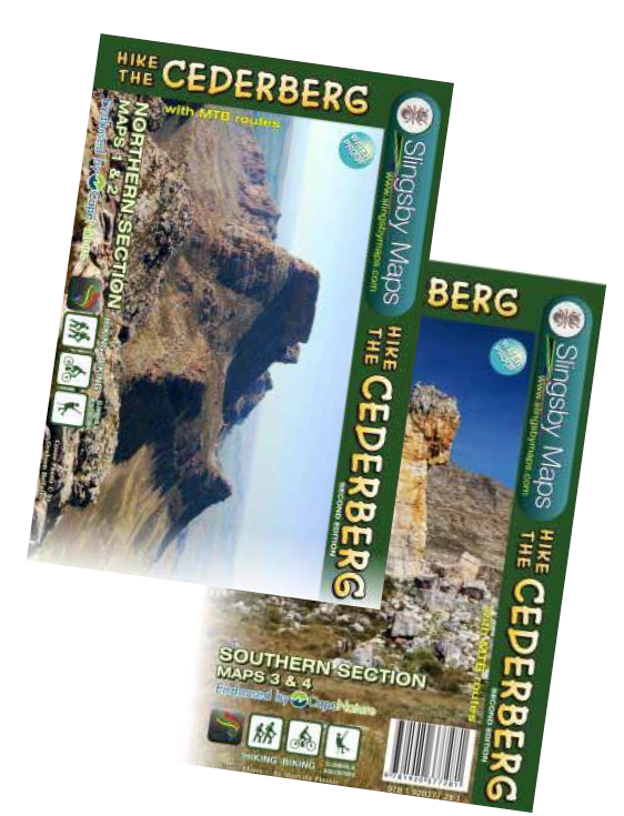
Located on the southern tip of the African continent, South Africa offers an enormous variety of landscapes and is a popular hiking destination. Famous are the alpine Drakensberg mountain range, the Blyde River Canyon, the Eastern Cape Wild Coast, Cedarberg, and the Otter Trail along the southern Tsitsikamma Coast. And there is so much more!
South Africa counts a full 21 National Parks, many of which have hiking or backpacking trails. Take a look at the excellent website of South African National Parks (or SANParks), which also offers online bookings.
Hiking being popular, there are a multitude of other hiking clubs and tour operators offering their services, ranging from booking lodging to providing guides and even transporting your luggage from one hut to the next (euphemistically called 'slackpacking').
Surrounded by both the Atlantic and Indian Ocean, South Africa's climate is largely temperate, though there are some inland extremes in terms of high and low temperatures. Best time for hiking in South Africa is generally during the dry and cool season, between March and November.
Wanderwege
Regionen
Links
Fakten
Berichte
Führer und Karten
Übernachtung
Organisationen
Reisebüros
GPS
Sonstiges
Bücher

United Kingdom
2021
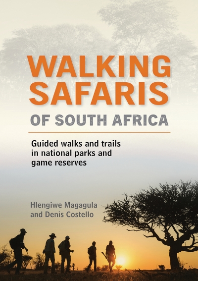
- Walking Safaris in South Africa
- Guided Walks and Trails in National Parks and Game Reserves Read more
- Also available from:
- De Zwerver, Netherlands
Netherlands
2021
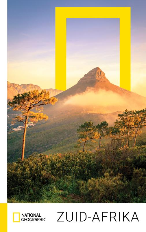
- Reisgids - Natuurgids Walking Safaris in South Africa - Zuid Afrika | Struik Nature
- Guided Walks and Trails in National Parks and Game Reserves Read more

- Also available from:
- De Zwerver, Netherlands


Netherlands
2020

Netherlands
2017
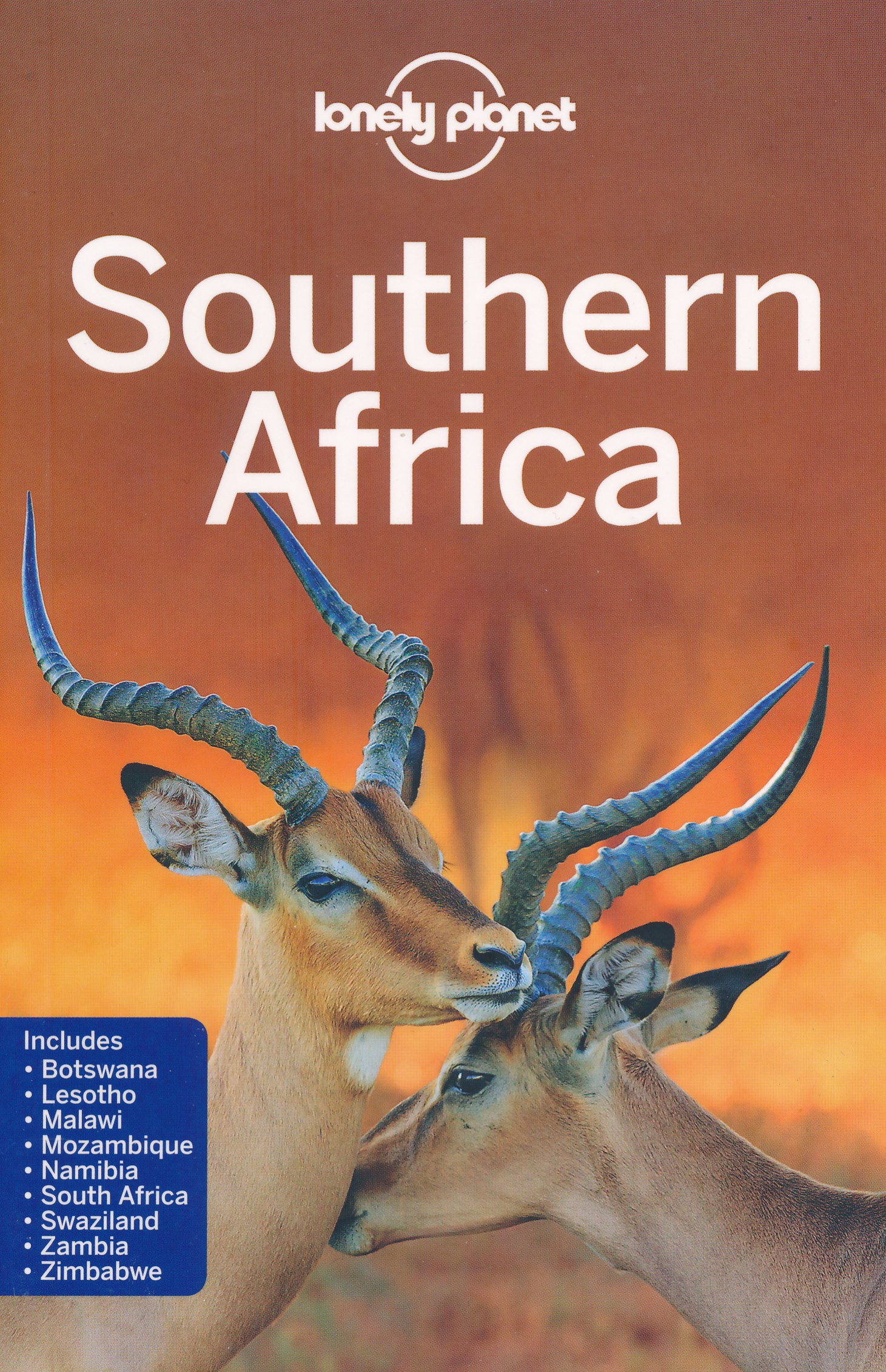
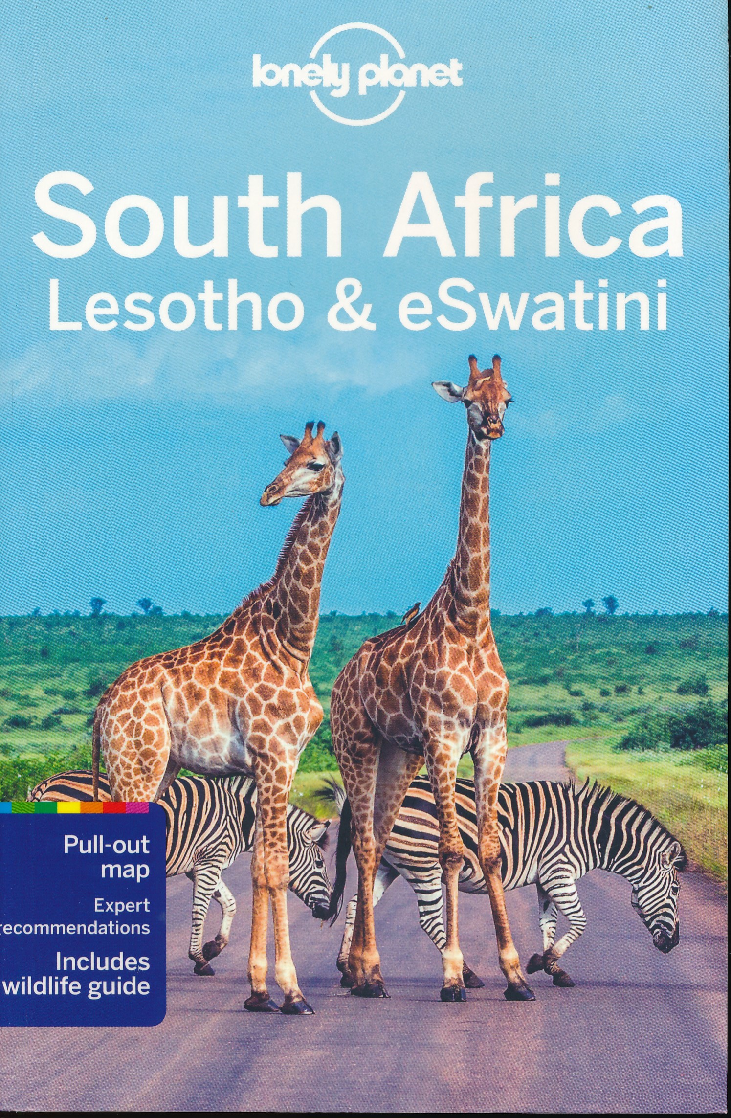
- Reisgids Southern Africa - zuidelijk Afrika - Botswana, Lesotho, Malawi, Mozambique, Namibië, Zambia, South Africa, Zimbabwe | Lonely Planet
- De perfecte reisgids voor zowel de georganiseerde als de zelfstandige reiziger. Naast een algemene inleiding van het land / streek vol met praktische informatie over hoe je er het beste kunt reizen: slapen, eten, vervoer, excursies ... alles kun je er in vinden. Engelstalig. An astonishingly diverse region fused by its prolific wildlife,... Read more
Netherlands
2019
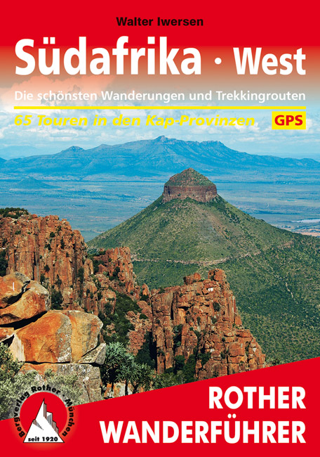
- Wandelgids Südafrika West | Rother Bergverlag
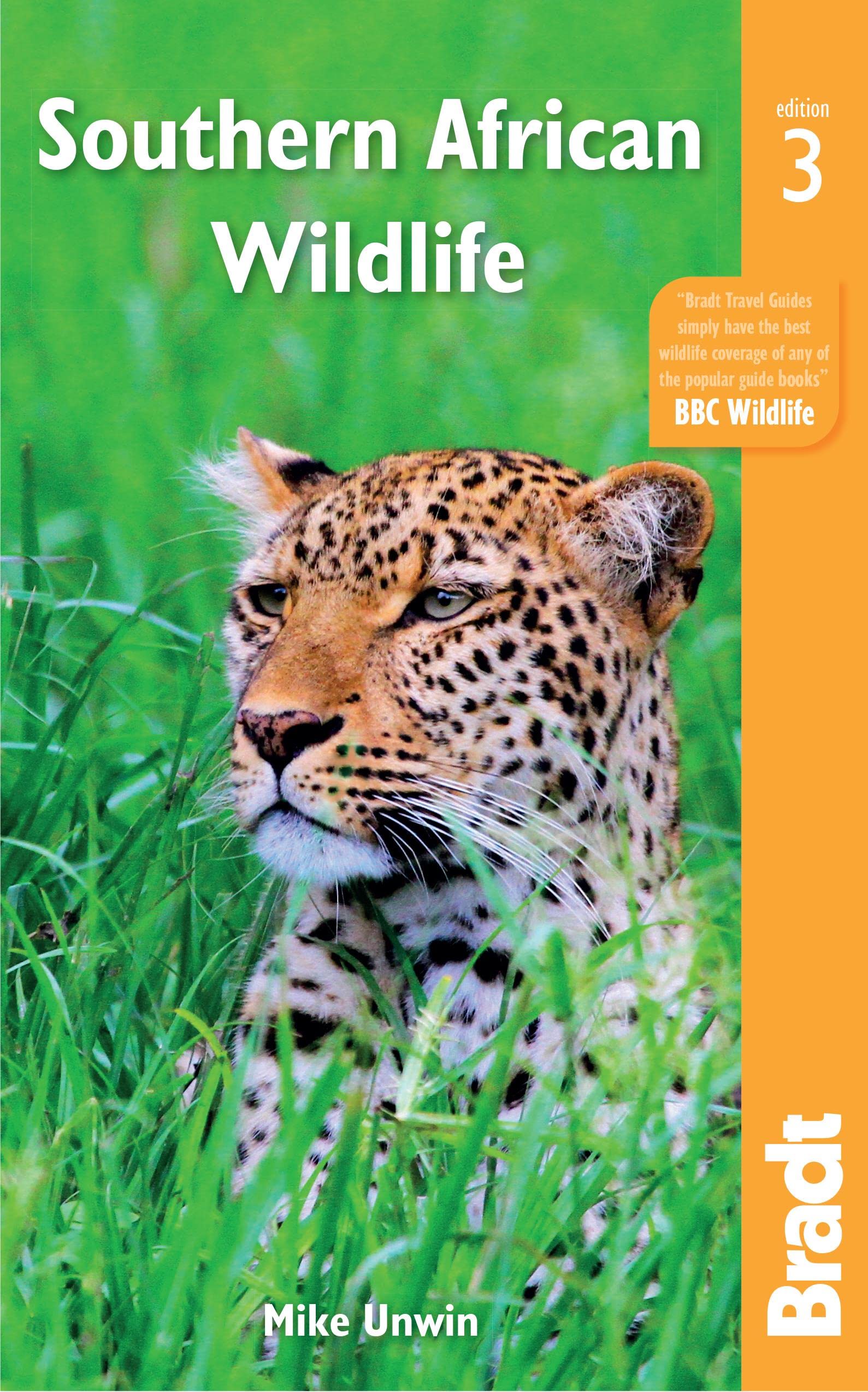
- Duitstalige wandelgids met zeer goed beschreven wandelingen in de genoemde gebieden. Redelijk kaartmateriaal, vooral de beschrijving van de route en de praktische info die er bij hoort is meer dan goed. Südafrika ist für Naturliebhaber ein Reiseziel der Superlative. Kaum ein Land der Welt verfügt über solch einen Artenreichtum in der Tier- und... Read more
Netherlands
2022

Netherlands
2000
Karten


Netherlands
2019
- Wandelkaart South Africa: Table Mountain | Slingsby Maps
- Table Mountain at 1:20,000 on an A2-size, waterproof and tear-resistant map from Slingsby Maps, with details of 23 hiking routes. Contour lines are drawn at 10m intervals, with several different types of vegetation and terrain indicated on the map, e.g. renosterveld/grassland, different kinds of fynbos, marshes, plantations, gum belts, etc.... Read more
- Also available from:
- Stanfords, United Kingdom

United Kingdom
2019
- Table Mountain
- Table Mountain at 1:20,000 on an A2-size, waterproof and tear-resistant map from Slingsby Maps, with details of 23 hiking routes. Contour lines are drawn at 10m intervals, with several different types of vegetation and terrain indicated on the map, e.g. renosterveld/grassland, different kinds of fynbos, marshes, plantations, gum belts, etc.... Read more

Netherlands
2018

Netherlands
2023

Netherlands
2022
Netherlands

Netherlands
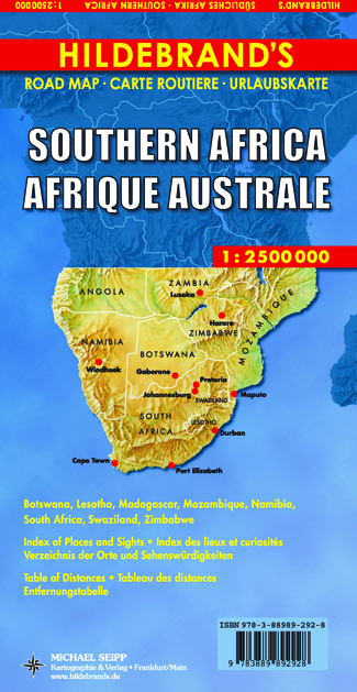
- Wegenkaart - landkaart Southern Africa - Zuidelijk Afrika | Hildebrand's
- Südliches Afrika 1 : 2 500 000. Hildebrand´s Urlaubskarte ab 9.95 EURO Botswana, Lesotho, Madagascar, Mozambique, Namibia, South Africa, Swaziland, Zimbabwe. Stadtpläne von Cape Town / Kaapstad, Johannesburg, Pretoria, Durban, Windhoek. Verzeichnis der Orte und Sehenswürdigkeiten, Entfernungstabelle, Reiseinformationen. Dreisprachige Ausgabe:... Read more

Netherlands
2018
- Wegenkaart - landkaart South Africa: Cape Peninsula | Slingsby Maps
- Cape Peninsula on a double-sided, handy A2-size map at 1:50,000 with excellent presentation of the topography, the road network and hiking trails, numerous places of interest and recreational sites, GPS waypoints, etc. Coverage extends north beyond central Cape Town to the city’s northern districts and includes Robben Island shown as an inset.... Read more
- Also available from:
- Stanfords, United Kingdom

United Kingdom
2018
- Cape Peninsula
- Cape Peninsula on a double-sided, handy A2-size map at 1:50,000 with excellent presentation of the topography, the road network and hiking trails, numerous places of interest and recreational sites, GPS waypoints, etc. Coverage extends north beyond central Cape Town to the city’s northern districts and includes Robben Island shown as an inset.... Read more
Netherlands
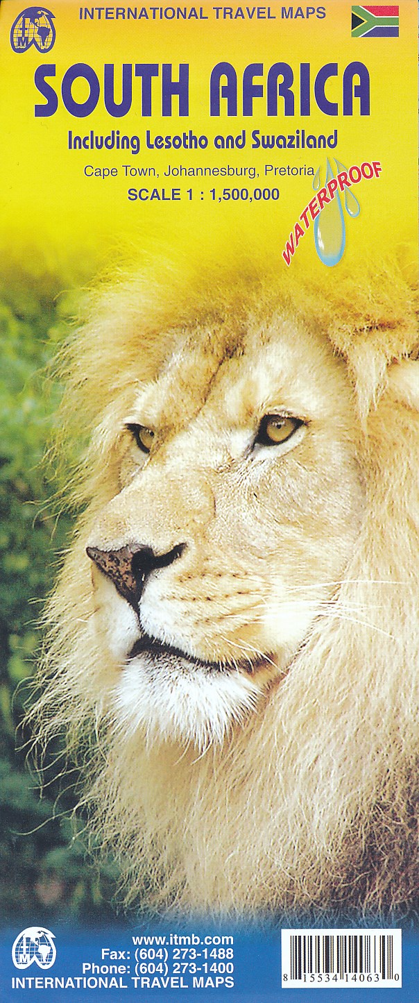
- Wegenkaart - landkaart Zuid Afrika - South Africa | ITMB
- South Africa 1 : 1 350 000 ab 10.5 EURO Including Lesotho and Swaziland International Travel Map ITM. 4th edition Read more
Netherlands
2023