Himalayas
Beschreibung
Links
Fakten
Berichte
Führer und Karten
Übernachtung
Organisationen
Reisebüros
GPS
Sonstiges
Bücher


The Book Depository
United Kingdom
2013
United Kingdom
2013
- A Walk in the Clouds
- 75 short stories of adventures among the mountains of the world Read more


The Book Depository
United Kingdom
United Kingdom
- Nepal Himalaya: The Most Mountainous of a Singularly Mountainous Country
- The Most Mountainous of a Singularly Mountainous Country Read more

The Book Depository
United Kingdom
2020
United Kingdom
2020
- Also available from:
- De Zwerver, Netherlands


The Book Depository
United Kingdom
United Kingdom
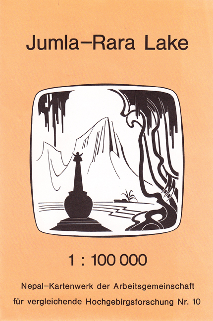
- The Great Himalaya Trail N3
- The Rara, Jumla & Mugu Section Read more


The Book Depository
United Kingdom
2018
United Kingdom
2018
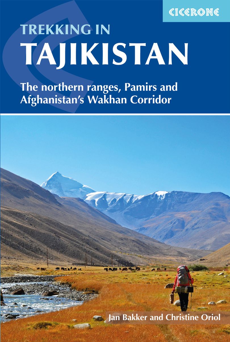
- Trekking in Tajikistan
- The northern ranges, Pamirs and Afghanistan's Wakhan Corridor Read more
- Also available from:
- De Zwerver, Netherlands
- Stanfords, United Kingdom
De Zwerver
Netherlands
2019
Netherlands
2019
- Wandelgids Trekking in Tajikistan - Tadzjikistan | Cicerone
- Guidebook to trekking in Tajikistan and Afghanistan. Contains 21 treks exploring 5 different mountain areas, including the Northern Ranges, Pamir Mountains and Afghanistan's Wakhan Corridor. Also includes a handful of shorter day hikes. With advice on trekking, backpacking equipment, permits and visas, and transport. Read more

Stanfords
United Kingdom
2018
United Kingdom
2018
- Trekking in Tajikistan: The northern ranges, Pamirs and Afghanistan`s Wakhan Corridor
- This guide describes twenty high-altitude treks of 2-9 days in the mountains of Tajikistan, covering the Fann Mountains, Pamirs and northern ranges, plus five day hikes near the capital, Dushanbe, and a 10-day trek in the Afghan Wakhan Corridor. As well as detailed route description and 1:100,000 mapping for each trek, there is a wealth of... Read more


Weitere Bücher…

Karten
De Zwerver
Netherlands
Netherlands
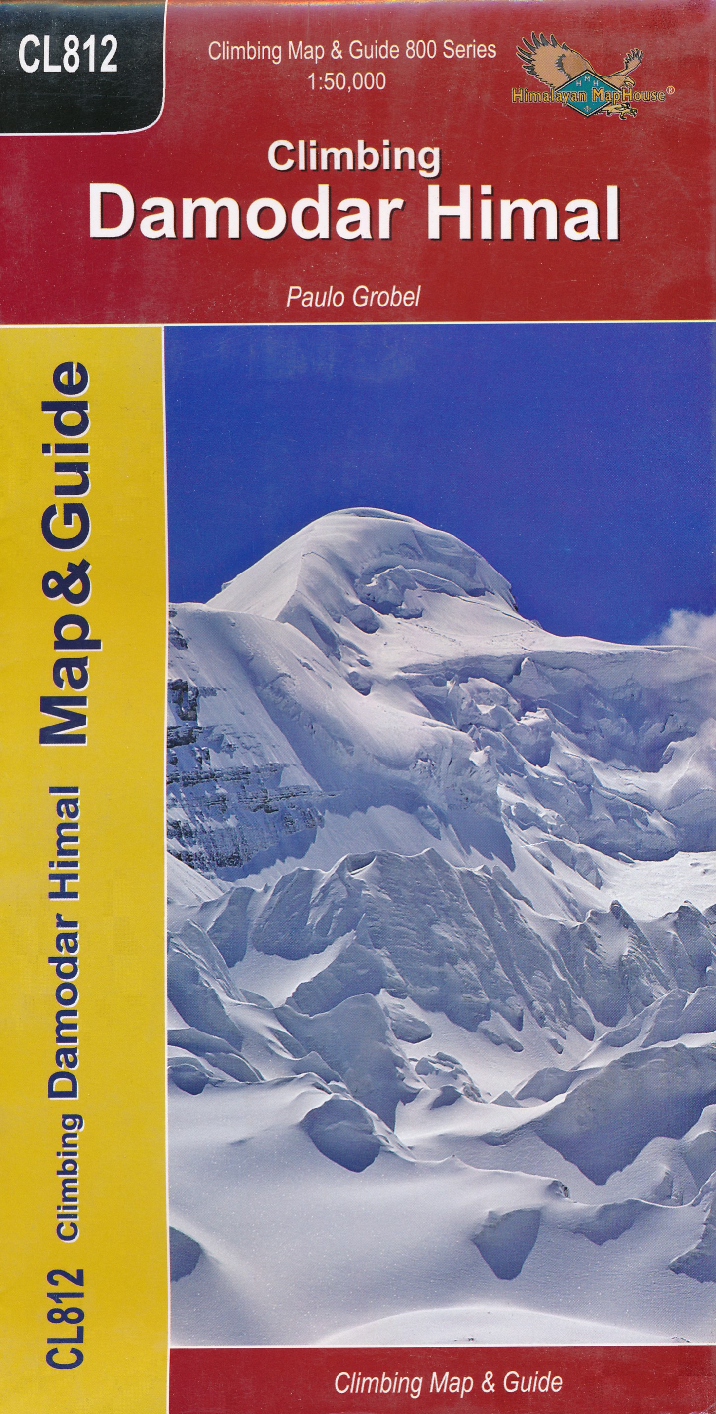
- Wandelkaart CL812 Climbing Damodir Himal - Saribung | Himalayan Maphouse
- Damodar Himal on the northern edge of the Annapurna Conservation area presented by Nepa Maps at 1:50,000 on a map extending from Phu northwards to the Gaurigi and Bhrikuti peaks and west to Muktinath and Ghiling (Geling). Contours are at 40m intervals, with heights for numerous peaks and colouring for the glaciated areas. The map highlights... Read more
- Also available from:
- Stanfords, United Kingdom

Stanfords
United Kingdom
United Kingdom
- Damodar Himal
- Damodar Himal on the northern edge of the Annapurna Conservation area presented by Nepa Maps at 1:50,000 on a map extending from Phu northwards to the Gaurigi and Bhrikuti peaks and west to Muktinath and Ghiling (Geling). Contours are at 40m intervals, with heights for numerous peaks and colouring for the glaciated areas. The map highlights... Read more
De Zwerver
Netherlands
2017
Netherlands
2017
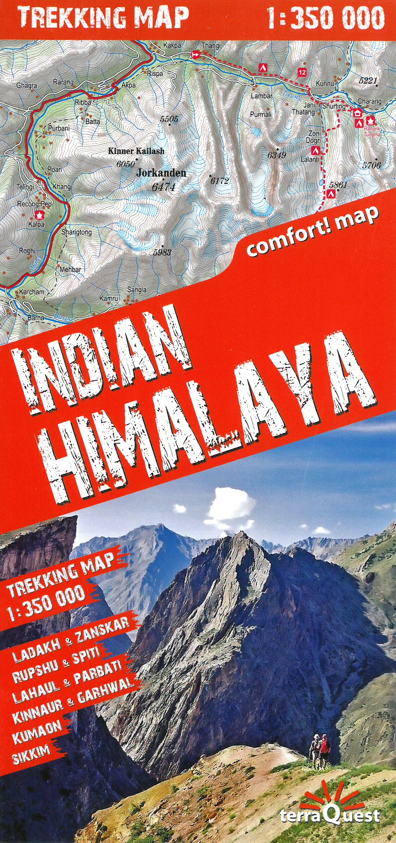
- Wandelkaart Trekking map Indian Himalaya | TerraQuest
- Mooie gedetailleerde kaart, geplastificeerd. De kaart heeft op de ene kant een algemeen overzicht van de Indische Himalaya met schaal 1/750.000 en op de andere zijde vind je de 22 trekking routes op schaal 1/350.000. Op zich geen zeer gedetailleerde wandelkaart. Er van uitgaande dat je de tochten toch met een gids of met een groep doet, dan is... Read more
- Also available from:
- Stanfords, United Kingdom

Stanfords
United Kingdom
2020
United Kingdom
2020
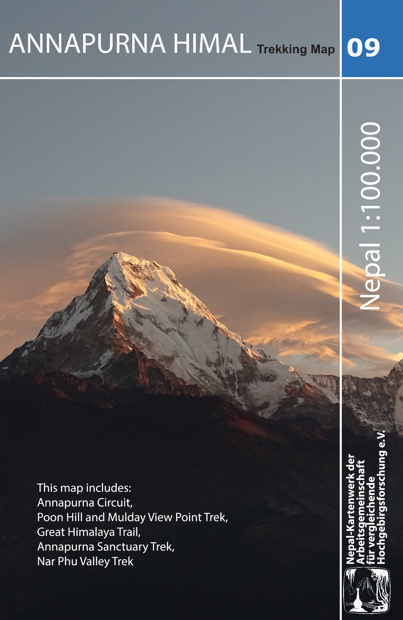
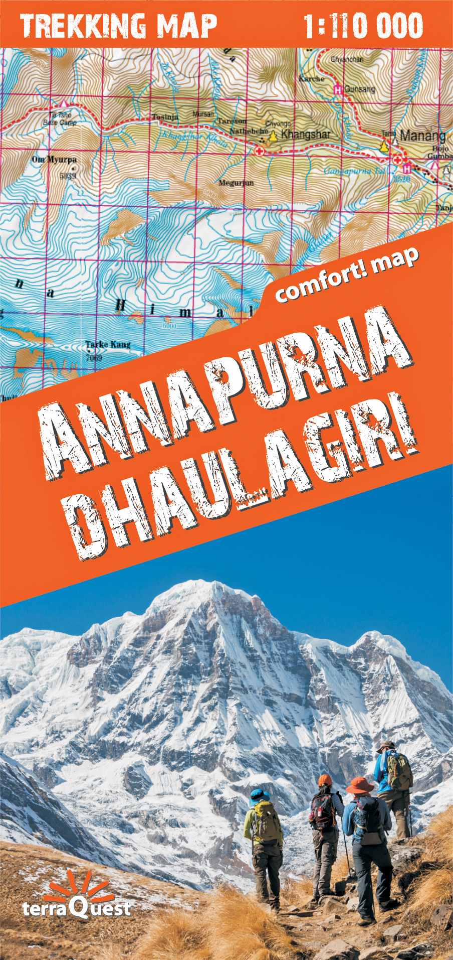
- Annapurna Himal
- Annapurna region at 1:100,000 in a series of detailed topographic maps of selected trekking areas of Nepal originally prepared by E. Schneider and now edited by the German Scientific Association of Comparative High-Mountain Research (Arbeitsgemeinschaft für vergleichende Hochgebirgsforschung). The map covers the whole of the Annapurna Circuit,... Read more
De Zwerver
Netherlands
2019
Netherlands
2019
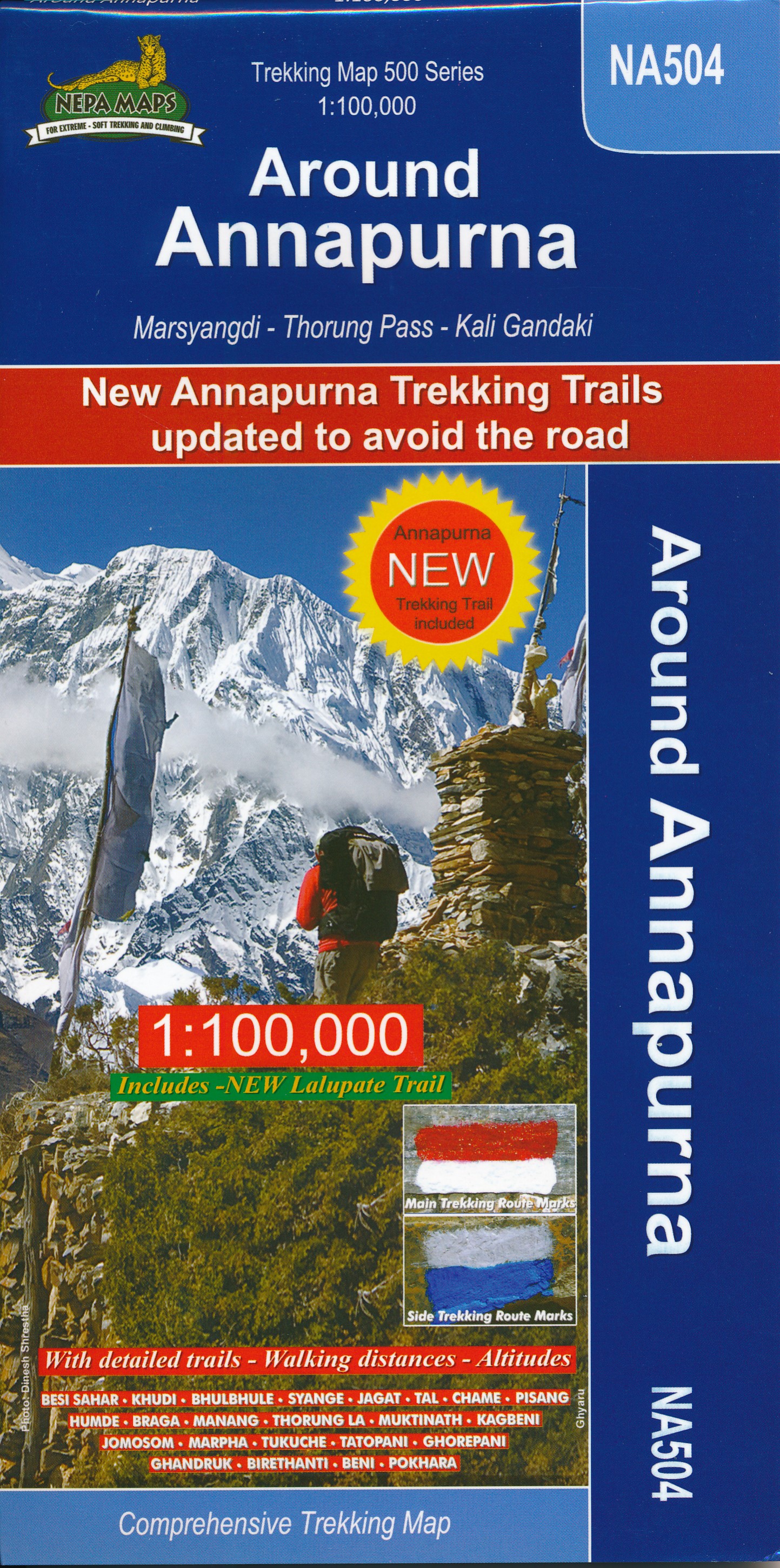
- Wandelkaart NA504 Trekking map Around Annapurna | Himalayan Maphouse
- The whole of the Annapurna Circuit highlighted on a map at 1:100,000 from Nepa Maps, with alternative variants via the Tilicho Lakes or Naar, treks to the Machhapuchhre and South Annapurna Base Camps, climbing routes to the Chulu Peaks, Pisang Peak and Singu Chuli (Fluted Peak), etc. Coverage extends from Pohkara to Muktinath and Kagbeni in the... Read more
De Zwerver
Netherlands
Netherlands
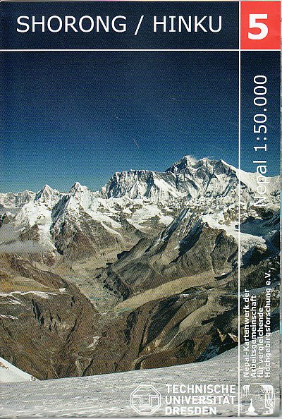
- Wandelkaart 05 Nepal Shorong - Hinku | Nepal Kartenwerk
- Shorong - Hinku region of Nepal at 1:50,000 on a waterproof and tear-resistant map in the famous Schneider series, revised in 2013 to include extensive tourist information for trekking routes in the area directly south of the Sagarmatha National Park. Centered on Lukla, coverage extends north to Namche Bazaar and south just beyond Kharikhola... Read more
- Also available from:
- Stanfords, United Kingdom

Stanfords
United Kingdom
United Kingdom
- Shorong - Hinku
- Shorong - Hinku region of Nepal at 1:50,000 on a waterproof and tear-resistant map in the famous Schneider series, revised in 2013 to include extensive tourist information for trekking routes in the area directly south of the Sagarmatha National Park. Centered on Lukla, coverage extends north to Namche Bazaar and south just beyond Kharikhola... Read more
De Zwerver
Netherlands
Netherlands
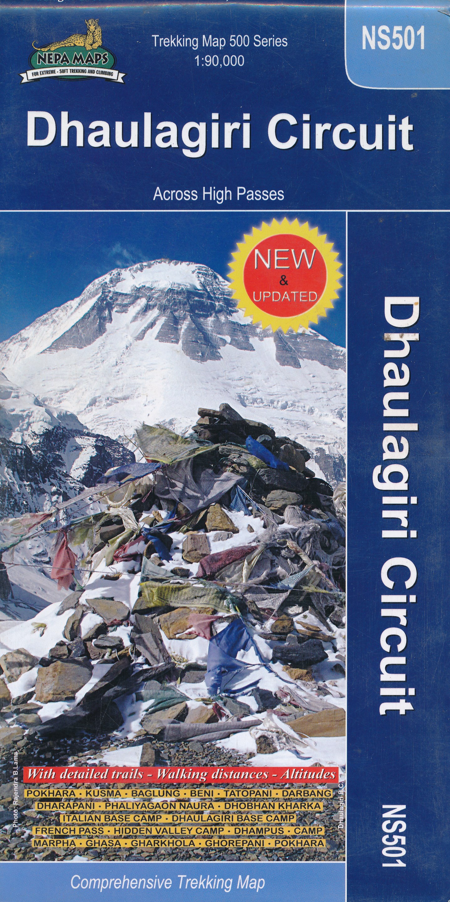
- Wandelkaart NS501 Trekking map Dhaulagiri Circuit | Himalayan Maphouse
- Upper Mustang area at 1:100,000 in the Nepa Maps series which provides extensive coverage of trekking areas of Nepal on detailed contoured maps with trekking routes and hiking trails, huts and camp sites, local places of interest and other tourist information.The map shows trekking routes in the northern part of the Annapurna Conservation Area,... Read more
De Zwerver
Netherlands
Netherlands
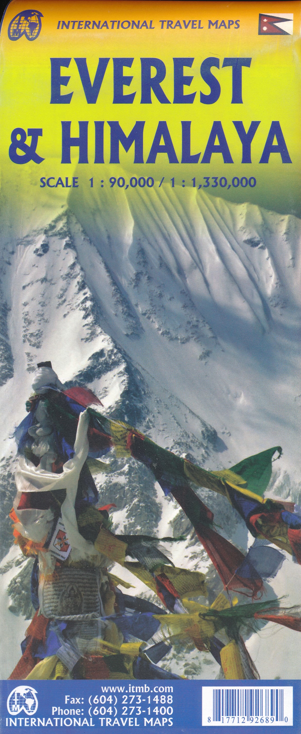
- Wandelkaart Mount Everest - Himalaya | ITMB
- Mt Everest region at 1:100,000 from ITMB on a contoured map with tourist information but with somewhat unusual choice of colouring which makes the whole area appear more like a desert rather the highest mountain range covered in glaciers!Coverage extends from Lukla to beyond the North Base Camp on the Tibetan side. The map has contour lines at... Read more
De Zwerver
Netherlands
2023
Netherlands
2023
Weitere …