
Martinique
Beschreibung
Links
Fakten
Berichte
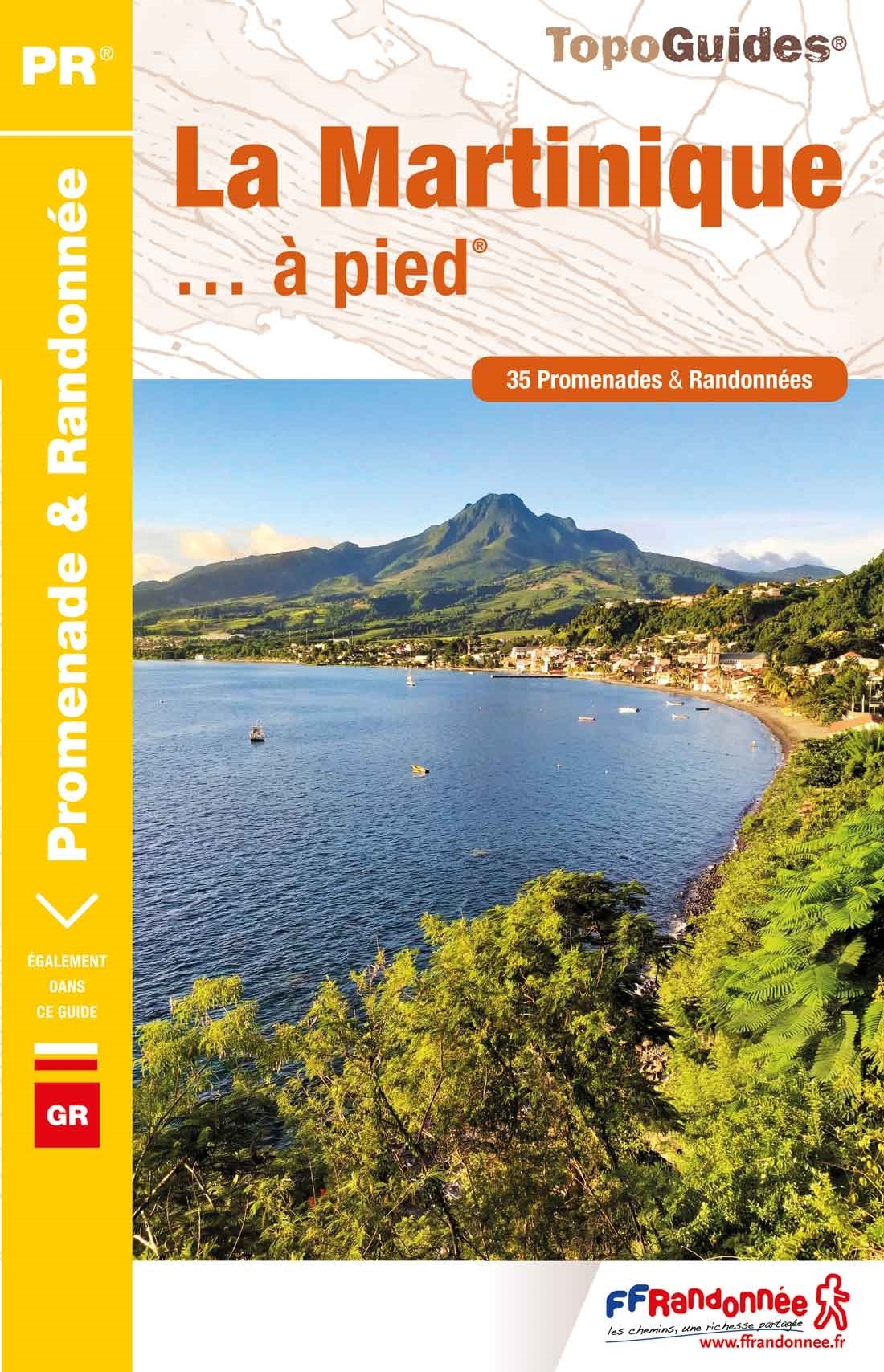
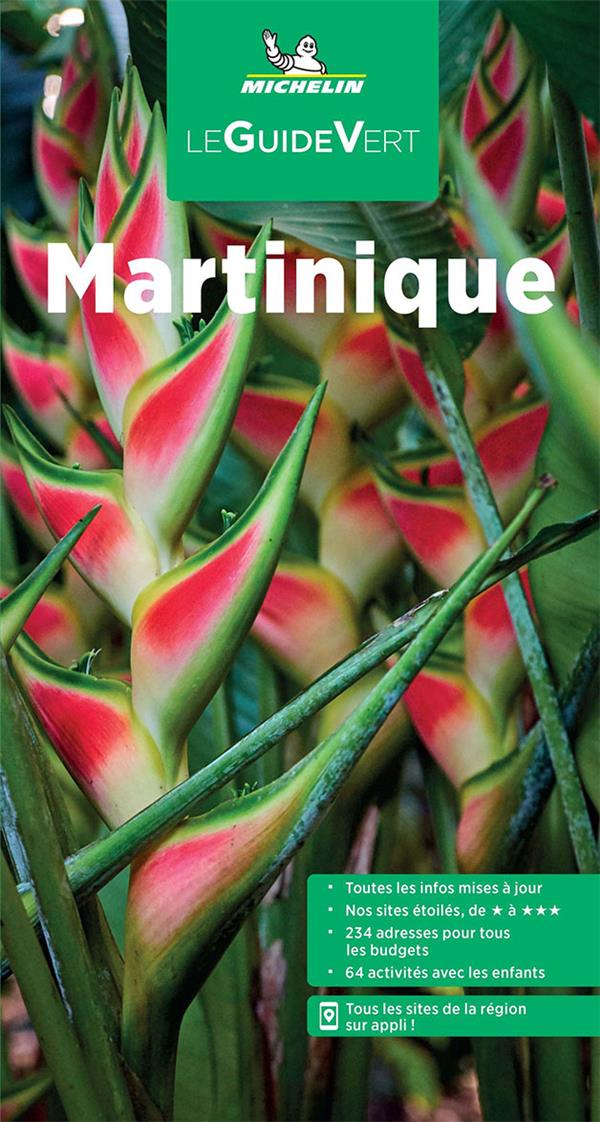
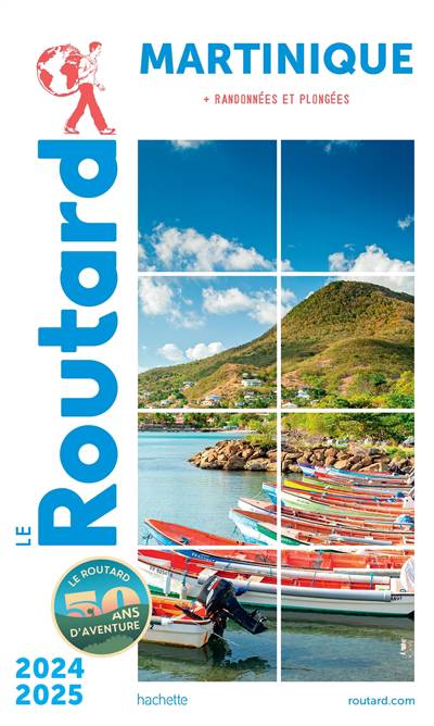
Führer und Karten
Übernachtung
Organisationen
Reisebüros
GPS
Sonstiges
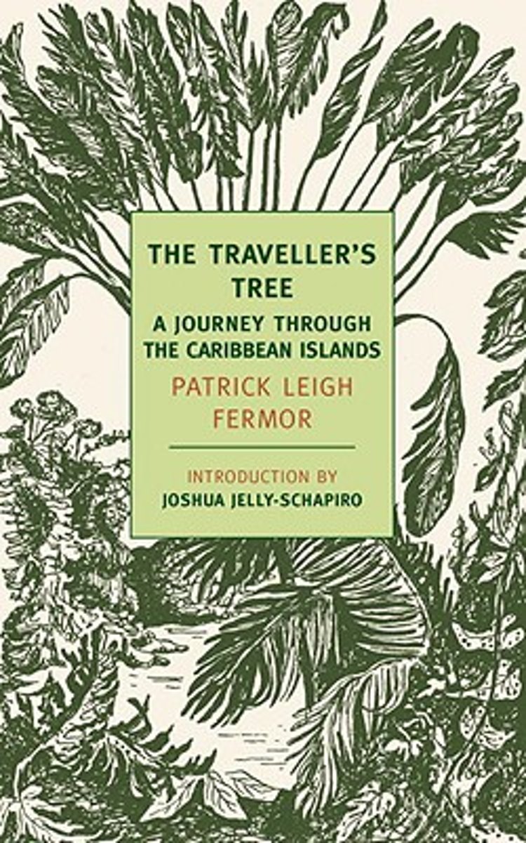
Bücher

- Also available from:
- De Zwerver, Netherlands
Bol.com
Netherlands
Netherlands
- The Traveller's Tree
- In the late 1940s Patrick Leigh Fermor, now widely regarded as one of the twentieth century s greatest travel writers, set out to explore the then relatively little-visited islands of the Caribbean. Rather than a comprehensive political or historical study of the region, The Traveller s Tree, Leigh Fermor s first book, gives us his own vivid,... Read more
- Also available from:
- Bol.com, Belgium
Bol.com
Belgium
Belgium
- The Traveller's Tree
- In the late 1940s Patrick Leigh Fermor, now widely regarded as one of the twentieth century s greatest travel writers, set out to explore the then relatively little-visited islands of the Caribbean. Rather than a comprehensive political or historical study of the region, The Traveller s Tree, Leigh Fermor s first book, gives us his own vivid,... Read more
Bol.com
Netherlands
2017
Netherlands
2017
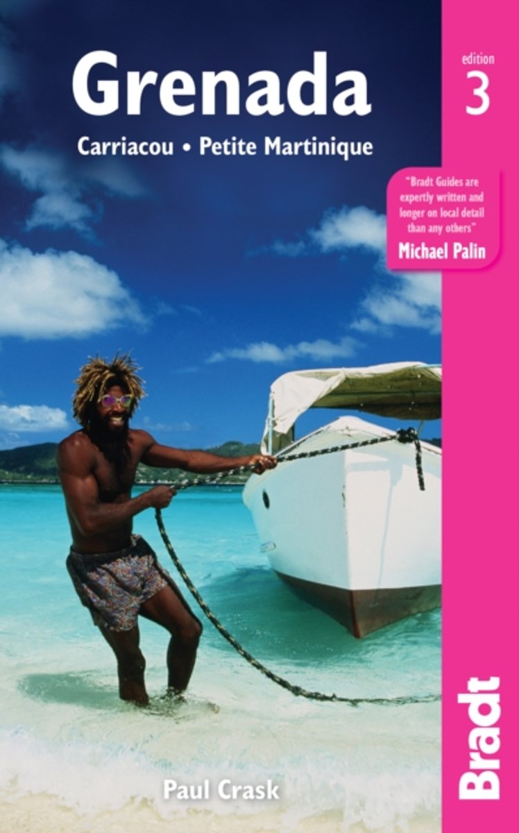
- Grenada, Carriacou, Petite Martinique
- Written by Caribbean-based writer and photographer Paul Crask, this new, thoroughly updated third edition of Bradt's Grenada, Carriacou and Petite Martinique is the only standalone guide available to this alluring Caribbean destination. With insider knowledge of the islands, from luxurious villas and resorts to pastoral villages and mountain... Read more
- Also available from:
- Bol.com, Belgium
Bol.com
Belgium
2017
Belgium
2017
- Grenada, Carriacou, Petite Martinique
- Written by Caribbean-based writer and photographer Paul Crask, this new, thoroughly updated third edition of Bradt's Grenada, Carriacou and Petite Martinique is the only standalone guide available to this alluring Caribbean destination. With insider knowledge of the islands, from luxurious villas and resorts to pastoral villages and mountain... Read more
Karten

The Book Depository
United Kingdom
United Kingdom
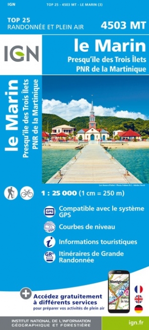
- Le Marin / Presqu ile Trois Ilets / PNR Martinique
- One of the three topographic maps from the Institut Géographique National in Paris covering Martinique. Cartography is similar to that used for IGN’s coverage of France at this scale, with contours at 10m intervals, relief shading, and plenty of information on the type of vegetation: woods and forests, brushwood, plantations and orchards,... Read more
- Also available from:
- De Zwerver, Netherlands
- Stanfords, United Kingdom
De Zwerver
Netherlands
Netherlands
- Wandelkaart - Topografische kaart 4503MT Le Marin - Presqu'île Trois Ilets - PNR Martinique | IGN - Institut Géographique National
- One of the three topographic maps from the Institut Géographique National in Paris covering Martinique. Cartography is similar to that used for IGN’s coverage of France at this scale, with contours at 10m intervals, relief shading, and plenty of information on the type of vegetation: woods and forests, brushwood, plantations and orchards,... Read more

Stanfords
United Kingdom
United Kingdom
- Martinique - Le Marin - Presqu`ile des Trois Ilets IGN 4503MT
- One of the three topographic maps from the Institut Géographique National in Paris covering Martinique. Cartography is similar to that used for IGN’s coverage of France at this scale, with contours at 10m intervals, relief shading, and plenty of information on the type of vegetation: woods and forests, brushwood, plantations and orchards,... Read more

The Book Depository
United Kingdom
United Kingdom
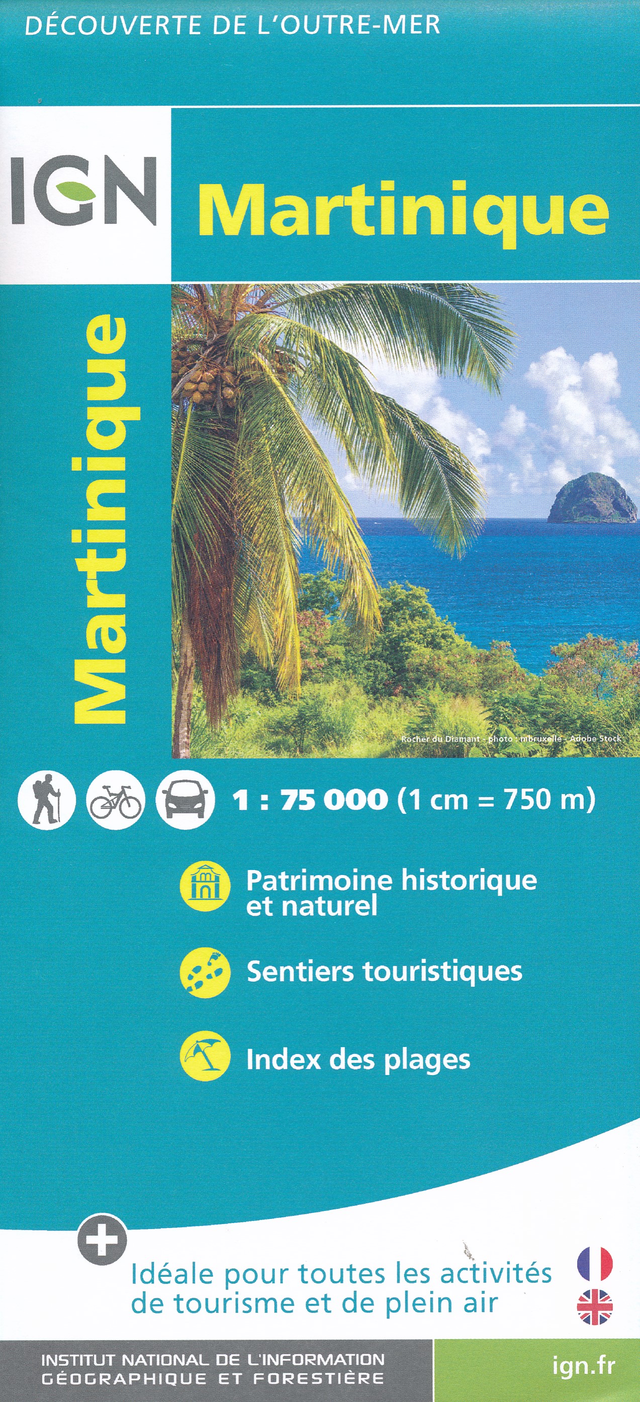
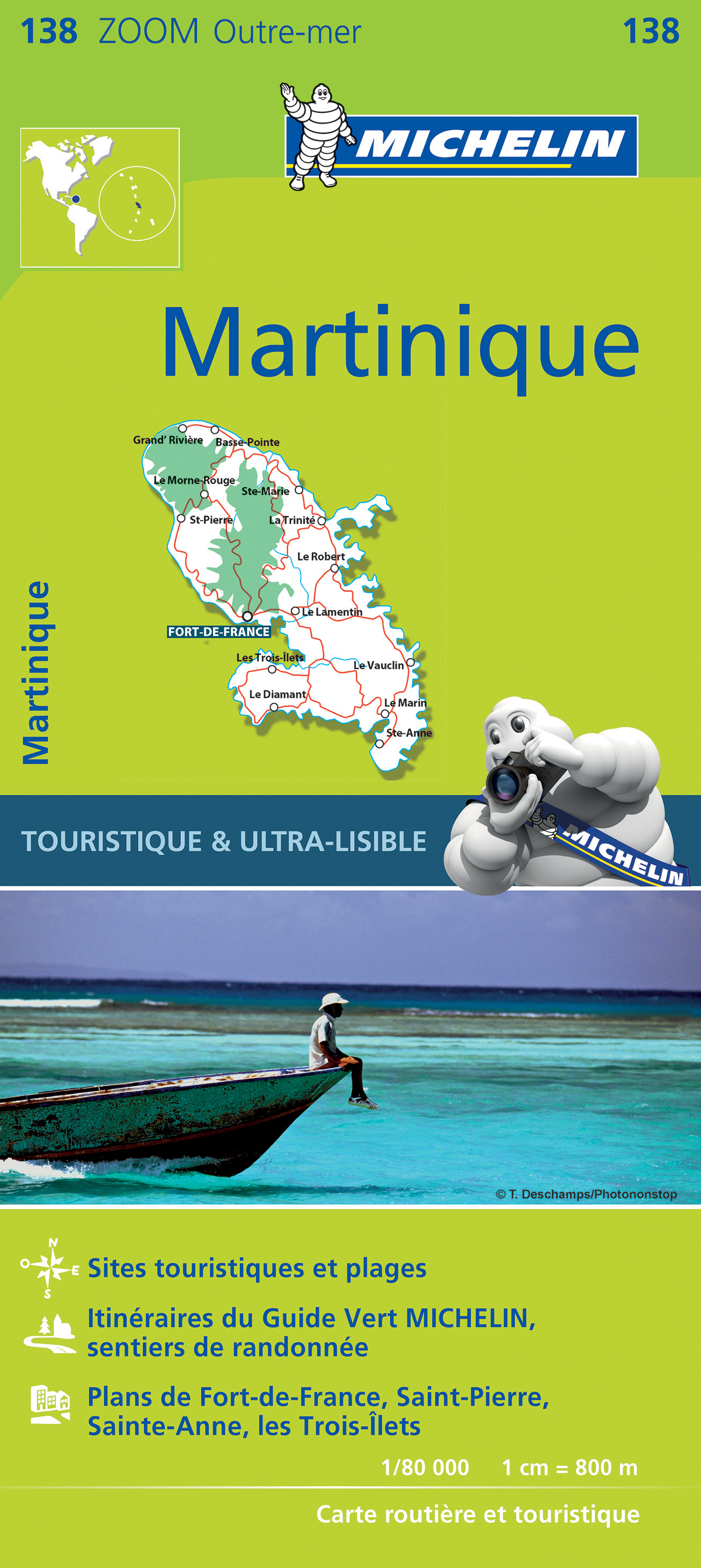
- Martinique domtom
- Martinique at 1:75,000 on a map from the IGN, the national mapping agency of France, with highlighting for places of interest and hiking trails, presentation of topography through contours and relief shading, etc, plus aerial photographic plans of Fort-de-France and St-Pierre. Detailed classification of the road network includes country tracks... Read more
- Also available from:
- De Zwerver, Netherlands
- Stanfords, United Kingdom
De Zwerver
Netherlands
Netherlands
- Wandelkaart - Fietskaart Martinique | IGN - Institut Géographique National
- Martinique at 1:75,000 on a map from the IGN, the national mapping agency of France, with highlighting for places of interest and hiking trails, presentation of topography through contours and relief shading, etc, plus aerial photographic plans of Fort-de-France and St-Pierre. Detailed classification of the road network includes country tracks... Read more

Stanfords
United Kingdom
United Kingdom
- Martinique IGN 84972
- Martinique at 1:75,000 on a map from the IGN, the national mapping agency of France, with highlighting for places of interest and hiking trails, presentation of topography through contours and relief shading, etc, plus aerial photographic plans of Fort-de-France and St-Pierre. Detailed classification of the road network includes country tracks... Read more
De Zwerver
Netherlands
Netherlands
- Wandelkaart - Topografische kaart 4501MT Fort-de-France - Montagne Pelée - PNR Martinique | IGN - Institut Géographique National
- One of the three topographic maps from the Institut Géographique National in Paris covering Martinique. Cartography is similar to that used for IGN’s coverage of France at this scale, with contours at 10m intervals, relief shading, and plenty of information on the type of vegetation: woods and forests, brushwood, plantations and orchards,... Read more
- Also available from:
- Stanfords, United Kingdom

Stanfords
United Kingdom
United Kingdom
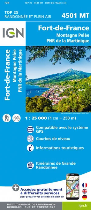
- Martinique - Fort-de-France - Montagne Pelee - PNR de la Martinique IGN 4501MT
- One of the three topographic maps from the Institut Géographique National in Paris covering Martinique. Cartography is similar to that used for IGN’s coverage of France at this scale, with contours at 10m intervals, relief shading, and plenty of information on the type of vegetation: woods and forests, brushwood, plantations and orchards,... Read more
De Zwerver
Netherlands
Netherlands
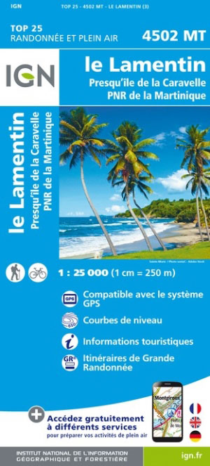
- Wandelkaart - Topografische kaart 4502MT Le Lamentin - Presqu''île Caravelle - PNR Martinique | IGN - Institut Géographique National
- One of the three topographic maps from the Institut Géographique National in Paris covering Martinique. Cartography is similar to that used for IGN’s coverage of France at this scale, with contours at 10m intervals, relief shading, and plenty of information on the type of vegetation: woods and forests, brushwood, plantations and orchards,... Read more
- Also available from:
- Stanfords, United Kingdom

Stanfords
United Kingdom
United Kingdom
- Martinique - Le Lamentin - Presqu`ile de la Caravalle IGN 4502MT
- One of the three topographic maps from the Institut Géographique National in Paris covering Martinique. Cartography is similar to that used for IGN’s coverage of France at this scale, with contours at 10m intervals, relief shading, and plenty of information on the type of vegetation: woods and forests, brushwood, plantations and orchards,... Read more
De Zwerver
Netherlands
Netherlands
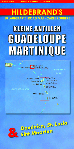
- Wegenkaart - landkaart Kleine Antillen - Guadeloupe, Martinique & Dominica, St. Lucia & Sint Maarten | Hildebrand's
- Indexed maps at various scales portraying Martinique, Dominica, St. Lucia, St. Martin, St Barthélemy and Guadeloupe (La Désirade, Les Saintes and Marie-Galante in insets). The most striking characteristic is the vivid representation of the general relief, using hill-shading. Some peak heights are marked and national parks, and reefs are shown.... Read more
- Also available from:
- Stanfords, United Kingdom

Stanfords
United Kingdom
United Kingdom
- Lesser Antilles: Guadeloupe and Martinique
- Indexed maps at various scales portraying Martinique, Dominica, St. Lucia, St. Martin, St Barthélemy and Guadeloupe (La Désirade, Les Saintes and Marie-Galante in insets). The most striking characteristic is the vivid representation of the general relief, using hill-shading. Some peak heights are marked and national parks, and reefs are shown.... Read more

Stanfords
United Kingdom
United Kingdom
- Caribbean Islands East & South ITMB Travel Atlas
- The islands of the eastern and southern Caribbean presented by ITMB in a handy size, A5, paperback, indexed atlas with city centre street plans of main cities. The mapping is taken from ITMB’s extensive coverage of the region on individual country maps, so scales vary.The atlas covers: Antigua and Barbuda (1:35,000/25,000, with street plans of... Read more

Stanfords
United Kingdom
United Kingdom
- Martinique & Guadeloupe ITMB
- Martinique and Guadeloupe with Saint-Barthélemy and Saint Martin at 1:65,000 and 1:100,000 respectively on a double-sided map from ITMB presenting each island with a street plan of the town centre in its capital. On one side is Martinique at 1:65,000 a street plan of Fort-de-France at 1:10,000. On the reverse coverage of Guadeloupe at 1:100,000... Read more
Stanfords
United Kingdom
United Kingdom
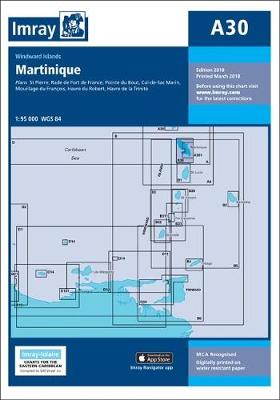
- A30 Martinique
- Plans included:St Pierre (1:20 000)Rade de Fort de France (1:15 000)Pointe du Bout (1:35 000)Cul-de-Sac Marin (1:35 000)Mouillage du François (1:50 000)Havre du Robert (1:45 000)Havre de la Trinité (1:30 000)On this 2018 edition the chart specification has been improved to show coloured light flashes. The plan of Rade de Fort de France has been... Read more