
Albanien
Beschreibung
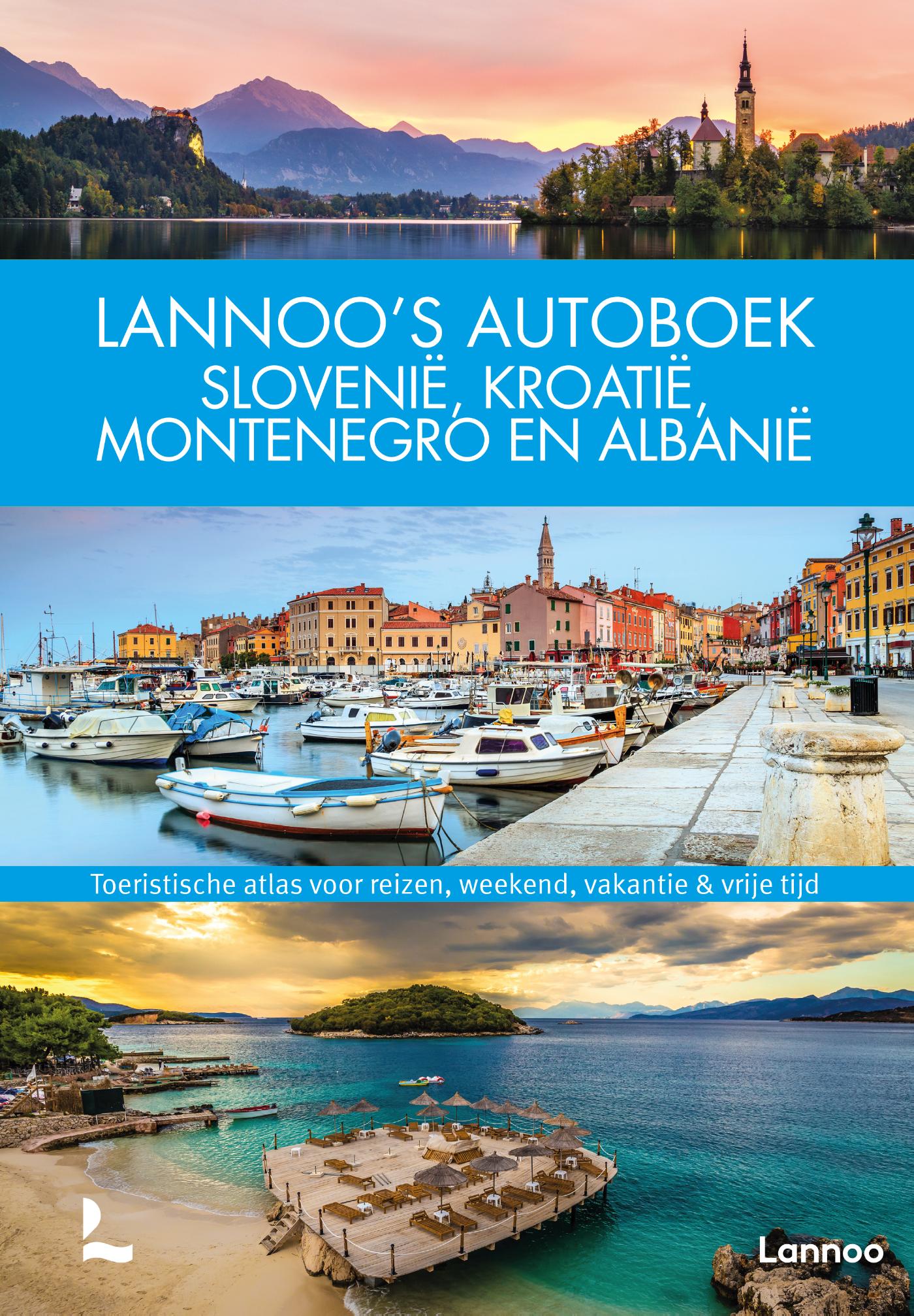
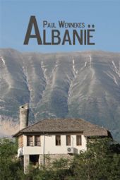
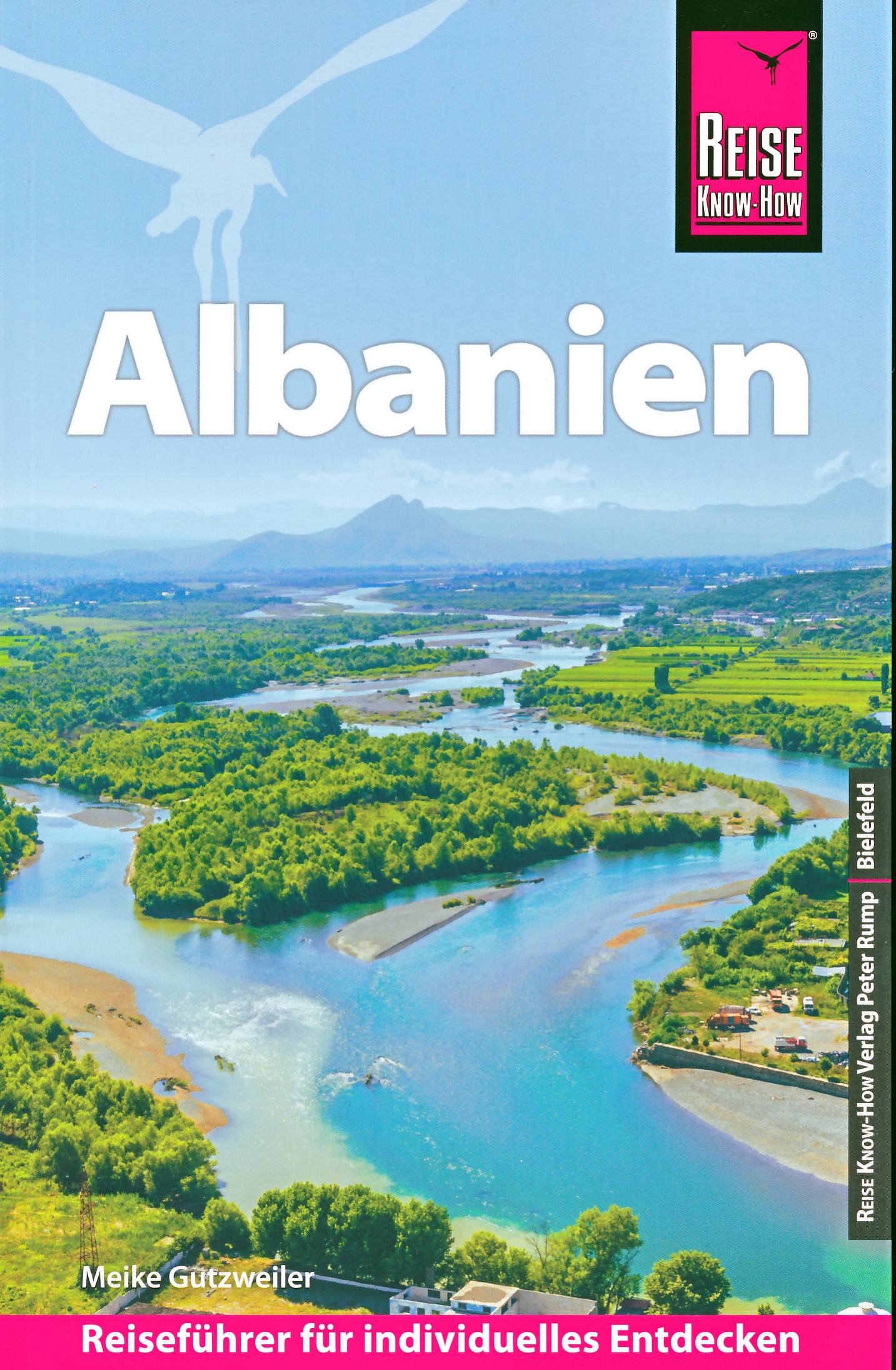
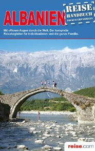
 Squeezed in between Montenegro in the north and Greece in the south lies Albania, a land of rugged mountains and gorges, rolling hills, remote villages and byzantine churches. In the west the country borders on both the Adriatic and the Ionian Sea, with dramatic limestone cliffs in the south. Being one of the poorest countries in Europe, the last pockets of truly isolated subsistence farming can be found here. It's a bit like traveling back in time, in the tracks of the renowned early 19th century English poet Lord Byron, who passed through Albania on his way to the palace of Ali Pasha in the autumn of 1809.
To walk in Albania means to share footpaths and dirt roads with local pedestrians trailing their horses and donkeys, to meet friendly villagers, and shepherds watching over their herds up in the hills. There are no waymarked long distance hiking trails that we know of, and detailed maps are hard to come by.
Winters in Albania can be quite cool, and summers are scorching, so in general the best seasons to go are spring and autumn. In the Albanian interior, hotels or private rooms may be hard to find.
Wanderwege
Regionen
Berge


Links
Fakten
Berichte
Führer und Karten
Übernachtung
Organisationen
Reisebüros
GPS
Sonstiges
Bücher
Netherlands
2017
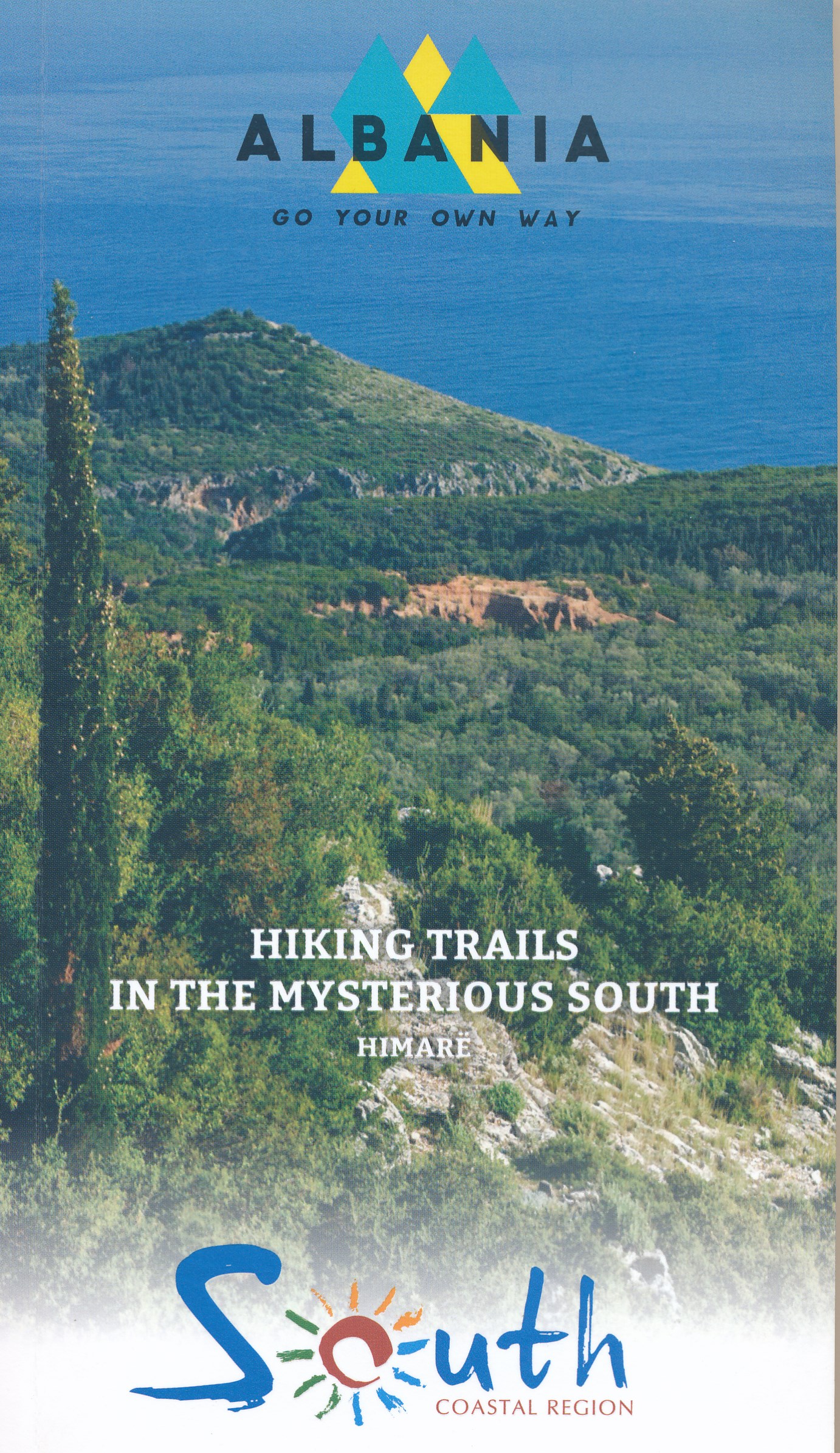
- Wandelgids Hiking trails in mysterious south Albania | Vektor
- Kleine wandelgids van een deelgiebied in het zuiden van Albanië. Routes zijn redelijk beschreven en de kaarten die er bij gevoegd zijn, zijn ook van redelijk nivo. Read more
Netherlands
2014
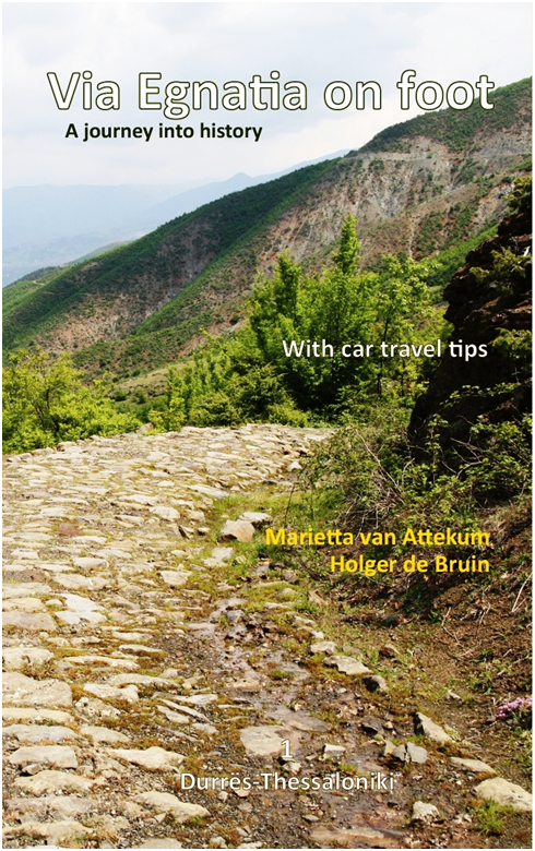
- Wandelgids Via Egnatia on foot deel 1 (Albanië - Griekenland) | Via Egnatia Foundation
- Deze Engelstalige gids is deel 1 in een serie van 3 delen. In dit boek is het stuk tussen Dürres en Thessaloniki beschreven, de complete route is van Dürres tot Istanbul. De overige 2 delen moeten nog verschijnen. De gids bevat een stap voor stap beschrijving van de route (460km) met gedetailleerde topografische kaarten, stadsplattegronden met... Read more
Netherlands
Netherlands
2014
- Reisgids Albanië - Albanie | Boekscout
- Wat is de waarheid over Albanië? Qua natuur is het een woest land. Het heeft ongerepte plekken waar maar heel weinig mensen komen. Je vindt er een prachtige kustlijn met enorme stranden en een cultuur vanaf de Illyriërs tot heden. De mensen in Albanië zijn gastvrij en vriendelijk. Je kunt er indrukwekkende opgravingen en kastelen en prachtige... Read more
Netherlands
2013
- Reisgids Albanie - Albanien Reiseführer | Verlag Unterwegs
- Uitgebreide duitstalige reisgids met zowel culturele als praktische zaken. Daarnaast worden een aantal routes beschreven. Dieses Buch wird Sie begleiten und Ihnen die schönsten; interessanteten und erlebnisreichsten Routen beschreiben. Sie werden davon profitieren - egal, ob Sie Albanien mit dem Auto, Fahrrad oder als Wanderer entdecken... Read more
Netherlands
- Land of Eagles
- Albania is the least-known and least developed country in Europe. It has a long, rich and troubled past, characterised by unrest and isolationism. Today, very little is known of its people - beyond those who have emigrated to other countries in Europe - and its landscapes have remained virtually untravelled for centuries. Determined to discover... Read more
- Also available from:
- Bol.com, Belgium
Belgium
- Land of Eagles
- Albania is the least-known and least developed country in Europe. It has a long, rich and troubled past, characterised by unrest and isolationism. Today, very little is known of its people - beyond those who have emigrated to other countries in Europe - and its landscapes have remained virtually untravelled for centuries. Determined to discover... Read more
Karten
Netherlands
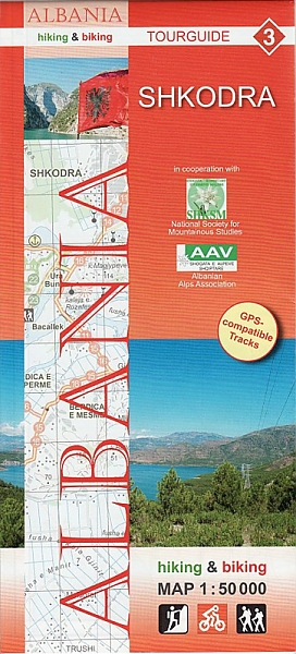
- Wandelkaart - Fietskaart 3 Shkodra | Huber Verlag
- Shkodra and Environs area of northern Albania at 1:50,000 in a series of GPS compatible contoured maps from Huber Verlag showing hiking and cycling routes, climbing sites, tourist accommodation, etc. Descriptions cover 16 cycling routes and one hiking trail, all with route-profiles.Maps in this series, prepared in cooperation with the Albanian... Read more
- Also available from:
- Stanfords, United Kingdom

United Kingdom
- Shkodra Huber Hiking & Biking Map
- Shkodra and Environs area of northern Albania at 1:50,000 in a series of GPS compatible contoured maps from Huber Verlag showing hiking and cycling routes, climbing sites, tourist accommodation, etc. Descriptions cover 16 cycling routes and one hiking trail, all with route-profiles.Maps in this series, prepared in cooperation with the Albanian... Read more
Netherlands
Netherlands
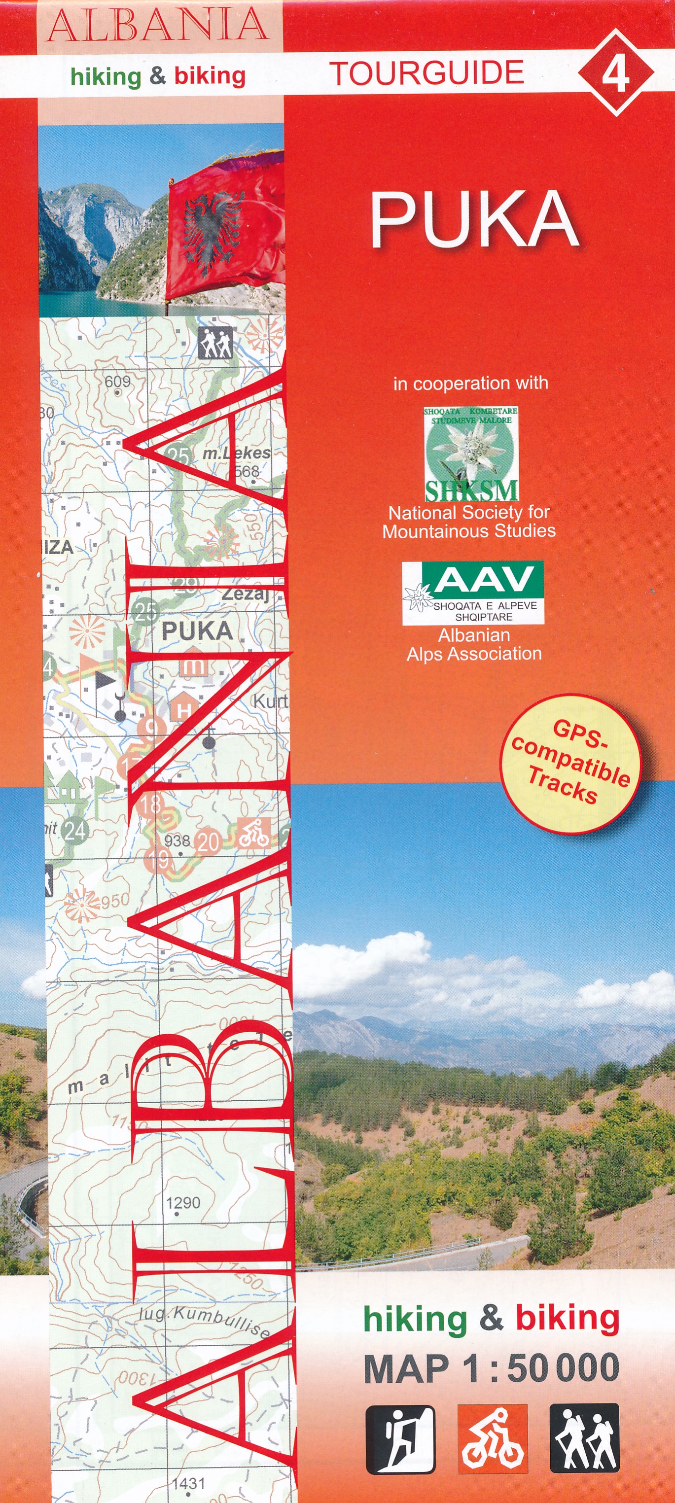
- Wandelkaart 4 Puka | Huber Verlag
- Puka and Environs area of northern Albania at 1:50,000 in a series of GPS compatible contoured maps from Huber Verlag showing hiking and cycling routes, climbing sites, tourist accommodation, etc. Descriptions cover 24 cycling routes and four hiking trails.Maps in this series, prepared in cooperation with the Albanian Alps Associations and the... Read more
- Also available from:
- Stanfords, United Kingdom

United Kingdom
- Puka Huber Hiking & Biking Map
- Puka and Environs area of northern Albania at 1:50,000 in a series of GPS compatible contoured maps from Huber Verlag showing hiking and cycling routes, climbing sites, tourist accommodation, etc. Descriptions cover 24 cycling routes and four hiking trails.Maps in this series, prepared in cooperation with the Albanian Alps Associations and the... Read more
Netherlands
2016
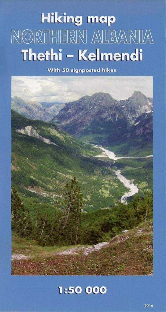
- Wandelkaart Wanderkarte Nordalbanien Thethi und Kelmend | Huber Verlag
- Wandelkaart van een bijzonder gebied. Veel detail, prima om op te lopen. Höhenangaben in Meter, Äquidistanz 20 Meter, Höhenlinien, Gitternetz. 17 Wandervorschläge: 1. Rundspaziergang Thethi Zentrum - Wasserfall (ujevara) - Canyon Grunas-Kulla e Ngujimit - Thethi Zentrum. 2. Rundwanderung Theti - Nenrreth - Ulaj - Theti. 3. Thethi - Fahrstrasse... Read more
Netherlands
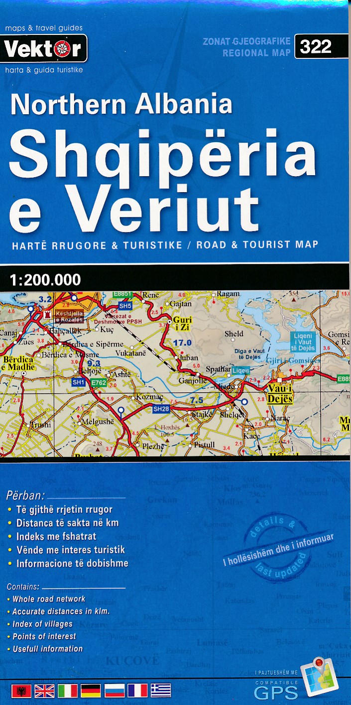
- Wegenkaart - landkaart 322 Noord Albanië - Shqipëria e Veriut | Vektor
- Albanien Nord Straßenkarte 1 : 200 000 GPS ab 8.99 EURO 2nd edition Read more
Netherlands
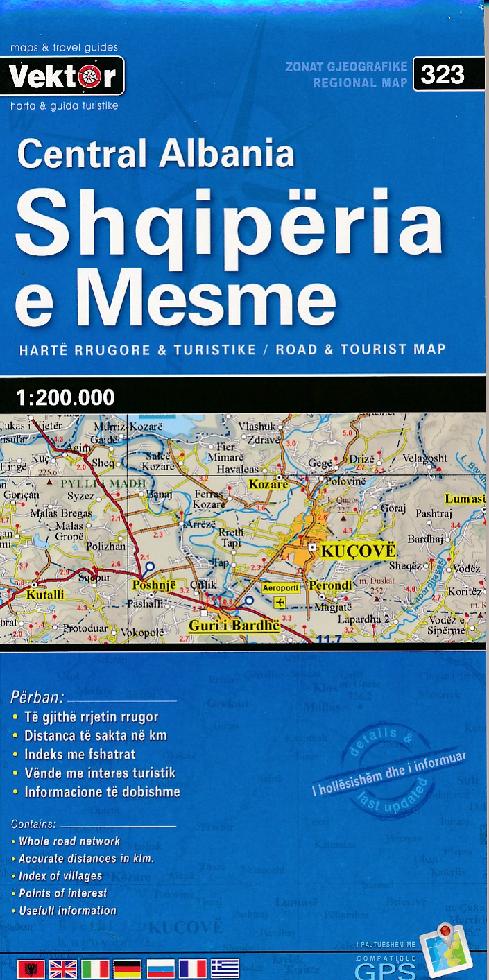
- Wegenkaart - landkaart 323 Centraal Albanië - Shqipëria e Mesme | Vektor
- Albanien Mitte Straßenkarte 1 : 200 000 GPS ab 8.99 EURO 2nd Edition Read more
Netherlands
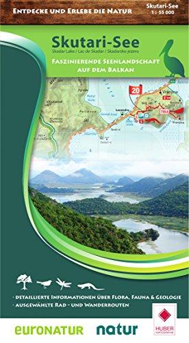
- Wandelkaart Skutari See National Park - Meer van Shkodër - Skadarmeer - Lake Skadar | Huber Verlag
- Skadarsko jezero Nacionalni park, wandelkaart met hoogtelijnen en opdruk van wandelroutes en fietsroutes en toeristische informatie van het nationale park bij het Scutari meer op de grens van Montenegro met Albanie. Read more
Netherlands
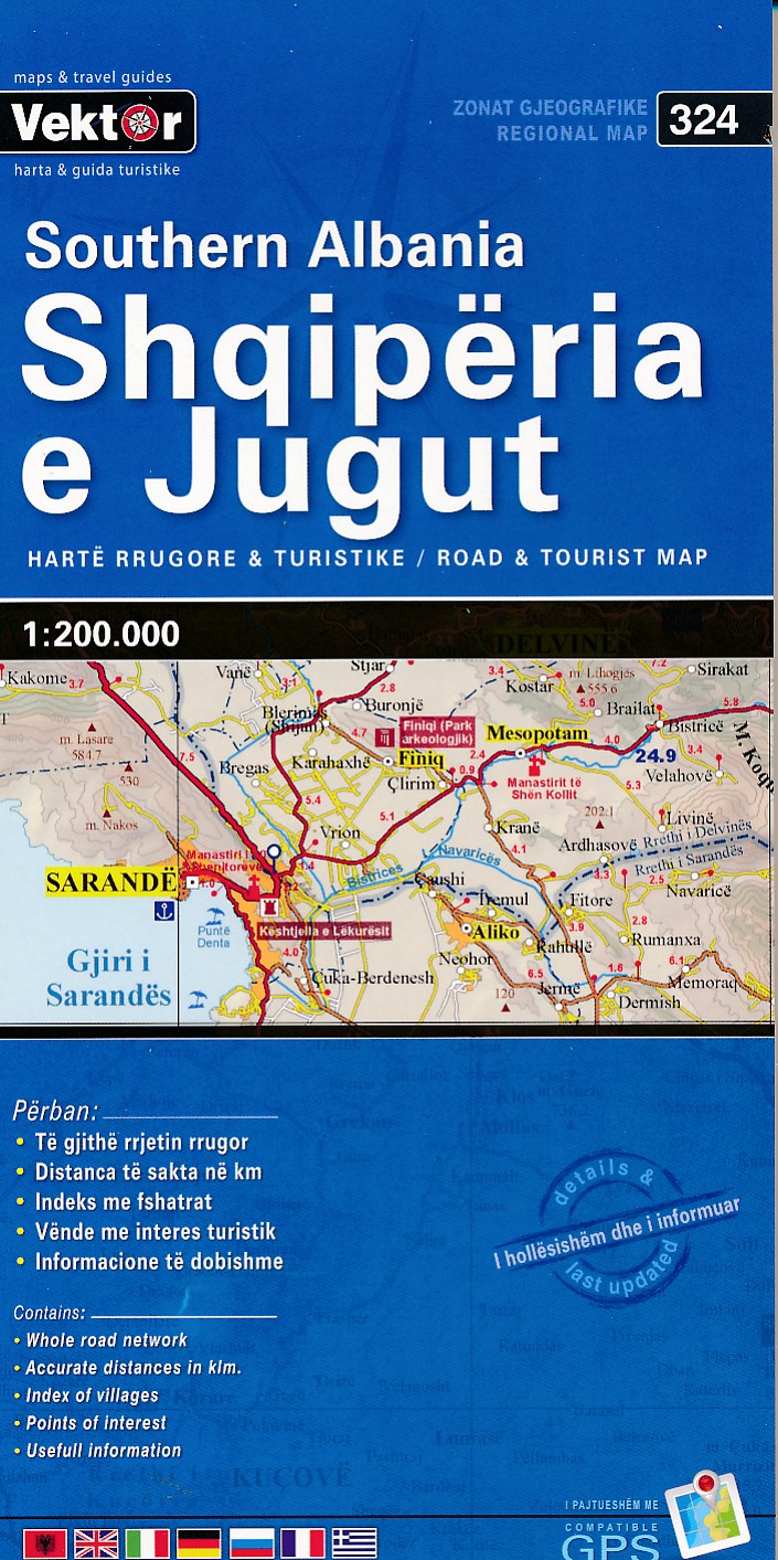
- Wegenkaart - landkaart 324 Zuid Albanië - Shqipëria e Jugut | Vektor
- Albanien Süd Straßenkarte 1 : 200 000 GPS ab 8.99 EURO 2nd edition Read more
Netherlands
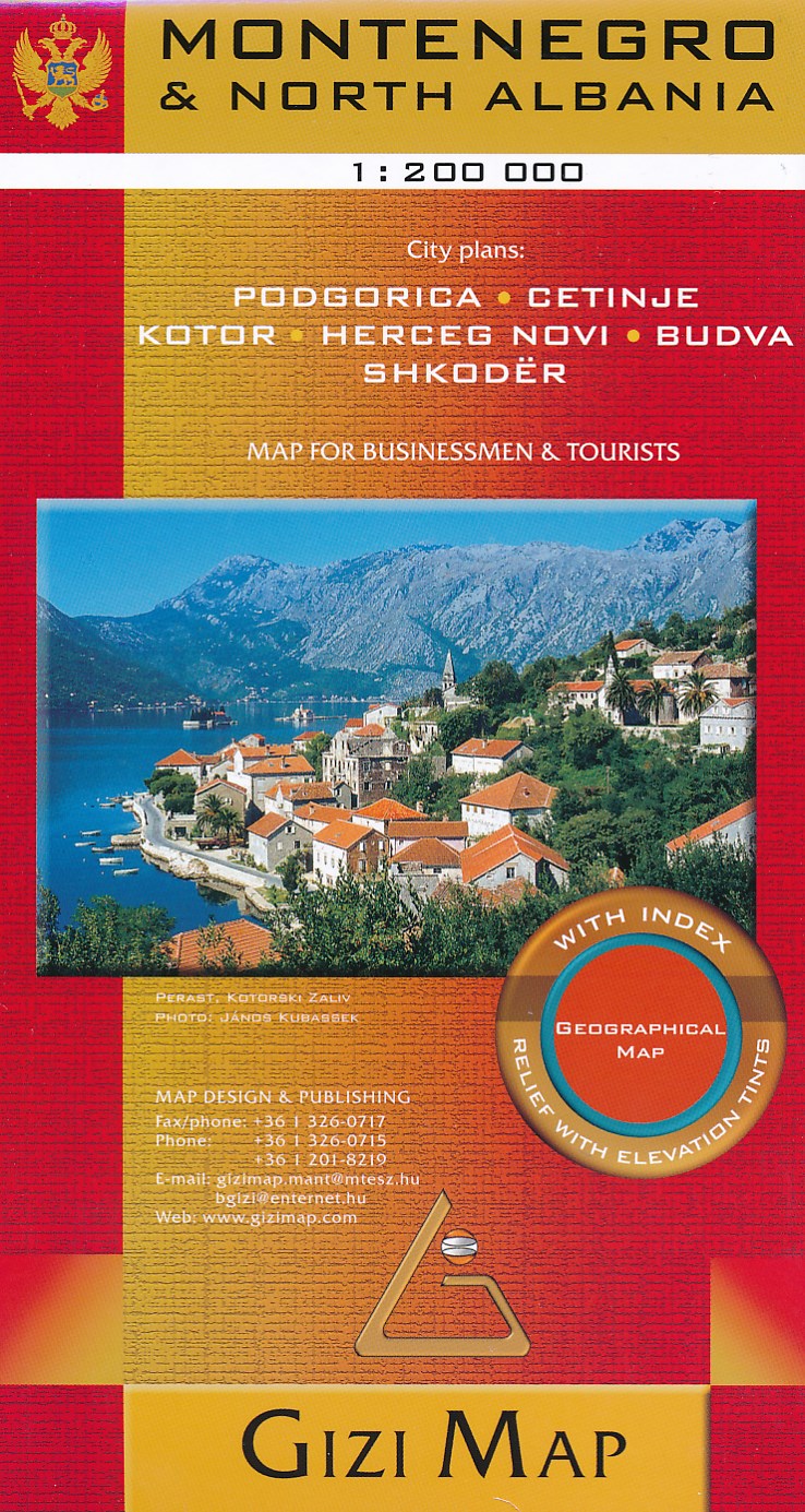
- Wegenkaart - landkaart Montenegro | Gizi Map
- Montenegro & North Albania 1 : 200 000 ab 11.99 EURO City plans: Podgorica, Cetinje, Kotor, Herceg Novi, Budva, Shkoder Gizi Map. Neuauflage Read more