
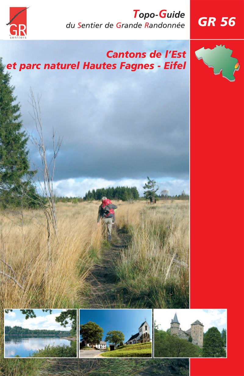
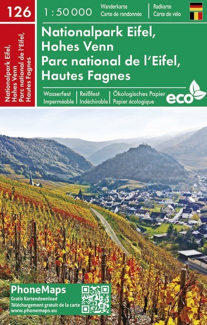
Hautes Fagnes
Beschreibung
Extensive and unique moor in Belgium, with parts extending into Germany.
Karte

Wanderwege Region
Links
Fakten
Berichte
Führer und Karten
Übernachtung
Organisationen
Reisebüros
GPS
Sonstiges
Bücher
- Also available from:
- De Zwerver, Netherlands
De Zwerver
Netherlands
2022
Netherlands
2022
- Wandelgids Ardennen | Rother Bergverlag
- uitstalige wandelgids met zeer goed beschreven wandelingen in de genoemde gebieden. Redelijk kaartmateriaal, vooral de beschrijving van de route en de praktische info die er bij hoort is meer dan goed. Mit den Ardennen und und dem Hohen Venn verfügt Belgien über zwei Mittelgebirge, die noch nahezu unbekannt sind. Die letzten Hochmoore und... Read more
De Zwerver
Netherlands
2023
Netherlands
2023
De Zwerver
Netherlands
2021
Netherlands
2021
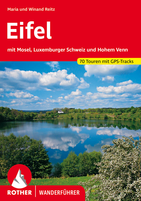
- Wandelgids Eifel | Rother Bergverlag
- Uitstekende wandelgids met een groot aantal dagtochten in dal en hooggebergte. Met praktische informatie en beperkt kaartmateriaal! Wandelingen in verschillende zwaarte weergegeven in rood/blauw/zwart. Auf Schritt und Tritt führt Sie dieser Band aus der Reihe der ROTHER WANDERFÜHRER durch ein Stück unverbrauchte Natur mitten in Deutschland.... Read more
De Zwerver
Netherlands
2019
Netherlands
2019
De Zwerver
Netherlands
Netherlands
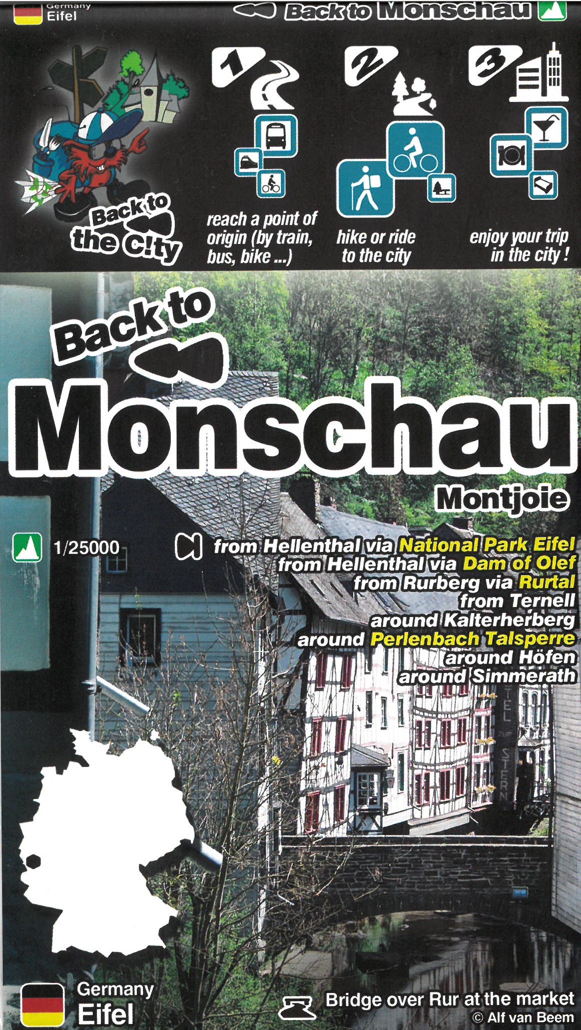
- Wandelkaart Monschau | Mini-Ardenne
- This new series of hiking / riding maps of regions in the Ardennes, Flanders and various regions in the countries around Belgium are characterized by a clear use of colour and ease of use. With miles of signed small and large loop-shaped walks. - relief and contour lines with an interval of 5 meters - multitude of interesting locations... Read more
- Also available from:
- Stanfords, United Kingdom

Stanfords
United Kingdom
United Kingdom
- Monschau Hike & Bike Map
- This new series of hiking / riding maps of regions in the Ardennes, Flanders and various regions in the countries around Belgium are characterized by a clear use of colour and ease of use. With miles of signed small and large loop-shaped walks. - relief and contour lines with an interval of 5 meters - multitude of interesting locations... Read more

Stanfords
United Kingdom
2019
United Kingdom
2019
- La Traversée des Alpes de la Maurienne a l`Ubaye GR5/GR56
- 9 days from Modane to Larche by the GR5, as much for the tour of Ubaye.Grande Traversée des Alpes: de la Maurienne a l`Ubaye, FFRP topoguide Ref. No. 531, covering the third stage of the GR5 in the French Alps from Modane to Larche, plus the Tour de l`Ubaye at its southern end, in all 272km for hiking routes. Current edition of this title was... Read more
Bol.com
Netherlands
2014
Netherlands
2014
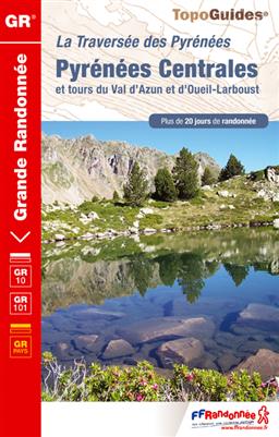
- Pyrenees Centrales et Tour du Val d'Azun GR10/101 Plus de 20 Jours de Randonnee
- 15 jours en hauteur, d'Arrens à Melles. Inclus le tour du Val d'Azun. Le sentier franchit plusieurs cols dépassant les 2000 mètres, qui offrent de magnifiques points de vue sur le Pic du Midi de Bigorre, le Pic Long ou le Pic de Bacanère. Mais il longe aussi des bassins au doux relief, ouverts à la lumière comme à Luz-St-Sauveur ou... Read more
- Also available from:
- Bol.com, Belgium
Bol.com
Belgium
2014
Belgium
2014
- Pyrenees Centrales et Tour du Val d'Azun GR10/101 Plus de 20 Jours de Randonnee
- 15 jours en hauteur, d'Arrens à Melles. Inclus le tour du Val d'Azun. Le sentier franchit plusieurs cols dépassant les 2000 mètres, qui offrent de magnifiques points de vue sur le Pic du Midi de Bigorre, le Pic Long ou le Pic de Bacanère. Mais il longe aussi des bassins au doux relief, ouverts à la lumière comme à Luz-St-Sauveur ou... Read more
Bol.com
Netherlands
2013
Netherlands
2013
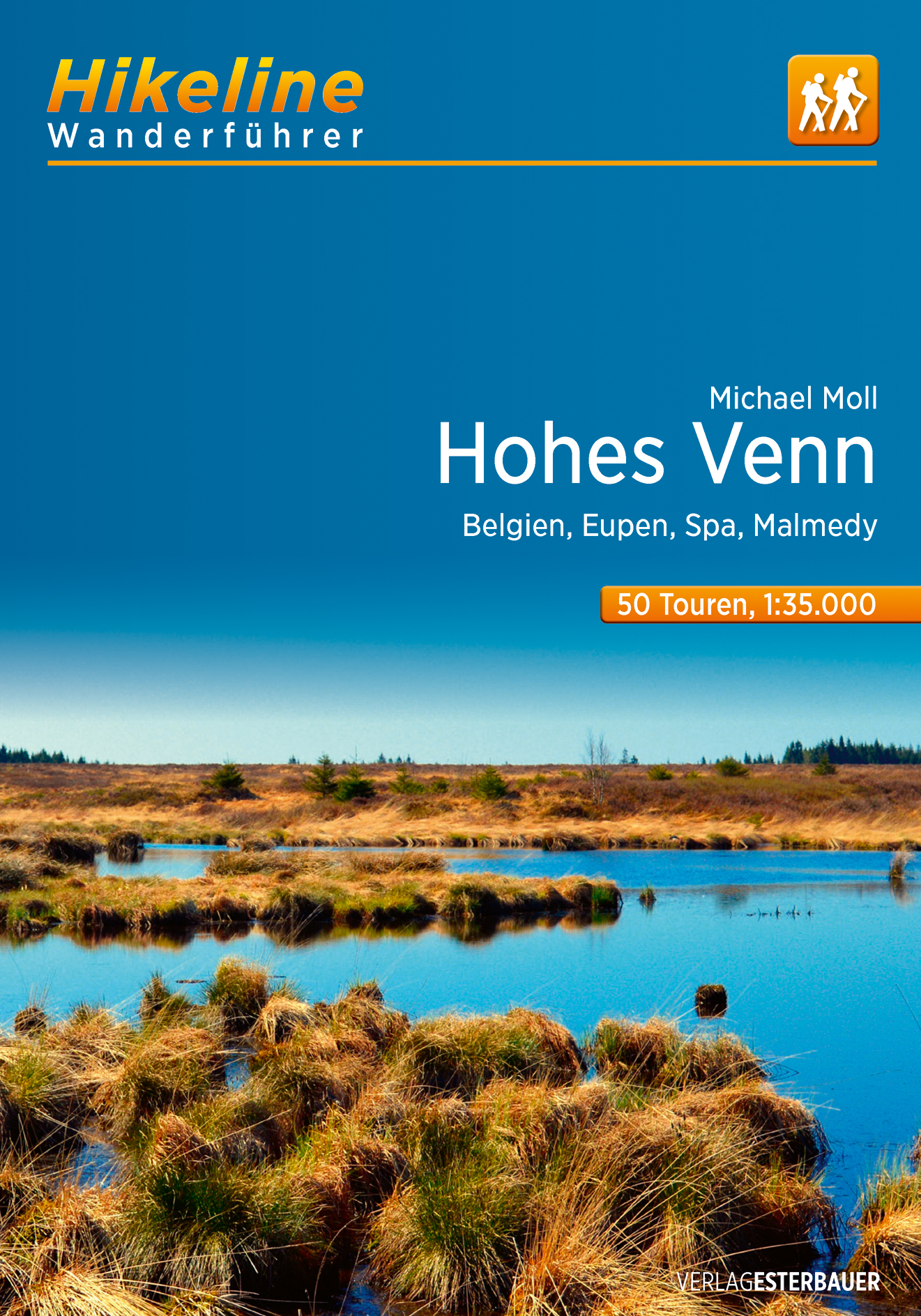
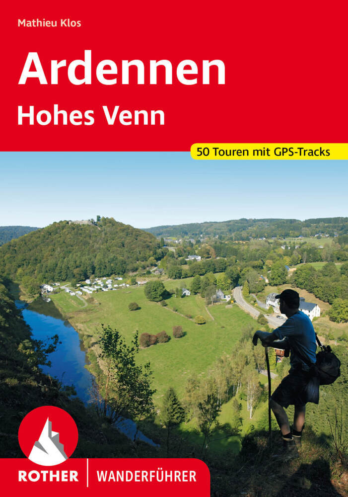
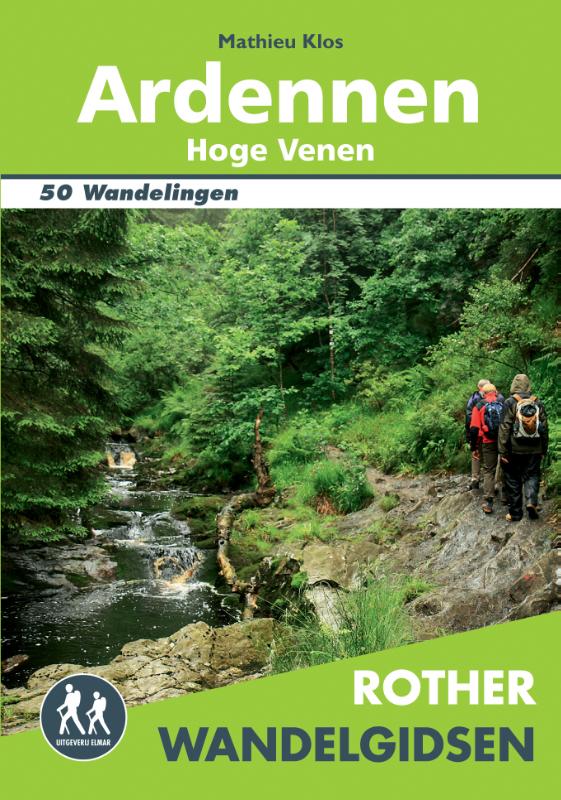
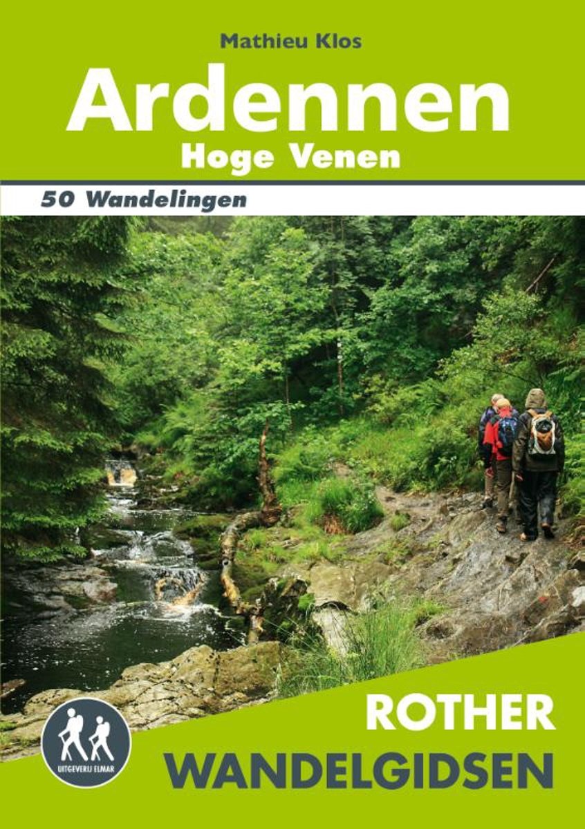
- Rother Wandelgidsen - Ardennen Hoge Venen
- 50 uitgelezen wandelingen in de Belgische Ardennen en in de Hoge Venen, in het hoge moeras ten westen van de Eifel en langs de valleien van de Warche, de Ourthe, de Semois, de Lesse en de Maas.De Ardennen zijn met recht een populaire wandelbestemming: tot een hoogte van 700 meter verheft zich dit landschap, met hoogvenen, uitgestrekte bossen,... Read more
- Also available from:
- Bol.com, Belgium
Bol.com
Belgium
2013
Belgium
2013
- Rother Wandelgidsen - Ardennen Hoge Venen
- 50 uitgelezen wandelingen in de Belgische Ardennen en in de Hoge Venen, in het hoge moeras ten westen van de Eifel en langs de valleien van de Warche, de Ourthe, de Semois, de Lesse en de Maas.De Ardennen zijn met recht een populaire wandelbestemming: tot een hoogte van 700 meter verheft zich dit landschap, met hoogvenen, uitgestrekte bossen,... Read more
Karten
De Zwerver
Netherlands
Netherlands
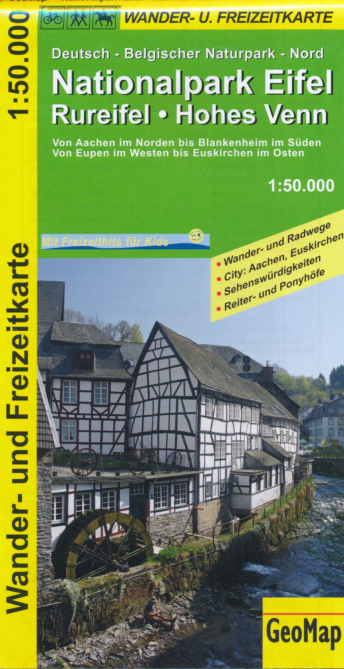
- Wandelkaart 44101 Nationalpark Eifel - Rureifel - Hohes Venn | GeoMap
- Goede detailkaart van dit gebied, met wandel en fietsroutes, met vereenvoudigde cartografie. Symbolen voor o.a. campings, horeca en bezienswaardigheden. Read more
De Zwerver
Netherlands
Netherlands
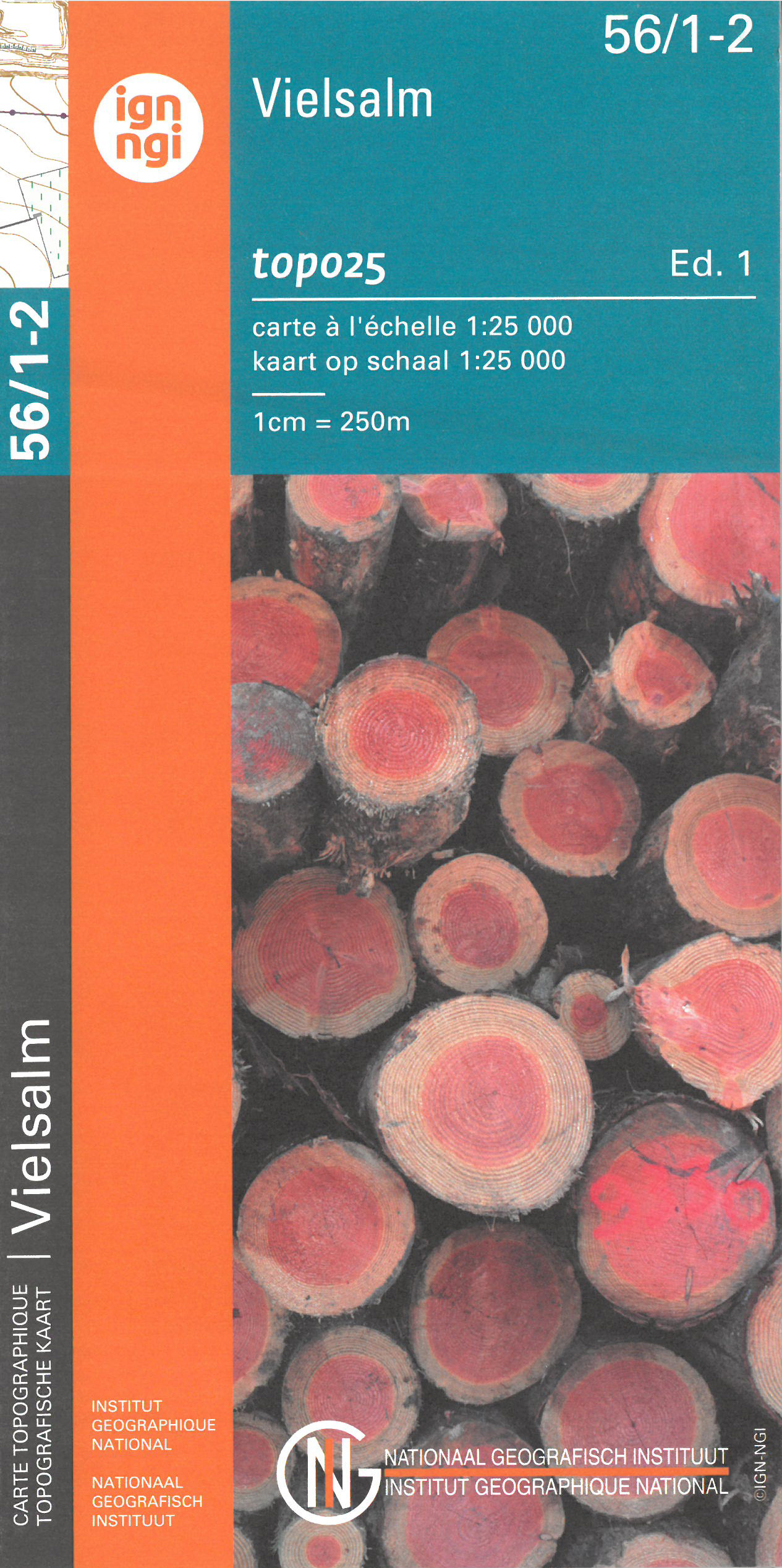
- Wandelkaart - Topografische kaart 56/1-2 Topo25 Vielsalm - Recht | NGI - Nationaal Geografisch Instituut
- Zeer gedetailleerde topografische kaart van een deel van Belgie. Deze kaart is bijzonder geschikt voor wandeltochten in met name het heuvelachtige gebied van de Ardennen. Voorzien van alle topografische details als hoogtelijnen, waterlopen, bosgebieden, paden en brandgangen. Hoogtelijnen maken het mogelijk de moeilijkheidsgraad van een... Read more
De Zwerver
Netherlands
Netherlands
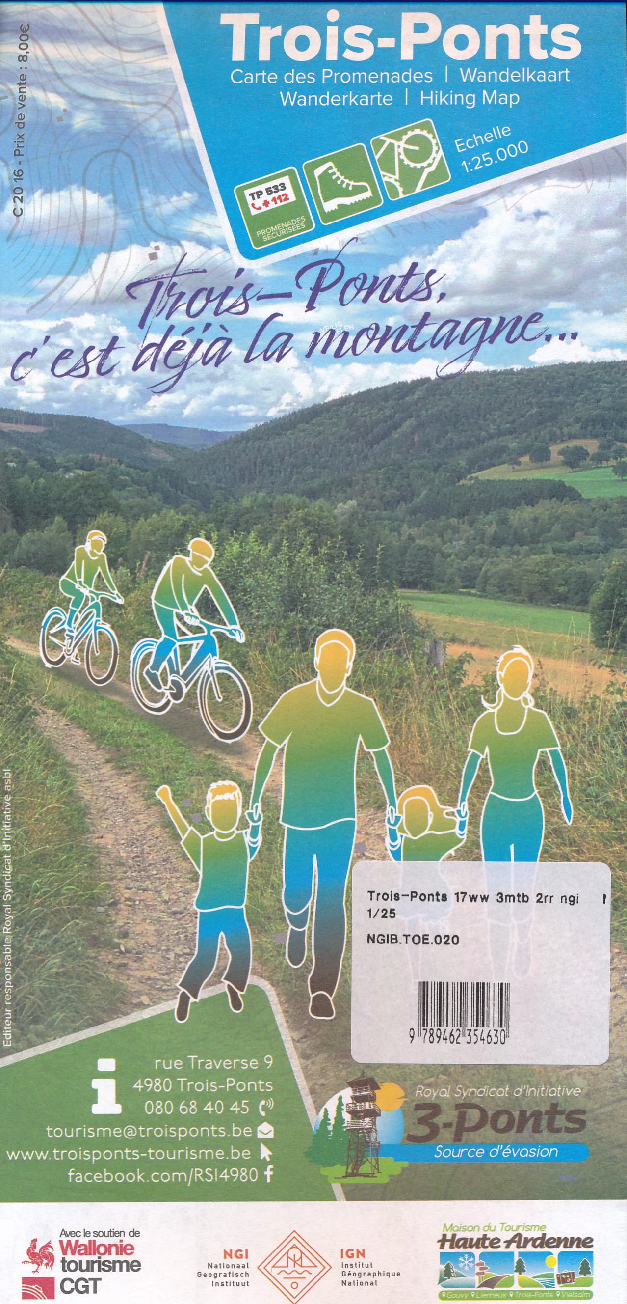
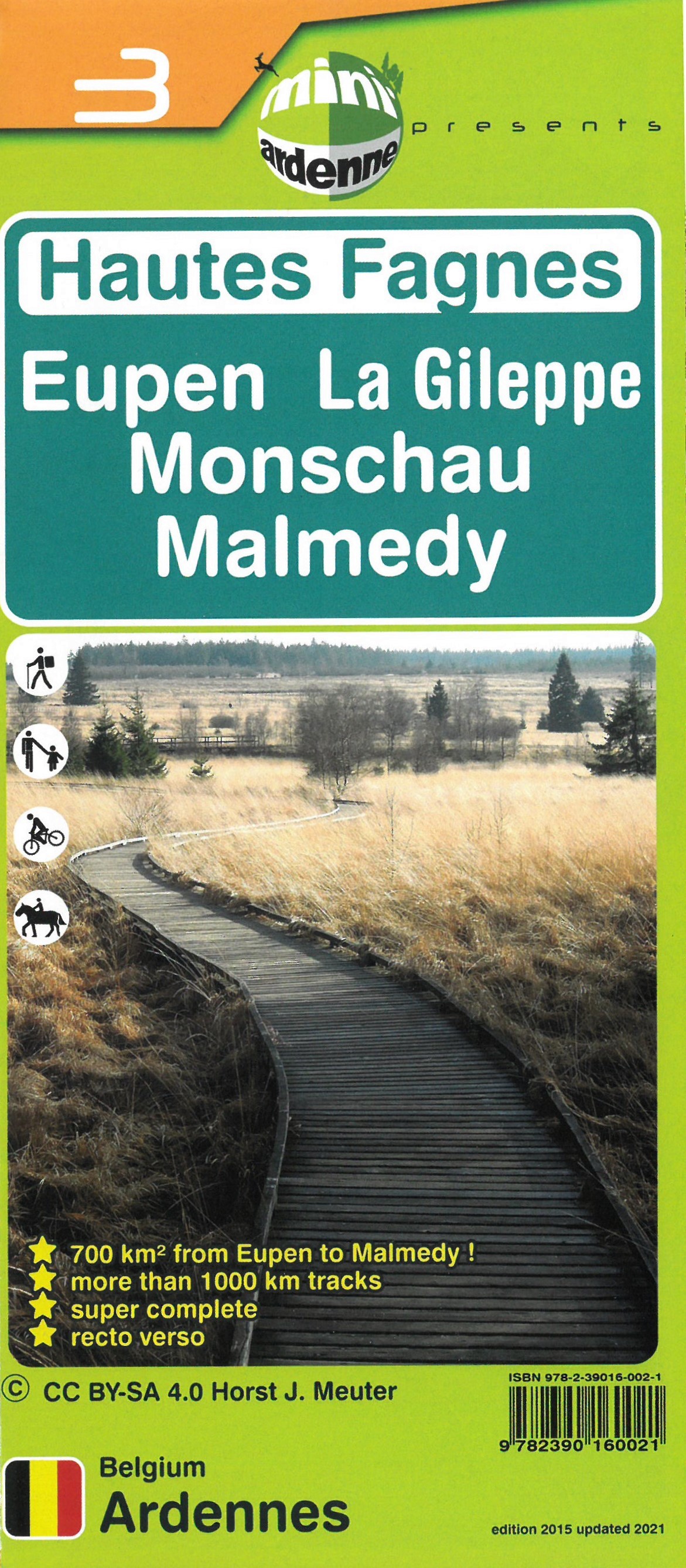
- Wandelkaart 03 Hautes Fagnes - Hoge Venen | Mini-Ardenne
- De wandelkaarten van Mini-Ardenne zijn volledig nieuw en op schaal 1/25000. De kaarten doen u belanden in een netwerk van honderden kilometers paden voor wandelaars, fietsers en ruiters. Door het gebruik van knooppunten (elk knooppunt is gelinkt aan een plaats), kunnen zowel de beginnende als de geoefende wandelaars de Ardennen en zijn... Read more
- Also available from:
- Stanfords, United Kingdom

Stanfords
United Kingdom
United Kingdom
- Haute Fagnes - Eupen - La Gileppe - Monschau - Malmedy Mini-Ardenne 3
- Ardennes Recreational Maps at a scale of 1:25,000 enable you to discover the Ardennes from junction to junction, each associated with a locality, through a network of hiking, cycling or riding paths.The network of mini walks consists of suggested routes with kilometre distance marked showing field boundaries and urbanised built up areas. ... Read more
De Zwerver
Netherlands
Netherlands
De Zwerver
Netherlands
2021
Netherlands
2021
De Zwerver
Netherlands
Netherlands
- Wandelkaart - Topografische kaart 50/5-6 Topo25 Stavelot - Malmédy - Waimes - Ligneuville | NGI - Nationaal Geografisch Instituut
- Topographical survey of Belgium at 1:20,000 from Nationaal Geografisch Instituut / Institut Géographique National, the country’s national survey organization. Each 20K map covers one quarter of the corresponding 1:50,000 map (with adjustments in the border and coastal areas). The maps provide all the information expected of topographic mapping... Read more
- Also available from:
- Stanfords, United Kingdom

Stanfords
United Kingdom
United Kingdom
- Malmedy NGI Topo 50/5-6
- Topographical survey of Belgium at 1:20,000 from Nationaal Geografisch Instituut / Institut Géographique National, the country’s national survey organization. Each 20K map covers one quarter of the corresponding 1:50,000 map (with adjustments in the border and coastal areas). The maps provide all the information expected of topographic mapping... Read more
De Zwerver
Netherlands
2021
Netherlands
2021