
Karwendel
Beschreibung

Karwendel - a well known mountain area in northern Austria, above Innsbruck, bordering to Germany - is the largest mountain area of the Northern Limestone Alps. It is a beautiful place, and many people have fallen in love with the wild and typical dry mountain scenery.
The area is situated between the rivers Inn and Isar rivers and the Achensee. The highest peak is the Birkkarspitze (2749 m). The four mountain ranges count some 125 peaks above 2000 m.
The Karwendel is ideal for making challenging multi-day hikes. Mountain hiking experience is required for all but the most easy trails. For although some cabins can be reached through a simple path, most trails in between are more difficult. They are narrow and steep and occasionally need some light "scrambling”. The crossing from one valley to another requires steep climbs and descents over the arid limestone ranges. Some passages are secured with steel cables.
For the well-trained hiker, the Karwendel is a rewarding destination.
Karte

Wanderwege Region
Links
Fakten
Berichte
Führer und Karten
Übernachtung
Organisationen
Reisebüros
GPS
Sonstiges
Bücher


Netherlands
2013
- Wandelgids Münchner Wanderberge | Rother Bergverlag
- De ‘Rother Wanderbücher’ behandelen telkens de 50 mooiste wandelingen, die variëren van eenvoudige kindvriendelijke wandelingen tot routes die aanzienlijk meer ervaring vereisen. Uitvoerige routebeschrijvingen, een aantrekkelijke lay-out met vele kleurenfoto’s, niets aan duidelijkheid te wensen gelaten hoogteprofielen, kaartjes met de... Read more


Netherlands
2022

Netherlands
2022
- Wandelgids Munchen - Venetie, München - Venedig | Rother Bergverlag
- Beschrijving van een lange afstand pad dwars door de Alpen van Munchen naar Venetie: goede beschrijvingen van de etappes, kaarten redelijk. Die anspruchsvolle Alpenüberquerung von München nach Venedig verläuft auf einer der interessantesten aller möglichen Routen über das höchste Gebirge Europas. Im Herzen Münchens beginnt die Tour am... Read more

Netherlands
2011
- Wandelgids Tirol Oberinntal | Rother Bergverlag
- 50 Touren zwischen Innsbruck und Arlberg Rother Wanderbuch. 1. Auflage. Read more
Netherlands
2021
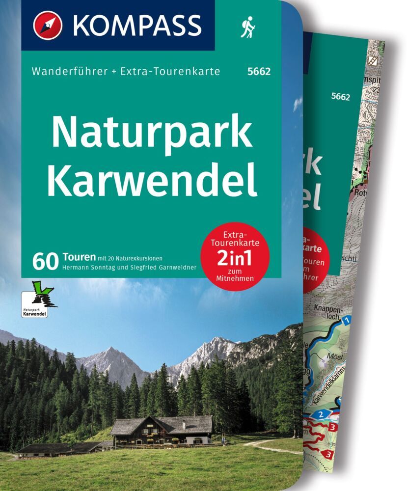
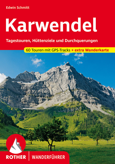
- Wandelgids Karwendel | Rother Bergverlag
- Uitstekende wandelgids met een groot aantal dagtochten in dal en hooggebergte. Met praktische informatie en beperkt kaartmateriaal! Wandelingen in verschillende zwaarte weergegeven in rood/blauw/zwart. In deze nieuwe versie is een kaart bijgevoegd op schaal 1:60.000 Das Karwendel, jenes »urweltliche Gebirg',« zwischen Inntal und... Read more

Netherlands
2023

Netherlands
2020
- Wandelgids Leichte Wanderungen Münchner Berge | Rother Bergverlag
- 40 Touren zwischen Garmisch und Chiemgau Rother Wanderführer. 3. Auflage. Read more

Netherlands
2018
- Wandelgids Tourist route E4 in Bulgaria | Oilaripi
- Verrassend goede wandelgids van een deel van de E4 in Bulgarije. Goede kaarten, hoogteprofielen, prima beschrijvingen en praktische informatie maken het een volwaardige wandelgids die je in eerste instantie van dit gebied niet zou verwachten. Guidebook along the main ridge of the great alpine route E4 in Bulgaria, also known as �the fiv... Read more

Netherlands
2011
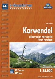
- Wandelgids Hikeline Karwendel | Esterbauer
- Handzame gids met een goede beschrijving van een groot aantal dagtochten in dit gebied. De gids is in spiraalbinding en elke pagina is op scheur- en watervast papier gedrukt. Daar is echt over nagedacht! Streckencharakteristik Länge, Höhenmeter und Anforderungen Die vierzig Touren dieses Buches decken eine große Bandbreite von kurzen... Read more


Netherlands
2015
- Wandelgids Österreich: Adlerweg - Oostenrijk | Conrad Stein Verlag
- Handzaam boekje met de routebeschrijving inclusief een heleboel praktische informatie. De beschrijving is uitstekend, maar kaarten zijn beperkt en schetsmatig aanwezig. Duits. Dieses OutdoorHandbuch beschreibt Tirols bekanntesten Fernwanderweg, den 320 km langen Adlerweg zwischen St. Johann i. T. im Osten und der Passhöhe des Arlbergpasses im... Read more
Karten

United Kingdom
- Exo Mani 2018
- Uitstekende wandelkaart op scheur- en watervast papier van het wandelgebied rond Kardamyli maar ook nog met Agios Nikolaos. De wandelpaden staan er op ingetekend, zo ook alle bezienswaardigheden als klooster, kastelen en meerdere opgravingen. Mani is the middle and southernmost peninsula of the Peloponnese and is split between Laconia and... Read more
- Also available from:
- De Zwerver, Netherlands
- Stanfords, United Kingdom

Netherlands
- Wandelkaart 8.10 Exo Mani | Anavasi
- Uitstekende wandelkaart op scheur- en watervast papier van het wandelgebied rond Kardamyli maar ook nog met Agios Nikolaos. De wandelpaden staan er op ingetekend, zo ook alle bezienswaardigheden als klooster, kastelen en meerdere opgravingen. Mani is the middle and southernmost peninsula of the Peloponnese and is split between Laconia and... Read more

United Kingdom
- Exo Mani - Verga - Kardamyli - Trachila Anavasi 8.10
- The northern part of the western coast of the Mani Peninsula, the “middle finger” of the Peloponnese, on a light, waterproof and tear-resistant, double-sided, contoured and GPS-compatible map at 1:20,000 from Anavasi highlighting 24 hiking trails and various facilities and places of interest. Coverage, with a good overlap between the sides,... Read more

United Kingdom
- Dachstein - Ausseerland - Filzmoos - Ramsau Hiking + Leisure Map 1:50 000
- Dachstein - Ausseer Land - Filzmoos - Ramsau - Bad Ischl - Schladming area of the Austrian Alps presented at 1:50,000 in a series of contoured and GPS compatible outdoor leisure map from Freytag & Berndt with hiking and cycling routes, mountain huts, campsites and youth hostels, local bus stops, plus other tourist information. To see the list... Read more
- Also available from:
- Stanfords, United Kingdom

United Kingdom
- Dachstein - Ausseerland - Filzmoos - Ramsau F&B WK281
- Dachstein - Ausseer Land - Filzmoos - Ramsau - Bad Ischl - Schladming area of the Austrian Alps presented at 1:50,000 in a series of contoured and GPS compatible outdoor leisure map from Freytag & Berndt with hiking and cycling routes, mountain huts, campsites and youth hostels, local bus stops, plus other tourist information. To see the list... Read more

United Kingdom
- Prespa - Vitsi - Voras
- Uitstekende topografische kaarten van een deel van Griekenland: zonder meer hele goede kaarten voor wandeltochten in een onbekend stuk Griekenland! Ze zijn gedrukt op scheurvast en watervast papier op een schaal van 1:50.000 met een UTM grid voor GPS gebruikers. Op de meeste kaarten is geven de hoogtelijnen een interval van 20m. aan. Met... Read more
- Also available from:
- De Zwerver, Netherlands
- Stanfords, United Kingdom

Netherlands
- Wandelkaart 6.2 Prespa - Vitsi - Voras | Anavasi
- Uitstekende topografische kaarten van een deel van Griekenland: zonder meer hele goede kaarten voor wandeltochten in een onbekend stuk Griekenland! Ze zijn gedrukt op scheurvast en watervast papier op een schaal van 1:50.000 met een UTM grid voor GPS gebruikers. Op de meeste kaarten is geven de hoogtelijnen een interval van 20m. aan. Met... Read more

United Kingdom
- Prespa - Vitsi - Voras Anavasi 6.2
- Prespa - Vitsi – Voras area of northern Greece at 1:50,000 on a light, waterproof and tear-resistant, GPS compatible, contoured map from Anavasi, with recommendations for three hiking trails and notes on the E4 and E6 cross-European trails. The map is double-sided; coverage in the west starts from the Prespa Lake on the border with Albania and... Read more

United Kingdom
- Samaria - Sougia
- Uitstekende topografische kaarten van een deel van Griekenland: zonder meer hele goede kaarten voor wandeltochten in een onbekend stuk Griekenland! Ze zijn gedrukt op scheurvast en watervast papier op een schaal van 1:25.000 met een UTM grid voor GPS gebruikers. Op de meeste kaarten is geven de hoogtelijnen een interval van 20m. aan. Met... Read more
- Also available from:
- De Zwerver, Netherlands
- Stanfords, United Kingdom

Netherlands
- Wandelkaart 11.13 Samaria - Soughia - Kreta | Anavasi
- Uitstekende topografische kaarten van een deel van Griekenland: zonder meer hele goede kaarten voor wandeltochten in een onbekend stuk Griekenland! Ze zijn gedrukt op scheurvast en watervast papier op een schaal van 1:25.000 met een UTM grid voor GPS gebruikers. Op de meeste kaarten is geven de hoogtelijnen een interval van 20m. aan. Met... Read more

United Kingdom
- Samaria - Sougia - Paliochora Anavasi 11.13
- Samaria – Sougia area of the White Mountains on Crete on a waterproof and tear-resistant, GPS compatible and contoured hiking map at 1:25,000 from Anavasi, extending from the famous Gorge of Samaria westwards to Azogyres and Plemeniana, and north past Omalos and the peaks of Troili and Kaimeni Kafala.Topography is shown by contour lines at 20m... Read more

United Kingdom
- Also available from:
- Stanfords, United Kingdom

United Kingdom
- Carinthian Alps - Gailtal - Gitschtal - Nassfeld - Lesachtal - Weissensee - Upper Drautal F&B WK223
- Naturarena Kärnten - Gailtal - Gitschtal -Lesachtal - Weissensee - Oberes Drautal area of Carinthia presented at 1:50,000 in a series of contoured and GPS compatible outdoor leisure map from Freytag & Berndt with hiking and cycling routes, mountain huts, campsites and youth hostels, local bus stops, plus other tourist information.To see the... Read more

United Kingdom
- Also available from:
- Stanfords, United Kingdom

United Kingdom
- Zillertal - Tuxer Alps - Jenbach - Schwaz F&B WK151
- Zillertal - Tuxer Alps - Jenbach – Schwaz - Mayrhofen area of the Austrian Alps presented at 1:50,000 in a series of contoured and GPS compatible outdoor leisure map from Freytag & Berndt with hiking and cycling routes, mountain huts, campsites and youth hostels, local bus stops, plus other tourist information.To see the list of currently... Read more

United Kingdom
- Crete West
- Western Crete on a double-sided, contoured and GPS compatible map at 1:100,000 from Harms Verlag, with highlighting for numerous places of interest and 20 recommended hiking trails, plus street plans of central Heraklion, Rethymnon and Chania and a plan of the archaeological site at Knossos. All place names are in both Greek and Latin alphabet.... Read more
- Also available from:
- De Zwerver, Netherlands

Netherlands
- Wandelkaart Kreta west | Harms IC Verlag
- Western Crete on a double-sided, contoured and GPS compatible map at 1:100,000 from Harms Verlag, with highlighting for numerous places of interest and 20 recommended hiking trails, plus street plans of central Heraklion, Rethymnon and Chania and a plan of the archaeological site at Knossos. All place names are in both Greek and Latin alphabet.... Read more

United Kingdom
- Also available from:
- Stanfords, United Kingdom

United Kingdom
- Kufstein - Kaisergebirge - Kitzbühel F&B WK301
- Kufstein - Kaisergebirge - Kitzbühel - Wörgl - St Johann in Tirol area of the Austrian Alps presented at 1:50,000 in a series of contoured and GPS compatible outdoor leisure map from Freytag & Berndt with hiking and cycling routes, mountain huts, campsites and youth hostels, local bus stops, plus other tourist information. To see the list of... Read more

United Kingdom
- Wetterstein - Karwendel - Seefeld - Leutasch - Garmisch-Partenkirchen Hiking + Leisure Map 1:50 000
- Wetterstein - Karwendel - Seefeld - Leutasch - Garmisch-Partenkirchen area of the Austrian and Bavarian Alps presented at 1:50,000 in a series of contoured and GPS compatible outdoor leisure map from Freytag & Berndt with hiking and cycling routes, mountain huts, campsites and youth hostels, local bus stops, plus other tourist information. To... Read more
- Also available from:
- Stanfords, United Kingdom

United Kingdom
- Wetterstein - Karwendel - Seefeld - Leutasch - Garmisch-Partenkirchen F&B WK322
- Wetterstein - Karwendel - Seefeld - Leutasch - Garmisch-Partenkirchen area of the Austrian and Bavarian Alps presented at 1:50,000 in a series of contoured and GPS compatible outdoor leisure map from Freytag & Berndt with hiking and cycling routes, mountain huts, campsites and youth hostels, local bus stops, plus other tourist information. To... Read more

United Kingdom
- Fragokastelo - Plakias 2016
- Uitstekende topografische kaarten van een deel van Griekenland: zonder meer hele goede kaarten voor wandeltochten in een onbekend stuk Griekenland! Ze zijn gedrukt op scheurvast en watervast papier op een schaal van 1:25.000 met een UTM grid voor GPS gebruikers. Op de meeste kaarten is geven de hoogtelijnen een interval van 20m. aan. Met... Read more
- Also available from:
- De Zwerver, Netherlands
- Stanfords, United Kingdom

Netherlands
- Wandelkaart 11.17 Frangokastelo - Plakias - Kreta | Anavasi
- Uitstekende topografische kaarten van een deel van Griekenland: zonder meer hele goede kaarten voor wandeltochten in een onbekend stuk Griekenland! Ze zijn gedrukt op scheurvast en watervast papier op een schaal van 1:25.000 met een UTM grid voor GPS gebruikers. Op de meeste kaarten is geven de hoogtelijnen een interval van 20m. aan. Met... Read more

United Kingdom
- Frangokastelo - Plakias Anavasi 11.17
- The Frangokastelo – Plakias area on the southern coast of Crete at 1:25,000 in a series of contoured, GPS compatible hiking maps of Crete from Anavasi, printed waterproof and tear-resistant paper. Annotations provide useful hints for walkers. Coverage extends from Imbros Gorge in the west to Plakias in the east.Topography is shown by contour... Read more

Netherlands
2016
- Wandelgids The Cretan Way E4 | Anavasi
- The Cretan Way is a 500km walking route which takes you from east to west across the varied and spectacular landscapes of Crete. It is the ideal way to discover the rural, mountainous and costal regions of this incredible island. This guide is based on a 28-day walk.This guide includes practical information, maps at a scale of 1:25.000 of... Read more
- Also available from:
- Stanfords, United Kingdom

United Kingdom
2016
- The Cretan Way - A 28 Day Walk
- The Cretan Way is a 500km walking route which takes you from east to west across the varied and spectacular landscapes of Crete. It is the ideal way to discover the rural, mountainous and costal regions of this incredible island. This guide is based on a 28-day walk.This guide includes practical information, maps at a scale of 1:25.000 of... Read more
Netherlands
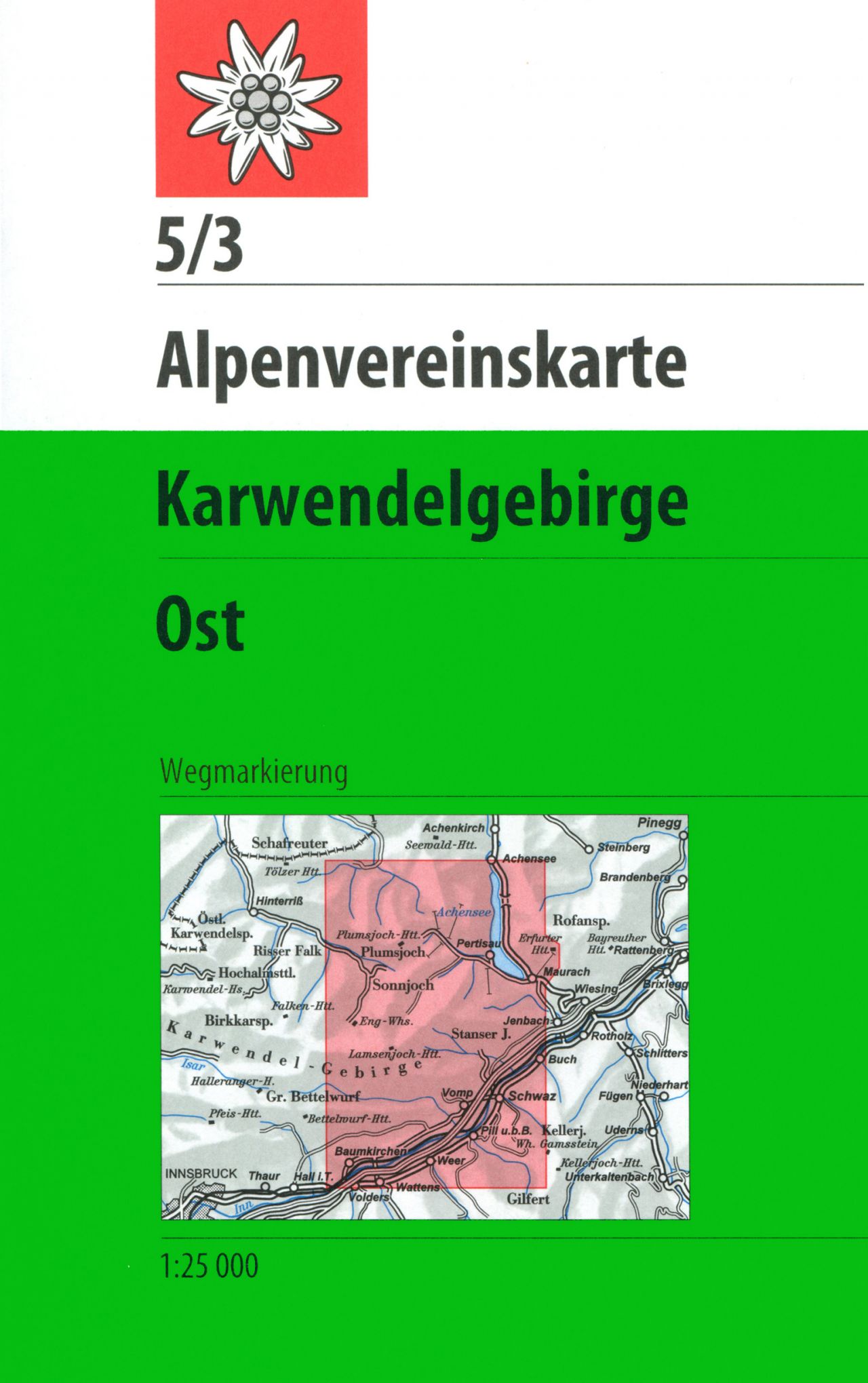
- Wandelkaart 05/3 Alpenvereinskarte Karwendelgebirge - Ost | Alpenverein
- De beste en meest gedetailleerde kaarten van met name de Oostenrijkse alpen: wandelroutes zijn naar zwaarte onderscheidend gemarkeerd, gletsjeroverschrijdingen staan aangegeven en de verschillende soorten hutten ingetekend. Met als ondergrond de topografische kaarten bieden ze een schat aan informatie voor elke beginnende en gevorderde... Read more

Netherlands
- Wandelkaart 2.1 Mt. Parnassos | Anavasi
- Parnassos - Kirfis area in a series of waterproof and tear-resistant hiking maps at scales varying from 1:50,000 to 1:10,000, with a UTM grid for GPS users. Contour interval varies depending on the scale, on most maps it is 20m. Relief shading, spot heights, springs, seasonal streams and, in most titles, landscape/land-use variations, e.g.... Read more

Netherlands
- Wandelkaart 05 Cervino Matterhorn e Monte Rosa | IGC - Istituto Geografico Centrale
- Matterhorn/M.Cervino and Monte Rosa, map no. 5, in a series contoured hiking maps at 1:50,000 with local trails, long-distance footpaths, mountain accommodation, etc. from the Turin based Istituto Geografico Centrale covering the Italian Alps and Piedmont, the lakes and northern Lombardy, and the Italian Riviera.The maps have contours at 50m... Read more
- Also available from:
- Stanfords, United Kingdom

United Kingdom
- Matterhorn / M. Cervino - Monte Rosa IGC 5
- The Italian side of the Matterhorn and Monte Rosa, with coverage extending from Zermatt to Aosta, in a series contoured hiking maps at 1:50,000 with local trails, long-distance footpaths, mountain accommodation, etc. from the Turin based Istituto Geografico Centrale. Maps in this series have contours at 50m intervals, enhanced by shading and... Read more

Netherlands
- Wandelkaart 21 Il Canavese da Ivrea a Chivasso | IGC - Istituto Geografico Centrale
- Il Canavese: Ivrea to Chiavasso, map no. 21, in a series contoured hiking maps at 1:50,000 with local trails, long-distance footpaths, mountain accommodation, etc. from the Turin based Istituto Geografico Centrale covering the Italian Alps and Piedmont, the lakes and northern Lombardy, and the Italian Riviera.The maps have contours at 50m... Read more
- Also available from:
- Stanfords, United Kingdom

United Kingdom
- Il Canavese: Ivrea to Chiavasso 50K IGC Map No. 21
- Il Canavesea area including Ivrea and Chiavasso in a series contoured hiking maps at 1:50,000 with local trails, long-distance footpaths, mountain accommodation, etc. from the Turin based Istituto Geografico Centrale. This title also shows cycle routes.Maps in this series have contours at 50m intervals, enhanced by shading and graphic relief.... Read more