
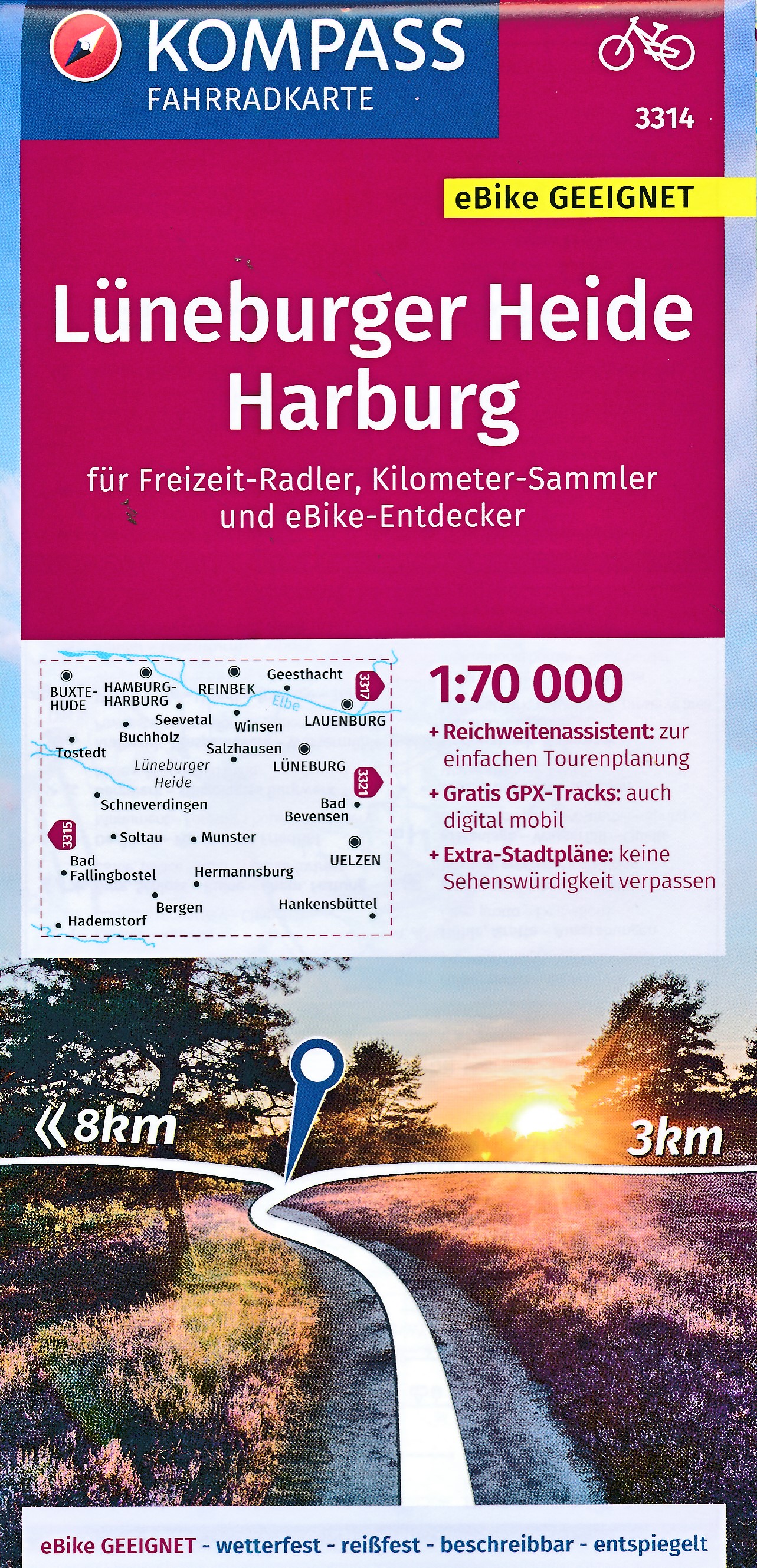
Lüneburger Heide
Beschreibung
Plateau in Mecklenburg-Vorpommern.
Wanderwege Region
Links
Fakten
Berichte
Führer und Karten
Übernachtung
Organisationen
Reisebüros
GPS
Sonstiges
Bücher
De Zwerver
Netherlands
2023
Netherlands
2023


De Zwerver
Netherlands
2017
Netherlands
2017
- Wandelgids 411 Kautokeino - Nordkap E1 | Conrad Stein Verlag
- Handzaam boekje met de routebeschrijving inclusief een heleboel praktische informatie. De beschrijving is uitstekend, maar kaarten zijn wat beperkt. Duits. Die 330 km lange Wanderung auf dem E1 von Kautokeino zum Nordkap ist ein unvergessliches Wanderabenteuer. In 15 Etappen laufen Sie durch die Wildnis Nordnorwegens und überqueren die... Read more


De Zwerver
Netherlands
2022
Netherlands
2022


De Zwerver
Netherlands
2021
Netherlands
2021
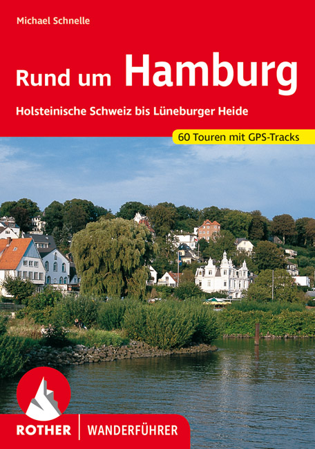
- Wandelgids Rund um Hamburg | Rother Bergverlag
- Uitstekende wandelgids met een groot aantal dagtochten in dal en hooggebergte. Met praktische informatie en beperkt kaartmateriaal! Wandelingen in verschillende zwaarte weergegeven in rood/blauw/zwart. 50 Wanderungen in Hamburgs Umland, nicht nur für Wochenendausflügler Das Umland Hamburgs ist von einer beeindruckenden landschaftlichen Vielfalt... Read more

Bol.com
Netherlands
2017
Netherlands
2017
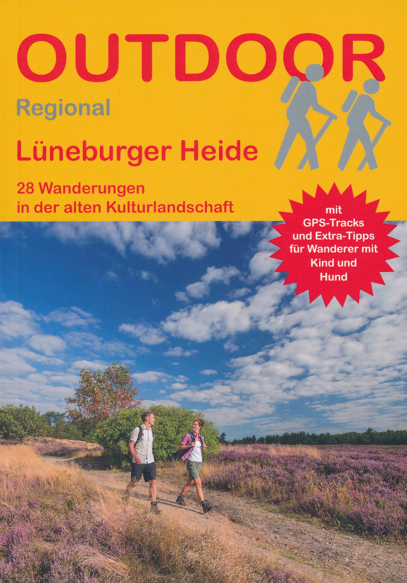
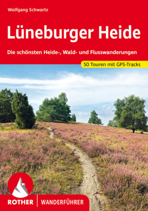
- 28 Wanderungen Lüneburger Heide
- Die größten zusammenhängenden Heideflächen Deutschlands liegen in der Lüneburger Heide. Kein Wunder also, dass Anfang des 20. Jahrhunderts gerade hier die ersten Flächen für den Naturschutz reserviert wurden. Aus den kleinen Anfängen am Wilseder Berg und am Totengrund entstand der heutige "Naturpark Lüneburger Heide", in dem die einzigartige... Read more
- Also available from:
- Bol.com, Belgium
Bol.com
Belgium
2017
Belgium
2017
- 28 Wanderungen Lüneburger Heide
- Die größten zusammenhängenden Heideflächen Deutschlands liegen in der Lüneburger Heide. Kein Wunder also, dass Anfang des 20. Jahrhunderts gerade hier die ersten Flächen für den Naturschutz reserviert wurden. Aus den kleinen Anfängen am Wilseder Berg und am Totengrund entstand der heutige "Naturpark Lüneburger Heide", in dem die einzigartige... Read more
Bol.com
Netherlands
Netherlands
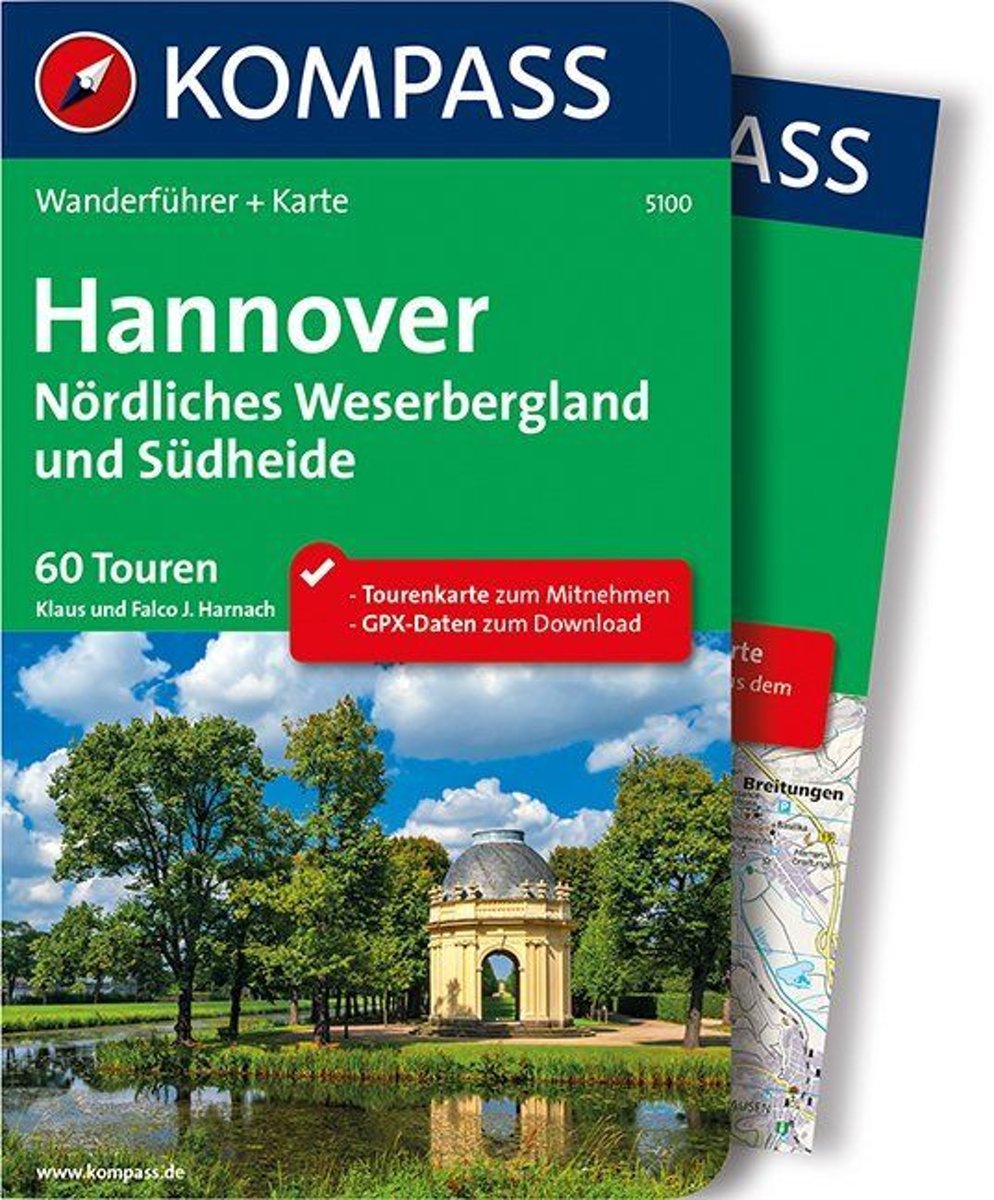
- WF5100 Hannover Kompass
- Destination:. Die Region Hannover ist ein riesiges Einzugsgebiet mit gut 100 km Durchmesser, die politisch eine Einheit bildet. In ihr sind die ehemaligen Landkreise Hannover, Springe, Neustadt am Rübenberge und Burgdorf zusammengefasst. Im Süden grenzt sie an das Weser- Leine-Bergland, im Norden an die Heide.. Im Buch vorgestellt werden auch... Read more
- Also available from:
- Bol.com, Belgium
Bol.com
Belgium
Belgium
- WF5100 Hannover Kompass
- Destination:. Die Region Hannover ist ein riesiges Einzugsgebiet mit gut 100 km Durchmesser, die politisch eine Einheit bildet. In ihr sind die ehemaligen Landkreise Hannover, Springe, Neustadt am Rübenberge und Burgdorf zusammengefasst. Im Süden grenzt sie an das Weser- Leine-Bergland, im Norden an die Heide.. Im Buch vorgestellt werden auch... Read more
Karten

De Zwerver
Netherlands
Netherlands
- Wandelkaart 63 Eggegebirge (Nordteil) mit Eggeweg, E1, Jakobspilgerweg | GeoMap
- Topographische Wanderkarte für den nördlichen Teil des Eggegebirges mit Eggeweg, E1, Jakobspilgerweg. 4. Auflage. Read more
De Zwerver
Netherlands
Netherlands
De Zwerver
Netherlands
Netherlands
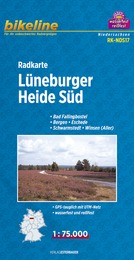
- Fietskaart NDS17 Bikeline Radkarte Lüneburger Heide Süd | Esterbauer
- Bikeline Fahrradkarte Deutschland Lüneburger Heide Süd 1:75.000 ab 6.9 EURO Bad Fallingbostel, Bergen - Eschede, Schwarmstedt - Winsen ( ALLER ), GPS-tauglich mit UTM-Netz, wasserfest und reißfest Bikeline Radkarte Niedersachsen. 1. Auflage Read more

De Zwerver
Netherlands
Netherlands
De Zwerver
Netherlands
Netherlands
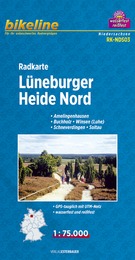
- Fietskaart NDS03 Bikeline Radkarte Lüneburger Heide Nord | Esterbauer
- Bikeline Radkarte Lüneburger Heide Nord 1 : 75.000 ab 6.9 EURO Amelingenhausen, Buchholz - Winsen ( Luhe ), Schneverdingen - Soltau, GPS-tauglich mit UTM-Netz, wasserfest und reißfest Bikeline Radkarte Niedersachsen. 1. Auflage Read more
- Also available from:
- Stanfords, United Kingdom

Stanfords
United Kingdom
United Kingdom
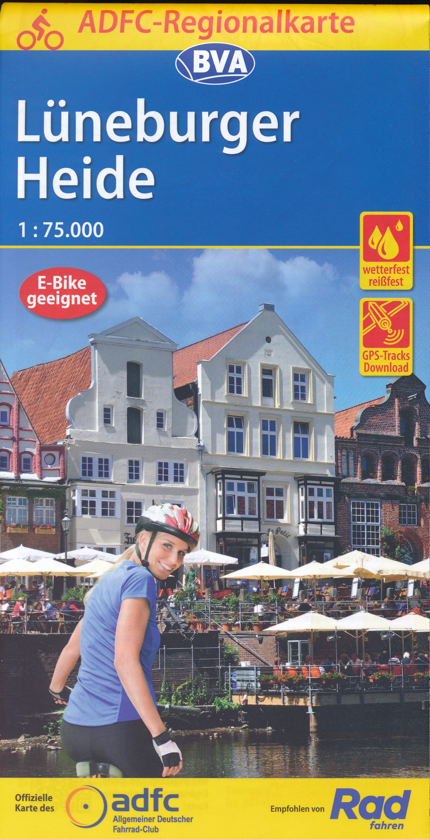
- Luneburg Heath Cycling Map
- Luneburg Heath on a waterproof, tear-resistant, GPS compatible cycling map at 1:75,000 from the ADFC (Allgemeiner Deutscher Fahrrad-Club - the official German cycling federation), in a series of maps with extensive overprint for long-distance and local cycling routes. GPS waypoints, route profiles, details of online links for information about... Read more

De Zwerver
Netherlands
Netherlands
De Zwerver
Netherlands
2020
Netherlands
2020

Stanfords
United Kingdom
United Kingdom
- Foreste Casentinesi NP Monti Editore 20
- Map No. 20, Foreste Casentinesi: Campigna, Camaldoli, Chiusi dell Verna, in series of contoured, GPS compatible hiking maps at 1:25,000 from the Istituto Geografico Adriatico, covering mainly the spine of the Apennines along the borders of Tuscany, Emilia-Romagna, Umbria and the Marches.Map in this series have contours at 25m intervals with... Read more

Stanfords
United Kingdom
United Kingdom
- Alpe della Luna 17
- Map No. 16, Monte Carpegna - Sasso di Simone, in series of contoured, GPS compatible hiking maps at 1:25,000 from the Istituto Geografico Adriatico, covering mainly the spine of the Apennines along the borders of Tuscany, Emilia-Romagna, Umbria and the Marches.Map in this series have contours at 25m intervals with additional shading and... Read more

Stanfords
United Kingdom
United Kingdom
- Colline di Rimini
- Map No. 124, Colline di Rimini, in a series of GPS compatible hiking maps at 1:50,000 from the Istituto Geografico Adriatico, covering parts of central Italy: eastern Tuscany, with northern Umbria and the Marches, plus the south-eastern of part of Emilia-Romagna. This title covers the holiday resorts on the Adriatic coast around Rimini,... Read more

Stanfords
United Kingdom
United Kingdom
- Alpe di San Benedetto 21
- Map No. 21, Alpe di San Benedetto: Passo del Muraglione – San Godenzo – Dicomano, in series of contoured, GPS compatible hiking maps at 1:25,000 from the Istituto Geografico Adriatico, covering mainly the spine of the Apennines along the borders of Tuscany, Emilia-Romagna, Umbria and the Marches.Map in this series have contours at 25m intervals... Read more

Stanfords
United Kingdom
United Kingdom
- Luneburg Heath Cycle Tour Bikeline Map-Guide
- The Lüneburger Heide Cycle Tour, several circuits around and across the Lüneburger Heide totaling 892kms, presented by the Verlag Esterbauer in a guide with maps at 1:75,000 showing the route and its variants. Extensive information is conveyed by symbols, indicating road surface, campsites and other accommodation, repair workshops, recreational... Read more