
Odenwald
Beschreibung
A highland area in Hessen, Bayern and baden-Württemberg.
Wanderwege Region
Links
Fakten
Berichte
Führer und Karten
Übernachtung
Organisationen
Reisebüros
GPS
Sonstiges
Bücher

De Zwerver
Netherlands
2012
Netherlands
2012
- Reisgids Kunstreiseführer Franken | Dumont
- Für Kunstliebhaber und Geschichtsinteressierte ist die Region im Norden Bayerns dank ihrer Fülle an herausragenden Sehenswürdigkeiten ein kleines Juwel. Allein die von der Bau- und Handwerkskunst vieler Jahrhunderte geprägten Städte wie Nürnberg, Bamberg, Bayreuth, Coburg, Würzburg oder Rothenburg rechtfertigen einen Besuch. Eingebettet sind... Read more
De Zwerver
Netherlands
2020
Netherlands
2020

De Zwerver
Netherlands
2015
Netherlands
2015
- Wandelgids Nibelungensteig | Conrad Stein Verlag
- OutdoorHandbuch. 1. Auflage. Read more

De Zwerver
Netherlands
2017
Netherlands
2017
- Wandelgids 411 Kautokeino - Nordkap E1 | Conrad Stein Verlag
- Handzaam boekje met de routebeschrijving inclusief een heleboel praktische informatie. De beschrijving is uitstekend, maar kaarten zijn wat beperkt. Duits. Die 330 km lange Wanderung auf dem E1 von Kautokeino zum Nordkap ist ein unvergessliches Wanderabenteuer. In 15 Etappen laufen Sie durch die Wildnis Nordnorwegens und überqueren die... Read more


De Zwerver
Netherlands
2021
Netherlands
2021
De Zwerver
Netherlands
2022
Netherlands
2022
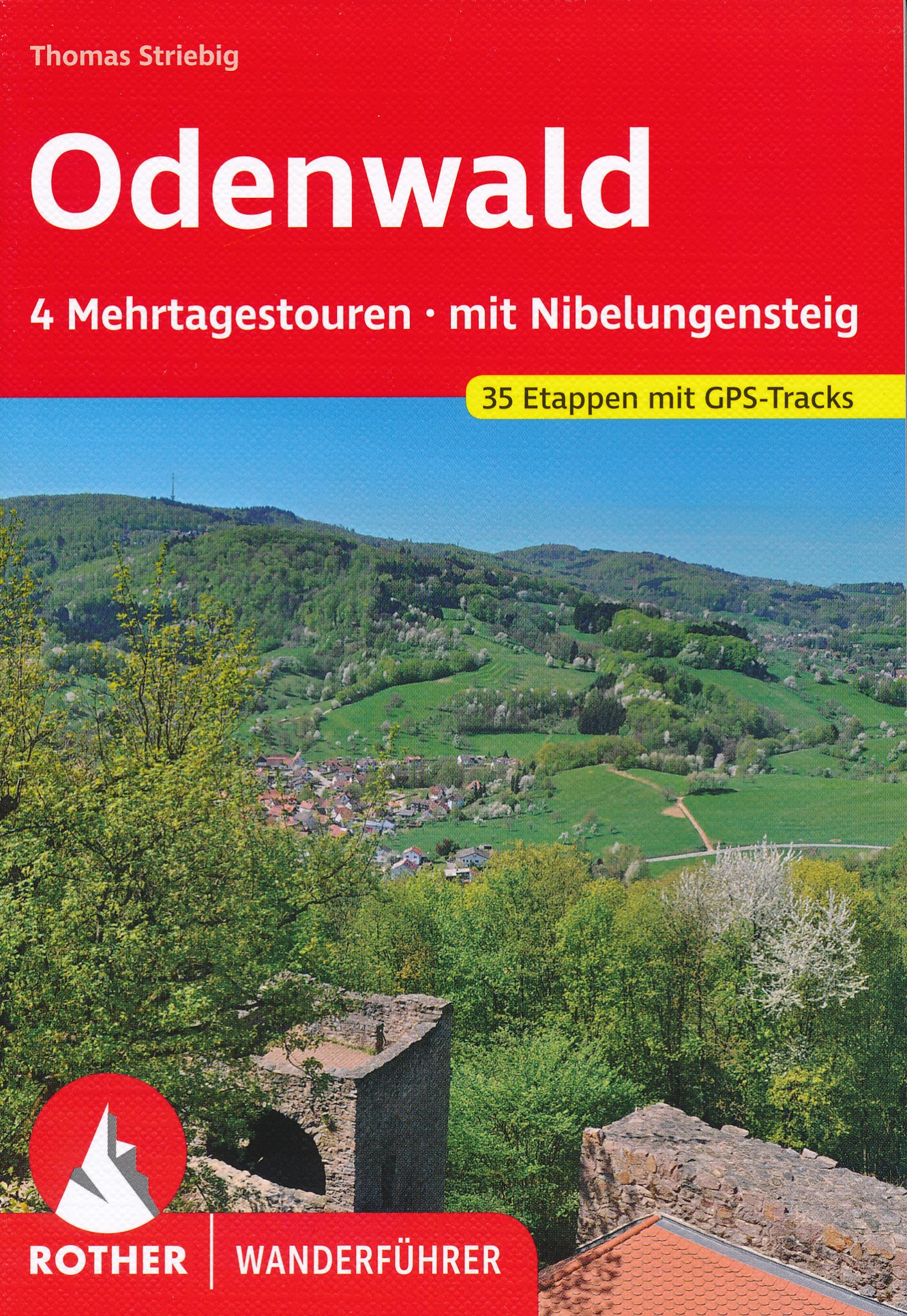
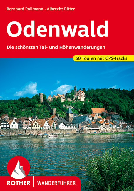
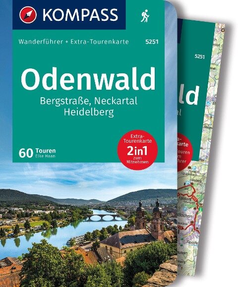
- Wandelgids Odenwald | Rother Bergverlag
- Uitstekende wandelgids met een groot aantal dagtochten in dal en hooggebergte. Met praktische informatie en beperkt kaartmateriaal! Wandelingen in verschillende zwaarte weergegeven in rood/blauw/zwart. Der Odenwald, der von der Bergstraße, dem Neckar und dem Main begrenzt wird, bietet einen reichen Schatz an Natur und Kultur. Neben den... Read more

De Zwerver
Netherlands
2021
Netherlands
2021
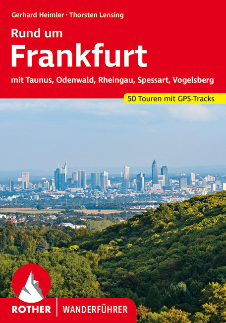
- Wandelgids Rund um Frankfurt | Rother Bergverlag
- mit Taunus, Odenwald, Rheingau, Spessart, Vogelsberg. 50 Touren. Mit GPS-Daten Read more

De Zwerver
Netherlands
2022
Netherlands
2022

Bol.com
Netherlands
Netherlands
- Hessens Schl sser und Burgen
- Die Landschaften Hessens zwischen Rhein, Schiefergebirge, Weserbergland, Werra, Rh n, Spessart und Odenwald k nnen auf eine lange Geschichte zur ckblicken. Im Verh ltnis zur Gr e des Bundeslandes ist die Anzahl der Burgruinen hier erstaunlich hoch, was darauf schlie en l sst, dass der Burgenbau in dieser Region bereits vom fr hen Mittelalter... Read more
- Also available from:
- Bol.com, Belgium
Bol.com
Belgium
Belgium
- Hessens Schl sser und Burgen
- Die Landschaften Hessens zwischen Rhein, Schiefergebirge, Weserbergland, Werra, Rh n, Spessart und Odenwald k nnen auf eine lange Geschichte zur ckblicken. Im Verh ltnis zur Gr e des Bundeslandes ist die Anzahl der Burgruinen hier erstaunlich hoch, was darauf schlie en l sst, dass der Burgenbau in dieser Region bereits vom fr hen Mittelalter... Read more
Karten

De Zwerver
Netherlands
Netherlands
De Zwerver
Netherlands
Netherlands
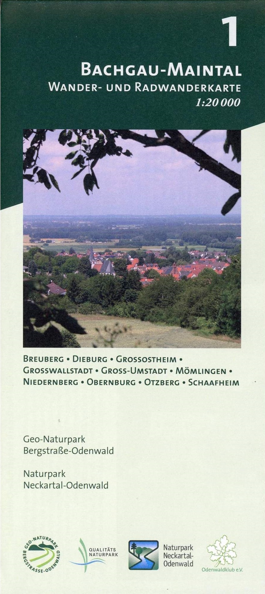
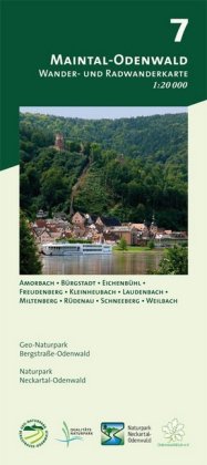
- Wandelkaart 01 Bachgau-Maintal - Odenwald | Geo-Naturpark Bergstraße-Odenwald
- Bachgau-Maintal 1:20.000 ab 8.9 EURO Wander- und Radwanderkarte. Mit Breuberg, Dieburg, Großostheim, Großwallstadt, Groß-Umstadt, Mömlingen, Niedernberg, Obernburg, Otzberg und Schaafheim Odenwald Freizeitkarte Naturpark Neckartal-Odenwald Geo-Naturpark Bergstraße-Odenwald. 1. Auflage Read more
De Zwerver
Netherlands
2021
Netherlands
2021
De Zwerver
Netherlands
Netherlands
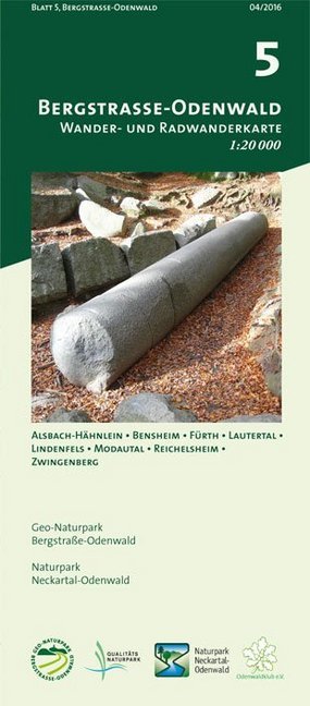
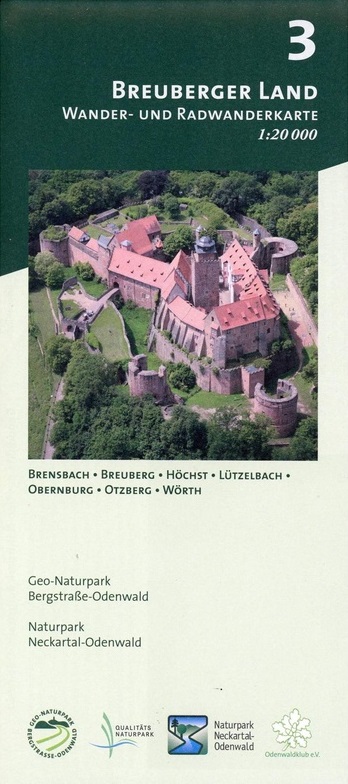
- Wandelkaart 03 Breuberger Land - Odenwald | Geo-Naturpark Bergstraße-Odenwald
- Breuberger Land 1:20.000 ab 8.9 EURO Wander- und Radwanderkarte. Mit Brensbach, Breuberg, Höchst, Lützelbach, Obernburg, Otzberg und Wörth Odenwald Freizeitkarte Naturpark Neckartal-Odenwald Geo-Naturpark Bergstraße-Odenwald. 1. Auflage Read more
De Zwerver
Netherlands
Netherlands

De Zwerver
Netherlands
2020
Netherlands
2020
De Zwerver
Netherlands
2020
Netherlands
2020
De Zwerver
Netherlands
Netherlands

Stanfords
United Kingdom
United Kingdom
- Foreste Casentinesi NP Monti Editore 20
- Map No. 20, Foreste Casentinesi: Campigna, Camaldoli, Chiusi dell Verna, in series of contoured, GPS compatible hiking maps at 1:25,000 from the Istituto Geografico Adriatico, covering mainly the spine of the Apennines along the borders of Tuscany, Emilia-Romagna, Umbria and the Marches.Map in this series have contours at 25m intervals with... Read more

Stanfords
United Kingdom
United Kingdom
- Alpe della Luna 17
- Map No. 16, Monte Carpegna - Sasso di Simone, in series of contoured, GPS compatible hiking maps at 1:25,000 from the Istituto Geografico Adriatico, covering mainly the spine of the Apennines along the borders of Tuscany, Emilia-Romagna, Umbria and the Marches.Map in this series have contours at 25m intervals with additional shading and... Read more

Stanfords
United Kingdom
United Kingdom
- Colline di Rimini
- Map No. 124, Colline di Rimini, in a series of GPS compatible hiking maps at 1:50,000 from the Istituto Geografico Adriatico, covering parts of central Italy: eastern Tuscany, with northern Umbria and the Marches, plus the south-eastern of part of Emilia-Romagna. This title covers the holiday resorts on the Adriatic coast around Rimini,... Read more

Stanfords
United Kingdom
United Kingdom
- Alpe di San Benedetto 21
- Map No. 21, Alpe di San Benedetto: Passo del Muraglione – San Godenzo – Dicomano, in series of contoured, GPS compatible hiking maps at 1:25,000 from the Istituto Geografico Adriatico, covering mainly the spine of the Apennines along the borders of Tuscany, Emilia-Romagna, Umbria and the Marches.Map in this series have contours at 25m intervals... Read more

Stanfords
United Kingdom
United Kingdom
- Alta Valle del Lamone 22
- Map No. 22, Alta Valle del Lamone: Alto Appennino Faentino – Anello di Marradi, in series of contoured, GPS compatible hiking maps at 1:25,000 from the Istituto Geografico Adriatico, covering mainly the spine of the Apennines along the borders of Tuscany, Emilia-Romagna, Umbria and the Marches.Map in this series have contours at 25m intervals... Read more